Crossflat Hill
Hill, Mountain in Renfrewshire
Scotland
Crossflat Hill
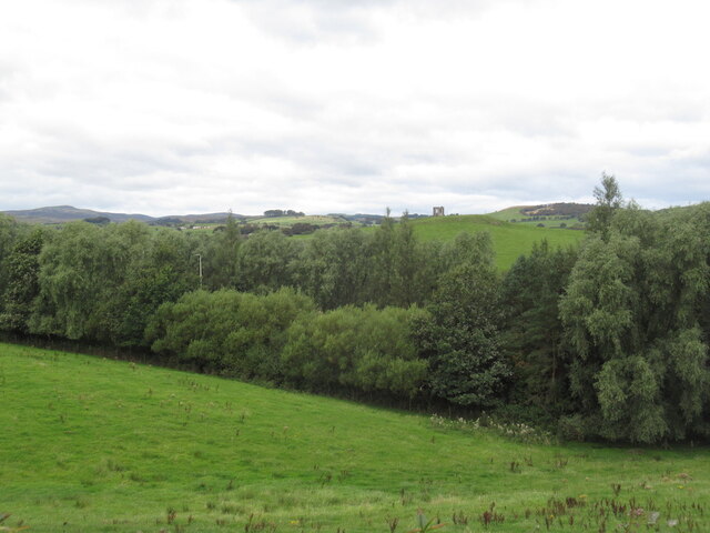
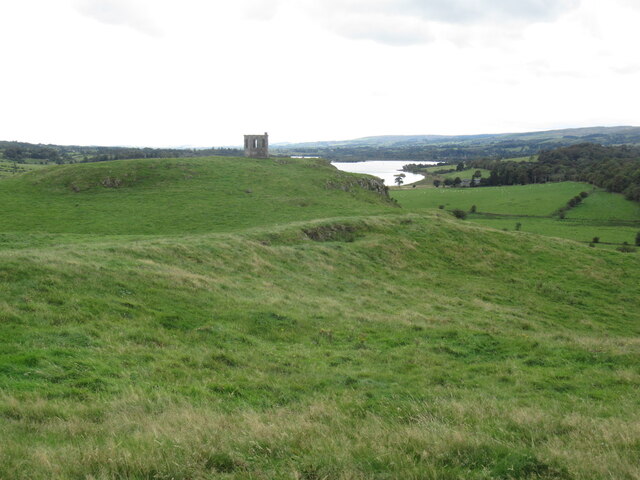
Crossflat Hill is a prominent hill located in Renfrewshire, Scotland. Rising to an elevation of 215 meters (705 feet), it forms part of the larger Clyde Muirshiel Regional Park and offers stunning panoramic views of the surrounding countryside.
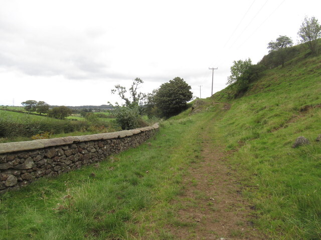
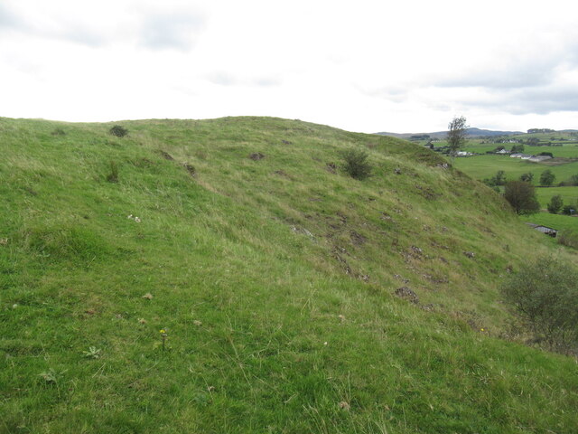
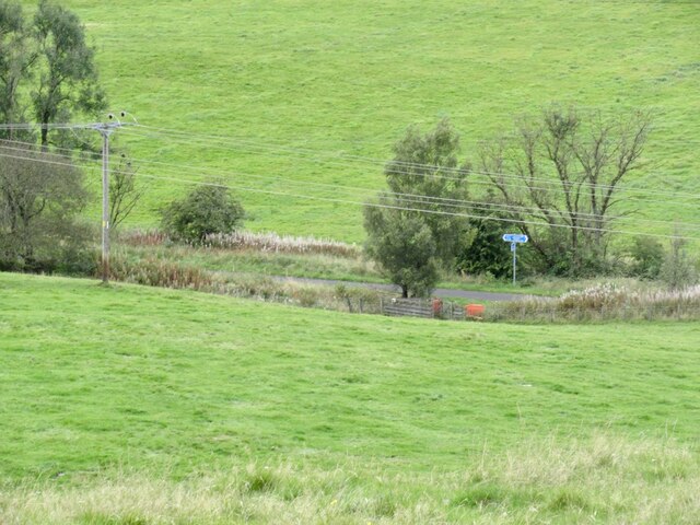
Situated about 8 kilometers (5 miles) southeast of the town of Greenock, Crossflat Hill is easily accessible by road and is a popular destination for outdoor enthusiasts and nature lovers. The hill is characterized by its gentle slopes and is covered in a mix of grassland and heather, creating a picturesque landscape.
Due to its relatively low elevation, Crossflat Hill is classified as a hill rather than a mountain. Nonetheless, its location on the western edge of Scotland means that it often experiences strong winds and inclement weather, which adds to its rugged charm.
The hill is a haven for wildlife, attracting a diverse range of bird species, including the iconic golden eagle and the elusive peregrine falcon. Visitors may also spot red deer, rabbits, and various species of wildflowers during their exploration of the area.
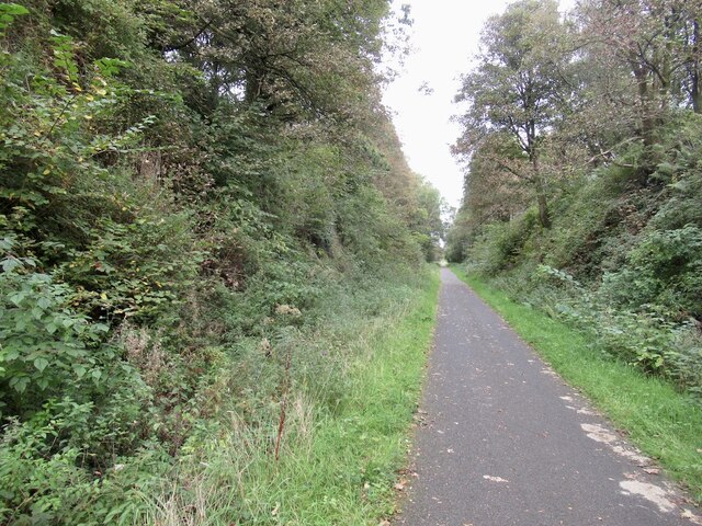
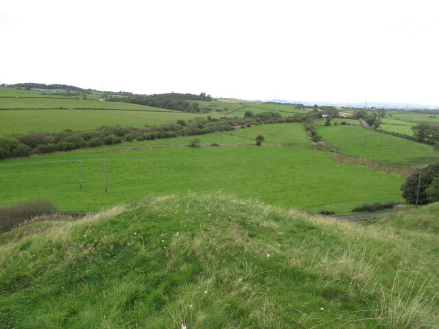
Several walking trails crisscross the hill, allowing visitors to explore its natural beauty at their own pace. These trails vary in difficulty, catering to both beginners and experienced hikers. At the summit, a trig point provides a perfect spot for taking in the breathtaking views of the surrounding countryside, including the Clyde Estuary and the distant hills of Argyll.
Overall, Crossflat Hill is a captivating natural landmark in Renfrewshire, offering a peaceful escape and a chance to immerse oneself in the beauty of Scotland's countryside.
If you have any feedback on the listing, please let us know in the comments section below.
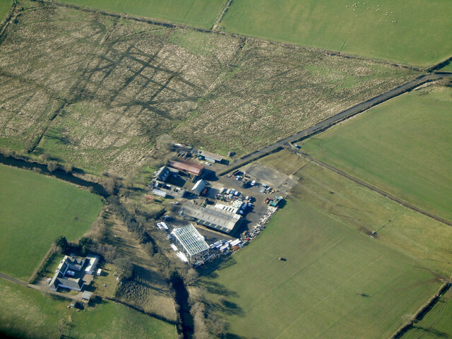
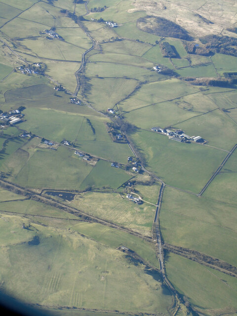
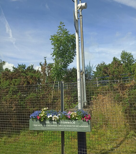
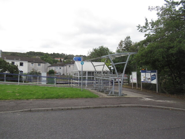
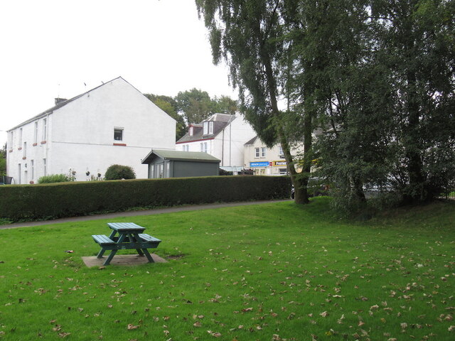
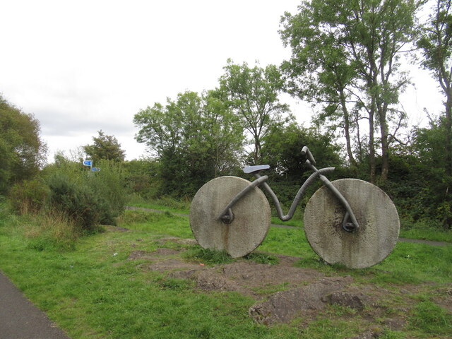
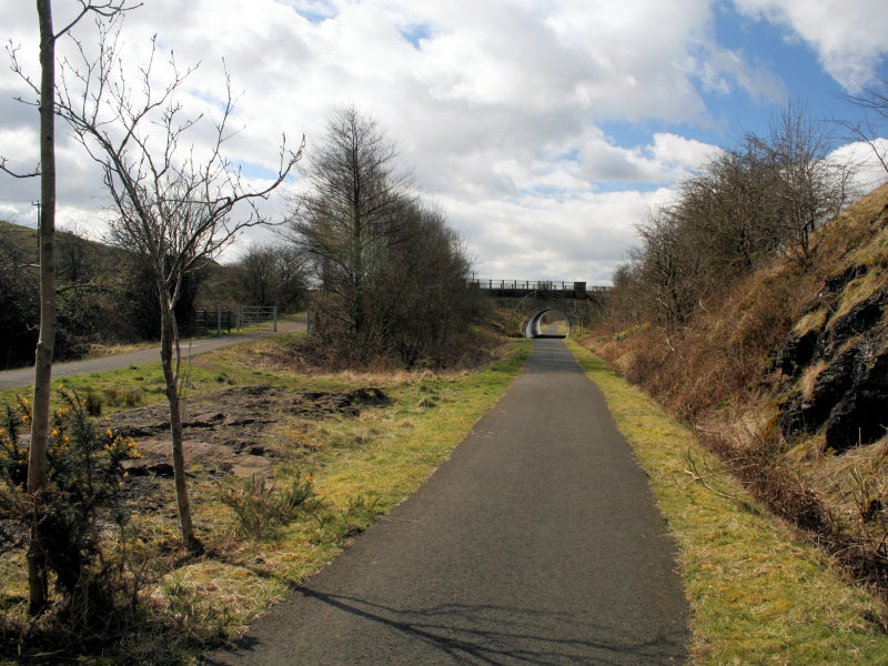
Crossflat Hill Images
Images are sourced within 2km of 55.818341/-4.5766764 or Grid Reference NS3861. Thanks to Geograph Open Source API. All images are credited.


Crossflat Hill is located at Grid Ref: NS3861 (Lat: 55.818341, Lng: -4.5766764)
Unitary Authority: Renfrewshire
Police Authority: Renfrewshire and Inverclyde
What 3 Words
///cracking.besotted.skills. Near Howwood, Renfrewshire
Nearby Locations
Related Wikis
Castle Semple railway station
Castle Semple railway station was intended to be a railway station that would have served the village of Howwood, Renfrewshire, Scotland as part of the...

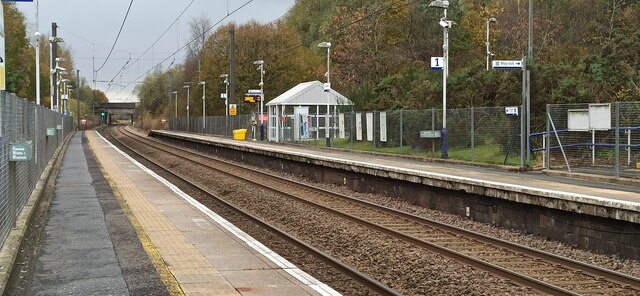
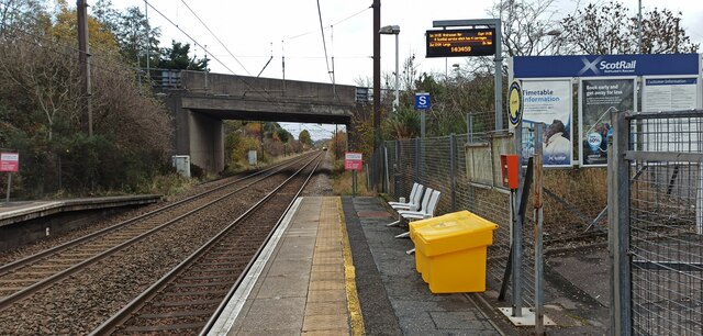
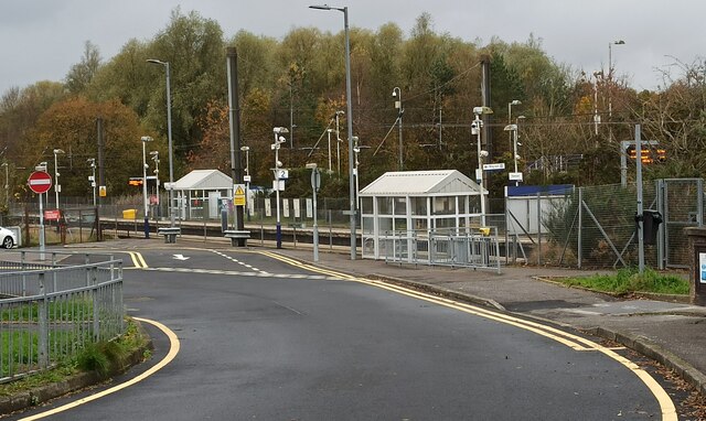
Howwood railway station
Howwood railway station is a railway station serving the village of Howwood, Renfrewshire, Scotland. The station is managed by ScotRail and is on the Ayrshire...

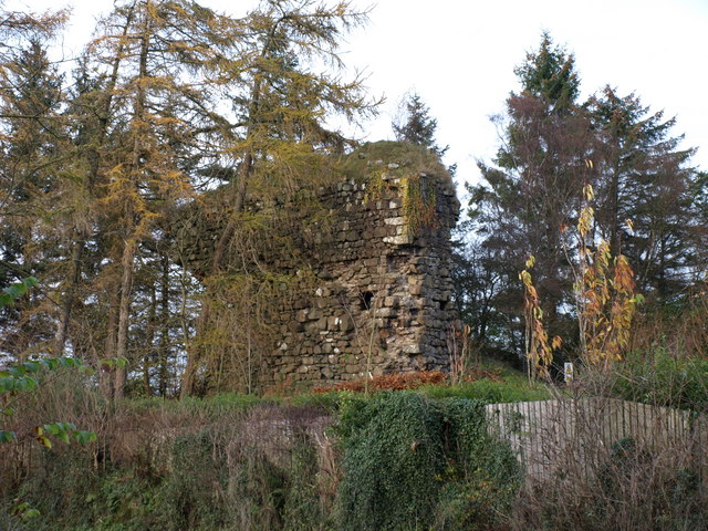
Castle Semple
Castle Semple (previously Castletoun) is a former mansion house located in Renfrewshire, Scotland. It is situated near the eastern end of Castle Semple...

Howwood
Howwood (Scots: The Howewuid, Scottish Gaelic: Coille an Dail) is a village in Renfrewshire, Scotland. It is between Johnstone and Lochwinnoch, just off...
Lands of Elliston
The lands of Elliston, previously Elliotston or Eliotstoun or Elliestoun in the Parish of Lochwinnoch were part of the holdings of the Barony of Elliston...
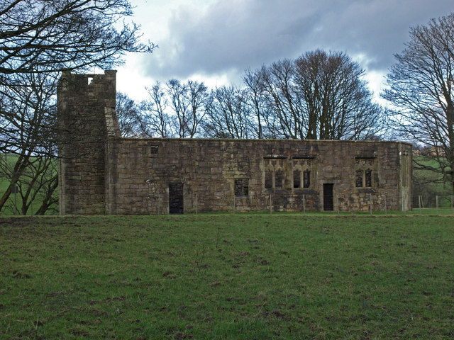
Castle Semple Church
Castle Semple Collegiate Church is located in Renfrewshire, Scotland. It is situated near the eastern end of Castle Semple Loch, within Clyde Muirshiel...
Kilbarchan
Kilbarchan (; Scottish Gaelic: Cill Bhearchain) is a village and civil parish in central Renfrewshire, in the west central Lowlands of Scotland. The village...

Renfrewshire
Renfrewshire () (Scots: Renfrewshire; Scottish Gaelic: Siorrachd Rinn Friù) is one of the 32 council areas of Scotland. The council area has the same name...
Nearby Amenities
Located within 500m of 55.818341,-4.5766764Have you been to Crossflat Hill?
Leave your review of Crossflat Hill below (or comments, questions and feedback).