Barcraigs Reservoir

Lake, Pool, Pond, Freshwater Marsh in Renfrewshire

Scotland

Barcraigs Reservoir

Rough road, Windy Hill One of several dodgy yellow roads around here.
Rough road, Windy Hill Credit: Richard Webb

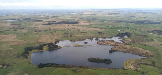
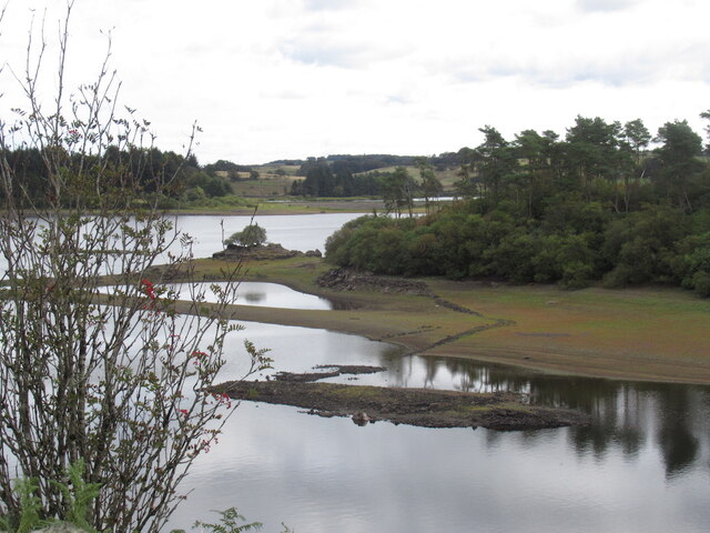
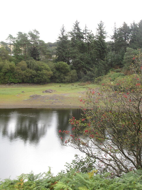
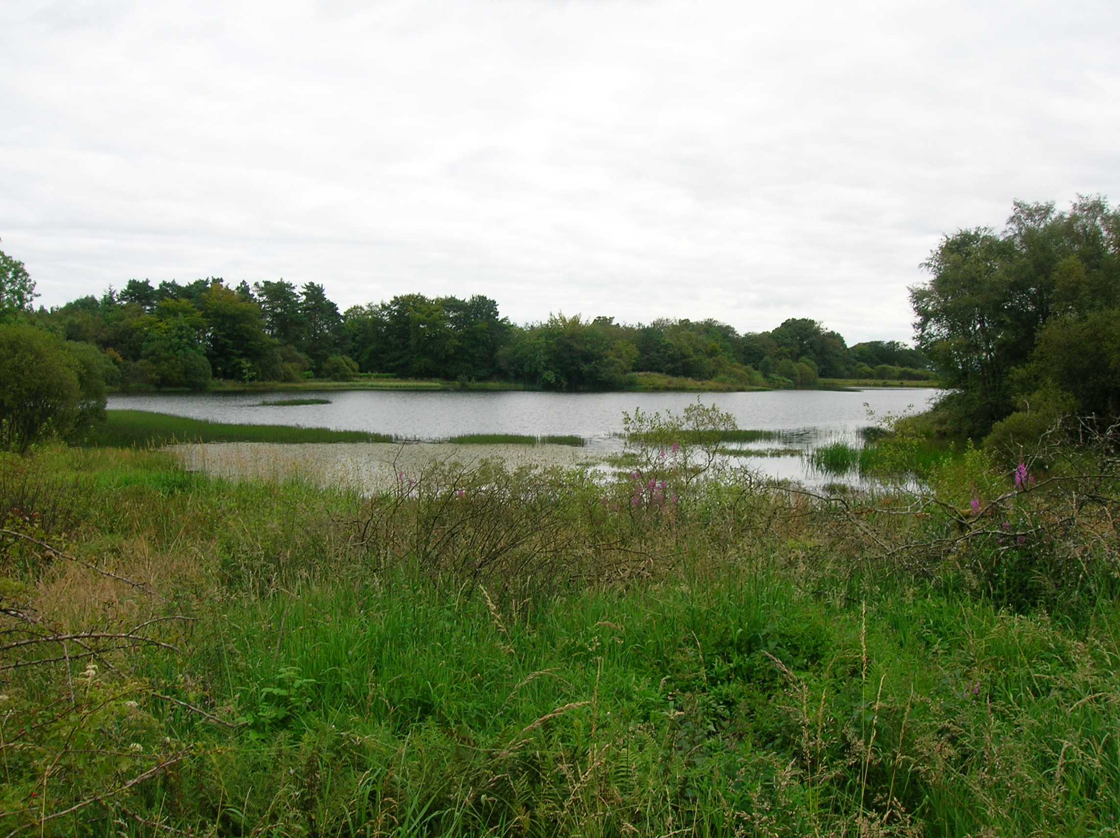
Barcraigs Reservoir, located in Renfrewshire, Scotland, is a picturesque freshwater lake nestled amidst the scenic landscapes of the region. Spanning an area of approximately XX acres, the reservoir serves as a vital water source for the surrounding areas and is managed by the local water authority.

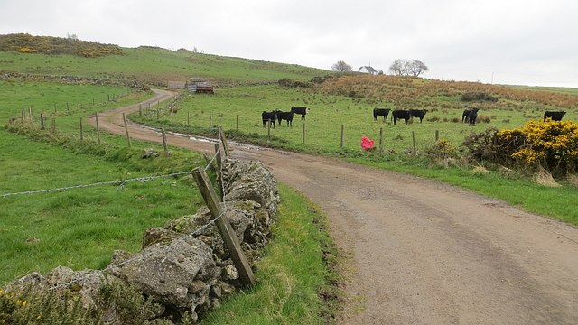
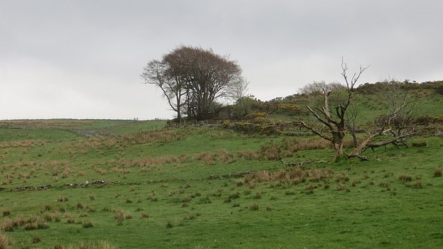
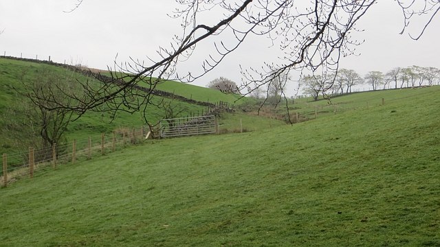
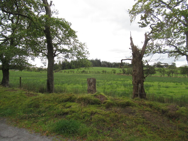
Surrounded by lush greenery and rolling hills, Barcraigs Reservoir offers a tranquil escape for nature enthusiasts and outdoor lovers. The crystal-clear waters of the lake attract a variety of wildlife, making it a popular spot for birdwatching and wildlife observation. Visitors can spot an array of bird species, including herons, ducks, and swans, which frequent the reservoir throughout the year.

The reservoir is also a haven for fishing enthusiasts, with a variety of fish species inhabiting its waters. Anglers can try their luck at catching brown trout, rainbow trout, and perch, among others. A fishing permit is required to fish in the reservoir, which can be obtained from the local authorities.

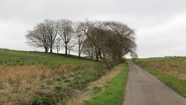
Additionally, Barcraigs Reservoir offers several leisure and recreational activities for visitors. The surrounding area features walking trails that wind through the beautiful countryside, providing stunning views of the reservoir and its surroundings. Picnic areas are available for visitors to relax and enjoy a meal amidst nature.

Overall, Barcraigs Reservoir is a serene and idyllic destination that offers a peaceful retreat for those seeking to connect with nature and enjoy outdoor activities.

If you have any feedback on the listing, please let us know in the comments section below.

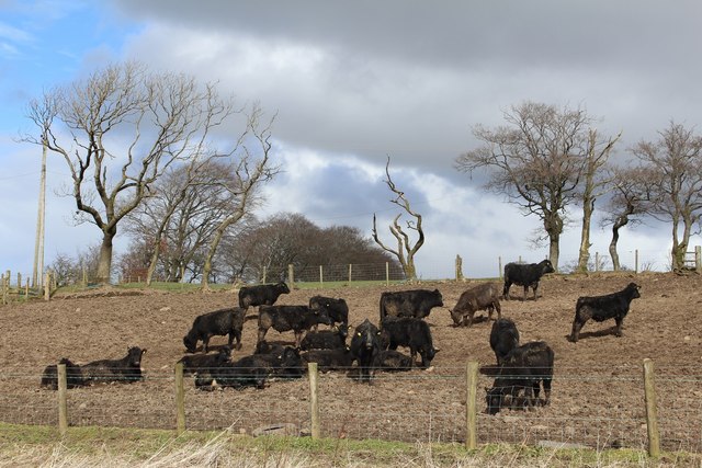
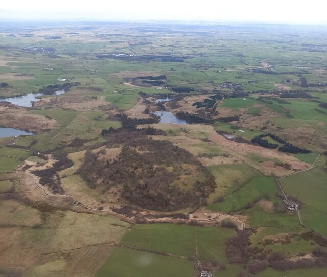
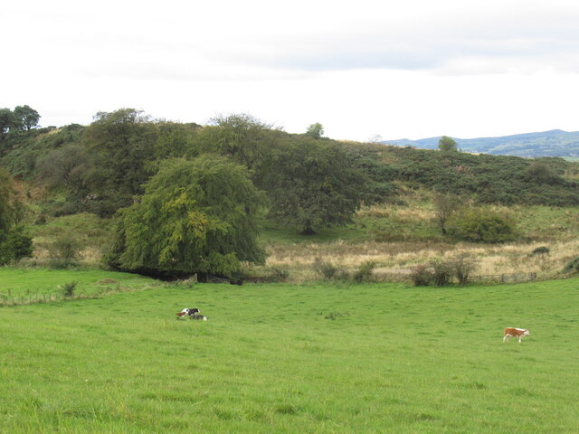
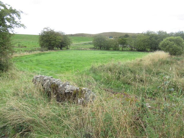
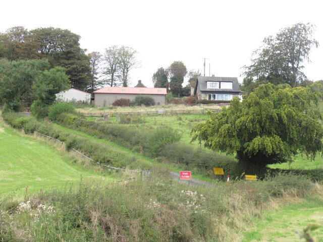
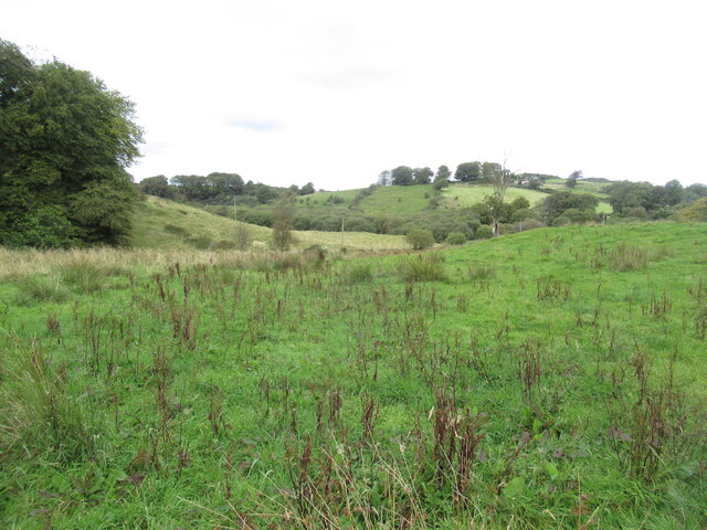
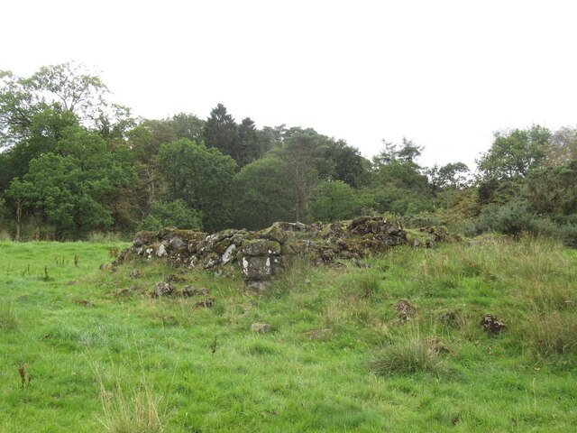
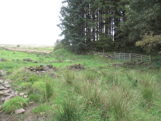
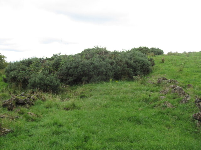
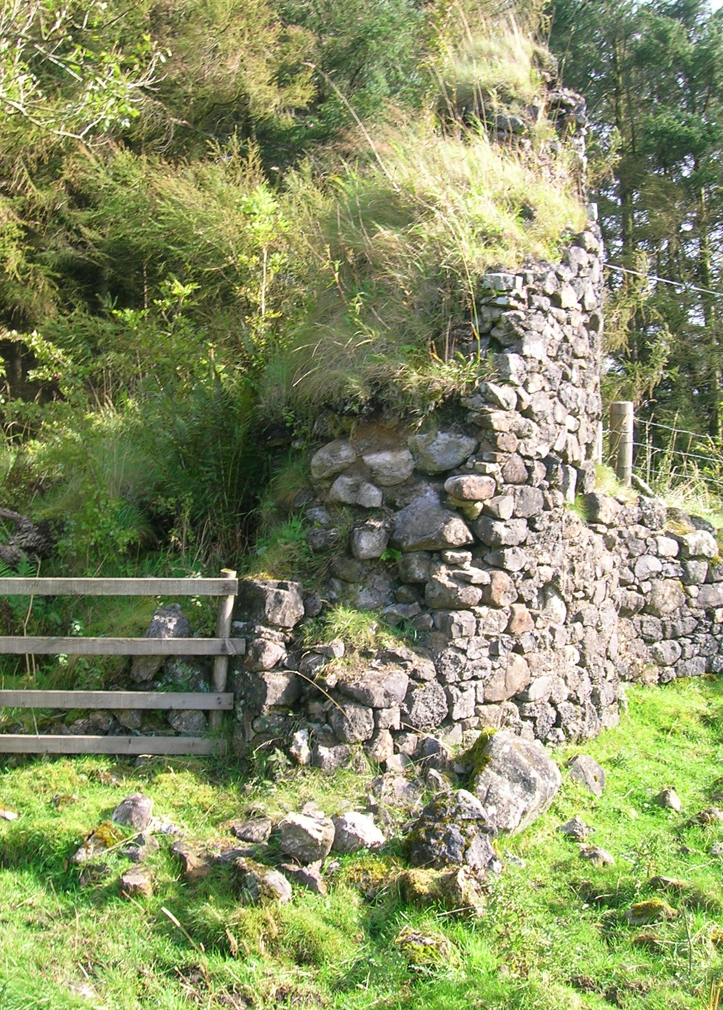
Barcraigs Reservoir Images

Images are sourced within 2km of 55.77883/-4.5705901 or Grid Reference NS3856. Thanks to Geograph Open Source API. All images are credited.

Rough road, Windy Hill One of several dodgy yellow roads around here.
Rough road, Windy Hill
One of several dodgy yellow roads around here.
North of Windy Hill Damp pasture on hills made of igneous rock.
North of Windy Hill
Damp pasture on hills made of igneous rock.
Minor road, Windy Hill Hill top road with a poor surface in places.
Minor road, Windy Hill
Hill top road with a poor surface in places.
Grassland, Rigfoot
Grassland, Rigfoot
Cattle at Rigfoot Farm
Barcraigs Reservoir from the air Built to supply drinking water to the six miles distant town of Paisley, which can be seen in the left distance.
Barcraigs Reservoir from the air
Built to supply drinking water to the six miles distant town of Paisley, which can be seen in the left distance.
Brownmuir Plantation from the air Kirkleegreen Reservoir is beyond the plantation, with parts of Barcraigs Reservoir also visible on the left.
Brownmuir Plantation from the air
Kirkleegreen Reservoir is beyond the plantation, with parts of Barcraigs Reservoir also visible on the left.
Calves and Glenhead Hill
Wet pasture Very much a grassland area, with some fields better drained than others.
Wet pasture
Very much a grassland area, with some fields better drained than others.
Barcraigs Reservoir Very low water levels.
Barcraigs Reservoir
Very low water levels.
Island, Barcraigs Reservoir Low water levels on the reservoir.
Island, Barcraigs Reservoir
Low water levels on the reservoir.
I didn't Half hearted defences on the road to the Barcraigs Dam. They can close off the dam, but not the road some distance away.
I didn't
Half hearted defences on the road to the Barcraigs Dam. They can close off the dam, but not the road some distance away.
Field below Barcraigs Dam
Burnthills Note the road is closed, second of the day.
Burnthills
Note the road is closed, second of the day.
Under Brownmuir Damp grassland
Under Brownmuir
Damp grassland
Ruin near Newmill
Ruin near Newmill
Gate into Brownmuir Plantation The mapped road north of here is now completely overgrown and the mapped boundaries are ruined. It is fine within the wood.
Gate into Brownmuir Plantation
The mapped road north of here is now completely overgrown and the mapped boundaries are ruined. It is fine within the wood.
A lost road Still mapped, but lost to the whins. The bounding dykes are ruined.
A lost road
Still mapped, but lost to the whins. The bounding dykes are ruined.
Show me another place!

Barcraigs Reservoir is located at Grid Ref: NS3856 (Lat: 55.77883, Lng: -4.5705901)

Unitary Authority: Renfrewshire

Police Authority: Renfrewshire and Inverclyde

What 3 Words

///amplifier.salads.hound. Near Howwood, Renfrewshire

Related Wikis

Have you been to Barcraigs Reservoir?

Leave your review of Barcraigs Reservoir below (or comments, questions and feedback).