King's Hill
Hill, Mountain in Ayrshire
Scotland
King's Hill
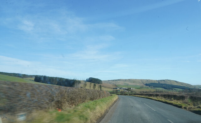
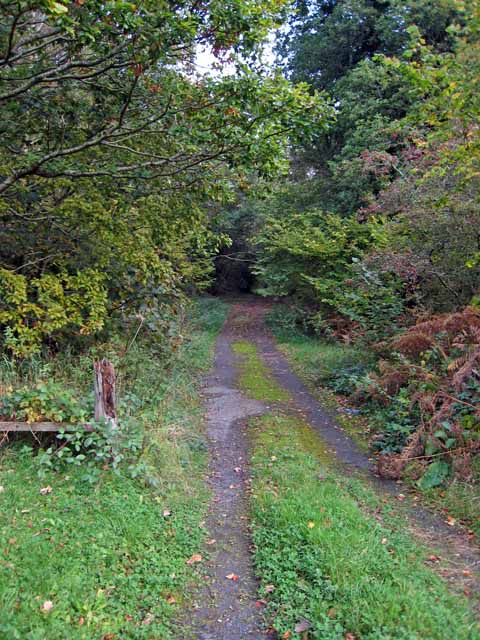
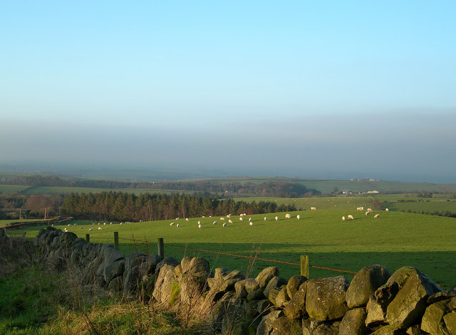
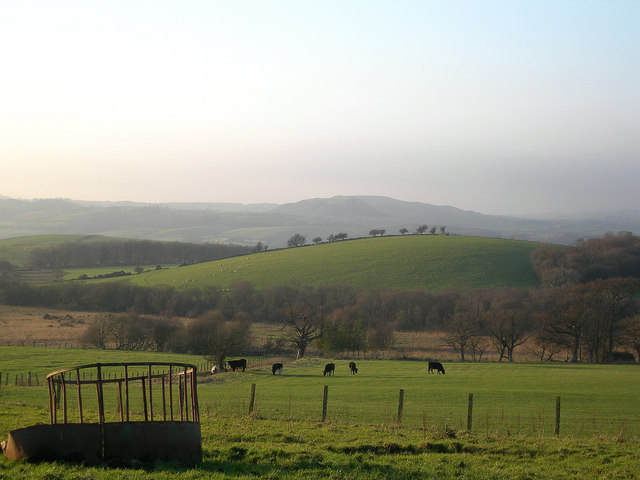
King's Hill, located in Ayrshire, Scotland, is a picturesque hill that offers stunning panoramic views of the surrounding countryside. With an elevation of approximately 396 meters (1,299 feet), it is not classified as a mountain but rather a prominent hill in the area. Situated in the southern part of Ayrshire, King's Hill is part of the Lowther Hills range, which stretches across the region.
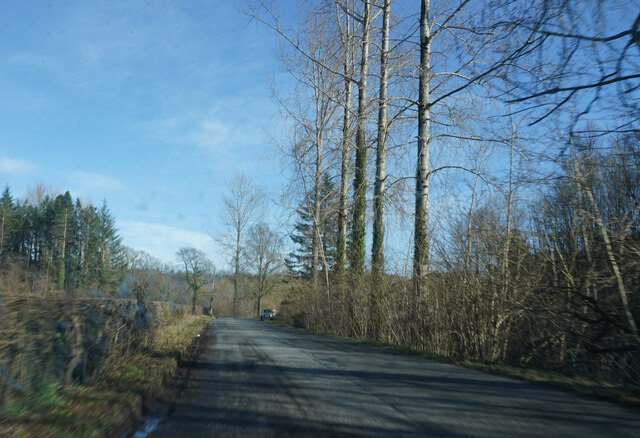
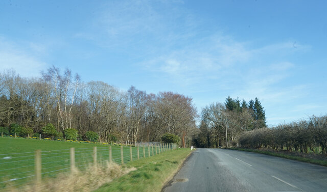
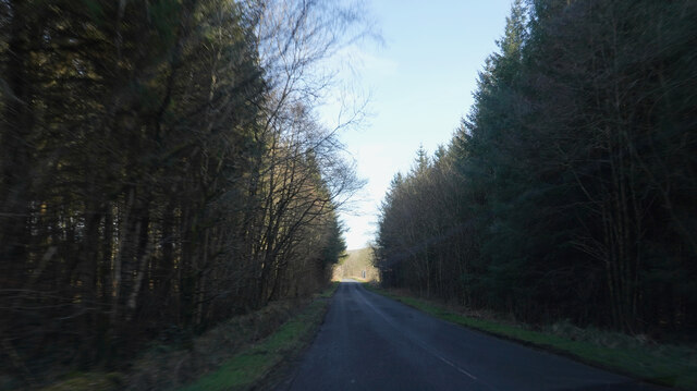
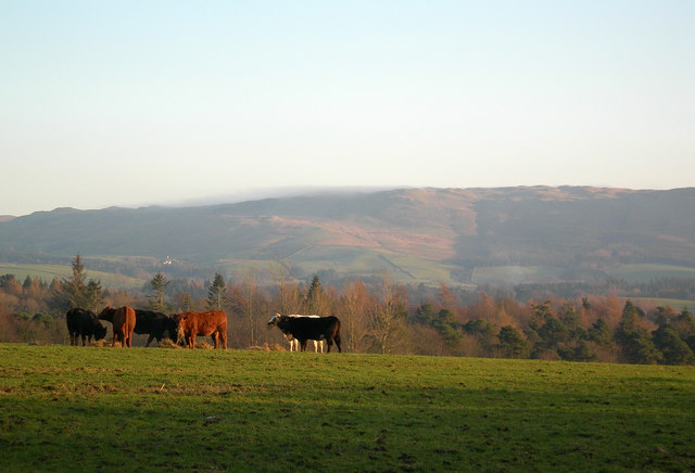
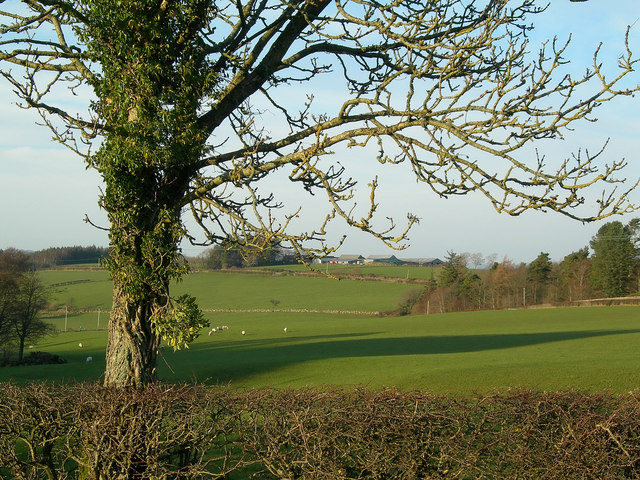
Covered in lush green vegetation, the hill is a popular destination for nature enthusiasts and hikers who enjoy its scenic beauty. The ascent up King's Hill is relatively moderate, making it accessible to a wide range of visitors. Along the way, hikers can appreciate the diverse flora and fauna that inhabit the area, including heather, bracken, and various species of birds.
The highlight of King's Hill is undoubtedly the breathtaking views it offers from its summit. On clear days, visitors can marvel at the spectacular sight of the rolling hills and valleys that stretch out before them. From this vantage point, one can also spot other prominent landmarks in the distance, such as the Isle of Arran and the Firth of Clyde.
In addition to its natural beauty, King's Hill also holds historical significance. It is believed that the hill was once the site of an Iron Age fort, which adds an extra layer of intrigue to the area. Overall, King's Hill in Ayrshire is a captivating destination for nature lovers, history enthusiasts, and anyone seeking tranquility amidst Scotland's stunning landscapes.
If you have any feedback on the listing, please let us know in the comments section below.
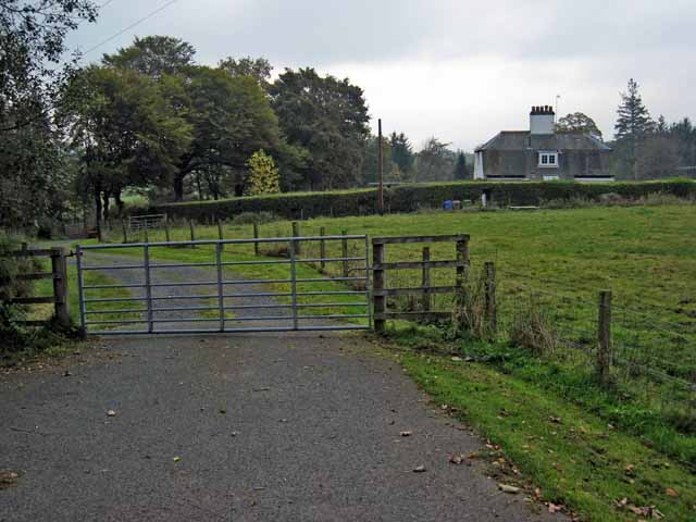
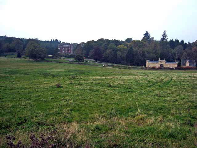
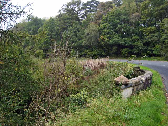
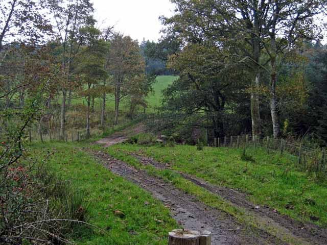
King's Hill Images
Images are sourced within 2km of 55.325579/-4.5783144 or Grid Reference NS3606. Thanks to Geograph Open Source API. All images are credited.
King's Hill is located at Grid Ref: NS3606 (Lat: 55.325579, Lng: -4.5783144)
Unitary Authority: South Ayrshire
Police Authority: Ayrshire
What 3 Words
///fight.cling.quail. Near Patna, East Ayrshire
Nearby Locations
Related Wikis

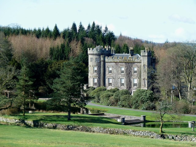
Blairquhan Castle
Blairquhan ( blair-WHAHN, Scots: Blairwhan) is a Regency era castle near Maybole in South Ayrshire, Scotland. It was the historic home of the Hunter-Blair...
Cloncaird Castle
Cloncaird Castle is located near the small village of Kirkmichael, around 6 kilometres (3.7 mi) east of Maybole in South Ayrshire, Scotland. The castle...

Straiton
Straiton is a village on the River Girvan in South Ayrshire in Scotland. It lies in the hills between Kirkmichael, Dalmellington, Crosshill, and Maybole...

Kirkmichael, South Ayrshire
Kirkmichael (Gaelic: Cille Mhìcheil, "the church of St Michael") is a village in South Ayrshire, Scotland, located between Patna, Maybole and Straiton...

Ayr, Carrick and Cumnock (UK Parliament constituency)
Ayr, Carrick, and Cumnock is a county constituency represented in the House of Commons of the Parliament of the United Kingdom. It was created for the...

Crosshill, South Ayrshire
Crosshill is a small village in South Ayrshire, Scotland.Crosshill has a primary school. == References ==

Crosshill railway station (Ayr)
Crosshill railway station served the village of Crosshill, South Ayrshire, Scotland, from 1860 to 1862 on the Maybole and Girvan Railway. == History... ==

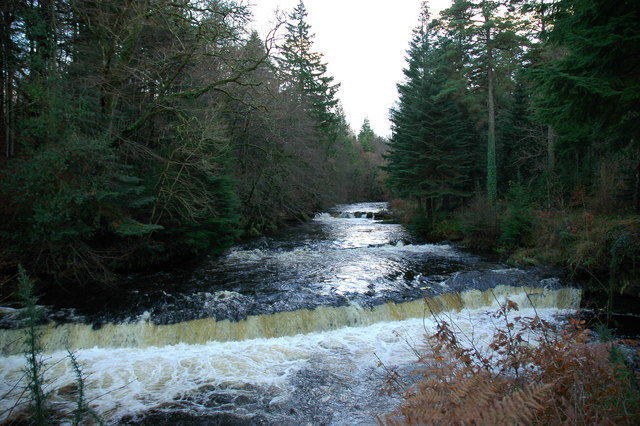
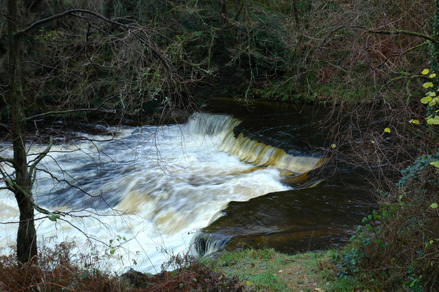
Drunmore Linn
Drunmore Linn is a waterfall of Scotland, near Straiton, South Ayrshire. == See also == Waterfalls of Scotland == References ==
Nearby Amenities
Located within 500m of 55.325579,-4.5783144Have you been to King's Hill?
Leave your review of King's Hill below (or comments, questions and feedback).