Bishopland Wood
Wood, Forest in Ayrshire
Scotland
Bishopland Wood
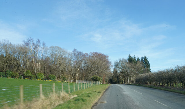
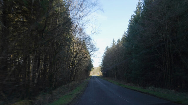
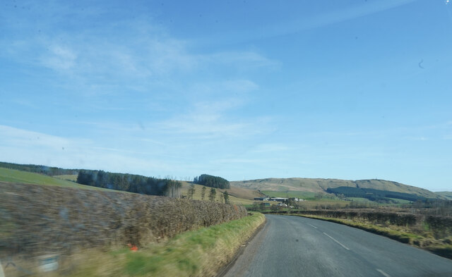
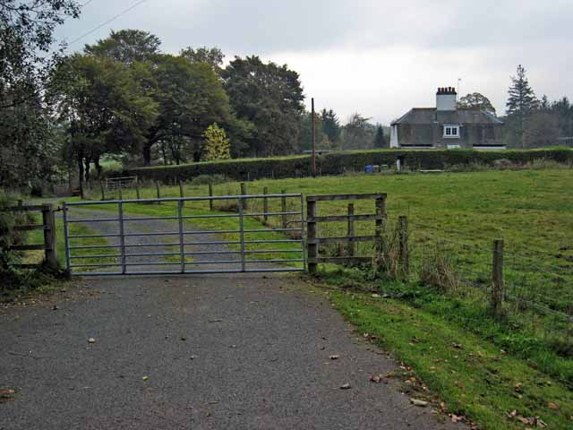
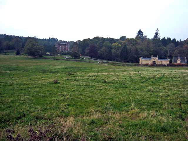
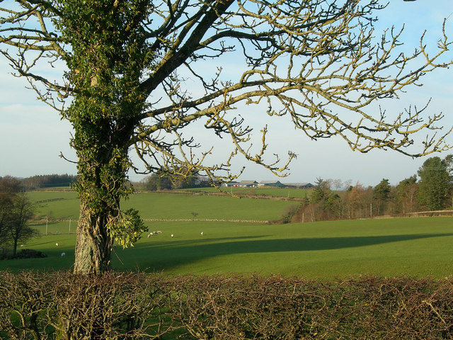
Bishopland Wood is a picturesque woodland located in Ayrshire, Scotland. Covering an area of approximately 100 acres, it is a popular destination for nature enthusiasts, hikers, and dog walkers. The wood is situated just a few miles outside the town of Ayr, making it easily accessible for locals and tourists alike.
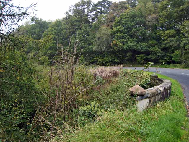
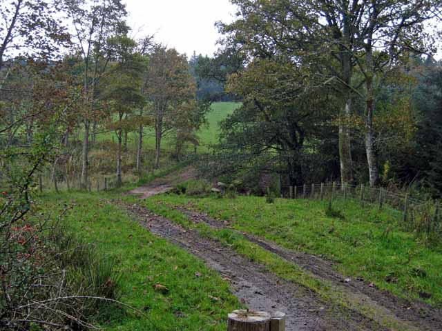
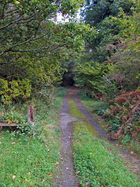
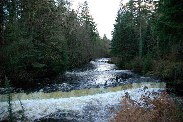
The wood is predominantly composed of broadleaf trees, such as oak, beech, and birch, which provide a rich and diverse habitat for a wide range of plant and animal species. Visitors can enjoy a peaceful stroll along the well-maintained paths that meander through the wood, taking in the beauty of the surrounding flora and fauna.
Bishopland Wood is known for its vibrant display of wildflowers during spring, including bluebells, primroses, and wood anemones. This burst of color adds to the charm and allure of the wood, attracting photographers and nature lovers seeking to capture its beauty.
The wood is home to several species of birds, such as woodpeckers, thrushes, and owls, making it a haven for birdwatchers. Additionally, it provides a habitat for small mammals like squirrels and rabbits, as well as a variety of insects and butterflies.
The management of Bishopland Wood is overseen by the local council, which ensures the preservation and conservation of the natural environment. The wood offers a tranquil escape from the hustle and bustle of everyday life, providing a peaceful retreat for those seeking solace in nature.
If you have any feedback on the listing, please let us know in the comments section below.
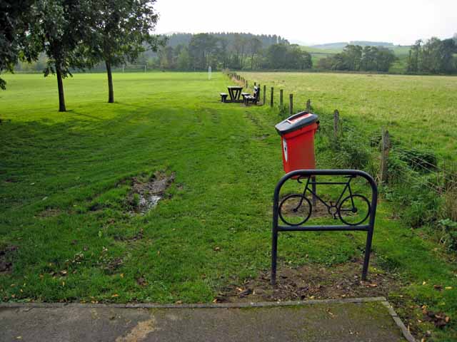
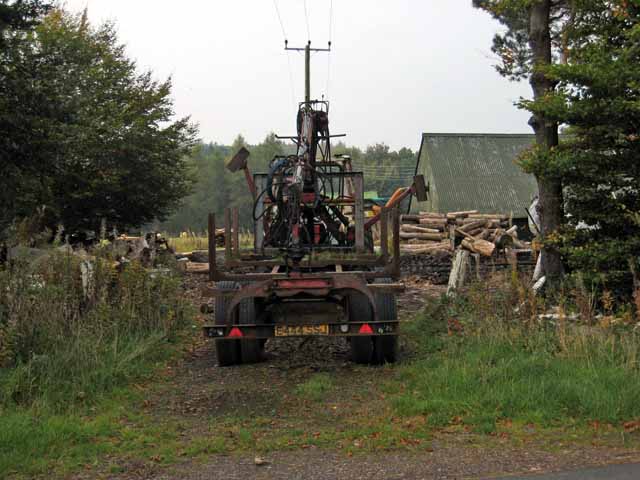
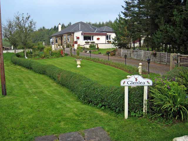
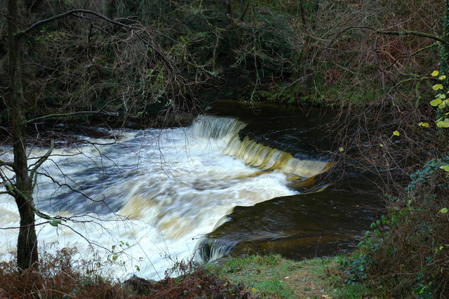
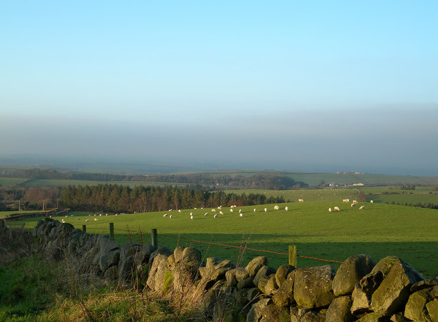
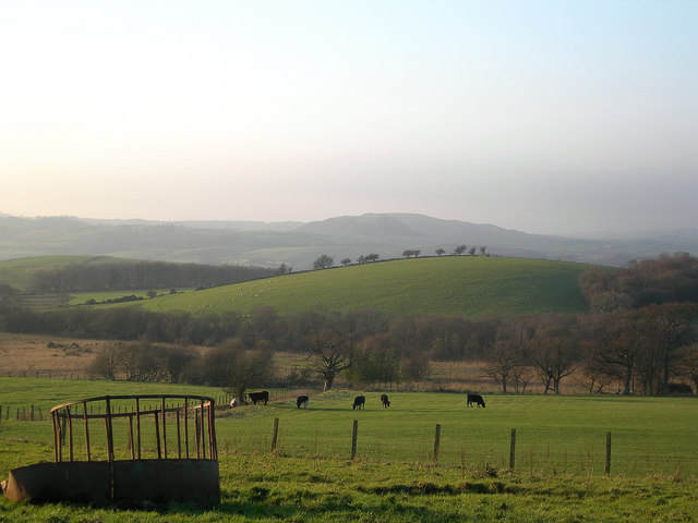
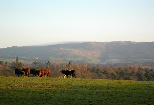
Bishopland Wood Images
Images are sourced within 2km of 55.324456/-4.5782573 or Grid Reference NS3606. Thanks to Geograph Open Source API. All images are credited.

Bishopland Wood is located at Grid Ref: NS3606 (Lat: 55.324456, Lng: -4.5782573)
Unitary Authority: South Ayrshire
Police Authority: Ayrshire
What 3 Words
///divorcing.viewing.addicted. Near Patna, East Ayrshire
Nearby Locations
Related Wikis

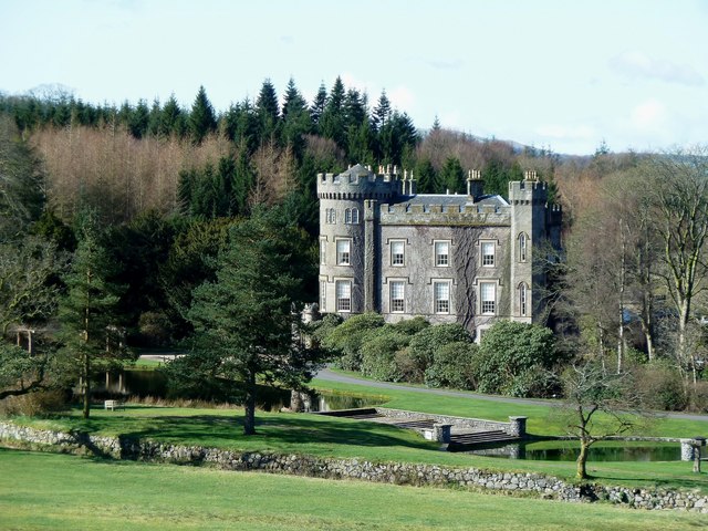
Blairquhan Castle
Blairquhan ( blair-WHAHN, Scots: Blairwhan) is a Regency era castle near Maybole in South Ayrshire, Scotland. It was the historic home of the Hunter-Blair...
Cloncaird Castle
Cloncaird Castle is located near the small village of Kirkmichael, around 6 kilometres (3.7 mi) east of Maybole in South Ayrshire, Scotland. The castle...

Straiton
Straiton is a village on the River Girvan in South Ayrshire in Scotland. It lies in the hills between Kirkmichael, Dalmellington, Crosshill, and Maybole...

Kirkmichael, South Ayrshire
Kirkmichael (Gaelic: Cille Mhìcheil, "the church of St Michael") is a village in South Ayrshire, Scotland, located between Patna, Maybole and Straiton...
Nearby Amenities
Located within 500m of 55.324456,-4.5782573Have you been to Bishopland Wood?
Leave your review of Bishopland Wood below (or comments, questions and feedback).