Barrachan Hill

Hill, Mountain in Wigtownshire

Scotland

Barrachan Hill

Derelict farm buildings at Chilcarroch
Derelict farm buildings at Chilcarroch Credit: Leslie Barrie

Barrachan Hill is a prominent hill located in Wigtownshire, a historical county in the southwest of Scotland. It is situated near the village of Barrachan, approximately 10 miles northeast of the town of Newton Stewart. Rising to an elevation of 315 meters (1,033 feet), it is one of the notable natural landmarks in the region.

Barrachan Hill is characterized by its rounded shape and gentle slopes, covered with a mix of heather and grasses. Its summit offers panoramic views of the surrounding countryside, including the rolling hills and farmland of Wigtownshire. On clear days, it is even possible to catch glimpses of the nearby Galloway Hills and the Irish Sea to the southwest.

The hill is easily accessible to hikers and nature enthusiasts, with various walking routes and paths leading to its summit. The climb is considered moderate in difficulty, making it suitable for individuals of varying fitness levels. Along the way, visitors may encounter diverse wildlife, such as red deer, rabbits, and various species of birds.

Barrachan Hill is also of historical significance, with evidence of prehistoric activity in the area. The remains of ancient forts and cairns have been discovered on its slopes, hinting at the hill's use as a defensive or ceremonial site in the past.

Overall, Barrachan Hill provides an excellent opportunity for outdoor exploration, offering natural beauty, captivating views, and a glimpse into the region's rich history.

If you have any feedback on the listing, please let us know in the comments section below.

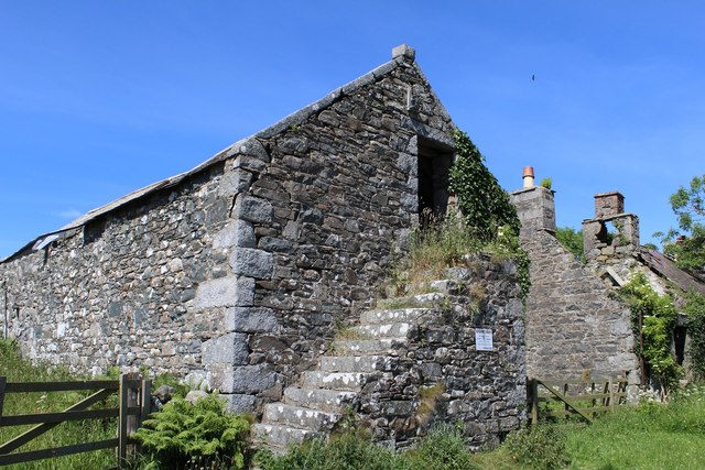
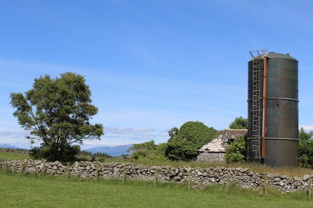
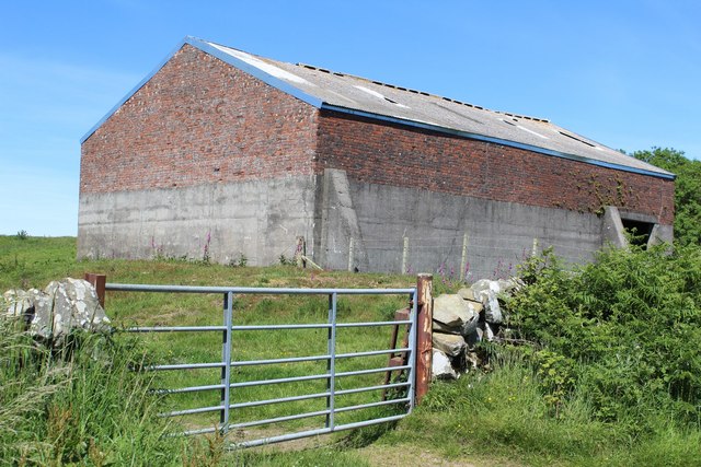
Barrachan Hill Images

Images are sourced within 2km of 54.821142/-4.5498244 or Grid Reference NX3650. Thanks to Geograph Open Source API. All images are credited.

Derelict farm buildings at Chilcarroch
Chilcarroch
Chilcarroch
Shed south of Shaw Hill
Barrachan Village
Barrachan Village
Skate Farm Road
Skate Farm Road
Barn near Chilcarroch
Ruined cothouse near Chilcarroch
Chilcarroch The "Chilcarroch Plough" was found in a barn on this farm in the 1950s and can be seen in Stranraer museum. It is famous as the only complete example in Scotland of an old Scotch plough.  These heavy wooden ploughs were in common use until the end of the 18th century.  They were pulled by a team of oxen or a mix of oxen and horses.  The number of animals depended on the type of ground being worked but a plough team of eight oxen was quite common. The plough was first used at Chilcarroch in 1793.  It was later used at the farms of Culbae and High Elrig.  See: <span class="nowrap"><a title="http://www.futuremuseum.co.uk/Default.aspx?Id=221&mode=object&item=2414" rel="nofollow ugc noopener" href="http://www.futuremuseum.co.uk/Default.aspx?Id=221&mode=object&item=2414">Link</a><img style="margin-left:2px;" alt="External link" title="External link - shift click to open in new window" src="https://s1.geograph.org.uk/img/external.png" width="10" height="10"/></span>
Chilcarroch
The "Chilcarroch Plough" was found in a barn on this farm in the 1950s and can be seen in Stranraer museum. It is famous as the only complete example in Scotland of an old Scotch plough. These heavy wooden ploughs were in common use until the end of the 18th century. They were pulled by a team of oxen or a mix of oxen and horses. The number of animals depended on the type of ground being worked but a plough team of eight oxen was quite common. The plough was first used at Chilcarroch in 1793. It was later used at the farms of Culbae and High Elrig. See: LinkExternal link
Chilcarroch Loch ...can just be glimpsed between the bushes glinting in the glow of evening sunshine.
Chilcarroch Loch
...can just be glimpsed between the bushes glinting in the glow of evening sunshine.
South Kildarroch View from the fields at the back of the farm.
South Kildarroch
View from the fields at the back of the farm.
South Kildarroch View north towards the Galloway Hills.
South Kildarroch
View north towards the Galloway Hills.
Carseduchan View southwards from a track that runs from the back of South Kildarroch across several fields
Carseduchan
View southwards from a track that runs from the back of South Kildarroch across several fields
South Kildarroch View along this overgrown farm track which crosses several fields.
South Kildarroch
View along this overgrown farm track which crosses several fields.
South Kildarroch View towards the west from the farm track.
South Kildarroch
View towards the west from the farm track.
South Kildarroch View across farmland towards West Kildarroch Farm.
South Kildarroch
View across farmland towards West Kildarroch Farm.
South Kildarroch View northwards towards Black's Plantation.
South Kildarroch
View northwards towards Black's Plantation.
South Kildarroch View from the farm track across towards East Kildarroch Farm.
South Kildarroch
View from the farm track across towards East Kildarroch Farm.
South Kildarroch View west along the farm track.
South Kildarroch
View west along the farm track.
Show me another place!

Barrachan Hill is located at Grid Ref: NX3650 (Lat: 54.821142, Lng: -4.5498244)

Unitary Authority: Dumfries and Galloway

Police Authority: Dumfries and Galloway

What 3 Words

///litigate.taxi.fittingly. Near Whithorn, Dumfries & Galloway

Related Wikis

Mochrum

Mochrum () is a coastal civil and Church of Scotland parish situated to the east of Luce Bay on the Machars peninsula and 8 miles (13 km) southwest of...

Whauphill railway station

Whauphill (NX 40462 49887) was a railway station on the Wigtownshire Railway branch line, from Newton Stewart to Whithorn, of the Portpatrick and Wigtownshire...

Whauphill

Whauphill is a small village located in the historical county of Wigtownshire in the Machars, Dumfries and Galloway, Scotland.Whauphill is a hub that supports...

Elrig

Elrig (Scottish Gaelic: An Eileirg, meaning "the deer run") is a clachan or hamlet in the historical county of Wigtownshire in Dumfries and Galloway...

Nearby Amenities

Located within 500m of 54.821142,-4.5498244
Place: farm
Lat/Long: 54.8201283/-4.547937
Power: pole
Lat/Long: 54.81938/-4.5443338
Power: pole
Lat/Long: 54.8195225/-4.5454346
Power: pole
Lat/Long: 54.8196629/-4.5464875
Power: pole
Lat/Long: 54.8197932/-4.5475308
Power: pole
Lat/Long: 54.8218805/-4.5422012
Power: pole
Lat/Long: 54.8213645/-4.5424869
Power: pole
Lat/Long: 54.820917/-4.5426461
Power: pole
Lat/Long: 54.8204695/-4.5431313
The data included in this document is from www.openstreetmap.org. The data is made available under ODbL.

Have you been to Barrachan Hill?

Leave your review of Barrachan Hill below (or comments, questions and feedback).