Boat Hill

Hill, Mountain in Wigtownshire

Scotland

Boat Hill

Old milestone Another of the Wigtownshire style milestones that has had vegetation cleared from around it and a new coat of paint with the work done by a Milestone Society member.  The G is for Glen Luce with W (for Wigtown), an arrow pointing right and 5 on the left hand face.
Old milestone Credit: Jacqueline Crowther

Boat Hill, located in Wigtownshire, is a prominent hill in southwestern Scotland. Rising to an elevation of approximately 265 meters (869 feet), it offers stunning panoramic views of the surrounding countryside and the Solway Firth. The hill is situated about 2.5 kilometers (1.5 miles) southeast of the village of Whithorn, making it easily accessible for visitors.

Boat Hill is characterized by its gently sloping terrain, covered in lush green grass and scattered with rocky outcrops. It is primarily composed of sedimentary rocks, formed during the Devonian period, which adds to its geological significance. The hill's location close to the coast provides a unique blend of coastal and inland landscapes, resulting in a diverse range of flora and fauna.

The summit of Boat Hill is marked by a trig point, offering a convenient spot for hikers and nature enthusiasts to take a break and admire the breathtaking vistas. On clear days, one can see as far as the Isle of Man and the Galloway Hills in the distance. The hill is a popular destination for walkers and photographers, with several footpaths leading to its peak.

Boat Hill not only offers striking natural beauty but also holds historical significance. Close to its base lies the site of St. Ninian's Chapel, an ancient Christian settlement dating back to the 5th century. The chapel's ruins provide a glimpse into the region's early religious history, adding an extra layer of intrigue to this already captivating hill.

In summary, Boat Hill in Wigtownshire is a picturesque and historically significant hill, offering awe-inspiring views and a tranquil escape for nature lovers and history enthusiasts alike.

If you have any feedback on the listing, please let us know in the comments section below.
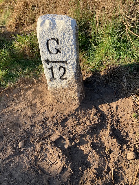
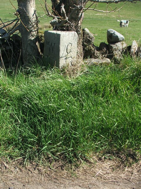
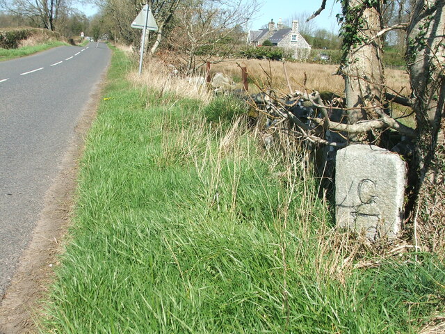
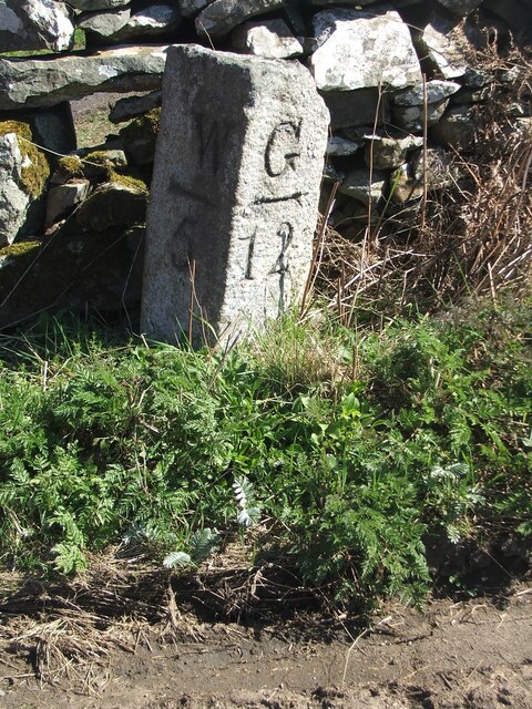
Boat Hill Images

Images are sourced within 2km of 54.888628/-4.5539476 or Grid Reference NX3657. Thanks to Geograph Open Source API. All images are credited.

Old milestone Another of the Wigtownshire style milestones that has had vegetation cleared from around it and a new coat of paint with the work done by a Milestone Society member.  The G is for Glen Luce with W (for Wigtown), an arrow pointing right and 5 on the left hand face.
Old milestone
Another of the Wigtownshire style milestones that has had vegetation cleared from around it and a new coat of paint with the work done by a Milestone Society member. The G is for Glen Luce with W (for Wigtown), an arrow pointing right and 5 on the left hand face.
Old milestone This milestone, 4 miles from Wigtown, can just be spotted beneath the double-trunked tree.   Glenluce is 13 miles to the north west.   Hopfully that isn't unlucky for this milestone.
Old milestone
This milestone, 4 miles from Wigtown, can just be spotted beneath the double-trunked tree. Glenluce is 13 miles to the north west. Hopfully that isn't unlucky for this milestone.
Old milestone The milestone is about 100m south east of Duddingstone Lodge with Grange of Bladnoch just out of sight down the dip in the road.
Old milestone
The milestone is about 100m south east of Duddingstone Lodge with Grange of Bladnoch just out of sight down the dip in the road.
Old milestone This is the milestone on the B733 just north of the B7052 junction.   The previous photograph   <a href="https://www.geograph.org.uk/photo/7447528">NX3558 : Old milestone</a> was wrongly identified and is the milestone on the A747, 2 miles north of Port William.
Old milestone
This is the milestone on the B733 just north of the B7052 junction. The previous photograph NX3558 : Old milestone was wrongly identified and is the milestone on the A747, 2 miles north of Port William.
Old milestone Not much has changed since 2008.  The field gate is the same and the lichen encrusted wall still survives.   The mason didn't bother too much about the top and back of this milestone.
Old milestone
Not much has changed since 2008. The field gate is the same and the lichen encrusted wall still survives. The mason didn't bother too much about the top and back of this milestone.
Farmland at Torhousekie
Farm Track at Torhousekie
Farmland at Torhousekie
The Grange Burn
The Grange Burn
The Grange Burn
The Grange Burn
Farmland at Torhousekie
Outnumbered
Outnumbered
Farmland at Torhousekie
Torhousekie Farm
Torhousekie Farm
Farmland at Knockmononday
Torhousekie Farm
Torhousekie Farm
Farmland at Torhousekie Steading
Farmland at Knockmononday With a view to the River Bladnoch, you can just see the river.
Farmland at Knockmononday
With a view to the River Bladnoch, you can just see the river.
Show me another place!

Boat Hill is located at Grid Ref: NX3657 (Lat: 54.888628, Lng: -4.5539476)

Unitary Authority: Dumfries and Galloway

Police Authority: Dumfries and Galloway

What 3 Words

///parkland.hawks.blindfold. Near Newton Stewart, Dumfries & Galloway

Related Wikis

Torhouse

The Standing Stones of Torhouse (also Torhousekie) are a stone circle of nineteen granite boulders on the land of Torhouse, three miles west of Wigtown...

Kirkcowan

Kirkcowan is an area about 15 miles in length, and from nearly two to nearly seven miles in breadth, comprising 30,580 acres, of which 7000 are arable...

Kirkcowan railway station

Kirkcowan railway station served the village of Kirkcowan, Dumfries and Galloway, Scotland from 1861 to 1965 on the Portpatrick and Wigtownshire Joint...

Mains of Penninghame Platform railway station

Mains of Penninghame Platform railway station (NX410617) was a halt on the Wigtownshire Railway branch line, from Newton Stewart to Whithorn, of the Portpatrick...

Nearby Amenities

Located within 500m of 54.888628,-4.5539476
Power: pole
Lat/Long: 54.8884796/-4.5571469
Power: pole
Lat/Long: 54.8885579/-4.5566847
Power: pole
Lat/Long: 54.8886792/-4.5559904
Power: pole
Lat/Long: 54.8888039/-4.555323
Power: pole
Lat/Long: 54.8889296/-4.5546384
Power: pole
Lat/Long: 54.8890576/-4.5539537
Power: pole
Lat/Long: 54.8891293/-4.5535644
Power: pole
Lat/Long: 54.888912/-4.5530063
Power: pole
Lat/Long: 54.8887421/-4.5525728
Power: pole
Lat/Long: 54.8885105/-4.5518978
Power: pole
Lat/Long: 54.8922387/-4.5522928
Power: pole
Lat/Long: 54.891792/-4.5528318
Power: pole
Lat/Long: 54.8913376/-4.5534014
Power: pole
Lat/Long: 54.8908853/-4.5539364
Power: pole
Lat/Long: 54.8902235/-4.5547496
Power: pole
Lat/Long: 54.8895893/-4.5543219
Power: pole
Lat/Long: 54.8843737/-4.5529737
Power: pole
Lat/Long: 54.8847962/-4.552592
Power: pole
Lat/Long: 54.8854427/-4.5521854
Power: pole
Lat/Long: 54.8862866/-4.5516887
Power: pole
Lat/Long: 54.8867025/-4.5520569
Power: pole
Lat/Long: 54.8871338/-4.5524386
Power: pole
Lat/Long: 54.8878685/-4.5530715
Power: pole
Lat/Long: 54.8883522/-4.5535088
Power: pole
Lat/Long: 54.884356/-4.5518095
Power: pole
Lat/Long: 54.8867058/-4.5537408
Power: pole
Lat/Long: 54.8917849/-4.559065
Power: pole
Lat/Long: 54.8914119/-4.5580445
Power: pole
Lat/Long: 54.8909654/-4.5567822
Power: pole
Lat/Long: 54.8906458/-4.5559035
The data included in this document is from www.openstreetmap.org. The data is made available under ODbL.

Have you been to Boat Hill?

Leave your review of Boat Hill below (or comments, questions and feedback).