Balnagask
Settlement in Kincardineshire
Scotland
Balnagask
Balnagask is a small coastal village located in Kincardineshire, Scotland. Situated on the eastern coast of the country, it lies about 3 miles south of the city of Aberdeen. The village is nestled between Torry and Girdleness, offering picturesque views of the North Sea.
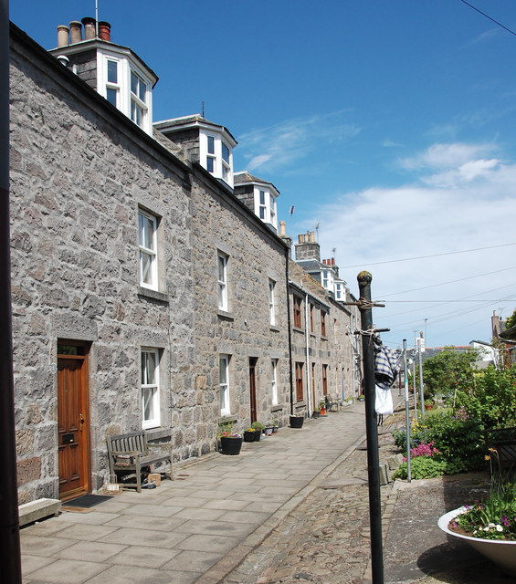
Balnagask is primarily a residential area characterized by rows of charming houses and cottages. The village has a rich history, dating back to the 19th century when it was established as a fishing community. In its early years, Balnagask thrived on the fishing industry, with locals heavily relying on the sea for their livelihoods.
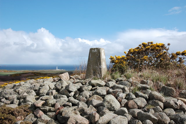
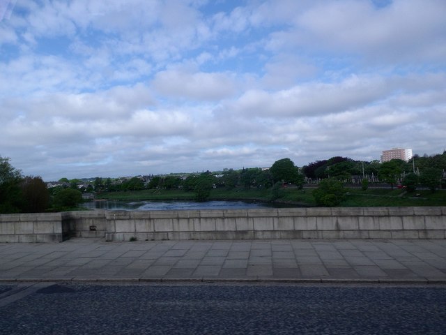
Today, while the fishing industry has diminished, Balnagask has retained its coastal charm, attracting residents and visitors with its serene atmosphere and scenic beauty. The village is known for its stunning coastal walks, where one can enjoy breathtaking views of the sea and spot various wildlife, including seabirds.
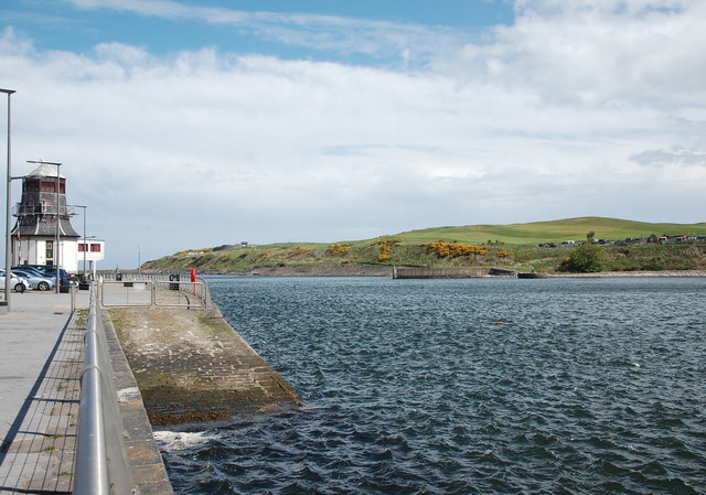
Moreover, Balnagask is in close proximity to several notable landmarks, such as the iconic Girdleness Lighthouse, which stands proudly on the nearby cliffs. Additionally, the village is within easy reach of Aberdeen's amenities, including shops, restaurants, and cultural attractions.
Balnagask offers a peaceful and idyllic lifestyle, making it an attractive place to reside for those seeking a coastal retreat. Whether it's for a leisurely stroll along the shore or immersing oneself in the beauty of nature, Balnagask provides a welcoming and picturesque setting for residents and visitors alike.
If you have any feedback on the listing, please let us know in the comments section below.
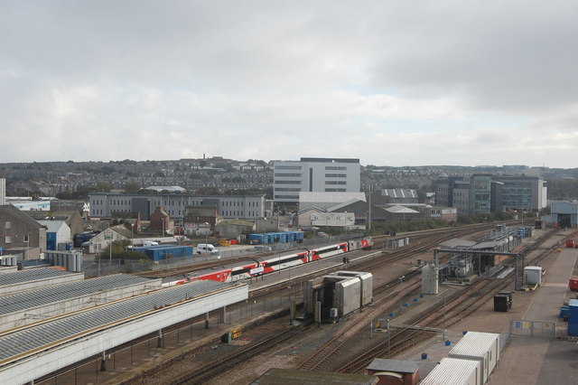
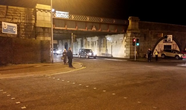
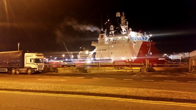
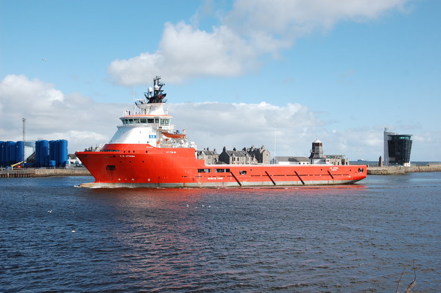
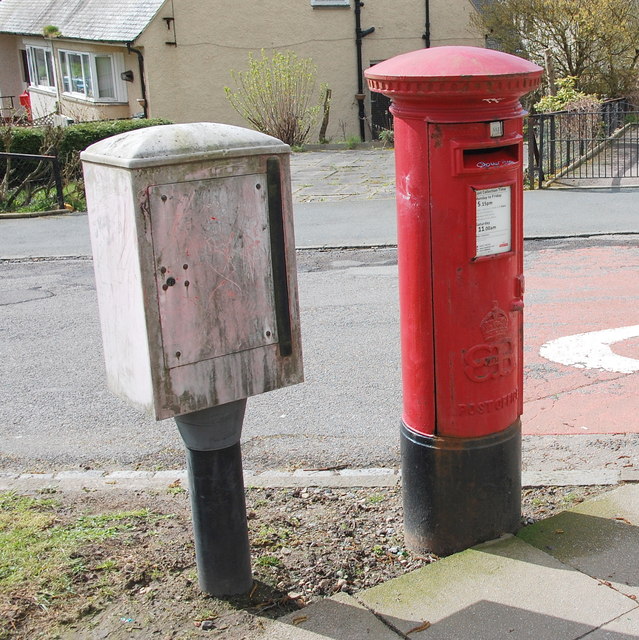
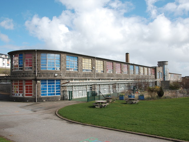
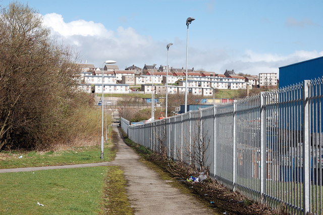
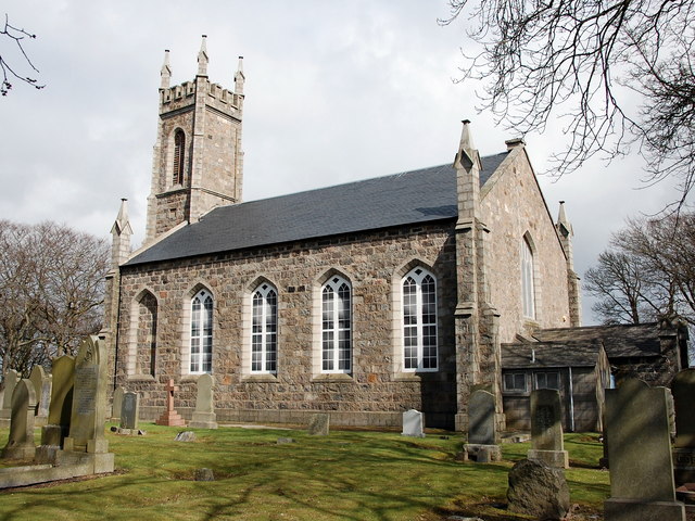
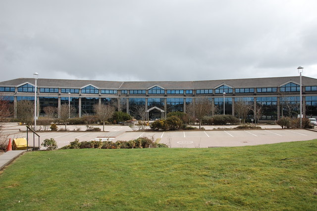
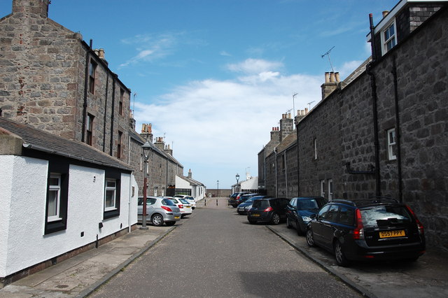
Balnagask Images
Images are sourced within 2km of 57.126897/-2.0842207 or Grid Reference NJ9504. Thanks to Geograph Open Source API. All images are credited.


Balnagask is located at Grid Ref: NJ9504 (Lat: 57.126897, Lng: -2.0842207)
Unitary Authority: City of Aberdeen
Police Authority: North East
What 3 Words
///trunk.senses.envy. Near Aberdeen
Nearby Locations
Related Wikis
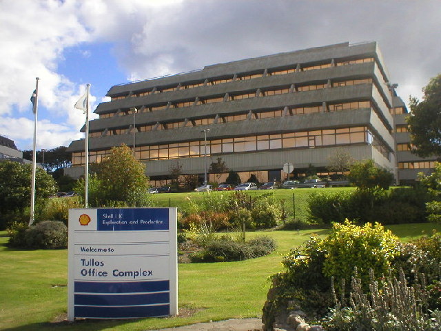
Tullos
Tullos is an area of Aberdeen, Scotland. The area takes its name from the Vale of Tullos, which lies between Tullos Hill and Torry Hill. Tullos derived...

NESS Energy Project
The NESS Energy Project is an incinerator currently under construction in Aberdeen, UK. It is situated in East Tullos Industrial Estate on a site formerly...
Original 106 (radio station)
Original 106 is an Independent Local Radio station owned by DC Thomson and broadcasting to Aberdeenshire and the cities of Aberdeen, Dundee and Perth in...
Banks O' Dee F.C.
Banks o' Dee Football Club is a Scottish football club from the city of Aberdeen that plays in the Scottish Highland Football League. Their home ground...
Nearby Amenities
Located within 500m of 57.126897,-2.0842207Have you been to Balnagask?
Leave your review of Balnagask below (or comments, questions and feedback).