Tullos Cairn
Heritage Site in Kincardineshire
Scotland
Tullos Cairn
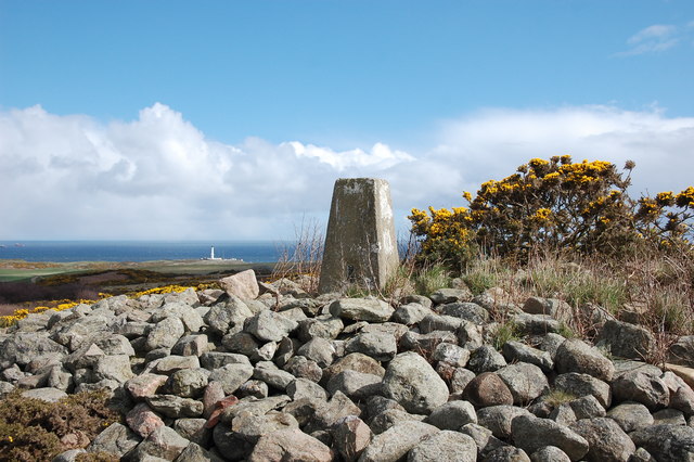
Tullos Cairn is a significant heritage site located in Kincardineshire, Scotland. This ancient burial cairn is situated on a hilltop, offering panoramic views of the surrounding countryside. It is believed to date back to the Neolithic period, approximately 4,000 to 2,500 BCE, making it over 4,000 years old.
The cairn itself is a large mound of stones and earth, covering a burial chamber underneath. It measures around 25 meters in diameter and 3 meters in height. The original structure is thought to have been much taller, but erosion and human activity have reduced its size over the centuries.
Excavations carried out in the 19th and 20th centuries revealed the presence of human remains, pottery fragments, and various artifacts within the burial chamber. These findings have provided valuable insights into the funerary practices and lifestyle of the people who lived in the area during the Neolithic period.
Tullos Cairn is surrounded by a rich archaeological landscape, with other ancient sites nearby, including standing stones and stone circles. It is believed that this area held significant religious and ceremonial importance to the prehistoric communities who inhabited it.
Today, Tullos Cairn is protected as a scheduled monument and is open to the public. Visitors can explore the site, learn about its history through interpretive displays, and enjoy the stunning views from the hilltop. It serves as a reminder of Scotland's ancient past and the people who once called this land home.
If you have any feedback on the listing, please let us know in the comments section below.
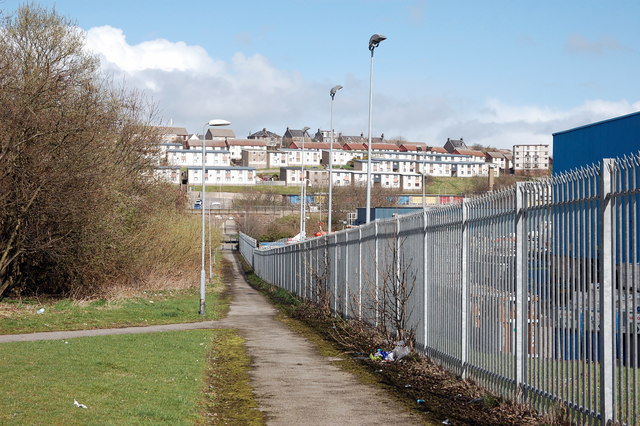
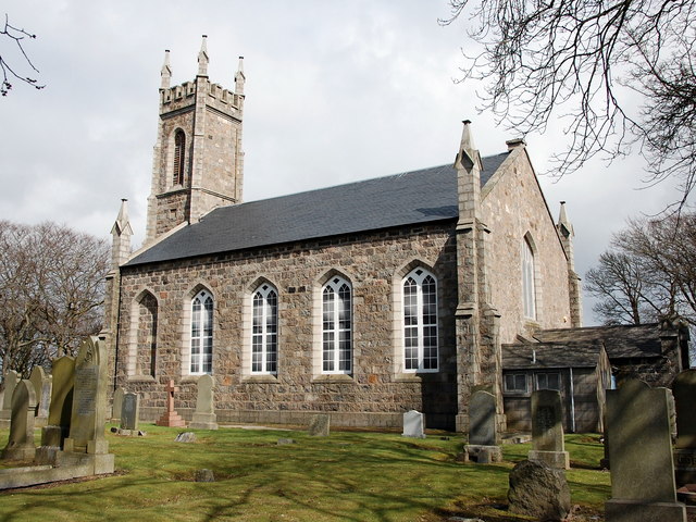
Tullos Cairn Images
Images are sourced within 2km of 57.132/-2.073 or Grid Reference NJ9504. Thanks to Geograph Open Source API. All images are credited.


Tullos Cairn is located at Grid Ref: NJ9504 (Lat: 57.132, Lng: -2.073)
Unitary Authority: City of Aberdeen
Police Authority: North East
What 3 Words
///thinks.rocky.branded. Near Aberdeen
Nearby Locations
Related Wikis
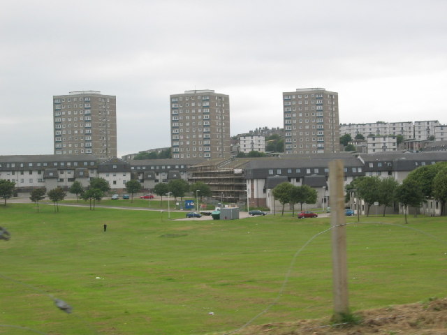
Balnagask
Balnagask is an area of Torry, a burgh of Aberdeen in Scotland. Balnagask is said to mean "the village in the hollow" in Gaelic. The Balnagask Estate...

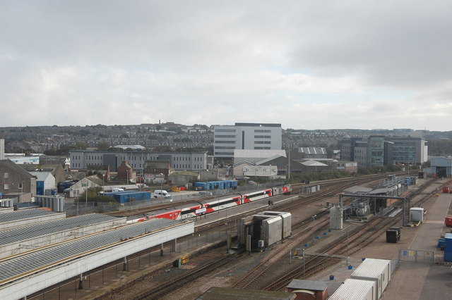
NESS Energy Project
The NESS Energy Project is an incinerator currently under construction in Aberdeen, UK. It is situated in East Tullos Industrial Estate on a site formerly...

Torry
Torry is an area within Aberdeen, Scotland. == Origin == People have been living in Torry since at least the 12th century. The place name first appears...

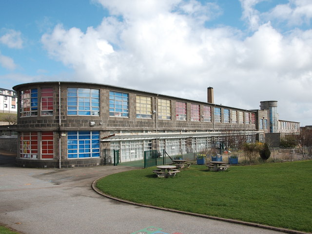
Torry Academy
Torry Academy was a secondary school in Torry, Aberdeen, run by Aberdeen City Council. The original school was built in 1927 and added to in 1947, creating...
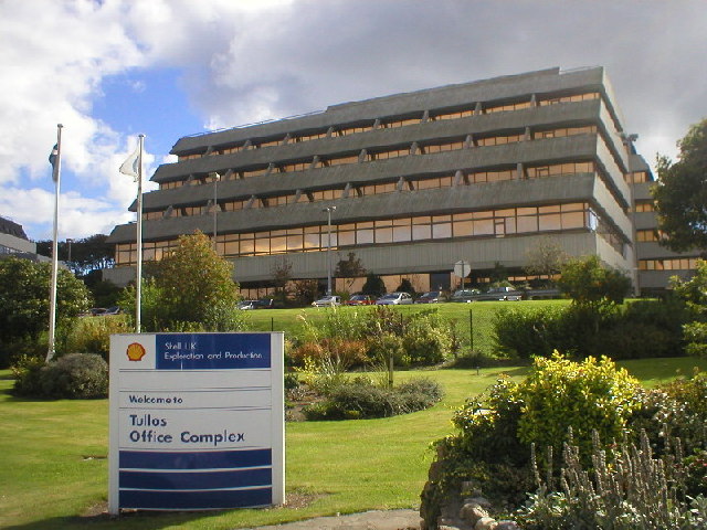
Tullos
Tullos is an area of Aberdeen, Scotland. The area takes its name from the Vale of Tullos, which lies between Tullos Hill and Torry Hill. Tullos derived...

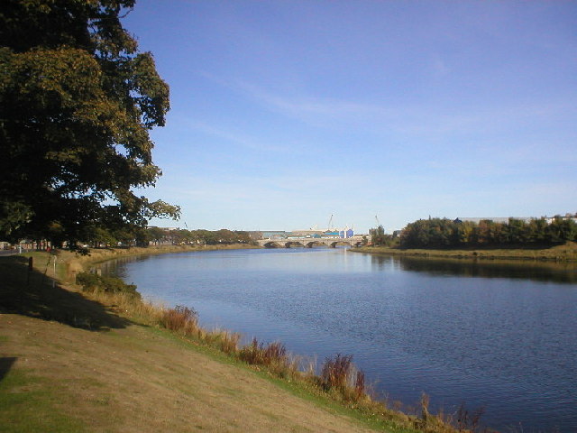
River Dee, Aberdeenshire
The River Dee (Scottish Gaelic: Uisge Dhè) is a river in Aberdeenshire, Scotland. It rises in the Cairngorms and flows through southern Aberdeenshire to...
River Dee ferryboat disaster
The River Dee Ferry Boat Disaster occurred on 5 April 1876. Thirty two people drowned in the mouth of the River Dee, Aberdeenshire, Scotland when their...
HM Prison Aberdeen
HM Prison Aberdeen (formerly known as Craiginches) was a medium-security prison, located in the city of Aberdeen, Scotland. The prison was managed by the...
Nearby Amenities
Located within 500m of 57.132,-2.073Have you been to Tullos Cairn?
Leave your review of Tullos Cairn below (or comments, questions and feedback).