Balnadelson

Settlement in Sutherland

Scotland

Balnadelson

Frosty Fields at Saval, near Lairg, Sutherland
Frosty Fields at Saval, near Lairg, Sutherland Credit: Andrew Tryon

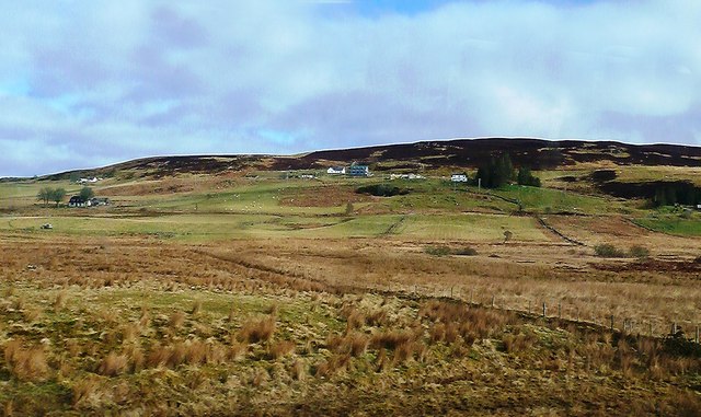
Balnadelson is a small village located in the county of Sutherland, in the northern part of Scotland. It is situated in a rural area, surrounded by rolling hills, beautiful landscapes, and a peaceful atmosphere. The village is part of the Highland region and lies approximately 8 miles north of the town of Lairg.

With a population of around 150 residents, Balnadelson is a close-knit community that offers a tranquil and idyllic lifestyle. The village is primarily residential, with a scattering of traditional cottages and houses. The locals are known for their warm and friendly nature, creating a welcoming environment for visitors.

Despite its small size, Balnadelson has a few amenities to cater to the needs of its residents. The village has a local shop, providing essential groceries and basic supplies. Additionally, there is a community hall that serves as a gathering place for various events and social activities.

The surrounding countryside offers ample opportunities for outdoor enthusiasts. Nature lovers can explore the nearby hills and glens, taking in breathtaking views and enjoying activities like hiking, cycling, and birdwatching. The area is also known for its fishing opportunities, with several rivers and lochs in the vicinity.

Although Balnadelson may be a quiet and remote village, it benefits from its proximity to larger towns, such as Lairg, which has a wider range of amenities, including schools, healthcare facilities, and shops. Overall, Balnadelson provides a peaceful retreat in the heart of the Scottish Highlands, where residents and visitors can enjoy the serenity of rural living.

If you have any feedback on the listing, please let us know in the comments section below.
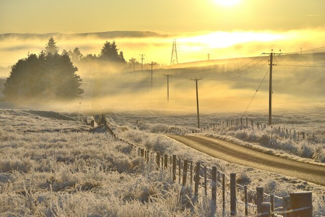
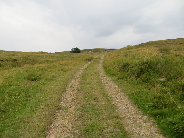
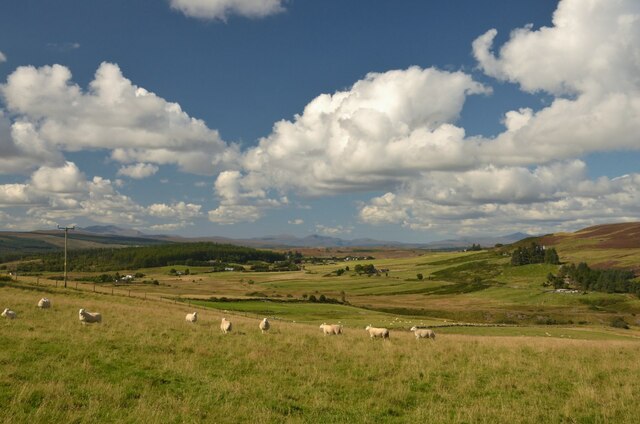
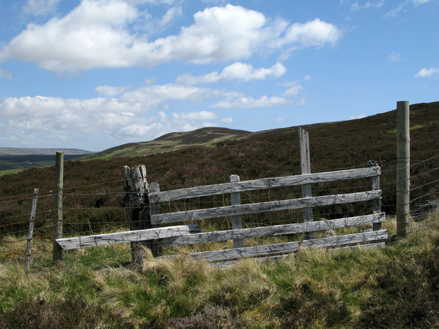
Balnadelson Images

Images are sourced within 2km of 58.022234/-4.37117 or Grid Reference NC6006. Thanks to Geograph Open Source API. All images are credited.

Frosty Fields at Saval, near Lairg, Sutherland
Hillside track giving access to a covered reservoir and Carn Liath Looking eastward.
Hillside track giving access to a covered reservoir and Carn Liath
Looking eastward.
Minor road at Tomich Looking westward.
Minor road at Tomich
Looking westward.
Minor road near to Tomich Looking north-eastward.
Minor road near to Tomich
Looking north-eastward.
Minor road near to Tomich Looking north-eastward.
Minor road near to Tomich
Looking north-eastward.
Providing you or your vehicle is less than 7 feet high you can continue along the minor under the bridge Looking north-westward. The Inverness to Wick railway line uses the top of the bridge.
Providing you or your vehicle is less than 7 feet high you can continue along the minor under the bridge
Looking north-westward. The Inverness to Wick railway line uses the top of the bridge.
Summer Pastures at Tomich, Lairg, Sutherland
Sheep at Tomich, Lairg, Sutherland A fine view on a summer day.
Sheep at Tomich, Lairg, Sutherland
A fine view on a summer day.
View from the Tomich Road, Lairg, Sutherland
Old Track near Balnadelson, Lairg, Sutherland The track is boggy and overgrown in places, but offers fine views over Lairg and beyond.
Old Track near Balnadelson, Lairg, Sutherland
The track is boggy and overgrown in places, but offers fine views over Lairg and beyond.
Riemarstaig Pill Box, near Lairg, Sutherland An old WW2 fortification, overlooking the A839 Mound to Lairg road, at the top of Strath Fleet.  Although some way from the coast, it was presumably constructed as a defence in the event of a German invasion.
Riemarstaig Pill Box, near Lairg, Sutherland
An old WW2 fortification, overlooking the A839 Mound to Lairg road, at the top of Strath Fleet. Although some way from the coast, it was presumably constructed as a defence in the event of a German invasion.
Heavy Frost by a road near Lairg Road, Sutherland No snow, just a deep frost.  By the summit on the A839 Mound to Lairg road.
Heavy Frost by a road near Lairg Road, Sutherland
No snow, just a deep frost. By the summit on the A839 Mound to Lairg road.
Fence with heather moorland and Meall Dola distant Meall Dola seen over heather moorland from a farm road heading towards the hill.
Fence with heather moorland and Meall Dola distant
Meall Dola seen over heather moorland from a farm road heading towards the hill.
By Lairg Summit
By Lairg Summit
Railway near Tomich
Railway near Tomich
Balloan View A late-March view of upland ground showing improved land and rough grazing near Balloan, taken from a train between Lairg and Rogart.
Balloan View
A late-March view of upland ground showing improved land and rough grazing near Balloan, taken from a train between Lairg and Rogart.
Tomich View A late-March view of upland ground showing improved land and rough grazing near Tomich, taken from a train between Lairg and Rogart.
Tomich View
A late-March view of upland ground showing improved land and rough grazing near Tomich, taken from a train between Lairg and Rogart.
Hill Country Near Tomich A late-March view of upland ground showing moorland and rough grazing near Tomich, taken from a train between Lairg and Rogart. The A839 is shown at the foot of the hillside.
Hill Country Near Tomich
A late-March view of upland ground showing moorland and rough grazing near Tomich, taken from a train between Lairg and Rogart. The A839 is shown at the foot of the hillside.
Show me another place!

Balnadelson is located at Grid Ref: NC6006 (Lat: 58.022234, Lng: -4.37117)

Unitary Authority: Highland

Police Authority: Highlands and Islands

What 3 Words

///reacting.removable.claims. Near Lairg, Highland

Nearby Locations

Balnadelson

Related Wikis

Lairg

Lairg (Scottish Gaelic: An Luirg, meaning "the shank/shin") is a village and parish in Sutherland, Scotland. It has a population of 891 and is at the south...

Lairg Gravity Low

The Lairg gravity low is a possible impact crater in Scotland about 40 kilometres in diameter, with a centre near the town of Lairg in the Scottish Highlands...

A839 road

The A839 road is in Sutherland, in the Highland area of Scotland. It runs generally west from the A9 at The Mound near Golspie, via Rogart and Lairg, to...

Saval

Saval (Scottish Gaelic: Sàbhal) is a small remote hamlet, surrounded by Dalchork Wood, 1.5 miles northeast of the village of Lairg, in Sutherland, Scottish...

Nearby Amenities

Located within 500m of 58.022234,-4.37117
Barrier: cattle_grid
Source: survey
Lat/Long: 58.0260129/-4.3753434
Barrier: cattle_grid
Source: survey
Lat/Long: 58.0246752/-4.3774286
Building: yes
Lat/Long: 58.0262164/-4.3742447
Power: pole
Lat/Long: 58.0250079/-4.3756202
Power: pole
Lat/Long: 58.0255433/-4.3768009
Power: pole
Lat/Long: 58.0244263/-4.3742751
Power: pole
Lat/Long: 58.0238447/-4.3729864
Power: pole
Lat/Long: 58.023367/-4.3719479
Power: pole
Lat/Long: 58.0226708/-4.3704657
Power: pole
Lat/Long: 58.0222994/-4.3696489
Power: pole
Lat/Long: 58.0216547/-4.3683153
Power: pole
Lat/Long: 58.0211815/-4.3673465
Power: pole
Lat/Long: 58.0206931/-4.3663318
Power: pole
Lat/Long: 58.0200721/-4.3650233
Power: pole
Lat/Long: 58.0186383/-4.3746785
Power: pole
Lat/Long: 58.0181351/-4.3746376
Power: pole
Lat/Long: 58.0200019/-4.3675904
Power: pole
Lat/Long: 58.0198864/-4.3689006
Power: pole
Lat/Long: 58.0197854/-4.3700316
Power: pole
Lat/Long: 58.0196957/-4.3710575
Power: pole
Lat/Long: 58.0195575/-4.3725059
Power: pole
Lat/Long: 58.0194276/-4.3738511
Power: pole
Lat/Long: 58.0187084/-4.3736194
Power: pole
Lat/Long: 58.0199318/-4.3746259
Power: pole
Lat/Long: 58.0204493/-4.3754279
Power: pole
Lat/Long: 58.0209071/-4.3761969
Power: pole
Lat/Long: 58.0214412/-4.3770593
Power: pole
Lat/Long: 58.0222608/-4.3779295
Power: pole
Lat/Long: 58.023199/-4.3779626
Power: pole
Lat/Long: 58.0232072/-4.3765921
Power: pole
Lat/Long: 58.0232072/-4.3751866
Power: pole
Lat/Long: 58.0231969/-4.3740419
Power: pole
Lat/Long: 58.0231588/-4.372942
Power: pole
Lat/Long: 58.0231258/-4.3715403
Power: pole
Lat/Long: 58.0231691/-4.3713359
Power: pole
Lat/Long: 58.0231711/-4.3704755
Power: pole
Lat/Long: 58.0231763/-4.3697435
Power: pole
Lat/Long: 58.0231763/-4.368922
Power: pole
Lat/Long: 58.022782/-4.378533
Kinvonvie
Place: isolated_dwelling
Lat/Long: 58.0232485/-4.3688158
Knockdhu
Name Gd: Cnoc Dubh
Place: isolated_dwelling
Lat/Long: 58.0213735/-4.3765406
The data included in this document is from www.openstreetmap.org. The data is made available under ODbL.

Have you been to Balnadelson?

Leave your review of Balnadelson below (or comments, questions and feedback).