Clach Loundrain

Hill, Mountain in Ross-shire

Scotland

Clach Loundrain

Meall na Faochaig from Creag Ruadh
Meall na Faochaig from Creag Ruadh Credit: Colin Park

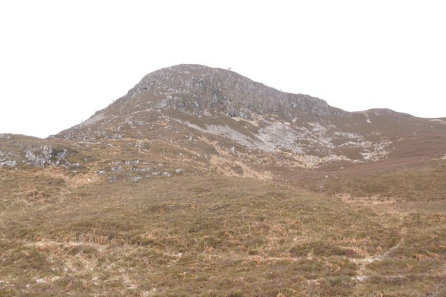
Clach Loundrain is a prominent hill located in Ross-shire, Scotland. It is situated in the northwestern part of the country, near the village of Contin. With an elevation of approximately 2,474 feet (754 meters), it is classified as a Corbett, which is a Scottish term for a hill between 2,500 and 3,000 feet in height.

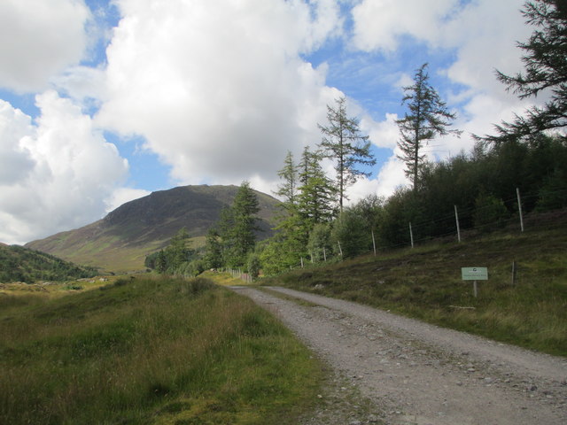
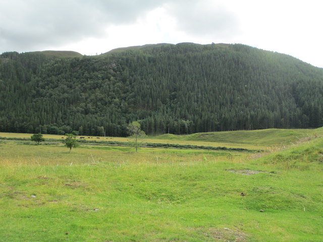
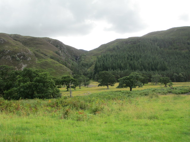
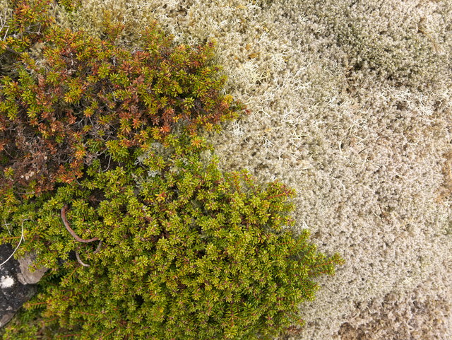
The name "Clach Loundrain" is derived from the Gaelic language, meaning "rocky hill." This description is fitting, as the hill is characterized by its rugged and rocky terrain. Its slopes are covered in heather, grasses, and scattered boulders, creating a picturesque landscape.

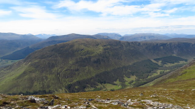
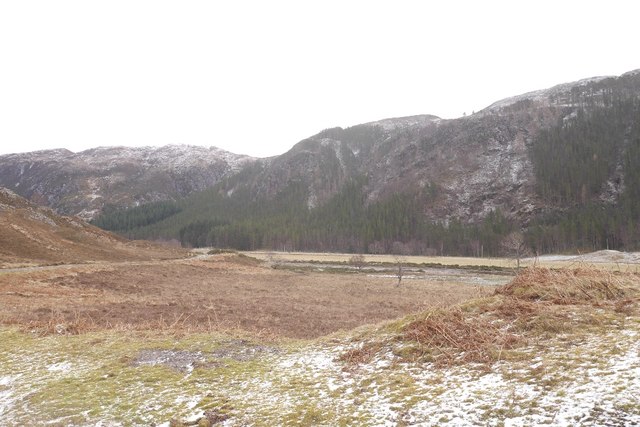
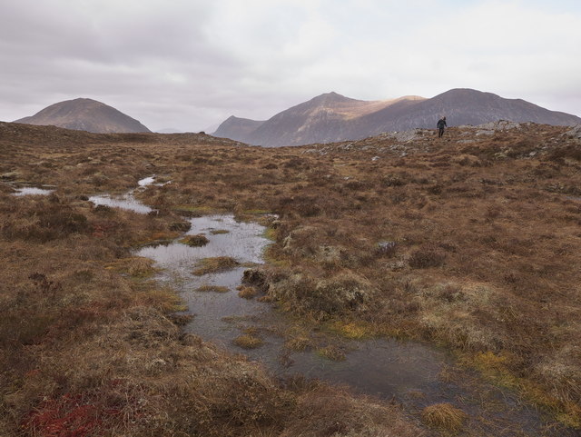
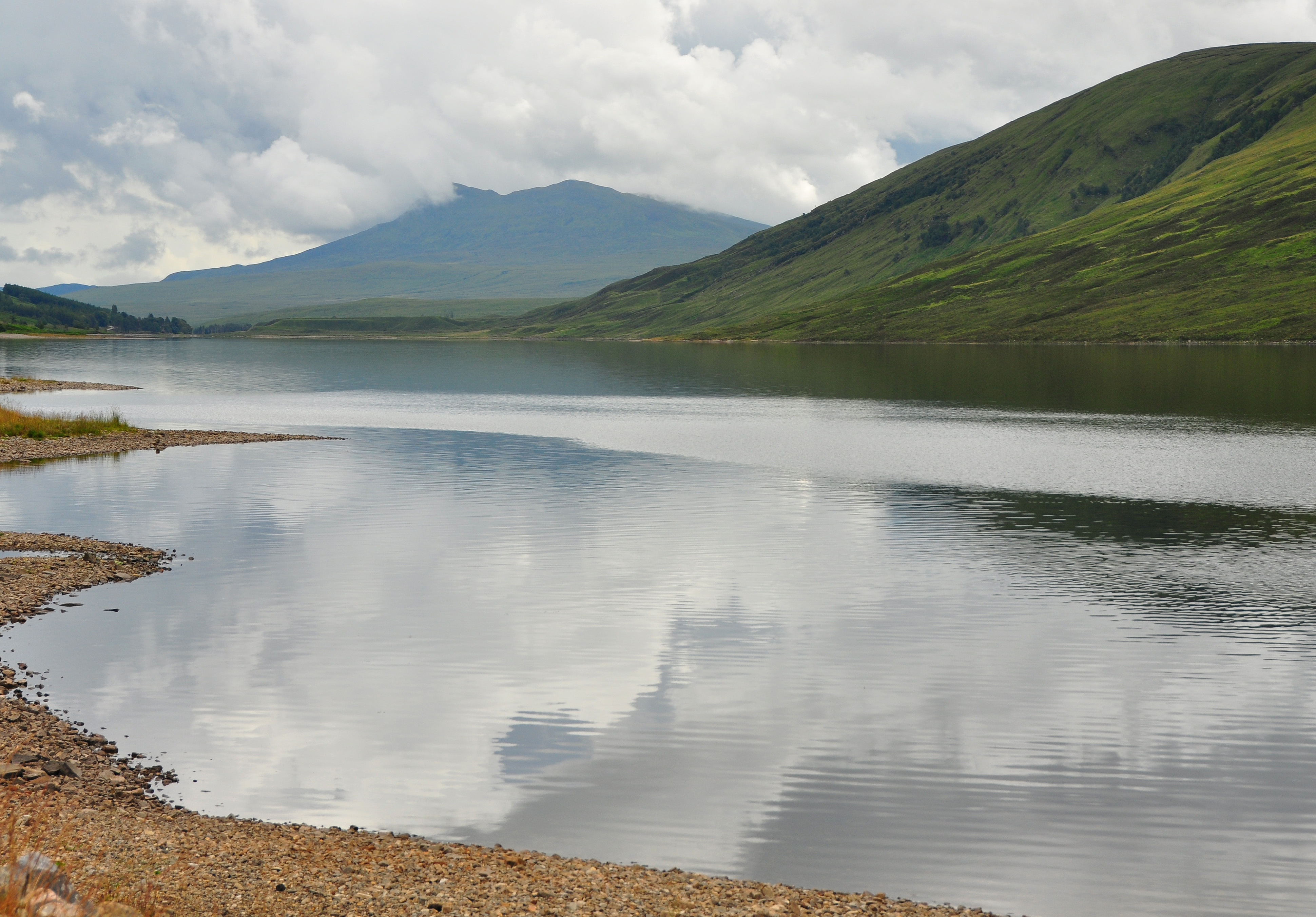
Despite its modest height, Clach Loundrain offers stunning panoramic views of the surrounding countryside. On a clear day, visitors can enjoy vistas of the nearby Munros (mountains over 3,000 feet) such as Ben Wyvis and An Teallach, as well as the beautiful Scottish Highlands. The hill is a popular destination for hikers and outdoor enthusiasts who appreciate its natural beauty.

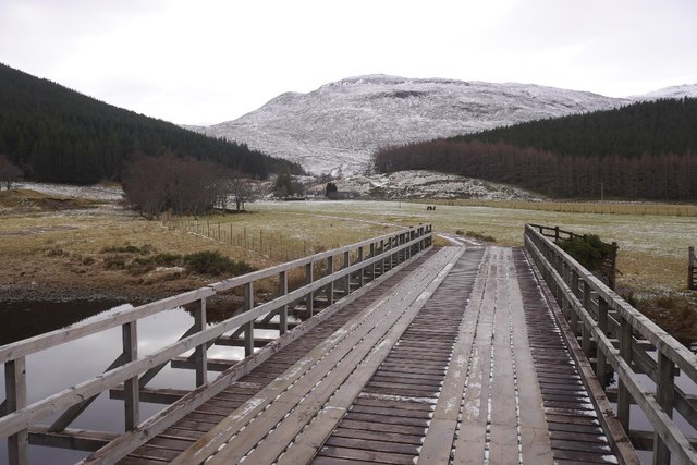
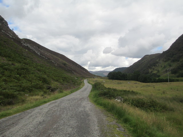
Access to Clach Loundrain is relatively straightforward, with a network of trails leading to the summit. The most common starting point is from the village of Contin, where visitors can follow well-marked paths that wind their way up the hillside. The hike to the summit typically takes a few hours, depending on the chosen route and individual fitness levels.

Overall, Clach Loundrain is a charming hill in Ross-shire, offering visitors a chance to experience the rugged beauty of the Scottish Highlands and enjoy breathtaking views from its summit.

If you have any feedback on the listing, please let us know in the comments section below.

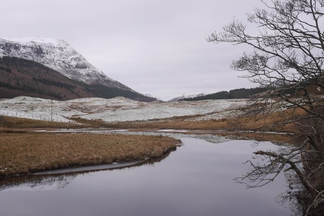
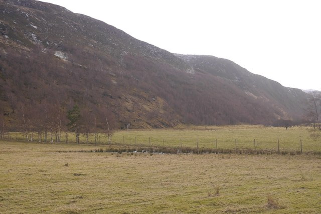
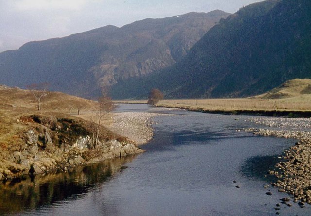
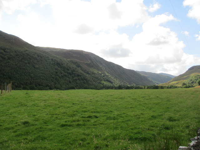
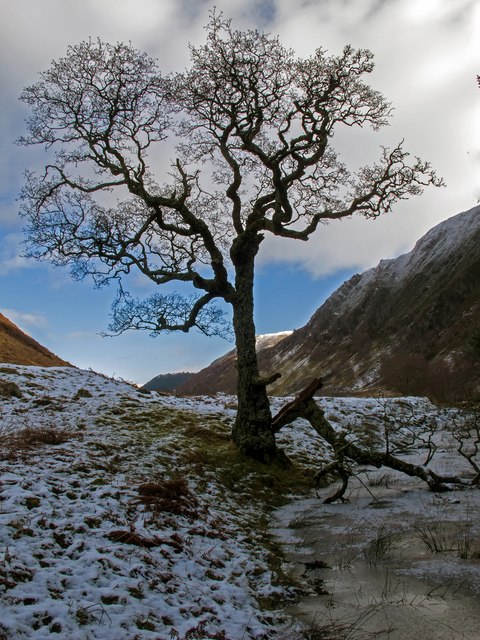
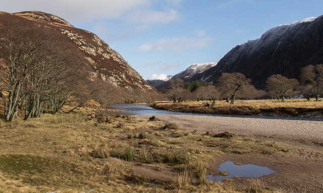
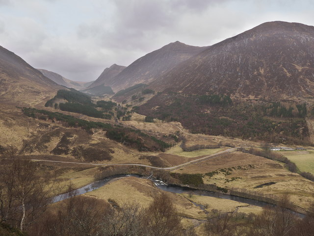
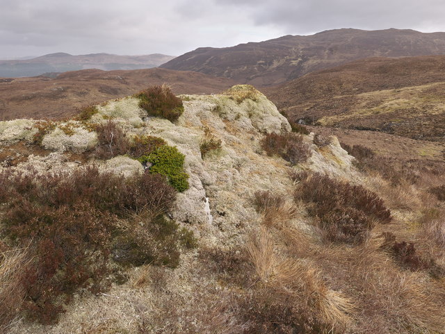
Clach Loundrain Images

Images are sourced within 2km of 57.524482/-4.8818618 or Grid Reference NH2751. Thanks to Geograph Open Source API. All images are credited.

Meall na Faochaig from Creag Ruadh
Creag Iucharaidh A craggy spur on the south side of Meall na Faochaig, Strathconon.
Creag Iucharaidh
A craggy spur on the south side of Meall na Faochaig, Strathconon.
Strathconon Rough grazing (occupied by deer and cattle) opposite Inverchoran.
Strathconon
Rough grazing (occupied by deer and cattle) opposite Inverchoran.
Bridge, Inverchoran Several through routes converge at Inverchoran.
Bridge, Inverchoran
Several through routes converge at Inverchoran.
River Meig, Strathconon Upstream view from the Inverchoran Bridge.
River Meig, Strathconon
Upstream view from the Inverchoran Bridge.
Strath Conon Flat fields on the glen floor where the Allt Turaraich meets the Meig.
Strath Conon
Flat fields on the glen floor where the Allt Turaraich meets the Meig.
River Meig at Inverchoran
Strathconon
Strathconon
Track into Gleann Meinich
Blarnabee Wood in Strathconon
Strathconon
Strathconon
Minor road in Strathconon
Old Alder tree along the River Meig This old tree stands by a small iced side stream off the River Meig. The long ridge is Creag Dhubh.
Old Alder tree along the River Meig
This old tree stands by a small iced side stream off the River Meig. The long ridge is Creag Dhubh.
Alders along the River Meig Looking downstream along the River Meig as it flows by a fine grove of Alders on the far bank. A shingle bank has formed near the confluence of the Allt Mhic Fannain which is just visible beyond the shingle.
Alders along the River Meig
Looking downstream along the River Meig as it flows by a fine grove of Alders on the far bank. A shingle bank has formed near the confluence of the Allt Mhic Fannain which is just visible beyond the shingle.
From the hillside beside Allt Mhairi, Strathconon Looking down on the footbridge used to gain access to the hillside.  The hillside was steep, but deer trails beside the burn provided some choice of route through heather. Glen Meanich provides the background interest.
From the hillside beside Allt Mhairi, Strathconon
Looking down on the footbridge used to gain access to the hillside. The hillside was steep, but deer trails beside the burn provided some choice of route through heather. Glen Meanich provides the background interest.
Moorland by Allt Mhairi, above Strathconon Brown hillsides in early April, but in places lichen-encrusted rocks and red sphagnum prove the exception.
Moorland by Allt Mhairi, above Strathconon
Brown hillsides in early April, but in places lichen-encrusted rocks and red sphagnum prove the exception.
Underfoot in the moorland above Strathconon A contrast to the overwhelmingly brown uplands colour palette.
Underfoot in the moorland above Strathconon
A contrast to the overwhelmingly brown uplands colour palette.
Boggy area close to Allt Mhairi in the Strathconon Forest In the distance the hills bordering Gleann Meinich overlook this area of moorland.
Boggy area close to Allt Mhairi in the Strathconon Forest
In the distance the hills bordering Gleann Meinich overlook this area of moorland.
Show me another place!

Clach Loundrain is located at Grid Ref: NH2751 (Lat: 57.524482, Lng: -4.8818618)

Unitary Authority: Highland

Police Authority: Highlands and Islands

What 3 Words

///weeps.cowboys.freezers. Near Achnasheen, Highland

Related Wikis

Inverchoran

Inverchoran (Scottish Gaelic: Inbhir Chòmhrainn) is a small remote hamlet, situated in the upper reaches of Strathconon, in Ross-shire, in the Highland...

Sgurr a' Mhuilinn

Sgurr a' Mhuilinn (879 m) is a mountain in Highland, Scotland. It lies in a remote location in the Northwest Highlands, approximately 40 miles (64 km)...

Bac an Eich

Bac an Eich (849 m) is a mountain in Ross and Cromarty in the Northwest Highlands of Scotland. A very remote mountain, it lies at the head of Strathconan...

Northwest Highlands

The Northwest Highlands are located in the northern third of Scotland that is separated from the Grampian Mountains by the Great Glen (Glen More). The...

Nearby Amenities

Located within 500m of 57.524482,-4.8818618
Created By: Merkaartor 0.12
Lat/Long: 57.522185/-4.8777056
Clach Loundrain
Ele: 308
Natural: peak
Lat/Long: 57.5242088/-4.8830022
Power: pole
Lat/Long: 57.5221347/-4.8790092
Power: pole
Lat/Long: 57.5214166/-4.8791127
Power: pole
Lat/Long: 57.5205754/-4.8789605
Power: pole
Lat/Long: 57.5236525/-4.877185
Power: pole
Lat/Long: 57.522938/-4.878886
Power: pole
Lat/Long: 57.524836/-4.8736608
Power: pole
Lat/Long: 57.523247/-4.8781504
Power: pole
Lat/Long: 57.5240499/-4.8754252
Power: pole
Lat/Long: 57.524245/-4.8744785
The data included in this document is from www.openstreetmap.org. The data is made available under ODbL.

Have you been to Clach Loundrain?

Leave your review of Clach Loundrain below (or comments, questions and feedback).