Cruach an t-Sidhein
Hill, Mountain in Dunbartonshire
Scotland
Cruach an t-Sidhein

Cruach an t-Sidhein, also known as Sidhean Dubh, is a prominent hill located in Dunbartonshire, Scotland. Standing at an elevation of approximately 520 meters (1,706 feet), it is considered one of the most striking landmarks in the area. The hill is situated near the village of Drymen, within the Loch Lomond and The Trossachs National Park.
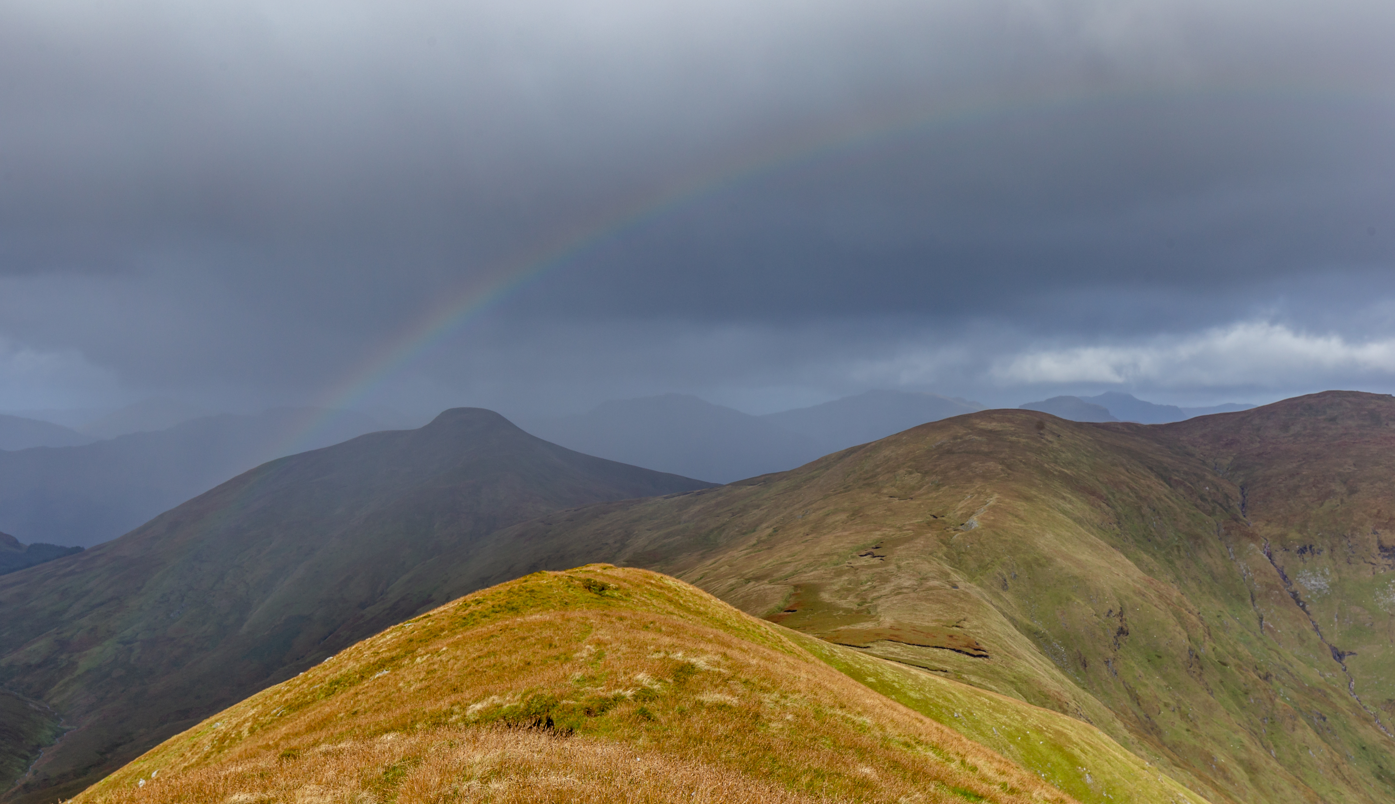
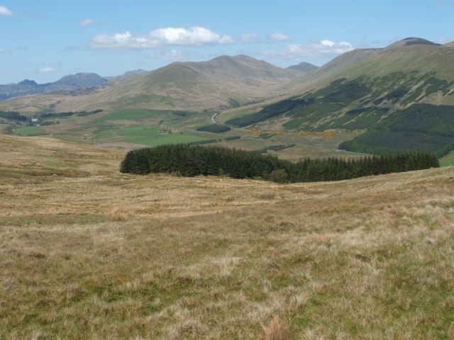
Cruach an t-Sidhein offers breathtaking panoramic views of the surrounding countryside, including Loch Lomond and the rolling hills of Dunbartonshire. The hill is characterized by its steep and rugged slopes, which are covered in heather, grasses, and scattered rocky outcrops. These features make it a popular destination for hikers and nature enthusiasts.
The summit of Cruach an t-Sidhein is marked by a cairn, a man-made pile of stones. This cairn serves as a navigation point and offers a place for visitors to rest and take in the magnificent vistas. On clear days, it is possible to see as far as the Ben Lomond mountain and the Trossachs National Park.
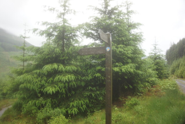
The hill is easily accessible, with several well-maintained paths leading to its summit. It is recommended for visitors to wear appropriate hiking gear and bring plenty of water, as the ascent can be challenging at times. Additionally, the area is home to a variety of wildlife, including red deer and birds of prey, providing nature enthusiasts with ample opportunities for observation and photography.
In conclusion, Cruach an t-Sidhein is a stunning hill in Dunbartonshire, Scotland, offering breathtaking views, challenging hikes, and a chance to immerse oneself in the natural beauty of the Scottish countryside.
If you have any feedback on the listing, please let us know in the comments section below.
Cruach an t-Sidhein Images
Images are sourced within 2km of 56.130097/-4.7767236 or Grid Reference NS2796. Thanks to Geograph Open Source API. All images are credited.


Cruach an t-Sidhein is located at Grid Ref: NS2796 (Lat: 56.130097, Lng: -4.7767236)
Unitary Authority: Argyll and Bute
Police Authority: Argyll and West Dunbartonshire
What 3 Words
///surpassed.optimists.cinemas. Near Garelochhead, Argyll & Bute
Nearby Locations
Related Wikis
Luss Hills
The Luss Hills are a hill range located in Argyll, Scotland. They are part of the southern foothills of the Grampian Mountains and lie west of Loch Lomond...

Doune Hill
Doune Hill (734 m) is a peak in the foothills of the Grampian Mountains of Scotland. It is located near the village of Luss in Argyll and Bute, west of...
Beinn a' Mhanaich
Beinn a' Mhanaich (709 m) is a hill in the southern Grampian Mountains of Scotland. It is located in Argyll and Bute, in the southern Luss Hills north...

Glenmallan
Glenmallan is a settlement in Argyll and Bute, Scotland, on the shore of Loch Long. It has a population of under 1000, and its coordinates are latitude...
Nearby Amenities
Located within 500m of 56.130097,-4.7767236Have you been to Cruach an t-Sidhein?
Leave your review of Cruach an t-Sidhein below (or comments, questions and feedback).