Aimey Hill

Hill, Mountain in Wigtownshire

Scotland

Aimey Hill

Flow Wood After a clear fell.
Flow Wood Credit: Richard Webb

Aimey Hill is a prominent feature located in Wigtownshire, a historic county in southwest Scotland. Classified as a hill or mountain, Aimey Hill offers picturesque views and is a popular destination for outdoor enthusiasts and nature lovers.

Rising to an elevation of approximately 327 meters (1,073 feet), Aimey Hill is characterized by its distinctive shape and rugged terrain. It is part of the larger Southern Uplands, a range of hills and low mountains spanning across southern Scotland and northern England.

The hill is composed primarily of granite and features a mixture of grassy slopes, rocky outcrops, and heather-covered moorland. Its steep sides are interspersed with deep gullies, adding to its dramatic appeal. Aimey Hill is surrounded by verdant countryside, providing a picturesque backdrop for visitors.

The summit of Aimey Hill offers breathtaking panoramic views of the surrounding landscape. On clear days, visitors can enjoy views stretching as far as the Irish Sea and the Isle of Man to the southwest. To the northeast, the hill provides vistas of the rolling hills and farmland that characterize Wigtownshire.

Aimey Hill is accessible via various footpaths, making it an attractive destination for hikers and walkers. Its relatively moderate elevation and well-maintained trails make it suitable for individuals of various fitness levels. The hill's natural beauty and tranquility make it an ideal spot for those seeking to escape the hustle and bustle of daily life and immerse themselves in the Scottish countryside.

If you have any feedback on the listing, please let us know in the comments section below.
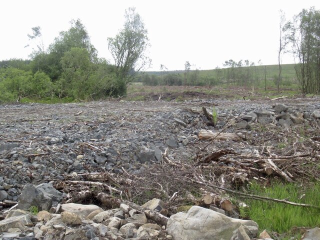
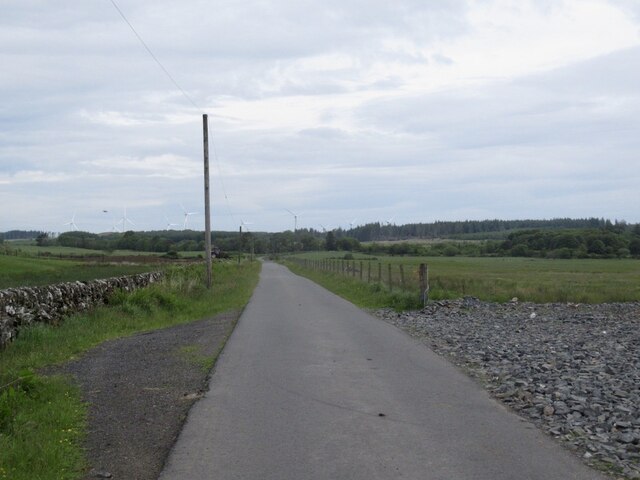
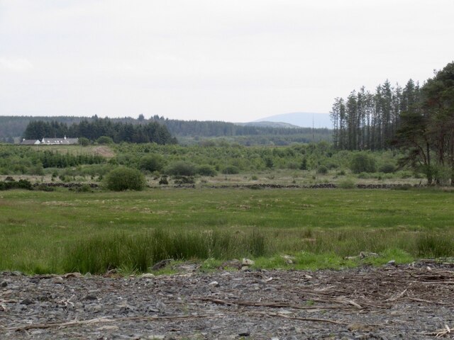
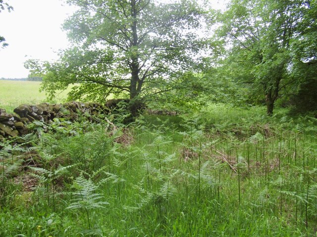
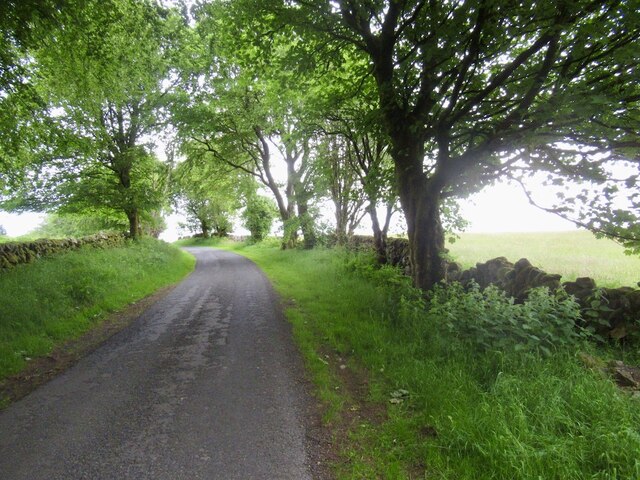
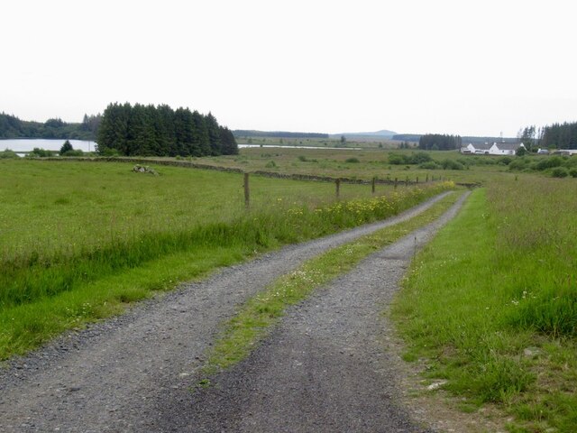
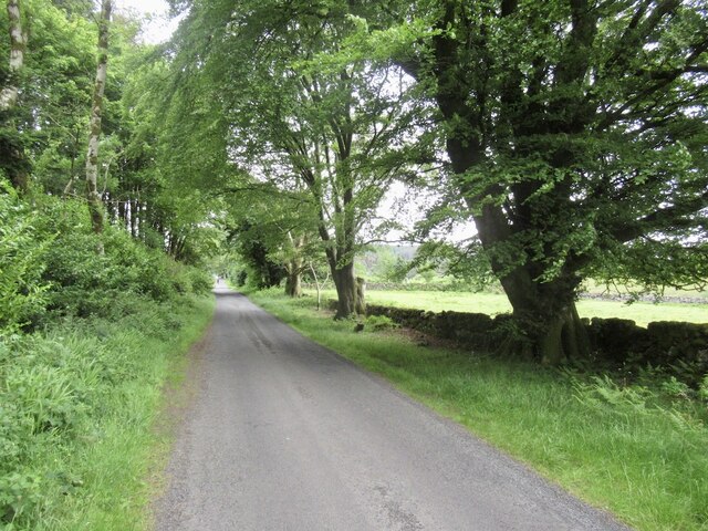
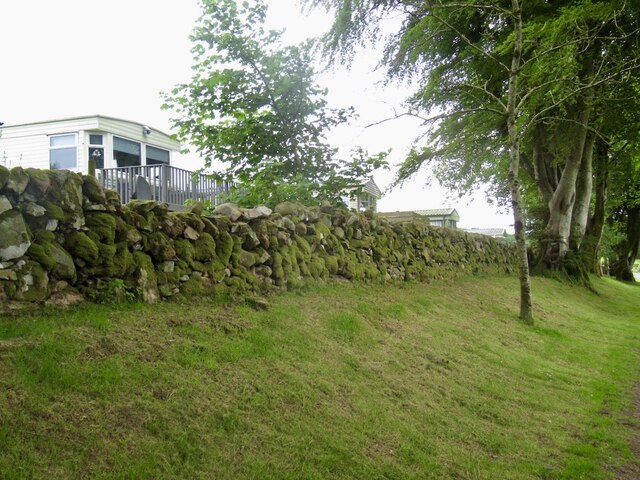
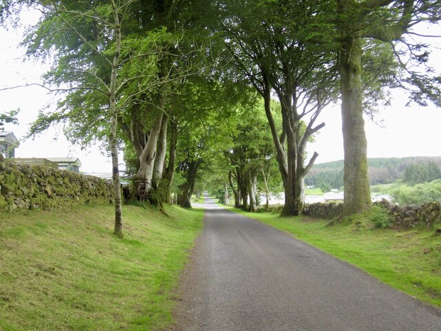
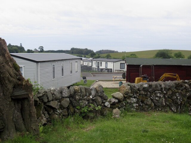
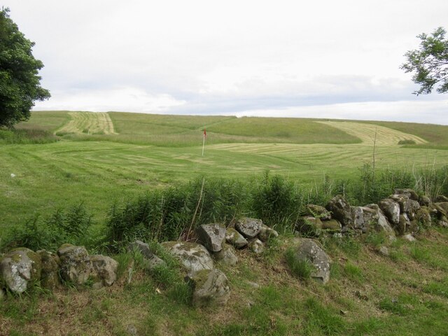
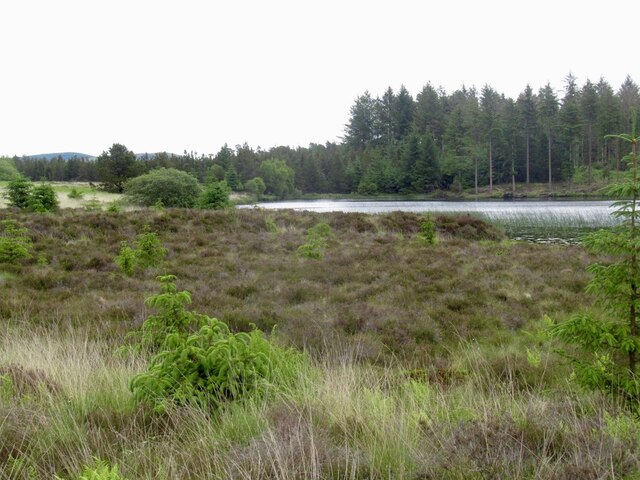
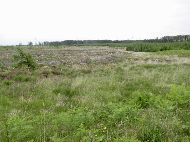
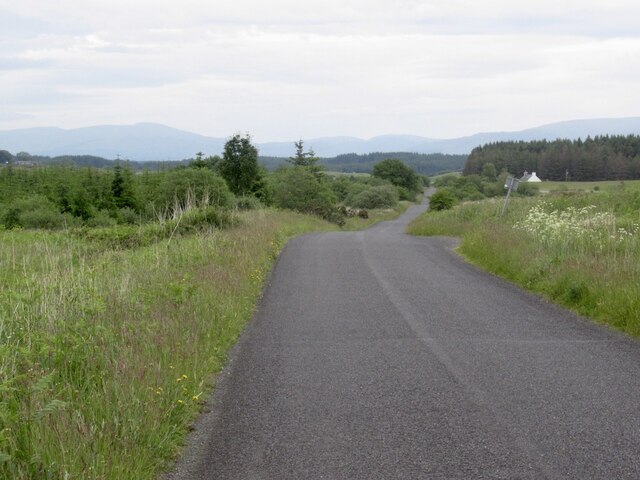
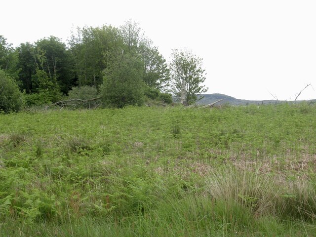
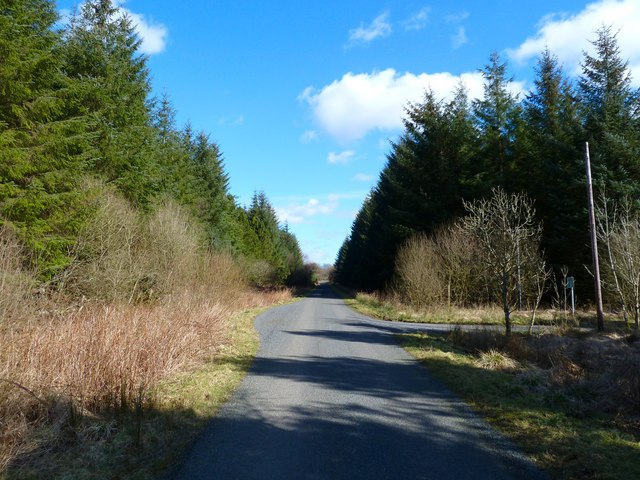
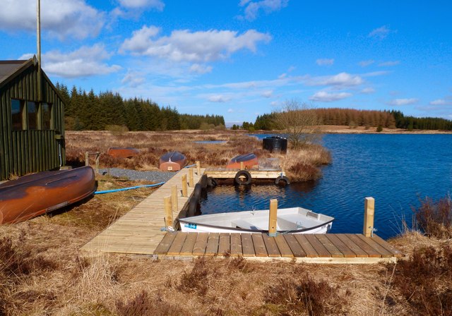
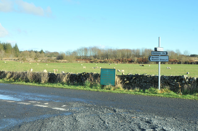
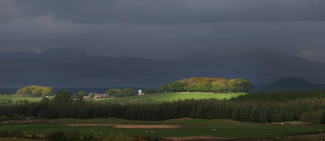
Aimey Hill Images

Images are sourced within 2km of 54.948454/-4.7034248 or Grid Reference NX2664. Thanks to Geograph Open Source API. All images are credited.

Flow Wood After a clear fell.
Flow Wood
After a clear fell.
Road towards the Three Lochs From Glenluce.
Road towards the Three Lochs
From Glenluce.
View towards Mark of Lochronald
Near Loch Ronald Leaving a forest.
Near Loch Ronald
Leaving a forest.
Road near Loch Ronald
Road to Mark of Lochronald
Yellow road, Balminnoch Balminnoch is home to a large caravan park - this may be coincidental but this road was rather poor for litter.
Yellow road, Balminnoch
Balminnoch is home to a large caravan park - this may be coincidental but this road was rather poor for litter.
Static caravans, Balminnoch Balminnoch is the home of a large caravan park.
Static caravans, Balminnoch
Balminnoch is the home of a large caravan park.
Road, Balminnoch
Road, Balminnoch
Caravan park, Balminnoch The Three Lochs caravan park.
Caravan park, Balminnoch
The Three Lochs caravan park.
Three Lochs golf course, Balminnoch Beside the caravans.
Three Lochs golf course, Balminnoch
Beside the caravans.
Black Loch
Black Loch
Forest near Balminnoch A large "Forestry Commission" holding.
Forest near Balminnoch
A large "Forestry Commission" holding.
Yellow road, Balminnoch Mostly running through forestry to the east of the caravan park.
Yellow road, Balminnoch
Mostly running through forestry to the east of the caravan park.
Within the forestry A clearing east of Balminnoch.
Within the forestry
A clearing east of Balminnoch.
Tarf Bridge View along this country road that runs through the fells and moors past the three lochs (Ronald, Heron and Black). Left of picture is Knowes O The Rue and right is the Mark of Lochronald. The track to the right runs through the Mark of Lochronald wood to Airyligg then across the Tarf Water, through Grennan and Carscreugh to end at Glenluce. Left of picture is one of several passing places on this single track road.
Tarf Bridge
View along this country road that runs through the fells and moors past the three lochs (Ronald, Heron and Black). Left of picture is Knowes O The Rue and right is the Mark of Lochronald. The track to the right runs through the Mark of Lochronald wood to Airyligg then across the Tarf Water, through Grennan and Carscreugh to end at Glenluce. Left of picture is one of several passing places on this single track road.
Black Loch View along the side of the loch which is home to the Black Loch Trout Fishery, part of the Three Lochs Estate. A new path down to this point from the road and new staging have been built recently in preparation no doubt for the new season. <a href="https://www.geograph.org.uk/photo/2315446">NX2765 : Black Loch Trout Fishery</a> <span class="nowrap"><a title="http://www.3lochs.co.uk/activities-on-the-park-and-sporting-breaks/fishing.html" rel="nofollow ugc noopener" href="http://www.3lochs.co.uk/activities-on-the-park-and-sporting-breaks/fishing.html">Link</a><img style="margin-left:2px;" alt="External link" title="External link - shift click to open in new window" src="https://s1.geograph.org.uk/img/external.png" width="10" height="10"/></span>
Black Loch
View along the side of the loch which is home to the Black Loch Trout Fishery, part of the Three Lochs Estate. A new path down to this point from the road and new staging have been built recently in preparation no doubt for the new season. NX2765 : Black Loch Trout Fishery LinkExternal link
Road junction near Tarf Bridge
Show me another place!

Aimey Hill is located at Grid Ref: NX2664 (Lat: 54.948454, Lng: -4.7034248)

Unitary Authority: Dumfries and Galloway

Police Authority: Dumfries and Galloway

What 3 Words

///bring.spicy.evolution. Near Newton Stewart, Dumfries & Galloway

Related Wikis

Tarf Water, Wigtownshire

The Tarf Water is a river in the former county of Wigtownshire in south-west Scotland. It rises on the Ayrshire border (55.0048°N 4.7815°W / 55.0048;...

Barhapple Loch

Barhapple Loch is a small semicircular freshwater loch located in Wigtownshire, Dumfries and Galloway in Scotland. Barhapple Loch is principally known...

Kirkcowan railway station

Kirkcowan railway station served the village of Kirkcowan, Dumfries and Galloway, Scotland from 1861 to 1965 on the Portpatrick and Wigtownshire Joint...

Kirkcowan

Kirkcowan is an area about 15 miles in length, and from nearly two to nearly seven miles in breadth, comprising 30,580 acres, of which 7000 are arable...

Nearby Amenities

Located within 500m of 54.948454,-4.7034248
Power: pole
Lat/Long: 54.9480841/-4.7103871
Power: pole
Lat/Long: 54.9485911/-4.7093729
Power: pole
Lat/Long: 54.9490953/-4.7083517
Power: pole
Lat/Long: 54.9496131/-4.7073305
Power: pole
Lat/Long: 54.9499771/-4.7065933
Power: pole
Lat/Long: 54.9504651/-4.7056144
Power: pole
Lat/Long: 54.9509613/-4.7046167
Power: pole
Lat/Long: 54.9514601/-4.7036213
Power: pole
Lat/Long: 54.9519508/-4.7026306
The data included in this document is from www.openstreetmap.org. The data is made available under ODbL.

Have you been to Aimey Hill?

Leave your review of Aimey Hill below (or comments, questions and feedback).