Loch Hill

Hill, Mountain in Wigtownshire

Scotland

Loch Hill

View towards Cairn Park Near Torwood
View towards Cairn Park Credit: Richard Webb

Loch Hill is a prominent hill located in Wigtownshire, a historic county in southwest Scotland. It forms part of the Southern Uplands, a range of hills and mountains that stretch across the southern regions of the country. Loch Hill's geographical coordinates are approximately 54.875°N latitude and 4.458°W longitude.

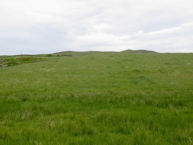
Rising to an elevation of around 312 meters (1,024 feet), Loch Hill offers breathtaking panoramic views of the surrounding countryside. The hill is characterized by its gently sloping sides, which are covered by a mix of heather and grasses. Its summit is relatively flat, providing a comfortable and accessible area for hikers to rest and take in the scenery.

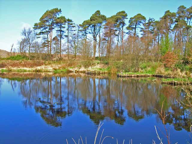
The hill is named after the nearby Loch Hill Loch, a small freshwater lake nestled at the foot of the hill. The loch is a popular spot for fishing enthusiasts, as it is known to be home to various species of fish, including brown trout and perch.

Due to its location, Loch Hill is a popular destination for outdoor activities such as hillwalking, hiking, and birdwatching. The hill offers several trails and paths that cater to different levels of experience, providing visitors with the opportunity to explore the diverse flora and fauna of the region.

Overall, Loch Hill is a picturesque and tranquil location that offers visitors a chance to immerse themselves in the natural beauty of Wigtownshire's landscape.

If you have any feedback on the listing, please let us know in the comments section below.
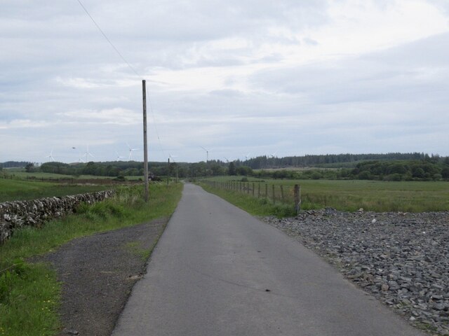
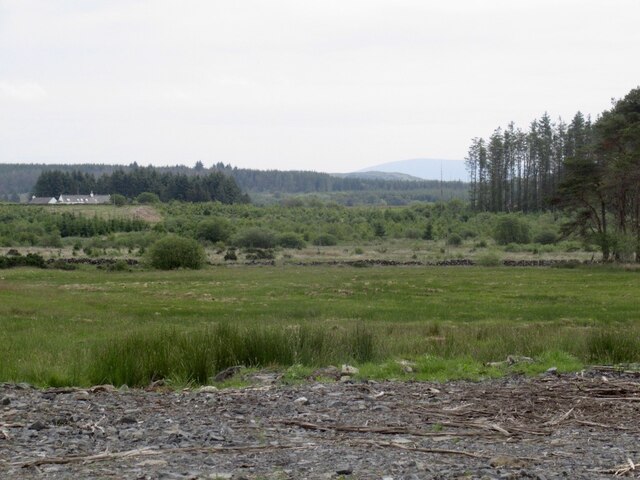
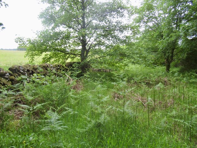
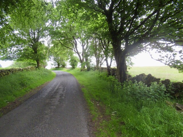
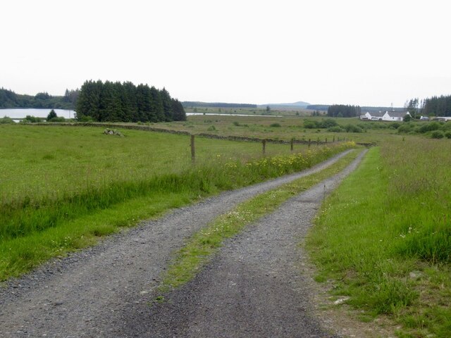
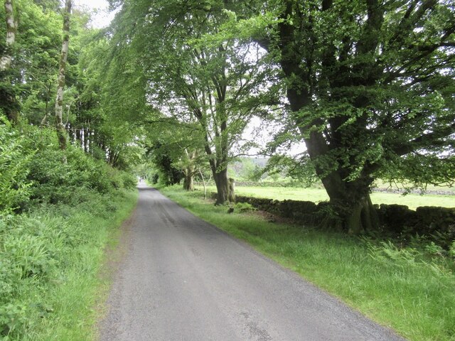
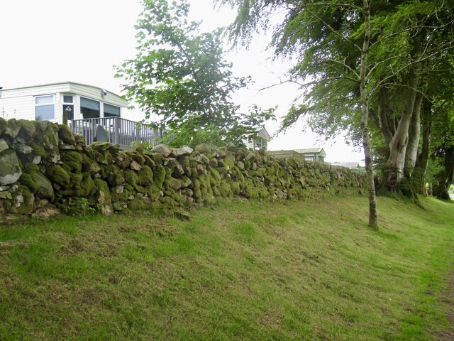
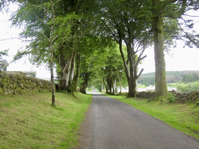
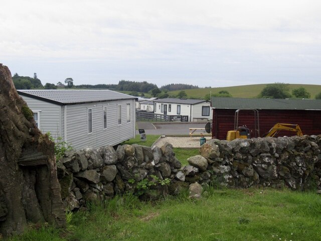
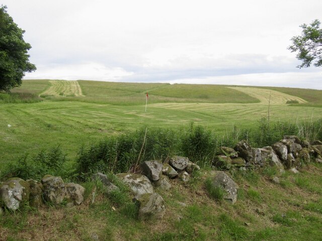
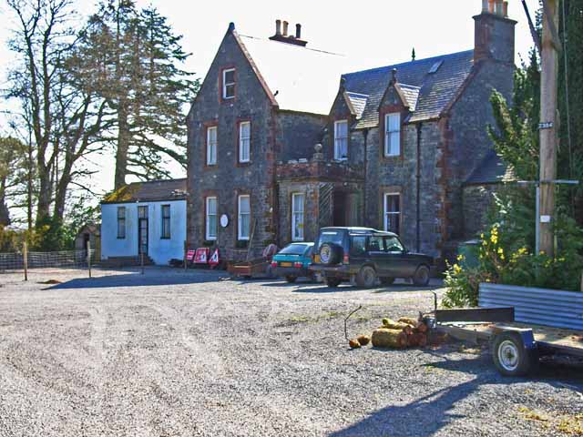
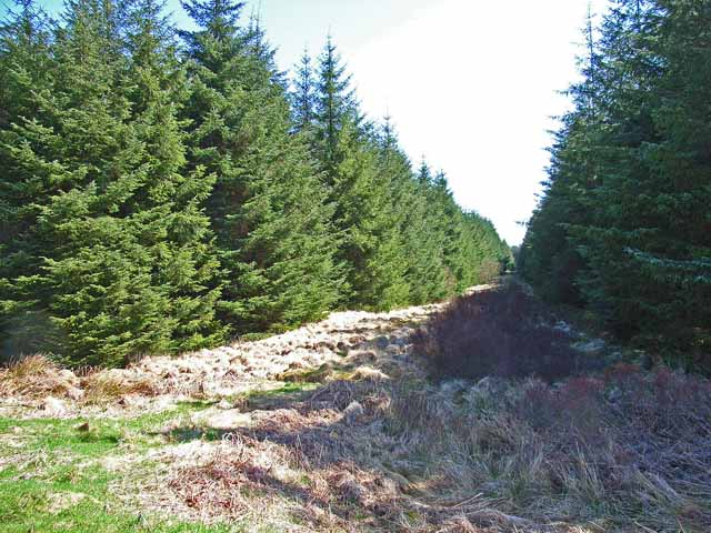
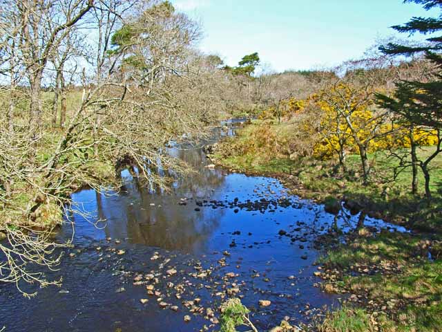
Loch Hill Images

Images are sourced within 2km of 54.942084/-4.7173635 or Grid Reference NX2664. Thanks to Geograph Open Source API. All images are credited.

View towards Cairn Park Near Torwood
View towards Cairn Park
Near Torwood
Road, Torwood
Road, Torwood
Gass Farm
Gass Farm
Flow Wood After a clear fell.
Flow Wood
After a clear fell.
Road towards the Three Lochs From Glenluce.
Road towards the Three Lochs
From Glenluce.
View towards Mark of Lochronald
Near Loch Ronald Leaving a forest.
Near Loch Ronald
Leaving a forest.
Road near Loch Ronald
Road to Mark of Lochronald
Yellow road, Balminnoch Balminnoch is home to a large caravan park - this may be coincidental but this road was rather poor for litter.
Yellow road, Balminnoch
Balminnoch is home to a large caravan park - this may be coincidental but this road was rather poor for litter.
Static caravans, Balminnoch Balminnoch is the home of a large caravan park.
Static caravans, Balminnoch
Balminnoch is the home of a large caravan park.
Road, Balminnoch
Road, Balminnoch
Caravan park, Balminnoch The Three Lochs caravan park.
Caravan park, Balminnoch
The Three Lochs caravan park.
Three Lochs golf course, Balminnoch Beside the caravans.
Three Lochs golf course, Balminnoch
Beside the caravans.
Fishing lake at Torwood House Country Hotel Set in the wilds of the Wigtownshire Moors, miles from anywhere.
Fishing lake at Torwood House Country Hotel
Set in the wilds of the Wigtownshire Moors, miles from anywhere.
Torwood House Country Hotel An old hunting lodge set in the wilds of the Wigtownshire Moors, miles from anywhere. <span class="nowrap"><a title="http://www.torwoodhotel-and-logcabins.com/" rel="nofollow ugc noopener" href="http://www.torwoodhotel-and-logcabins.com/">Link</a><img style="margin-left:2px;" alt="External link" title="External link - shift click to open in new window" src="https://s1.geograph.org.uk/img/external.png" width="10" height="10"/></span>
Torwood House Country Hotel
An old hunting lodge set in the wilds of the Wigtownshire Moors, miles from anywhere. LinkExternal link
Firebreak near Loch Ronald Much of the Wigtownshire Moors has been afforested since the 1960s.
Firebreak near Loch Ronald
Much of the Wigtownshire Moors has been afforested since the 1960s.
Tarf Water Looking north from Tarf Bridge
Tarf Water
Looking north from Tarf Bridge
Show me another place!

Loch Hill is located at Grid Ref: NX2664 (Lat: 54.942084, Lng: -4.7173635)

Unitary Authority: Dumfries and Galloway

Police Authority: Dumfries and Galloway

What 3 Words

///wounds.fool.passports. Near Newton Stewart, Dumfries & Galloway

Related Wikis

Tarf Water, Wigtownshire

The Tarf Water is a river in the former county of Wigtownshire in south-west Scotland. It rises on the Ayrshire border (55.0048°N 4.7815°W / 55.0048;...

Barhapple Loch

Barhapple Loch is a small semicircular freshwater loch located in Wigtownshire, Dumfries and Galloway in Scotland. Barhapple Loch is principally known...

Kirkcowan railway station

Kirkcowan railway station served the village of Kirkcowan, Dumfries and Galloway, Scotland from 1861 to 1965 on the Portpatrick and Wigtownshire Joint...

Kirkcowan

Kirkcowan is an area about 15 miles in length, and from nearly two to nearly seven miles in breadth, comprising 30,580 acres, of which 7000 are arable...

Nearby Amenities

Located within 500m of 54.942084,-4.7173635
Power: pole
Lat/Long: 54.9424938/-4.7246982
Power: pole
Lat/Long: 54.9428255/-4.7234891
Power: pole
Lat/Long: 54.9431478/-4.722313
Power: pole
Lat/Long: 54.9434822/-4.7211134
Power: pole
Lat/Long: 54.9438045/-4.7199372
Power: pole
Lat/Long: 54.9440768/-4.7189277
Power: pole
Lat/Long: 54.9444018/-4.7177657
Power: pole
Lat/Long: 54.9449209/-4.7167233
Power: pole
Lat/Long: 54.9453362/-4.7158805
Power: pole
Lat/Long: 54.9457866/-4.7149649
The data included in this document is from www.openstreetmap.org. The data is made available under ODbL.

Have you been to Loch Hill?

Leave your review of Loch Hill below (or comments, questions and feedback).