Auchenmalg Hill

Hill, Mountain in Wigtownshire

Scotland

Auchenmalg Hill

Linnet  On beach near Gillespie Bridge.
Linnet Credit: Russel Wills

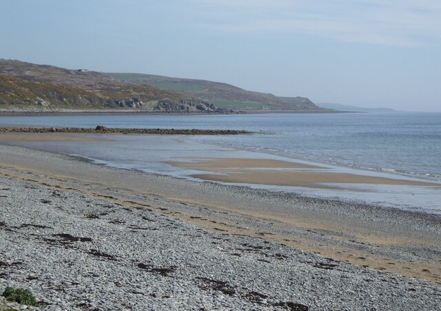
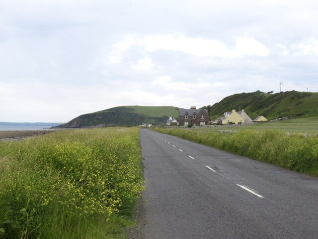
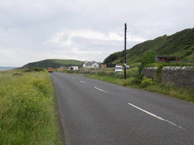
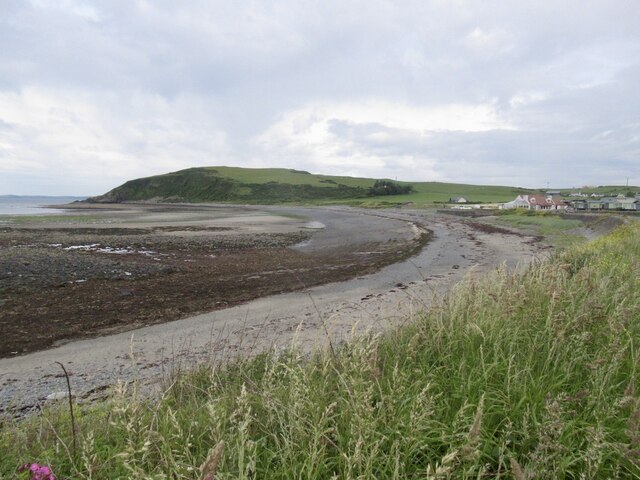
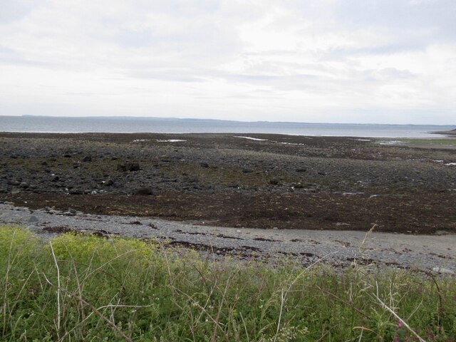
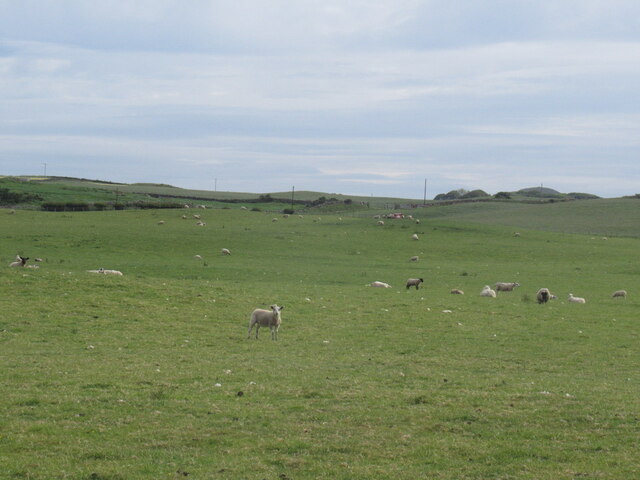
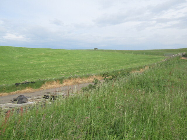
Auchenmalg Hill is a prominent landmark located in Wigtownshire, a historic county in southwest Scotland. Rising to an elevation of approximately 282 meters (925 feet), it stands as an impressive hill within the Galloway Hills range. Situated near the coast, Auchenmalg Hill offers breathtaking panoramic views of its surroundings, including the picturesque village of Auchenmalg and the sparkling waters of Luce Bay.

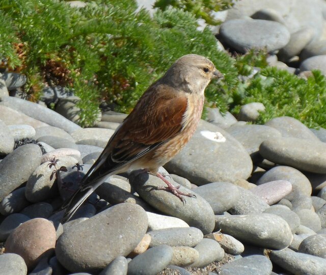
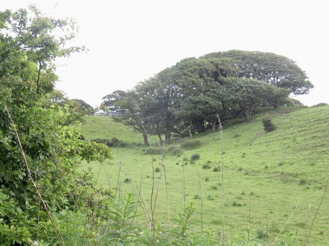
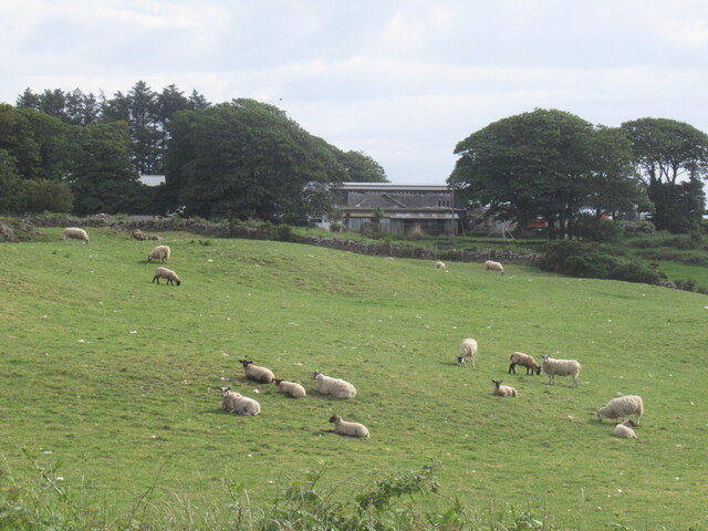
The hill is primarily composed of rugged moorland and is covered in heather, grasses, and scattered shrubs, creating a diverse and beautiful landscape. Walkers and hikers are drawn to Auchenmalg Hill, as it provides excellent opportunities for outdoor activities such as hillwalking and birdwatching. The hill is home to a variety of bird species, including buzzards and peregrine falcons, making it an attractive destination for nature enthusiasts.

At the summit of Auchenmalg Hill, visitors are rewarded with stunning views of the surrounding countryside, including the nearby Galloway Forest Park and the Solway Firth. On clear days, it is even possible to catch a glimpse of the Isle of Man across the Irish Sea.

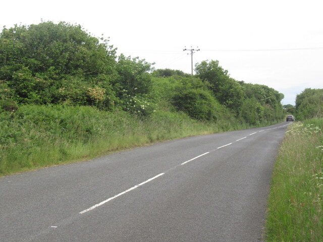
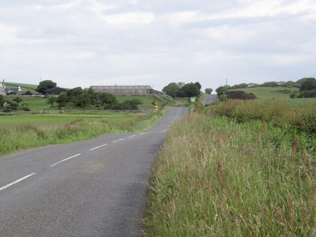
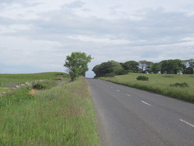
A small path leads up to the top of Auchenmalg Hill, allowing visitors to explore the area at their own pace. With its captivating natural beauty and tranquil atmosphere, Auchenmalg Hill stands as a must-visit destination for those seeking a peaceful retreat amidst the stunning Scottish countryside.

If you have any feedback on the listing, please let us know in the comments section below.

Auchenmalg Hill Images

Images are sourced within 2km of 54.834262/-4.7409314 or Grid Reference NX2452. Thanks to Geograph Open Source API. All images are credited.

Linnet  On beach near Gillespie Bridge.
Linnet
On beach near Gillespie Bridge.
The beach at Craignarget The MOD West Freugh Sea Danger Area is offshore here!
The beach at Craignarget
The MOD West Freugh Sea Danger Area is offshore here!
Coastal strip, Craignarget A break in the scrub with a grassy picnic area. As usual with such places, they are here.
Coastal strip, Craignarget
A break in the scrub with a grassy picnic area. As usual with such places, they are here.
Coastal strip, Gillespie Not wanting to get drawn into the helmet debate, but I now wear one when pottering about mainly because of the current fashion of sticking rocks on road sides. Having been forced off the road and into one, I am not a fan.
Coastal strip, Gillespie
Not wanting to get drawn into the helmet debate, but I now wear one when pottering about mainly because of the current fashion of sticking rocks on road sides. Having been forced off the road and into one, I am not a fan.
A747 Near the end of the long, >15km run along a raised beach beside Luce Bay. Soon to the north the road climbs into the interior of the Machars.
A747
Near the end of the long, >15km run along a raised beach beside Luce Bay. Soon to the north the road climbs into the interior of the Machars.
A747 outside Craig Lodge Near the end of the long, >15km run along a raised beach beside Luce Bay. Soon to the north the road climbs into the interior of the Machars.
A747 outside Craig Lodge
Near the end of the long, >15km run along a raised beach beside Luce Bay. Soon to the north the road climbs into the interior of the Machars.
Craig Lodge
Craig Lodge
Auchenmalg Bay
Auchenmalg Bay
Beach, Auchenmalg Bay
Static caravans and A747, Auchenmalg Bay
B747, Auchenmalg
B747, Auchenmalg
Farmland, Auchenmalg
Sheep near Challochmun
A747, Challochmun
A747, Challochmun
Ewes and lambs, Crews
Near Challochmun on the A747
Field near Challochmun
Old milestone Travelling from Port William the 7 mile stone is missing.  This 8 mile stone is the only one to be sited on the shore side of the road.  It is also the first one reached that has no arrows.   It is just east of Gillespie bridge near an MOD substation.   Most of Luce Bay is classed as Danger Area so the substation may have some signifucance.
Old milestone
Travelling from Port William the 7 mile stone is missing. This 8 mile stone is the only one to be sited on the shore side of the road. It is also the first one reached that has no arrows. It is just east of Gillespie bridge near an MOD substation. Most of Luce Bay is classed as Danger Area so the substation may have some signifucance.
Show me another place!

Auchenmalg Hill is located at Grid Ref: NX2452 (Lat: 54.834262, Lng: -4.7409314)

Unitary Authority: Dumfries and Galloway

Police Authority: Dumfries and Galloway

What 3 Words

///lately.takeover.headlines. Near Drummore, Dumfries & Galloway

Nearby Locations

Auchenmalg Hill

Related Wikis

Wigtown Area

Wigtown is a lieutenancy area in south-west Scotland and a committee area of Dumfries and Galloway Council. From 1975 until 1996 it was also a local government...

Wigtownshire

Wigtownshire or the County of Wigtown (Scottish Gaelic: Siorrachd Bhaile na h-Ùige, Scots: Wigtounshire) is one of the historic counties of Scotland, covering...
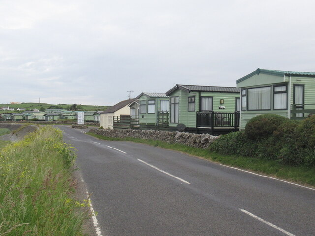
Auchenmalg

Auchenmalg is a small hamlet situated on the shore of Luce Bay in the parish of Old Luce, Wigtownshire, south-west Scotland. Auchenmalg consists of a village...

Castle Loch, Dumfries and Galloway

Castle Loch is a large, shallow, freshwater loch in Dumfries and Galloway, in the Southern Uplands of south-west Scotland. It lies to the west of Mochrum...

Nearby Amenities

Located within 500m of 54.834262,-4.7409314
Cloven Craig
Natural: stone
Lat/Long: 54.8340158/-4.7391238
Power: pole
Lat/Long: 54.8298031/-4.7417817
Power: pole
Lat/Long: 54.8336347/-4.748176
Power: pole
Lat/Long: 54.8339097/-4.74784
Power: pole
Lat/Long: 54.8341605/-4.7475082
Power: pole
Lat/Long: 54.8344404/-4.7470475
Power: pole
Lat/Long: 54.8347252/-4.7465783
Power: pole
Lat/Long: 54.8350088/-4.7461303
Power: pole
Lat/Long: 54.8352839/-4.7456801
Power: pole
Lat/Long: 54.835531/-4.7453061
Power: pole
Lat/Long: 54.8342481/-4.7480682
Power: pole
Lat/Long: 54.8343284/-4.7485881
Power: pole
Lat/Long: 54.8330175/-4.7480999
Power: pole
Lat/Long: 54.8335823/-4.7477998
The data included in this document is from www.openstreetmap.org. The data is made available under ODbL.

Have you been to Auchenmalg Hill?

Leave your review of Auchenmalg Hill below (or comments, questions and feedback).