Wenchly Top

Hill, Mountain in Renfrewshire

Scotland

Wenchly Top

Kelly Reservoir Looking towards the head of Kelly Reservoir from its dam.
Kelly Reservoir Credit: Mark Nightingale

Wenchly Top is a prominent hill located in the county of Renfrewshire, in the west-central Lowlands of Scotland. It stands at an elevation of approximately 324 meters (1,063 feet) above sea level, making it a notable landmark in the area.

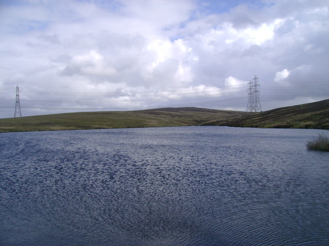
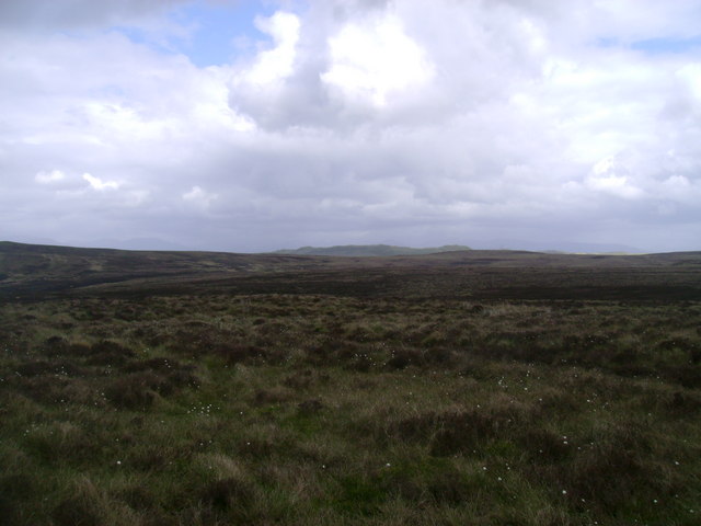
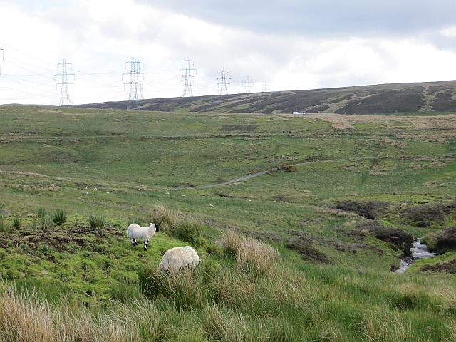
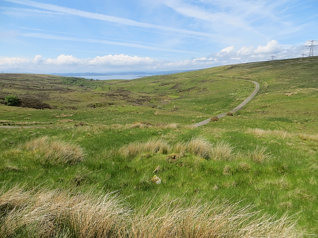
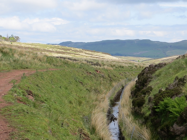
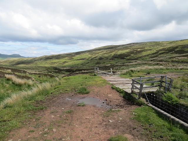
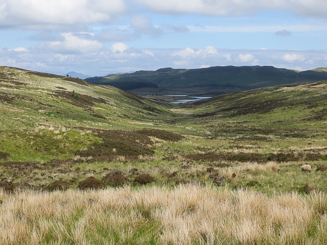
Situated near the village of Lochwinnoch, Wenchly Top is part of the rolling landscape that characterizes the region. It is surrounded by picturesque countryside, offering stunning panoramic views of the surrounding countryside, including the nearby Clyde Muirsheil Regional Park.

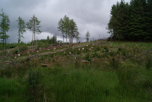
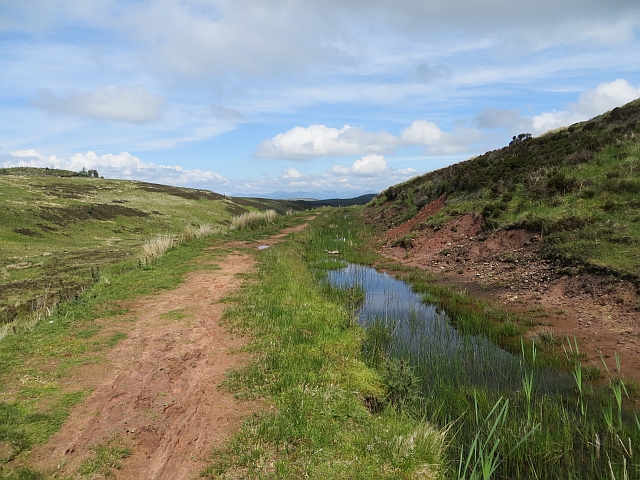
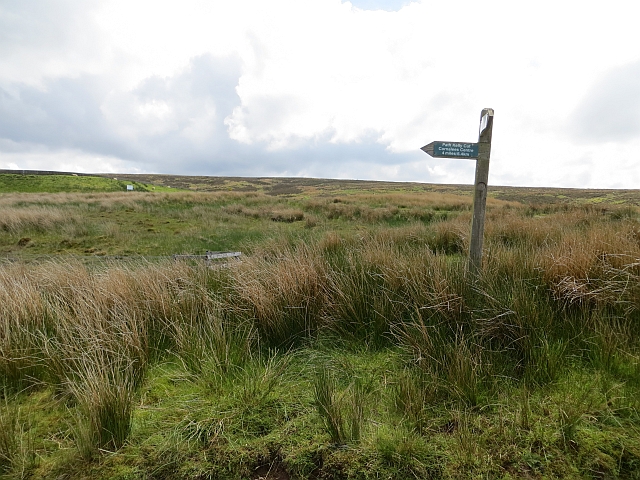
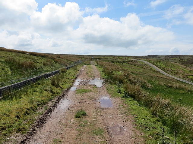
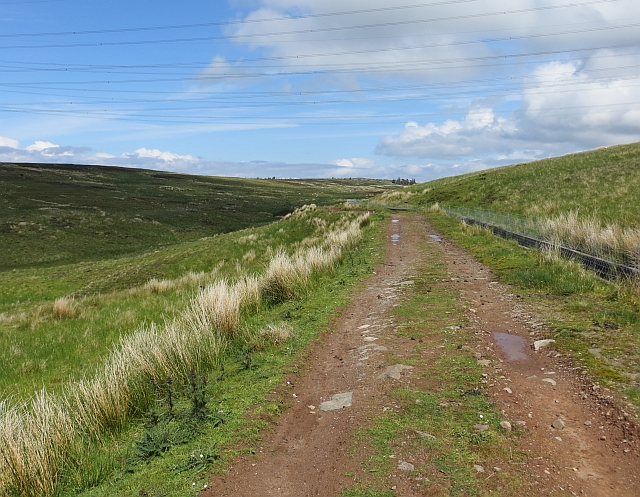
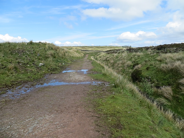
The hill is accessible via a network of well-maintained footpaths and trails, making it a popular destination for outdoor enthusiasts and nature lovers. Hiking to the summit of Wenchly Top allows visitors to appreciate the beauty of the surrounding area, with its diverse flora and fauna.

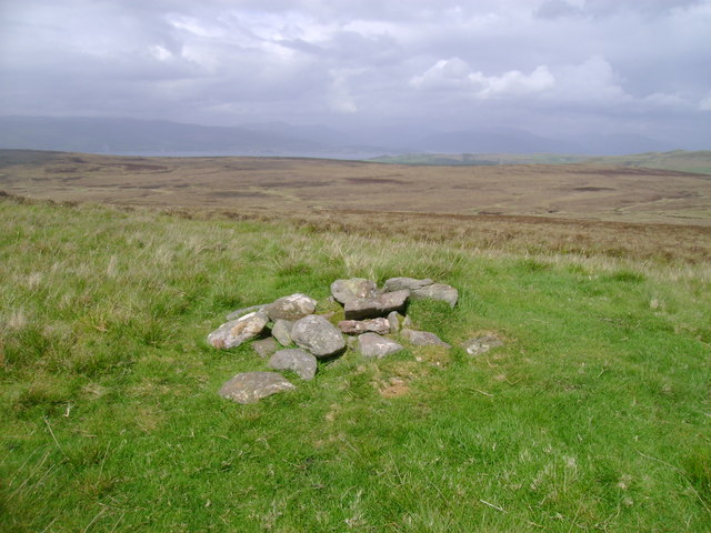
The summit of Wenchly Top offers a breathtaking vista, providing unobstructed views of the surrounding Renfrewshire countryside, the Clyde Estuary, and the distant peaks of the Scottish Highlands on a clear day. This makes it a popular spot for photographers and nature enthusiasts seeking a peaceful and elevated vantage point.

In addition to its natural beauty, Wenchly Top also holds historical significance. It is believed to have been used as a site for ancient settlements, with evidence of prehistoric remains discovered in the vicinity.

Overall, Wenchly Top offers visitors a unique opportunity to experience the natural beauty and rich history of Renfrewshire, providing a memorable and enriching experience for all who venture to its summit.

If you have any feedback on the listing, please let us know in the comments section below.

Wenchly Top Images

Images are sourced within 2km of 55.887398/-4.8302576 or Grid Reference NS2369. Thanks to Geograph Open Source API. All images are credited.

Kelly Reservoir Looking towards the head of Kelly Reservoir from its dam.
Kelly Reservoir
Looking towards the head of Kelly Reservoir from its dam.
Ferret of Keith Moor Looking north across Ferret of Keith Moor with Dunrod Hill in the background.
Ferret of Keith Moor
Looking north across Ferret of Keith Moor with Dunrod Hill in the background.
On Berry Hill The summit of Berry Hill, a small patch of spring green in the midst of brown heather moorland, is marked with the remnants of a small cairn.
On Berry Hill
The summit of Berry Hill, a small patch of spring green in the midst of brown heather moorland, is marked with the remnants of a small cairn.
Leapmoor Forest Looking towards the top of the hill on the main track through the forest.
Leapmoor Forest
Looking towards the top of the hill on the main track through the forest.
Rottenburn Bridge
Rottenburn Bridge
Upper Kelly Glen Two power lines leave the site of Inverkip power station, passing the Kelly Reservoir which has a van parked on the dam.
Upper Kelly Glen
Two power lines leave the site of Inverkip power station, passing the Kelly Reservoir which has a van parked on the dam.
Upper Kelly Glen View downstream from the Kelly Cut.
Upper Kelly Glen
View downstream from the Kelly Cut.
Kelly Cut The cut at about halfway between Wemyss Bay and Cornalees. The path is very red and there is some sandstone exposed.
Kelly Cut
The cut at about halfway between Wemyss Bay and Cornalees. The path is very red and there is some sandstone exposed.
Power line over White Hill The road to Kelly Reservoir passes under two power lines that originate from the site of Inverkip power station which was in the final stages of demolition.
Power line over White Hill
The road to Kelly Reservoir passes under two power lines that originate from the site of Inverkip power station which was in the final stages of demolition.
Kelly Cut  path sign Signpost at the end of the Kelly Cut. The mound at the back, left, is the Kelly Reservoir dam.
Kelly Cut path sign
Signpost at the end of the Kelly Cut. The mound at the back, left, is the Kelly Reservoir dam.
Kelly Cut Track beside an aqueduct which served the Greenock water works. It was a follow up to the Greenock Cut and dug out in the 1840s.
Kelly Cut
Track beside an aqueduct which served the Greenock water works. It was a follow up to the Greenock Cut and dug out in the 1840s.
Kelly Cut A track beside an old aqueduct which collected water and distributed it to Loch Thom to increase the water supply to Greenock.
Kelly Cut
A track beside an old aqueduct which collected water and distributed it to Loch Thom to increase the water supply to Greenock.
Kelly Cut Earthen track beside the old aqueduct, an 1840s extension to the Greenock Cut.
Kelly Cut
Earthen track beside the old aqueduct, an 1840s extension to the Greenock Cut.
Kelly Cut The aqueduct breaches a watershed between the Kelly Glen and Daff Glen. There is a deep cutting here.
Kelly Cut
The aqueduct breaches a watershed between the Kelly Glen and Daff Glen. There is a deep cutting here.
Bridge, Kelly Cut An overflow from the cut, it feeds the Glenshilloch Burn.
Bridge, Kelly Cut
An overflow from the cut, it feeds the Glenshilloch Burn.
Glenshilloch Burn A view down the course of the Glenshilloch Burn from the Kelly Cut.
Glenshilloch Burn
A view down the course of the Glenshilloch Burn from the Kelly Cut.
Half way sign, Kelly Cut Half way from Cornalees to Wemyss Bay.
Half way sign, Kelly Cut
Half way from Cornalees to Wemyss Bay.
Old Largs Road & Rottenburn Bridge
Show me another place!

Wenchly Top is located at Grid Ref: NS2369 (Lat: 55.887398, Lng: -4.8302576)

Unitary Authority: Inverclyde

Police Authority: Renfrewshire and Inverclyde

What 3 Words

///uncouth.woodstove.hopes. Near Inverkip, Inverclyde

Nearby Locations

Brownhill Moss Wenchly Top

Related Wikis

Inverkip

Inverkip (; Scottish Gaelic: Inbhir Chip) is a village and parish in the Inverclyde council area and historic county of Renfrewshire in the west central...

Inverkip railway station

Inverkip railway station is a railway station serving the village of Inverkip, Inverclyde, Scotland. The station is managed by ScotRail and is on the Inverclyde...

Wemyss Bay

Wemyss Bay ( ) is a village on the coast of the Firth of Clyde in Inverclyde in the west central Lowlands of Scotland. It is in the traditional county...

Kip Water, Inverclyde

Kip Water, also known as the River Kip, is a short river in Inverclyde, Scotland which gives the village of Inverkip its name (Inverkip = mouth of the...

Inverkip power station

Inverkip power station was an oil-fired power station in Inverclyde, on the west coast of Scotland. It was closer to Wemyss Bay than Inverkip, and dominated...

Loch Thom

Loch Thom is a reservoir which since 1827 has provided a water supply to the town of Greenock in Inverclyde, Scotland. It is named after the civil engineer...

Skelmorlie

Skelmorlie is a village in North Ayrshire in the southwest of Scotland. Although it is the northernmost settlement in the council area of North Ayrshire...

Wemyss Bay railway station

Wemyss Bay railway station serves the village of Wemyss Bay, Inverclyde, Scotland. The station is a terminus on the Inverclyde Line, about 26 miles (42...

Nearby Amenities

Located within 500m of 55.887398,-4.8302576
Wenchly Top
Corbett: no
Ele: 276
Munro: no
Natural: peak
Lat/Long: 55.8869626/-4.8296067
The data included in this document is from www.openstreetmap.org. The data is made available under ODbL.

Have you been to Wenchly Top?

Leave your review of Wenchly Top below (or comments, questions and feedback).