Artfield Fell
Hill, Mountain in Wigtownshire
Scotland
Artfield Fell

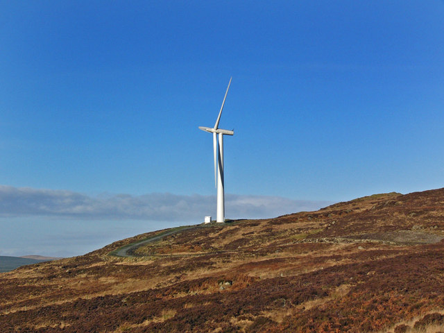
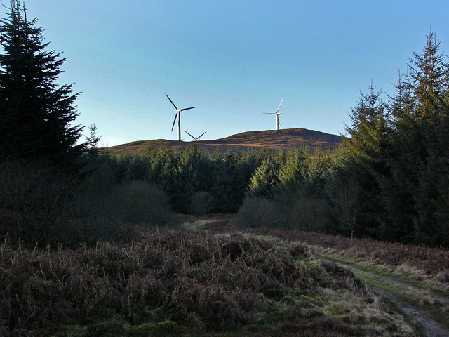
Artfield Fell is a prominent hill located in Wigtownshire, a historic county in southwest Scotland. Situated near the village of Artfield, the fell is a notable landmark in the region and offers breathtaking views of the surrounding countryside. Rising to an elevation of 528 meters (1,732 feet), it is classified as a hill rather than a mountain.
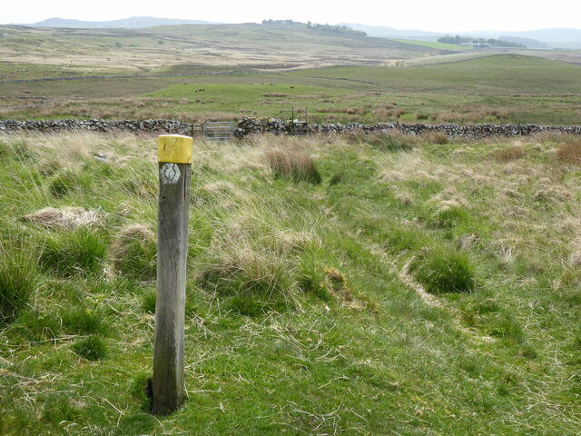
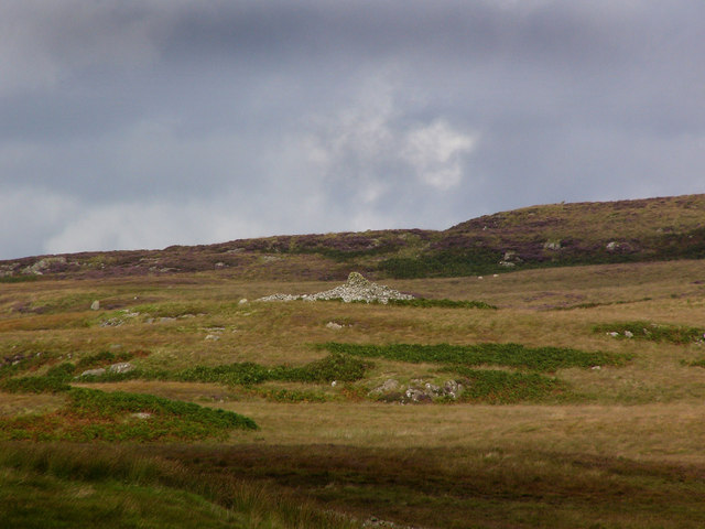
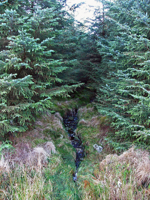
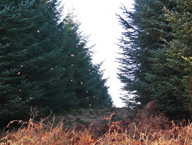
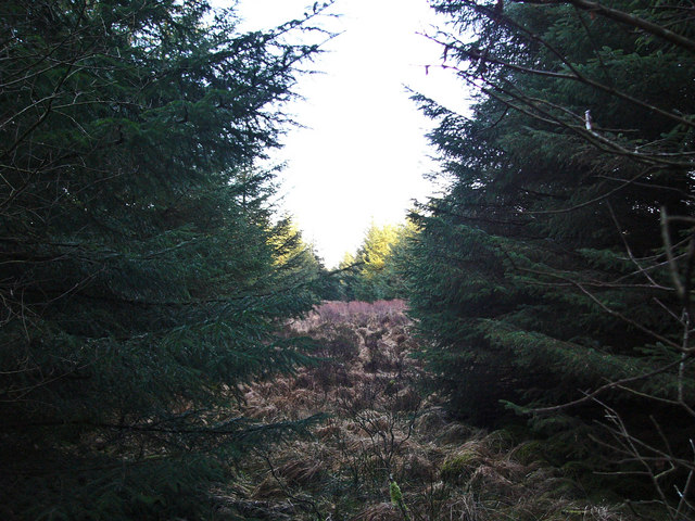
Artfield Fell boasts a distinctive shape, with a gentle, grassy slope leading up to its summit. The hill is predominantly composed of granite, giving it a unique appearance and adding to its natural beauty. It is covered in heather and scattered with rocks, providing a picturesque landscape for visitors to explore.
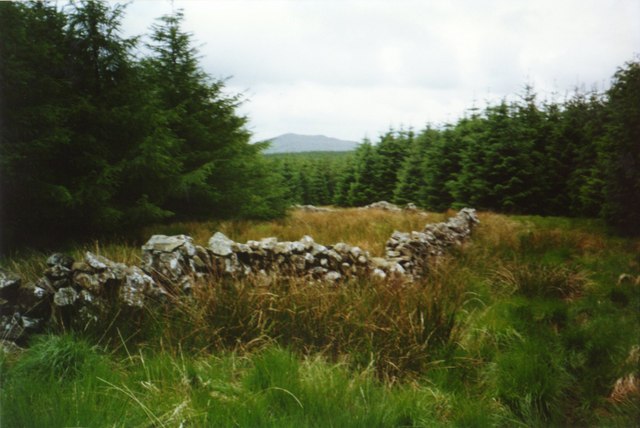
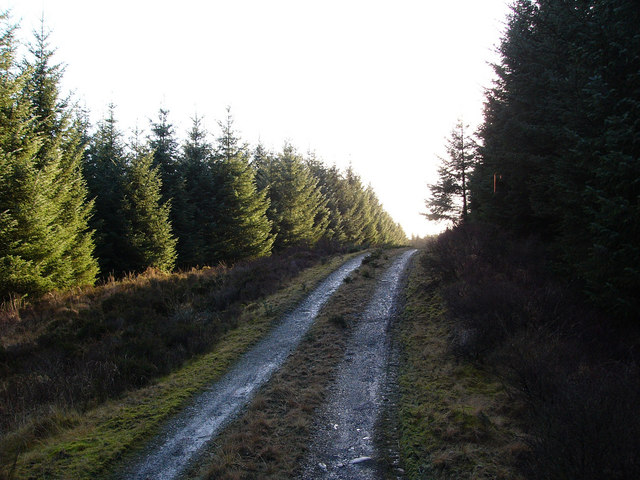
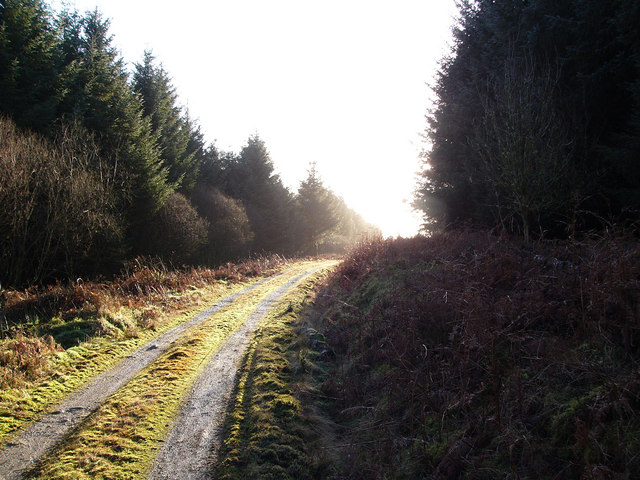
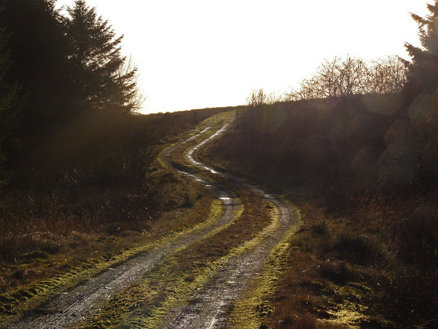
Hikers and outdoor enthusiasts are drawn to Artfield Fell for its tranquil and serene atmosphere. The hill is easily accessible via a network of footpaths and trails that wind their way through the surrounding countryside. The ascent to the summit is relatively gentle, making it suitable for hikers of various skill levels.
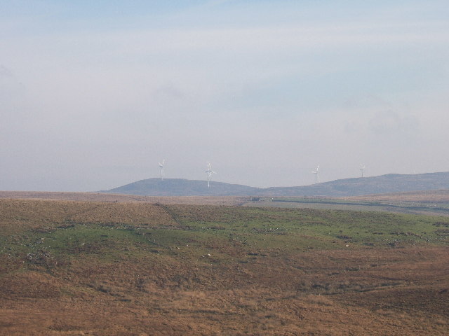
From the top of Artfield Fell, one can enjoy panoramic views of the rolling hills and lush valleys below, as well as glimpses of the nearby Loch Ryan and the Irish Sea. On clear days, the distant Galloway Forest Park and the Isle of Man can also be seen.
In addition to its natural beauty, Artfield Fell is home to a diverse range of flora and fauna. The hill provides habitat for various bird species, including the red grouse and the golden plover. It is also home to a variety of plant species, such as heather, bilberry, and cotton grass.
Overall, Artfield Fell is a captivating hill that offers visitors a chance to immerse themselves in the stunning Scottish countryside and appreciate the wonders of nature.
If you have any feedback on the listing, please let us know in the comments section below.
Artfield Fell Images
Images are sourced within 2km of 54.971976/-4.7659214 or Grid Reference NX2367. Thanks to Geograph Open Source API. All images are credited.

Artfield Fell is located at Grid Ref: NX2367 (Lat: 54.971976, Lng: -4.7659214)
Unitary Authority: Dumfries and Galloway
Police Authority: Dumfries and Galloway
What 3 Words
///drainage.tornado.seeing. Near Cairnryan, Dumfries & Galloway
Nearby Locations
Related Wikis

Tarf Water, Wigtownshire
The Tarf Water is a river in the former county of Wigtownshire in south-west Scotland. It rises on the Ayrshire border (55.0048°N 4.7815°W / 55.0048;...

New Luce
New Luce (Scottish Gaelic: Baile Ùr Ghlinn Lus) is a civil parish in Dumfries and Galloway, south-west Scotland. It lies in the traditional county of Wigtownshire...

Glenwhilly railway station
Glenwhilly railway station served the area of Glenwhilly, Dumfries and Galloway, Scotland from 1887 to 1965 on the Girvan and Portpatrick Junction Railway...

New Luce railway station
New Luce railway station served the village of New Luce, Dumfries and Galloway, Scotland from 1887 to 1965 on the Girvan and Portpatrick Junction Railway...

Mid Gleniron
Mid Gleniron is a prehistoric site in Dumfries and Galloway used in the Neolithic and Bronze Age. The site is a scheduled ancient monument that comprises...

Kilgallioch
Kilgallioch Wind Farm is a 96 turbine wind farm in South Ayrshire, Scotland with a total capacity of up to 239 megawatts (MW). Consent granted by the Scottish...

Barhapple Loch
Barhapple Loch is a small semicircular freshwater loch located in Wigtownshire, Dumfries and Galloway in Scotland. Barhapple Loch is principally known...
Nearby Amenities
Located within 500m of 54.971976,-4.7659214Have you been to Artfield Fell?
Leave your review of Artfield Fell below (or comments, questions and feedback).