Brownhill Moss
Downs, Moorland in Renfrewshire
Scotland
Brownhill Moss
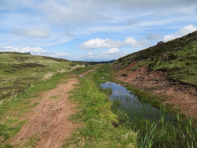
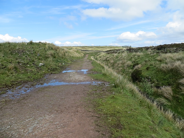
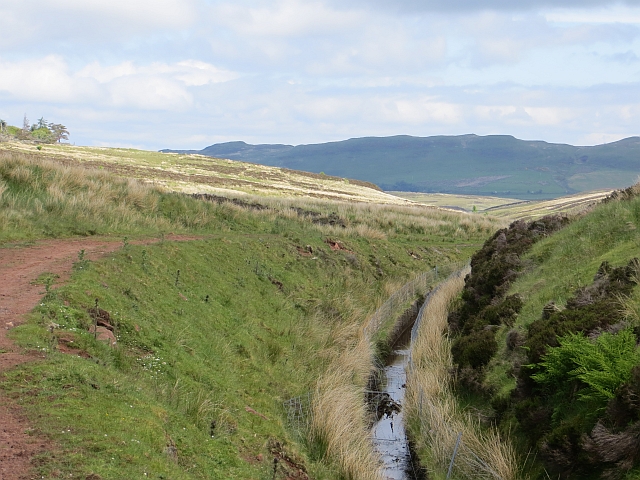
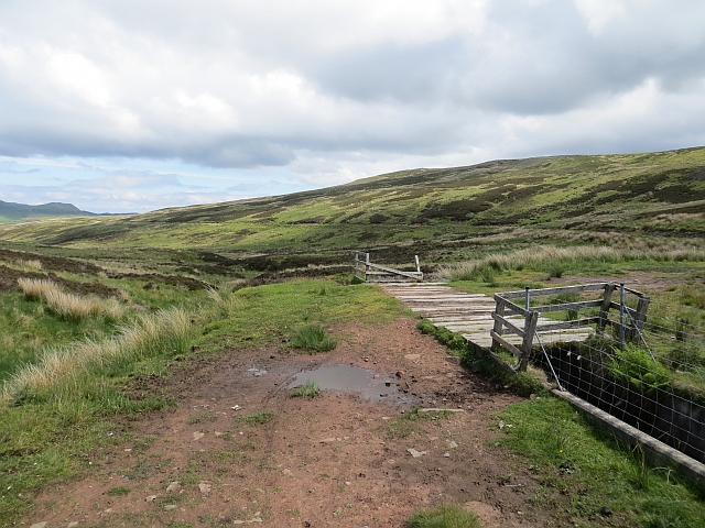
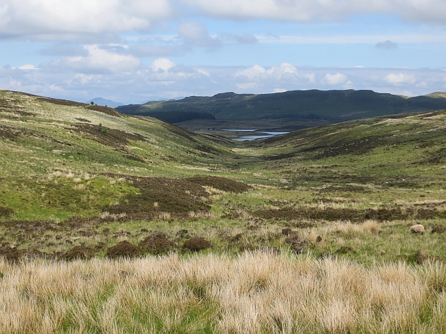
Brownhill Moss is a picturesque area located in Renfrewshire, Scotland. Spanning across a vast expanse of downs and moorland, it offers a stunning natural landscape that attracts both locals and tourists alike.
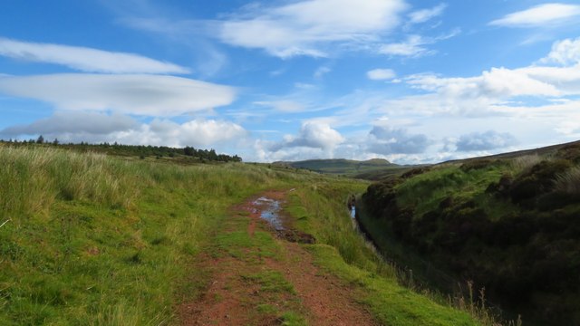
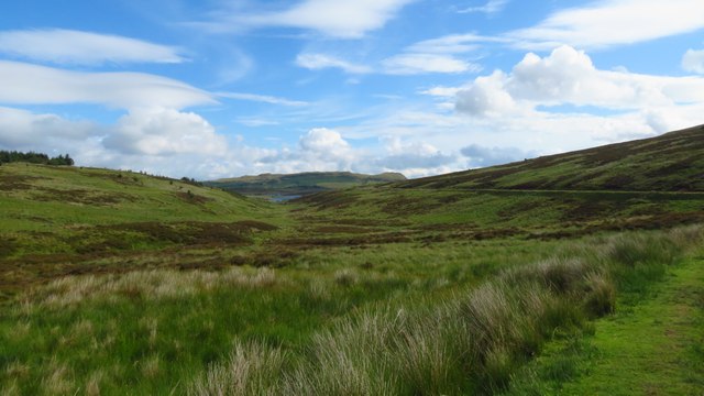
The downs of Brownhill Moss are characterized by rolling hills covered in lush greenery. The area is home to a variety of plant species, including heather, bracken, and gorse. These downs provide a habitat for numerous bird species, such as skylarks and meadow pipits, making it a popular spot for birdwatching enthusiasts.
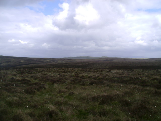
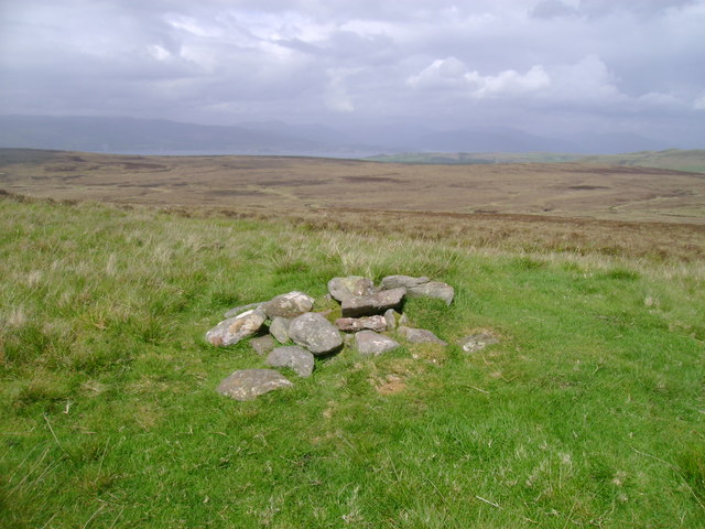
The moorland area of Brownhill Moss is a sight to behold. With its vast stretches of open land and peat bogs, it offers a unique and intriguing landscape. The moorland is adorned with a diverse range of flora, including cotton grass, bog moss, and wildflowers. It is also inhabited by various wildlife species, including deer, rabbits, and foxes.
Visitors to Brownhill Moss can enjoy a range of outdoor activities. The downs are ideal for hiking and walking, with several well-marked trails that allow visitors to explore the area at their own pace. The moorland provides an excellent backdrop for photography enthusiasts, with its dramatic scenery and ever-changing light.
Overall, Brownhill Moss is a natural haven that showcases the beauty of Renfrewshire's downs and moorland. Whether you are seeking outdoor adventure, wildlife spotting, or simply a peaceful retreat in nature, this area offers something for everyone.
If you have any feedback on the listing, please let us know in the comments section below.
Brownhill Moss Images
Images are sourced within 2km of 55.890615/-4.8185752 or Grid Reference NS2369. Thanks to Geograph Open Source API. All images are credited.


Brownhill Moss is located at Grid Ref: NS2369 (Lat: 55.890615, Lng: -4.8185752)
Unitary Authority: Inverclyde
Police Authority: Renfrewshire and Inverclyde
What 3 Words
///scored.mats.regress. Near Inverkip, Inverclyde
Nearby Locations
Related Wikis

Loch Thom
Loch Thom is a reservoir which since 1827 has provided a water supply to the town of Greenock in Inverclyde, Scotland. It is named after the civil engineer...

Inverkip
Inverkip (; Scottish Gaelic: Inbhir Chip) is a village and parish in the Inverclyde council area and historic county of Renfrewshire in the west central...

Inverkip railway station
Inverkip railway station is a railway station serving the village of Inverkip, Inverclyde, Scotland. The station is managed by ScotRail and is on the Inverclyde...
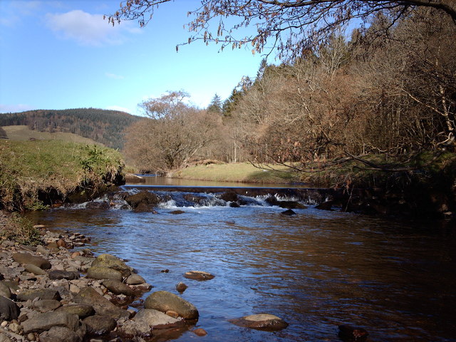
Kip Water, Inverclyde
Kip Water, also known as the River Kip, is a short river in Inverclyde, Scotland which gives the village of Inverkip its name (Inverkip = mouth of the...

Inverclyde (UK Parliament constituency)
Inverclyde is a parliamentary constituency of the House of Commons of the Parliament of the United Kingdom. It replaced Greenock and Inverclyde and the...
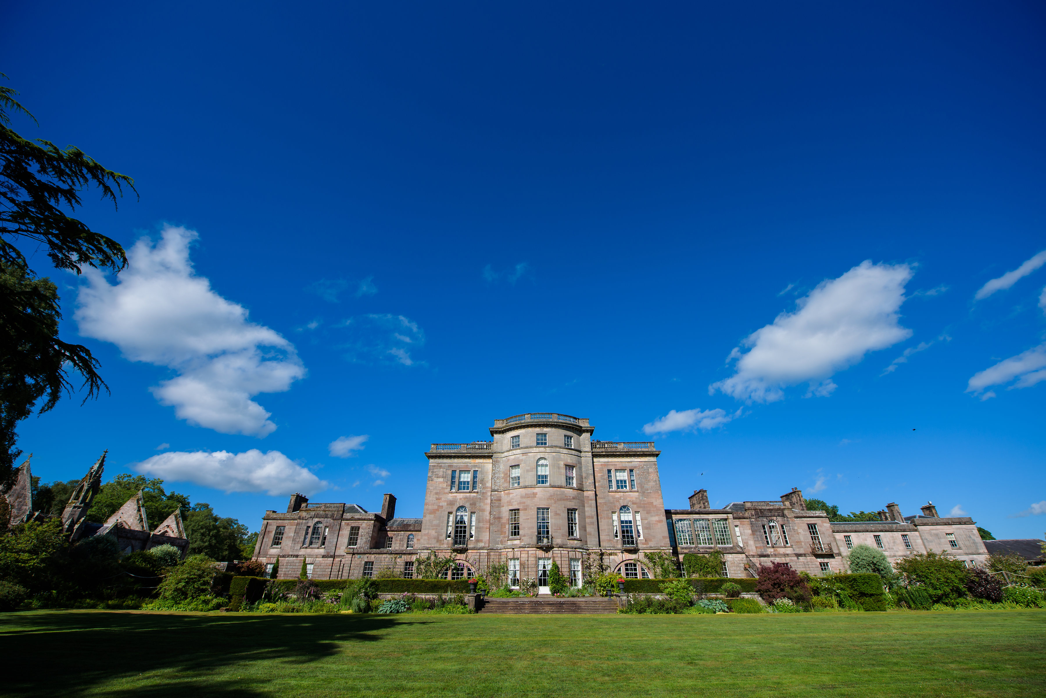
Ardgowan House
Ardgowan House, Castle & Gardens is a Privately owned late 18th-century mansion on the Firth of Clyde near Inverkip, Scotland. Ardgowan is located in Inverclyde...

Wemyss Bay
Wemyss Bay ( ) is a village on the coast of the Firth of Clyde in Inverclyde in the west central Lowlands of Scotland. It is in the traditional county...

IBM railway station
IBM railway station (formerly known as IBM Halt) is a currently disused railway station on the Inverclyde Line, 25+1⁄2 miles (41 km) west of Glasgow Central...
Nearby Amenities
Located within 500m of 55.890615,-4.8185752Have you been to Brownhill Moss?
Leave your review of Brownhill Moss below (or comments, questions and feedback).