Cairn Park
Downs, Moorland in Wigtownshire
Scotland
Cairn Park
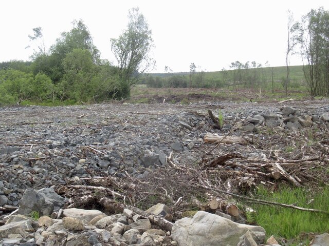
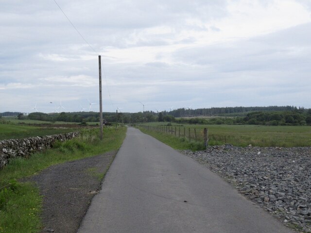
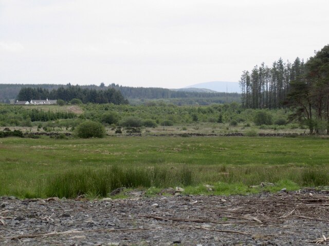
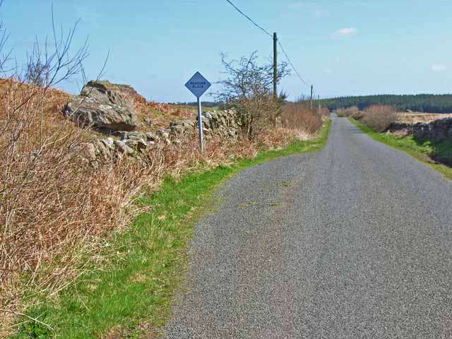
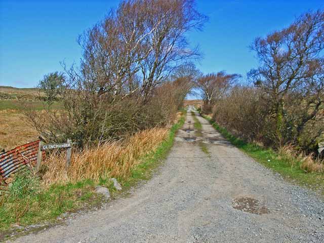
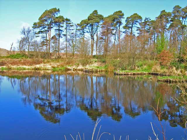
Cairn Park is a picturesque area located in Wigtownshire, a historic county in southwest Scotland. Nestled amidst the rolling Downs and Moorland, this serene park offers a tranquil escape from the bustling city life. The park spans a vast expanse, making it an ideal destination for nature enthusiasts and outdoor adventurers.
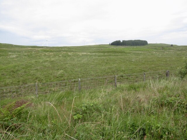
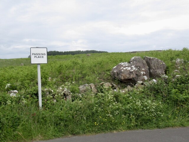
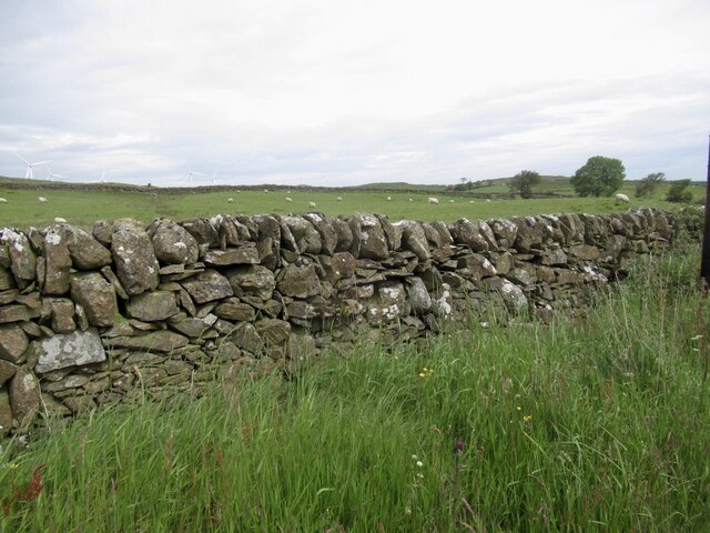
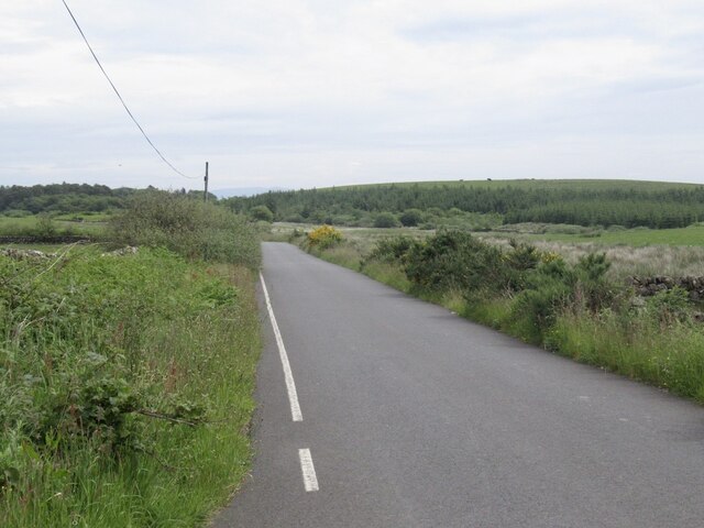
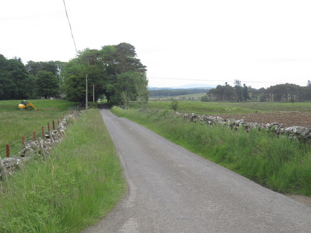
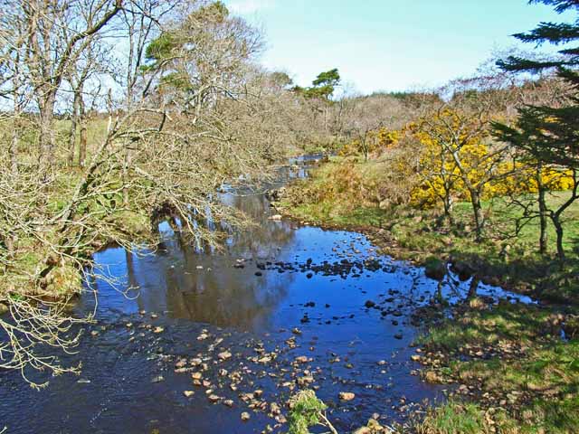
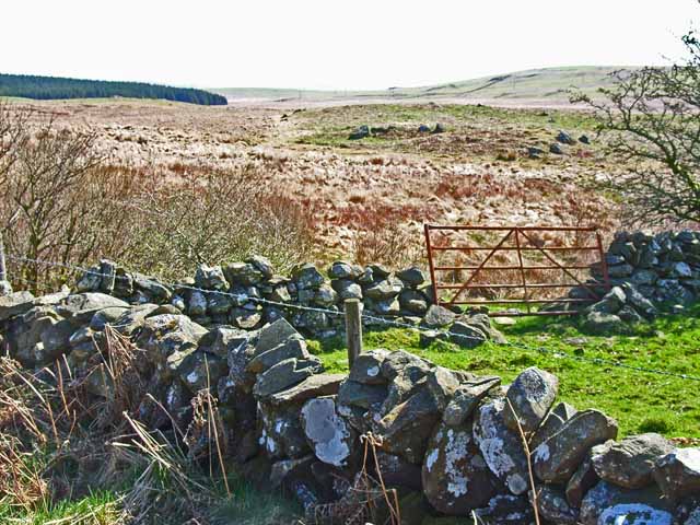
The Downs at Cairn Park are characterized by gently sloping hills and offer breathtaking views of the surrounding countryside. Visitors can embark on scenic hikes or leisurely walks along the well-maintained trails that wind through the park. The lush greenery, dotted with vibrant wildflowers in the spring and summer, provides a refreshing backdrop for picnics and leisurely strolls.
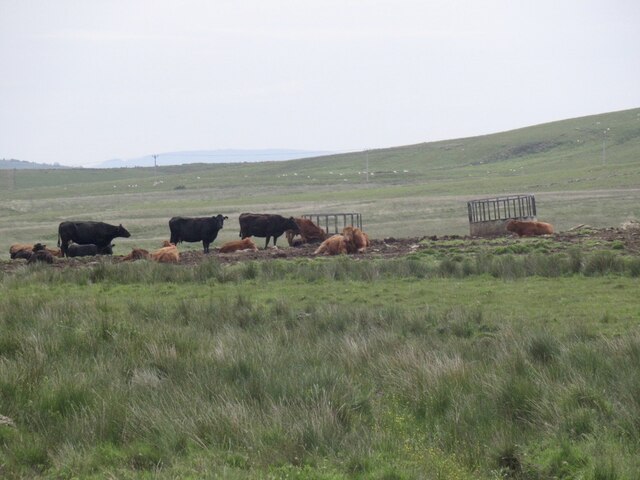
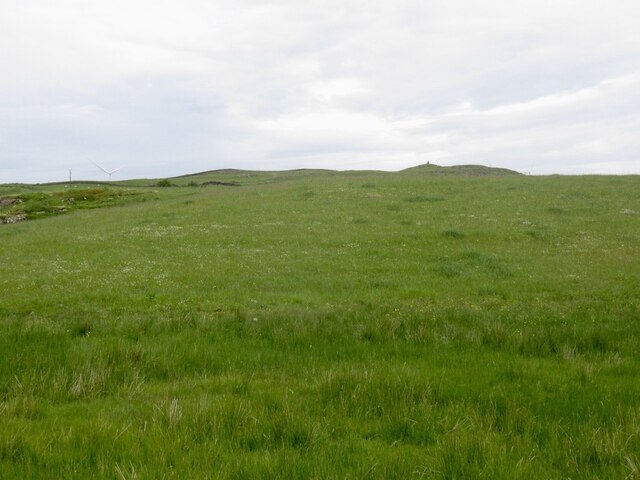
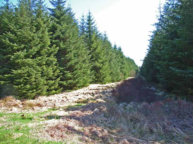
The Moorland section of Cairn Park is a unique ecological habitat, rich in biodiversity. Home to various species of birds, insects, and small mammals, it offers a haven for wildlife enthusiasts and birdwatchers. The moorland is adorned with heather plants, creating a stunning purple blanket that stretches as far as the eye can see.
Cairn Park is also rich in historical significance. The park is home to ancient cairns, burial mounds dating back to prehistoric times. These fascinating structures serve as a testament to the area's rich cultural heritage and offer visitors an opportunity to delve into the region's past.
Overall, Cairn Park in Wigtownshire offers visitors a perfect blend of natural beauty, tranquility, and historical intrigue. Whether exploring the Downs, immersing oneself in the Moorland, or uncovering the secrets of the ancient cairns, this park is a must-visit destination for anyone seeking a peaceful retreat in the heart of Scotland's enchanting countryside.
If you have any feedback on the listing, please let us know in the comments section below.
Cairn Park Images
Images are sourced within 2km of 54.942483/-4.7503869 or Grid Reference NX2364. Thanks to Geograph Open Source API. All images are credited.
Cairn Park is located at Grid Ref: NX2364 (Lat: 54.942483, Lng: -4.7503869)
Unitary Authority: Dumfries and Galloway
Police Authority: Dumfries and Galloway
What 3 Words
///jets.thickens.incur. Near Newton Stewart, Dumfries & Galloway
Nearby Locations
Related Wikis

Tarf Water, Wigtownshire
The Tarf Water is a river in the former county of Wigtownshire in south-west Scotland. It rises on the Ayrshire border (55.0048°N 4.7815°W / 55.0048;...

Barhapple Loch
Barhapple Loch is a small semicircular freshwater loch located in Wigtownshire, Dumfries and Galloway in Scotland. Barhapple Loch is principally known...

Mid Gleniron
Mid Gleniron is a prehistoric site in Dumfries and Galloway used in the Neolithic and Bronze Age. The site is a scheduled ancient monument that comprises...

New Luce
New Luce (Scottish Gaelic: Baile Ùr Ghlinn Lus) is a civil parish in Dumfries and Galloway, south-west Scotland. It lies in the traditional county of Wigtownshire...

New Luce railway station
New Luce railway station served the village of New Luce, Dumfries and Galloway, Scotland from 1887 to 1965 on the Girvan and Portpatrick Junction Railway...

Glenluce railway station
Glenluce station was a station open in 1862 on the former Port Road that was constructed on the Portpatrick and Wigtownshire Joint Railway. It served the...

Glenluce Abbey
Glenluce Abbey, near to Glenluce, Scotland, was a Cistercian monastery called also Abbey of Luce or Vallis Lucis and founded around 1190 by Rolland or...

Old Luce
Old Luce is a civil parish in Dumfries and Galloway, Scotland. It lies in the Machars peninsula, in the traditional county of Wigtownshire. The parish...
Nearby Amenities
Located within 500m of 54.942483,-4.7503869Have you been to Cairn Park?
Leave your review of Cairn Park below (or comments, questions and feedback).