Aiknut Hill

Hill, Mountain in Ayrshire

Scotland

Aiknut Hill

Mown field near Yonderfield By the road to Portencross, with the hills of Arran visible across the Firth of Clyde in the distance.
Mown field near Yonderfield Credit: Alan O'Dowd

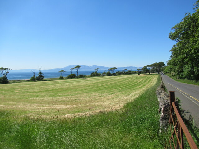
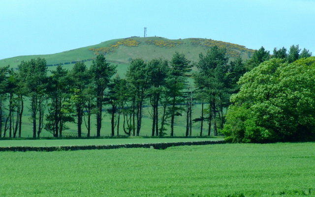
Aiknut Hill is a prominent hill located in Ayrshire, Scotland. Standing at an elevation of approximately 248 meters (814 feet), it is a prominent feature in the local landscape. The hill is situated near the village of Drongan, offering picturesque views of the surrounding countryside.

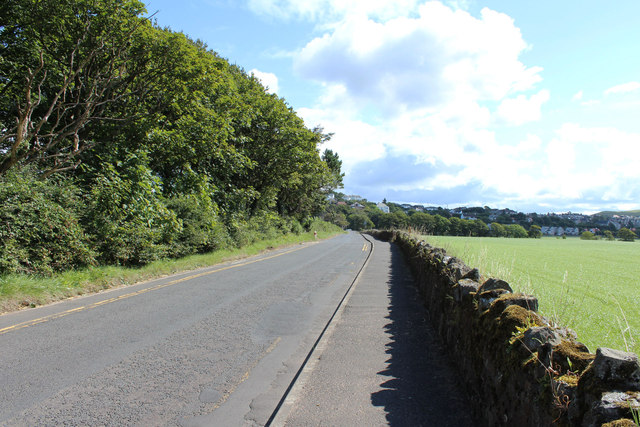
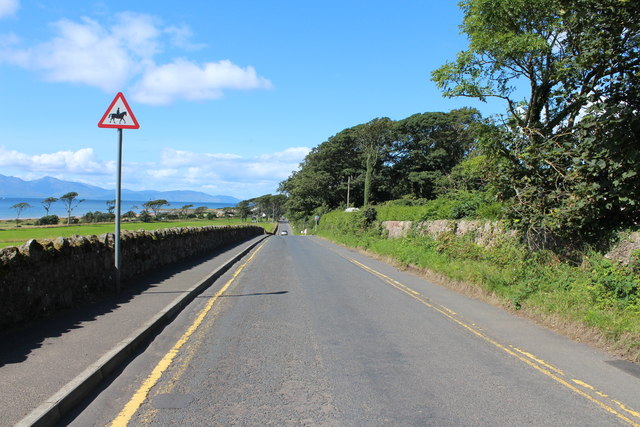
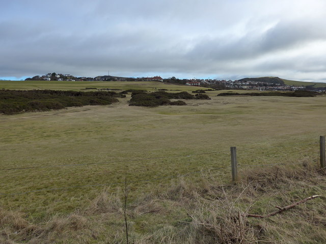
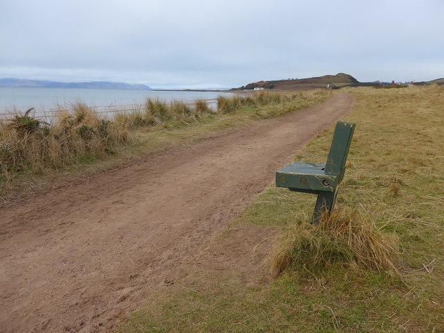
Aiknut Hill is characterized by its gently rolling slopes and lush green vegetation. The hill is primarily covered in grasses and heather, creating a vibrant display of colors throughout the year. Its well-defined paths and trails make it a popular destination for hikers and nature enthusiasts.

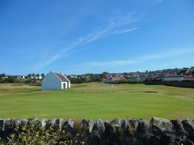
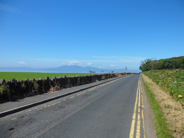
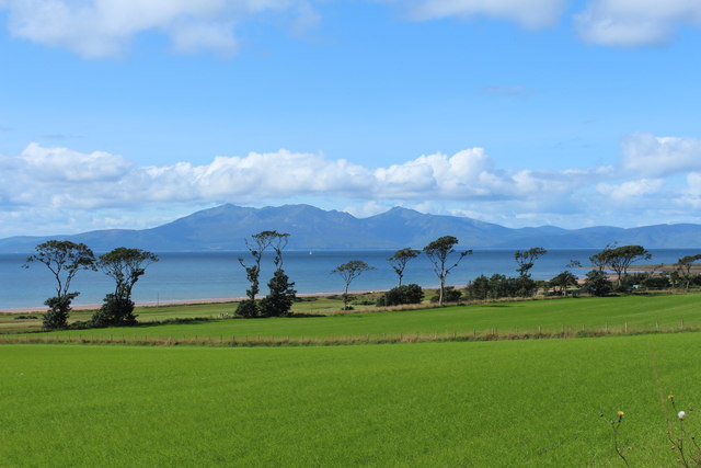
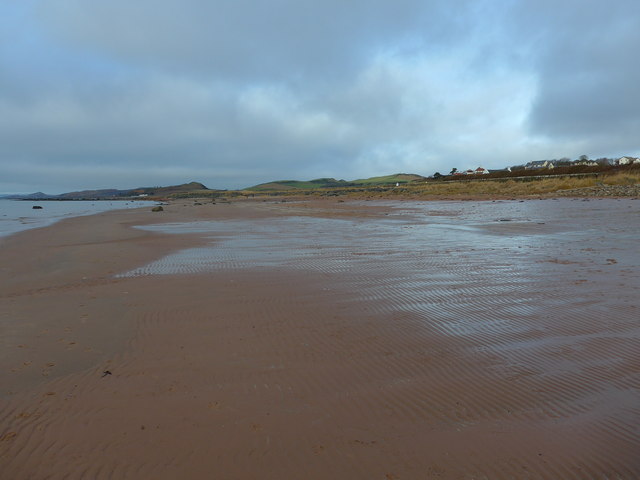
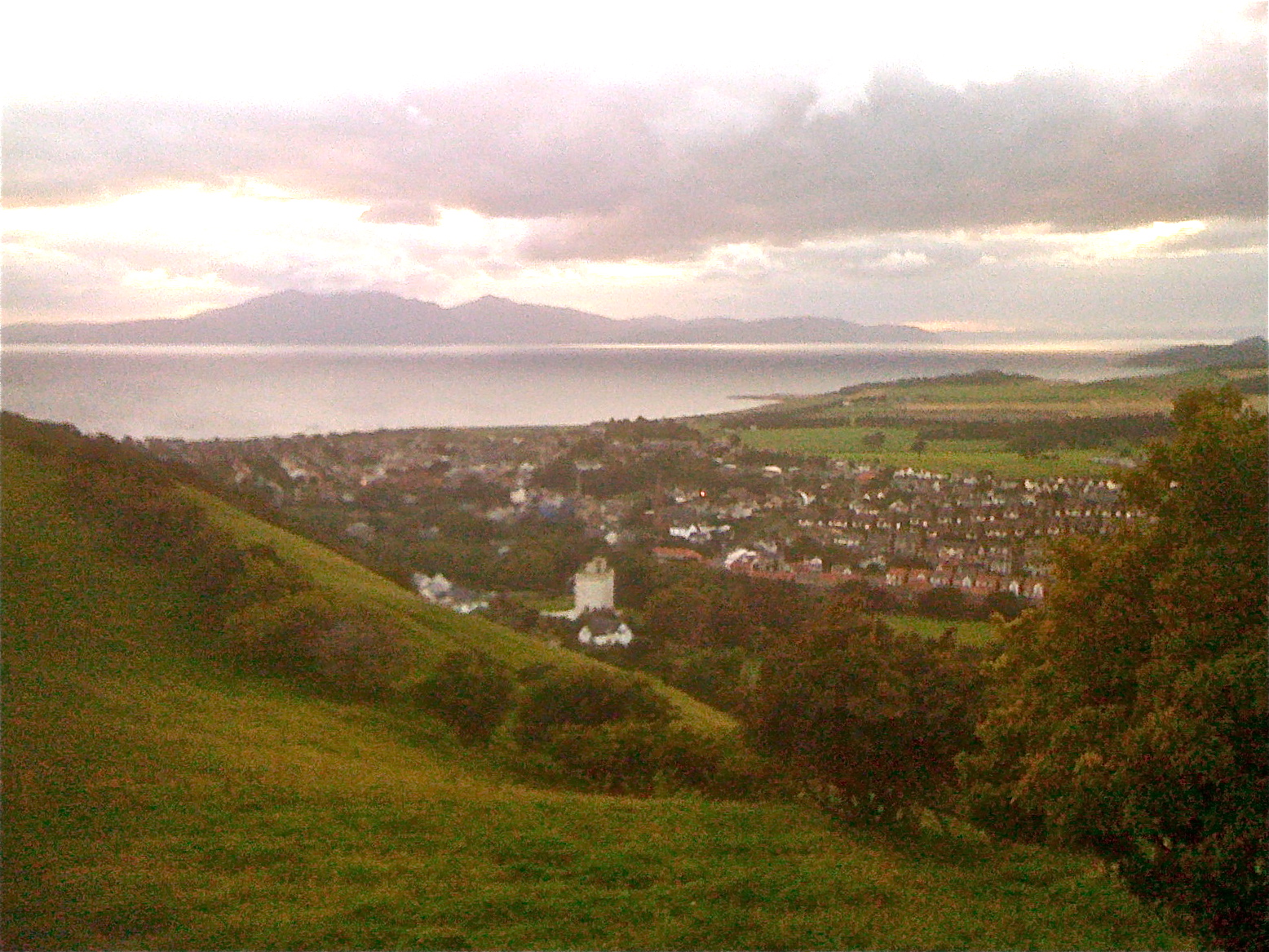
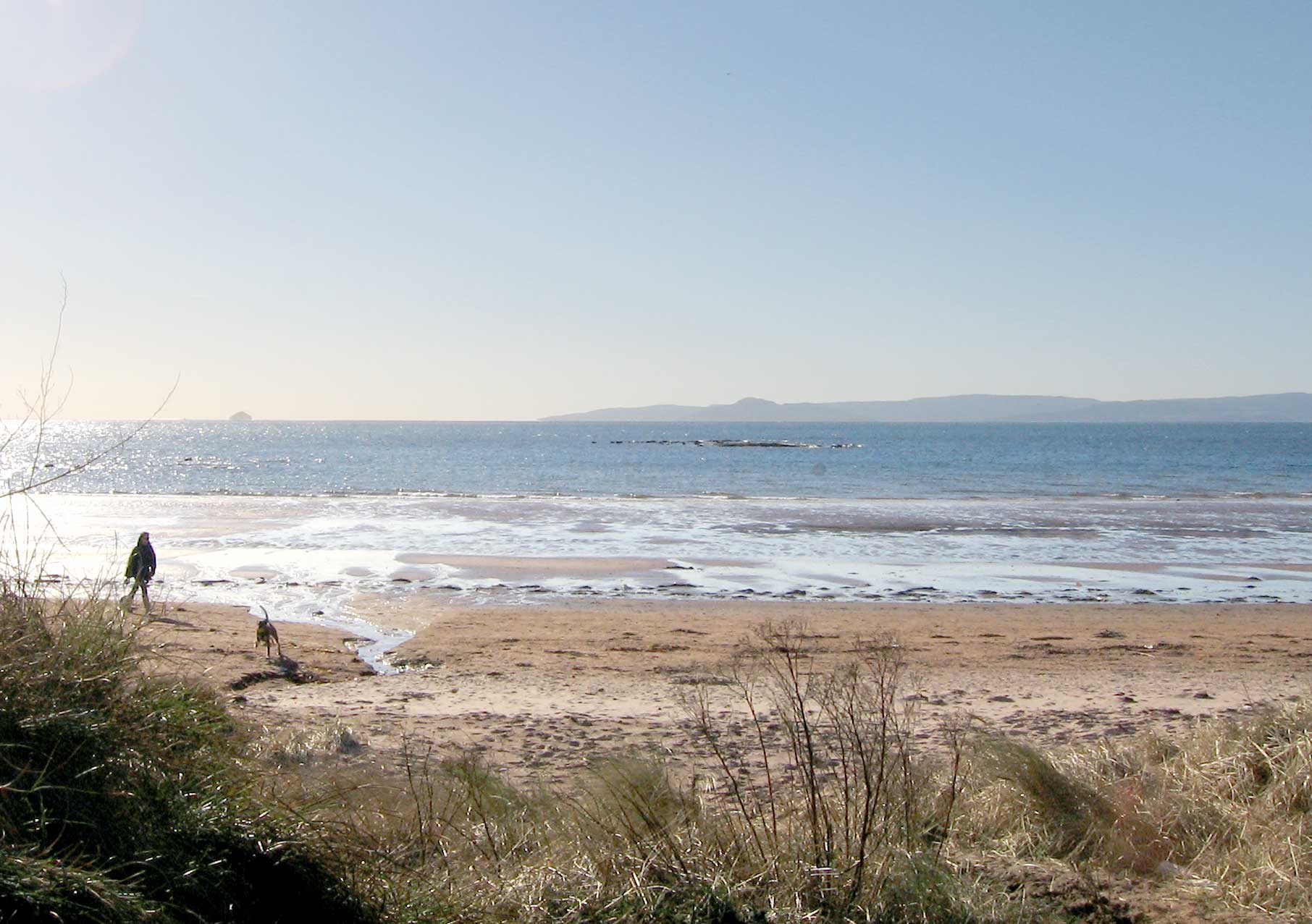
At the summit of Aiknut Hill, visitors can enjoy breathtaking panoramic views of the Ayrshire countryside. On a clear day, one can see the nearby towns and villages, as well as the sparkling waters of the Firth of Clyde in the distance. The hill provides a serene and tranquil setting, offering a peaceful retreat from the hustle and bustle of everyday life.

Aiknut Hill is also home to a variety of wildlife. The hill's diverse ecosystem supports a range of bird species, including pheasants, buzzards, and kestrels. Visitors may also spot rabbits, hares, and foxes, as well as a variety of insects and butterflies.

Overall, Aiknut Hill is a beautiful and accessible natural landmark in Ayrshire. Its stunning views, well-maintained trails, and rich biodiversity make it a popular destination for outdoor enthusiasts and nature lovers alike.

If you have any feedback on the listing, please let us know in the comments section below.

Aiknut Hill Images

Images are sourced within 2km of 55.689508/-4.8592021 or Grid Reference NS2047. Thanks to Geograph Open Source API. All images are credited.

Mown field near Yonderfield By the road to Portencross, with the hills of Arran visible across the Firth of Clyde in the distance.
Mown field near Yonderfield
By the road to Portencross, with the hills of Arran visible across the Firth of Clyde in the distance.
On the Ayrshire Coast Path at Ardneil Bay
Goldenberry Hill The 140m hill at Hunterston, viewed from the A78.
Goldenberry Hill
The 140m hill at Hunterston, viewed from the A78.
On the beach at West Kilbride Almost deserted on a chilly day
On the beach at West Kilbride
Almost deserted on a chilly day
West Kilbride Golf Course Looking in from the path along the shore.
West Kilbride Golf Course
Looking in from the path along the shore.
Portencross Road Looking towards the Isle of Arran.  The upcoming road sign warns of the staggered junction approaching at Yonderfield.
Portencross Road
Looking towards the Isle of Arran. The upcoming road sign warns of the staggered junction approaching at Yonderfield.
Silage stack A big pile of winter fodder in the form of round bale silage by Yonderfield.
Silage stack
A big pile of winter fodder in the form of round bale silage by Yonderfield.
Beach and path, West Kilbride Path at the end of Fullerton Drive.
Beach and path, West Kilbride
Path at the end of Fullerton Drive.
Portencross Road junction ahead From A78 north
Portencross Road junction ahead
From A78 north
A78 passing Bogriggs
Houses on Snowdon Terrace, Seamill
Farmland at Yonderfield, Portencross With lovely view of Arran.
Farmland at Yonderfield, Portencross
With lovely view of Arran.
Road to West Kilbride at Yonderfield
Road to Portencross Castle
On the shore at West Kilbride Golf Club Looking north to Bastian Craig.
On the shore at West Kilbride Golf Club
Looking north to Bastian Craig.
Looking over West Kilbride Golf Course The houses of West Kilbride in the distance.
Looking over West Kilbride Golf Course
The houses of West Kilbride in the distance.
On the Ayrshire Coastal Path Heading towards Portencross, with Auld Hill showing on the horizon.
On the Ayrshire Coastal Path
Heading towards Portencross, with Auld Hill showing on the horizon.
Sewage developments (?) north of West Kilbride There are also markers for what looks like a pipeline to cross the beach and enter the sea.
Sewage developments (?) north of West Kilbride
There are also markers for what looks like a pipeline to cross the beach and enter the sea.
Show me another place!

Aiknut Hill is located at Grid Ref: NS2047 (Lat: 55.689508, Lng: -4.8592021)

Unitary Authority: North Ayrshire

Police Authority: Ayrshire

What 3 Words

///banquets.trader.skews. Near West Kilbride, North Ayrshire

Related Wikis

West Kilbride

West Kilbride (Scottish Gaelic: Cille Bhrìghde an Iar) is a village and historic parish in North Ayrshire, Scotland, on the west coast by the Firth of...

Seamill

Seamill is a village in North Ayrshire on the west coast of Scotland, about 5 miles north of Ardrossan and 8 miles south of Largs, on the east coast of...

West Kilbride railway station

West Kilbride railway station is a railway station that serves the village of West Kilbride, North Ayrshire, Scotland. The station is managed by ScotRail...

Law Castle

Law Castle is situated on the lower slopes of Law Hill on the edge of West Kilbride, in North Ayrshire, Scotland. It is around 200 metres (660 ft) from...

Law Hill

Law Hill is a hill in the North Ayrshire town of West Kilbride, overlooking the Firth of Clyde and the hills of Arran beyond. The summit rises above the...
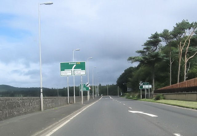
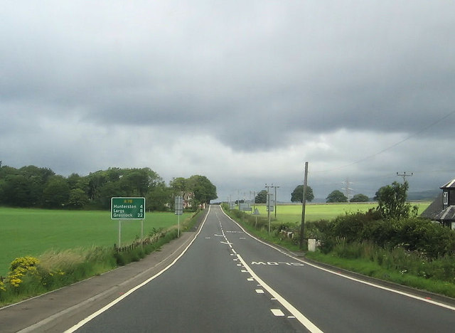
A78 road

The A78 is an A road in Scotland. It connects Greenock and Prestwick on a route which follows the northern section of the Ayrshire coast. == Route... ==

Portencross

Portencross (Scottish Gaelic: Port na Crois) is a hamlet near Farland Head in North Ayrshire, Scotland. Situated about three kilometres (two miles) west...

Portencross Castle

Portencross Castle, also known historically as Portincross Castle, is situated in Portencross, on the west coast of Scotland, about 3 km from West Kilbride...

Related Videos

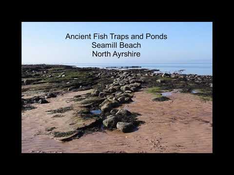
The Ancient Seamill Fish Traps and Ponds, North Ayrshire

Fish Traps or Yairs were built up to 3000 years ago as this section of coastline has many red sandstone terraces, basalt dykes and ...

Nearby Amenities

Located within 500m of 55.689508,-4.8592021
Traffic Signals
Traffic Signals: signal
Lat/Long: 55.6894904/-4.8643164
Turning Circle
Lat/Long: 55.6923003/-4.8624525
Turning Circle
Lat/Long: 55.6898326/-4.8522729
Turning Circle
Lat/Long: 55.6893417/-4.8514887
Source: Bing
Lat/Long: 55.6881272/-4.8663492
Turning Circle
Lat/Long: 55.6887711/-4.8657221
Post Box
Post Box Design: type_k
Post Box Type: pillar
Ref: KA23 26
Royal Cypher: scottish_crown
Lat/Long: 55.6867649/-4.863035
Post Box
Ref: KA23 184
Lat/Long: 55.6894978/-4.8600289
Post Box
Post Box Type: wall
Ref: KA23 12D
Royal Cypher: GR
Royal Cypher Wikidata: Q33102273
Lat/Long: 55.6911337/-4.8638806
Post Box
Ref: KA23 57
Lat/Long: 55.6892387/-4.8670092
Post Box
Brand: Royal Mail
Brand Wikidata: Q638098
Mapillary: 992291975523679
Operator: Royal Mail
Operator Wikidata: Q638098
Post Box Type: pillar
Ref: KA23 96
Survey Date: 2023-05-23
Lat/Long: 55.6907279/-4.8653623
Leisure: sports_centre
Sport: soccer
Lat/Long: 55.6914591/-4.8542009
Police
Lat/Long: 55.693624/-4.8592327
War Memorial
Historic: memorial
Memorial: war_memorial
Lat/Long: 55.692342/-4.8617218
Turning Circle
Lat/Long: 55.6928594/-4.8624268
Cafe
Ayrshire Tea House
Cuisine: tea_shop
Lat/Long: 55.6932887/-4.8605859
Timberbooks
Addr Postcode: KA23 9HF
Shop: books
Lat/Long: 55.6932615/-4.8605671
Crossing
Crossing: uncontrolled
Crossing Ref: zebra
Source: survey
Lat/Long: 55.6931494/-4.8619039
Bench
Lat/Long: 55.6929816/-4.8599601
Power: pole
Lat/Long: 55.6865893/-4.8536753
Bus Stop
Bus: yes
Naptan AtcoCode: 6170464
Naptan NaptanCode: 62923724
Public Transport: platform
Shelter: yes
Lat/Long: 55.6887305/-4.864052
Crossing
Crossing: traffic_signals
Crossing Island: no
Tactile Paving: yes
Lat/Long: 55.6896116/-4.8641753
Crossing
Crossing: traffic_signals
Crossing Island: no
Tactile Paving: yes
Lat/Long: 55.6896201/-4.8644035
Crossing
Crossing: traffic_signals
Crossing Island: no
Tactile Paving: yes
Lat/Long: 55.6894065/-4.8644882
Crossing
Crossing: traffic_signals
Crossing Island: no
Tactile Paving: yes
Lat/Long: 55.6894095/-4.8642749
Bus Stop
Bench: no
Bus: yes
Naptan AtcoCode: 6170734
Naptan NaptanCode: 62923852
Public Transport: platform
Shelter: no
Lat/Long: 55.6918384/-4.8657908
Bus Stop
Bench: no
Bus: yes
Public Transport: platform
Shelter: no
Lat/Long: 55.6917257/-4.8658833
Power: pole
Lat/Long: 55.6870961/-4.8533614
Power: pole
Lat/Long: 55.6881647/-4.8520532
Power: pole
Lat/Long: 55.6888223/-4.8521365
The data included in this document is from www.openstreetmap.org. The data is made available under ODbL.

Have you been to Aiknut Hill?

Leave your review of Aiknut Hill below (or comments, questions and feedback).