Beinn Bhuidhe

Hill, Mountain in Argyllshire

Scotland

Beinn Bhuidhe

Summit cairn and ruined trig point, Beinn Bhuidhe
Summit cairn and ruined trig point, Beinn Bhuidhe Credit: Steven Brown

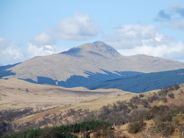
Beinn Bhuidhe is a prominent hill located in Argyllshire, Scotland. Standing at an impressive height of 948 meters (3,110 feet), it is classified as a Corbett, which means it falls just short of being considered a Munro, the highest classification for a Scottish mountain.

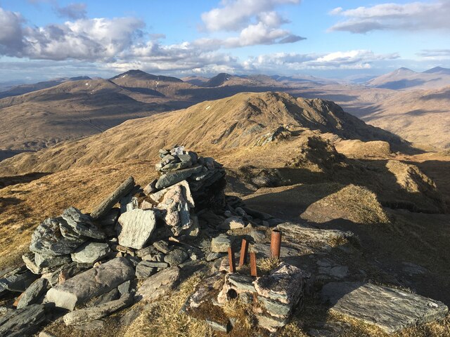
Situated in the southern Highlands, Beinn Bhuidhe offers breathtaking panoramic views of the surrounding landscape. Its isolated location and challenging ascent make it a popular destination for experienced hikers and mountaineers seeking a more remote and rewarding experience.

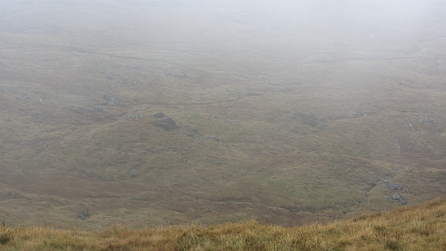
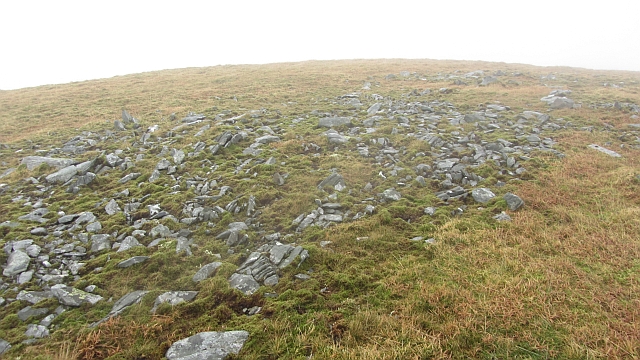
The hill is characterized by its distinctive cone-shaped peak, which is often shrouded in mist. Its slopes are covered in heather and peat bog, providing shelter for a variety of wildlife, including red deer, mountain hares, and golden eagles. The area is also home to several rare plant species, such as the Scottish primrose and alpine bearberry.

The main route to the summit begins at the southern end of Loch Fyne, near the village of Cairndow. The trail follows a steep and rocky path, requiring a moderate level of fitness and navigation skills. As hikers ascend, they are treated to breathtaking views of Loch Fyne and the surrounding mountains.

Reaching the summit of Beinn Bhuidhe rewards climbers with a magnificent vista that stretches as far as the Isle of Arran and the Kintyre Peninsula. On clear days, it is even possible to glimpse the shimmering waters of the Atlantic Ocean in the distance.

Overall, Beinn Bhuidhe offers a challenging yet rewarding hiking experience, combined with stunning natural beauty and wildlife encounters, making it a popular destination for outdoor enthusiasts seeking an authentic Scottish mountain adventure.

If you have any feedback on the listing, please let us know in the comments section below.

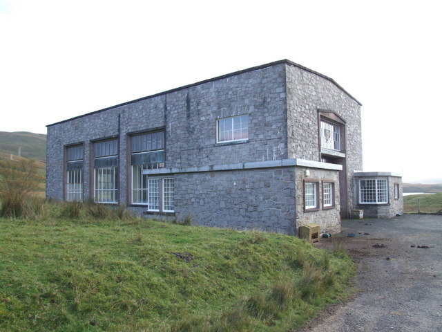
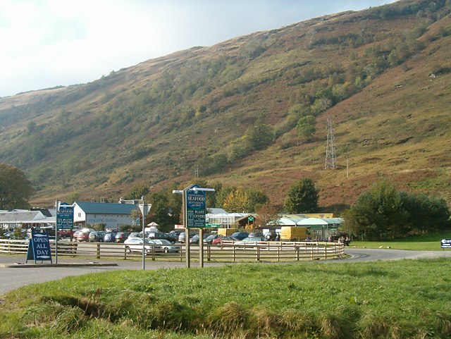
Beinn Bhuidhe Images

Images are sourced within 2km of 56.326691/-4.9067265 or Grid Reference NN2018. Thanks to Geograph Open Source API. All images are credited.

Summit cairn and ruined trig point, Beinn Bhuidhe
Summit of Beinn Bhuidhe Cairn and ruined trig pillar on the summit of the Munro.
Summit of Beinn Bhuidhe
Cairn and ruined trig pillar on the summit of the Munro.
Head of Glen Shira Looking across the head of Glen Shira to the northern slopes of Beinn Bhuidhe, almost at the watershed between Glen Shira and Glen Fyne (to the left).
Head of Glen Shira
Looking across the head of Glen Shira to the northern slopes of Beinn Bhuidhe, almost at the watershed between Glen Shira and Glen Fyne (to the left).
The main falls, Allt na Faing The high waterfall at the head of the gorge. A highlight of the climb up Beinn Bhuidhe. In the first winter of 2010 (and probably the second too) it froze solid. Hopefully someone got an ascent. Today after months of rain (it was raining while I took this) the falls were pretty full and a glorious sight.
The main falls, Allt na Faing
The high waterfall at the head of the gorge. A highlight of the climb up Beinn Bhuidhe. In the first winter of 2010 (and probably the second too) it froze solid. Hopefully someone got an ascent. Today after months of rain (it was raining while I took this) the falls were pretty full and a glorious sight.
A boggy plateau above Glen Fyne Knobbly and damp moorland with a lot of exposed rock situated on a plateau at about 600m asl. This is between Glen Fyne and the long ridge of Beinn Bhuidhe.
A boggy plateau above Glen Fyne
Knobbly and damp moorland with a lot of exposed rock situated on a plateau at about 600m asl. This is between Glen Fyne and the long ridge of Beinn Bhuidhe.
Grassy slopes of Beinn Bhuidhe Comments were made at the summit of Beinn Bhuidhe about my getting lost or losing the path. Of course I was after filling in a bit of the map and made a detour into NN2017. The Fyne side of Beinn Bhuidhe is in three parts: a steep lower slope due to the overdeepening of the glen, the steep flanks of the summit ridge and between a grassy, boggy plateau. This is one of the drier bits with cloud still lying in the glen.
Grassy slopes of Beinn Bhuidhe
Comments were made at the summit of Beinn Bhuidhe about my getting lost or losing the path. Of course I was after filling in a bit of the map and made a detour into NN2017. The Fyne side of Beinn Bhuidhe is in three parts: a steep lower slope due to the overdeepening of the glen, the steep flanks of the summit ridge and between a grassy, boggy plateau. This is one of the drier bits with cloud still lying in the glen.
A boggy pool The plateau between the Beinn Bhuidhe ridge and Glen Fyne is quite boggy. Here one of the pools forms a foreground for a view over to Meall an Fhudair.
A boggy pool
The plateau between the Beinn Bhuidhe ridge and Glen Fyne is quite boggy. Here one of the pools forms a foreground for a view over to Meall an Fhudair.
Bogs on Beinn Bhuidhe The boggy plateau between two steep slopes above Glen Fyne.
Bogs on Beinn Bhuidhe
The boggy plateau between two steep slopes above Glen Fyne.
Bogs and rocks on Beinn Bhuidhe There is a break in the steep slopes running up from Glen Fyne to the long ridge of Beinn Bhuidhe. The flatter land is full of pools and bogs with numerous ice smoothed rock outcrops.  Cloud is moving through Glen Fyne, formed from the overnight fogs on Loch Fyne.

Look carefully and you can see an early starter walking down the hill.
Bogs and rocks on Beinn Bhuidhe
There is a break in the steep slopes running up from Glen Fyne to the long ridge of Beinn Bhuidhe. The flatter land is full of pools and bogs with numerous ice smoothed rock outcrops. Cloud is moving through Glen Fyne, formed from the overnight fogs on Loch Fyne. Look carefully and you can see an early starter walking down the hill.
Coire Buidhe A misty view into the corrie from the ridge between the two 900m tops of Beinn Bhuidhe.
Coire Buidhe
A misty view into the corrie from the ridge between the two 900m tops of Beinn Bhuidhe.
East top, Beinn Bhuidhe The slightly lower top of Beinn Bhuidhe has an unmarked summit at about 901m.
East top, Beinn Bhuidhe
The slightly lower top of Beinn Bhuidhe has an unmarked summit at about 901m.
Allt na Faing The burn below the main falls. The Allt na Faing falls steeply into the deep Glen Fyne from the slopes of Beinn Bhuidhe.
Allt na Faing
The burn below the main falls. The Allt na Faing falls steeply into the deep Glen Fyne from the slopes of Beinn Bhuidhe.
A boggy plateau above Glen Fyne Hummocky and wet ground between the steep upper slopes of Beinn Bhuidhe and the equally steep flanks of Glen Fyne.
A boggy plateau above Glen Fyne
Hummocky and wet ground between the steep upper slopes of Beinn Bhuidhe and the equally steep flanks of Glen Fyne.
Beinn Bhuidhe Beinn Bhuidhe has a reputation for being hard to see from close up, being hidden by extensive moorlands.  This close to the summit it is possible to see the hill and the very steep flanking slopes.
Beinn Bhuidhe
Beinn Bhuidhe has a reputation for being hard to see from close up, being hidden by extensive moorlands. This close to the summit it is possible to see the hill and the very steep flanking slopes.
Slopes of Beinn Bhuidhe Steep slopes above the gathering grounds for the Allt na Faing. The route in the SMC guide goes up the gully below the central skyline notch, although it is possible to use the less steep slopes to the right. The misty summit is the 901m north top.
Slopes of Beinn Bhuidhe
Steep slopes above the gathering grounds for the Allt na Faing. The route in the SMC guide goes up the gully below the central skyline notch, although it is possible to use the less steep slopes to the right. The misty summit is the 901m north top.
Triangulation pillar, Beinn Bhuidhe The pillar has fallen over. It was a stone built one, I am unsure if the stud survived.
Triangulation pillar, Beinn Bhuidhe
The pillar has fallen over. It was a stone built one, I am unsure if the stud survived.
Top surface,  Beinn Bhuidhe triangulation pillar The stone built pillar has fallen over. The metal work on the top has also been stolen.
Top surface, Beinn Bhuidhe triangulation pillar
The stone built pillar has fallen over. The metal work on the top has also been stolen.
Fallen triangulation pillar, Beinn Bhuidhe The pillar has fallen over and some of its metalwork stolen.
Fallen triangulation pillar, Beinn Bhuidhe
The pillar has fallen over and some of its metalwork stolen.
Show me another place!

Beinn Bhuidhe is located at Grid Ref: NN2018 (Lat: 56.326691, Lng: -4.9067265)

Unitary Authority: Argyll and Bute

Police Authority: Argyll and West Dunbartonshire

What 3 Words

///helpfully.smoke.summit. Near Inveraray, Argyll & Bute

Nearby Locations

Beinn Bhuidhe

Related Wikis

Beinn Bhuidhe (Glen Fyne)

Beinn Bhuidhe is a mountain near the head of Loch Fyne in Argyll in the Scottish Highlands. It is a Munro with a height of 948 metres (3,110 ft). ��2...

Allt na Lairige Dam

Allt na Lairige Dam (Burn of the Pass), is a pre-stressed concrete dam in Argyll and Bute, Scotland at grid reference NN25251745. It creates an impounding...

Shira Hydro-Electric Scheme

The Shira Hydro-Electric Scheme is a project initiated by the North of Scotland Hydro-Electric Board to use the waters of the River Shira, the River Fyne...

Loch Fyne Oysters

Loch Fyne Oysters is a seafood and meat company that operates on the banks of Loch Fyne, Scotland. The company created the Loch Fyne Restaurants chain...

Nearby Amenities

Located within 500m of 56.326691,-4.9067265
Beinn Bhuidhe
Description: Yellow hill
Ele: 948
Marilyn: yes
Munro: yes
Munro Number: M216
Name Gd: A' Bheinn Bhuidhe
Natural: peak
Prominence: 592
Source: NPE
Wikidata: Q41204
Wikipedia: en:Beinn Bhuidhe (Glen Fyne)
Lat/Long: 56.3266908/-4.9067779
The data included in this document is from www.openstreetmap.org. The data is made available under ODbL.

Have you been to Beinn Bhuidhe?

Leave your review of Beinn Bhuidhe below (or comments, questions and feedback).