Marros Beacon
Hill, Mountain in Carmarthenshire
Wales
Marros Beacon

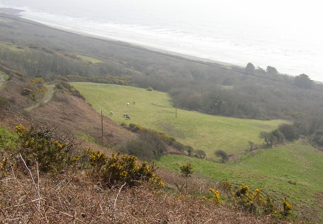
Marros Beacon, located in Carmarthenshire, Wales, is a prominent hill and mountain that offers breathtaking views of the surrounding countryside. Standing at an elevation of 214 meters (702 feet), it is a popular destination for hikers, nature enthusiasts, and photographers.
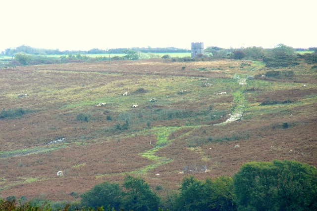
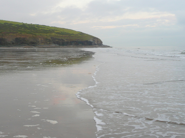
This natural landmark is easily accessible, situated just a few miles southwest of Pendine Sands, a famous beach known for its wide expanse of golden sand and thrilling land speed records. Marros Beacon itself is characterized by its distinctive conical shape, covered in lush green vegetation, which adds to its charm and allure.
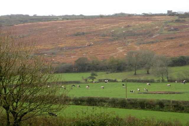
The hill is renowned for its panoramic vistas, offering sweeping views of the rugged coastline, the expansive Carmarthen Bay, and the rolling Welsh countryside. On a clear day, visitors can even catch a glimpse of the distant Gower Peninsula. The summit of Marros Beacon serves as an ideal spot for picnics, allowing visitors to soak in the stunning scenery while enjoying a meal.
For those who love outdoor activities, Marros Beacon also offers fantastic opportunities for hiking and nature walks. A network of well-marked trails winds through the surrounding area, allowing visitors to explore the diverse flora and fauna that call this place home.
Whether you're a nature lover or simply seeking a tranquil escape, Marros Beacon in Carmarthenshire is a must-visit destination. Its natural beauty, coupled with its accessibility and recreational opportunities, make it a perfect spot for a day trip or a longer stay in the picturesque Welsh countryside.
If you have any feedback on the listing, please let us know in the comments section below.
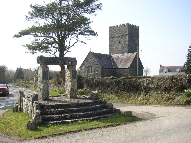
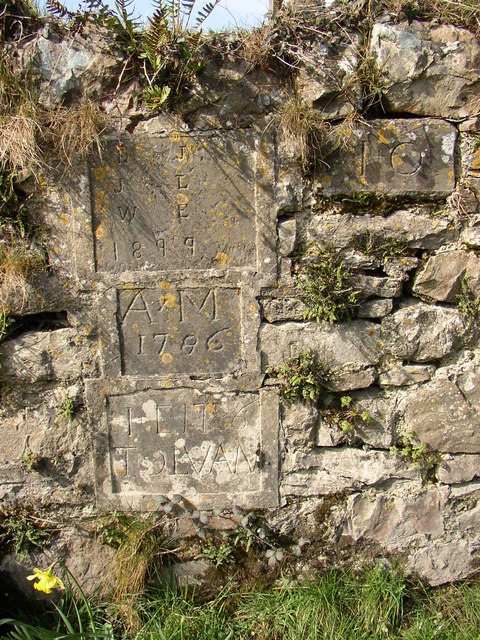
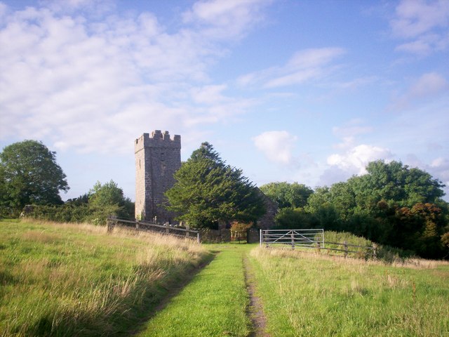
Marros Beacon Images
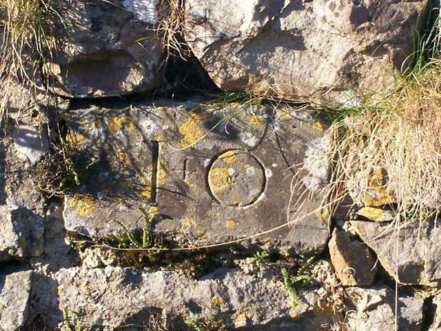
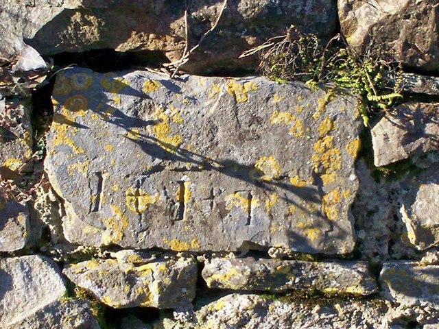
Images are sourced within 2km of 51.742016/-4.6031456 or Grid Reference SN2008. Thanks to Geograph Open Source API. All images are credited.


Marros Beacon is located at Grid Ref: SN2008 (Lat: 51.742016, Lng: -4.6031456)
Unitary Authority: Carmarthenshire
Police Authority: Dyfed Powys
What 3 Words
///taker.nightcap.fully. Near Saundersfoot, Pembrokeshire
Nearby Locations
Related Wikis
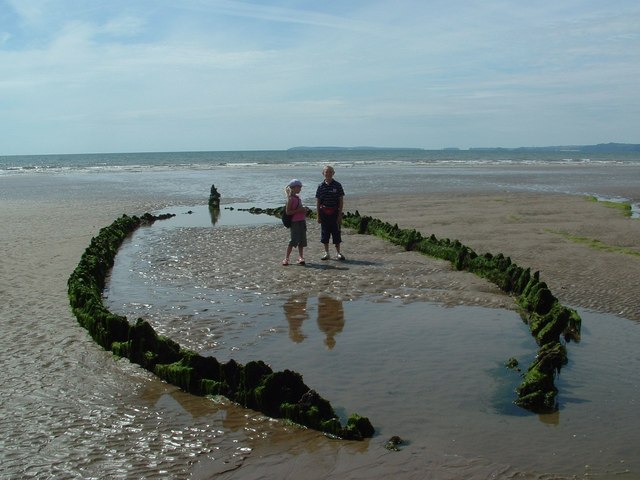
Marros Sands
Marros Sands is a beach in Carmarthenshire between Amroth and Pendine and to the south of the small settlement of Marros. The beach is separated from Amroth...
Telpyn Point
Telpyn Point is a headland on the Carmarthenshire coast, Wales. Set at the back of Carmarthen Bay, to its east are Marros Sands and to the west a beach...

Pendine
Pendine (Welsh: Pentywyn, "end of the dunes") is a village and community in Carmarthenshire, Wales. Situated on the northern shore of Carmarthen Bay and...
Llanteg
Llanteg (also previously known, and still regularly pronounced, as Lanteague) is a small village in Pembrokeshire, Wales, belonging to the community of...
Nearby Amenities
Located within 500m of 51.742016,-4.6031456Have you been to Marros Beacon?
Leave your review of Marros Beacon below (or comments, questions and feedback).