Aldons Hill

Hill, Mountain in Ayrshire

Scotland

Aldons Hill

River Stinchar Near Pinmore Bridge
River Stinchar Near Pinmore Bridge Credit: Iain Thompson

Aldons Hill is a prominent hill located in the county of Ayrshire, Scotland. It is situated near the small village of Aldons, which is approximately 10 miles southeast of Ayr. Standing at an elevation of 1,257 feet (383 meters), it is considered one of the highest peaks in the region.

The hill is a popular destination for hikers and outdoor enthusiasts due to its rugged terrain and stunning panoramic views. Its slopes are covered in a mix of heather, grasses, and scattered trees, offering a diverse and picturesque landscape.

At the summit of Aldons Hill, visitors are rewarded with breathtaking vistas of the surrounding countryside. On clear days, it is possible to see as far as the coast and even the Isle of Arran in the distance. The hill's strategic location provides an excellent vantage point for birdwatching, as various species can be spotted soaring above the adjacent moorlands.

Aldons Hill is easily accessible by foot, with several well-marked trails leading up to its summit. These paths cater to both experienced hikers looking for a challenging ascent and casual walkers seeking a more leisurely stroll. Local authorities have taken steps to ensure the preservation of the area's natural beauty, maintaining the trails and providing informative signage along the way.

Overall, Aldons Hill offers a memorable outdoor experience for nature enthusiasts, providing a blend of scenic beauty, wildlife, and recreational activities in the heart of Ayrshire.

If you have any feedback on the listing, please let us know in the comments section below.
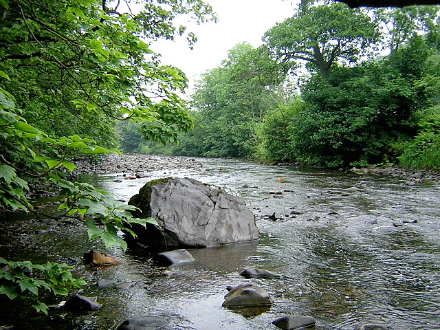
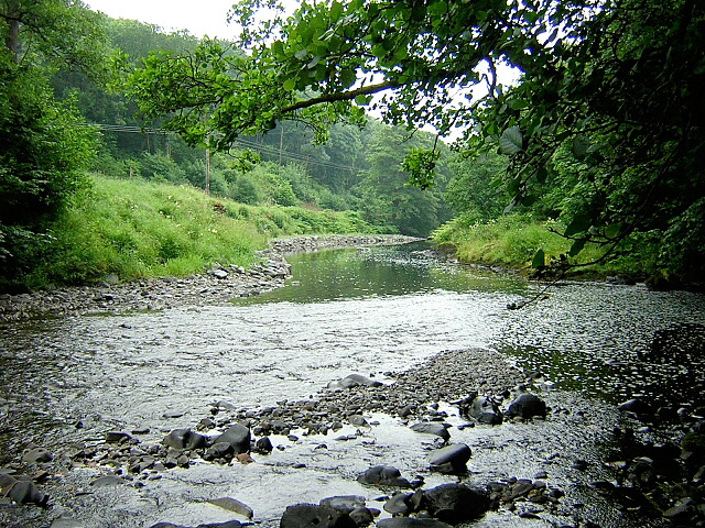
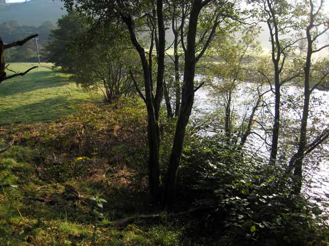
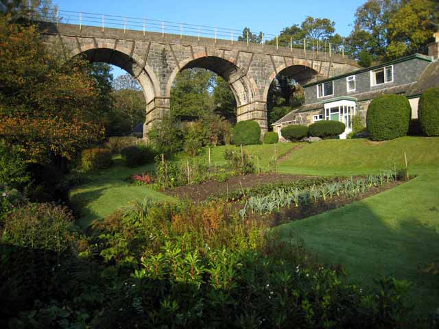
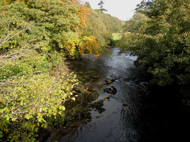
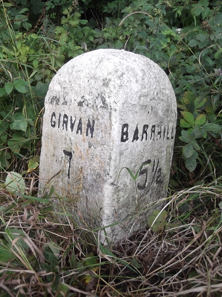
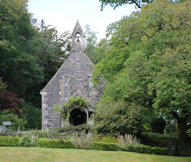
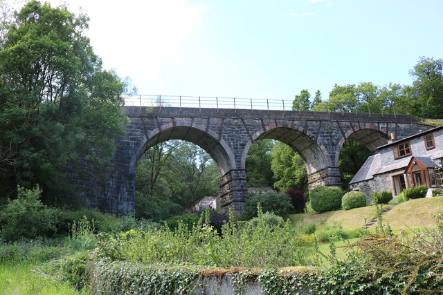
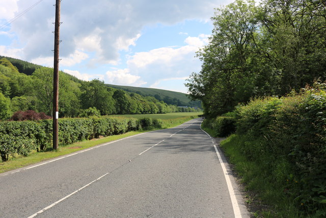
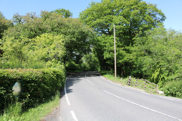
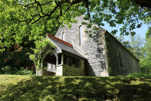
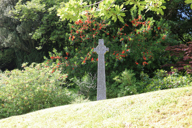
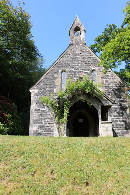
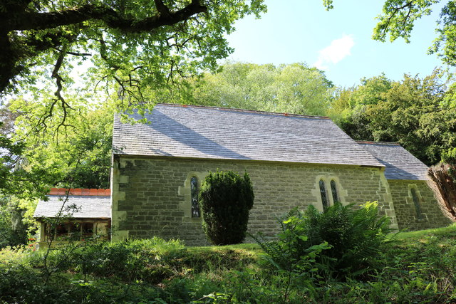
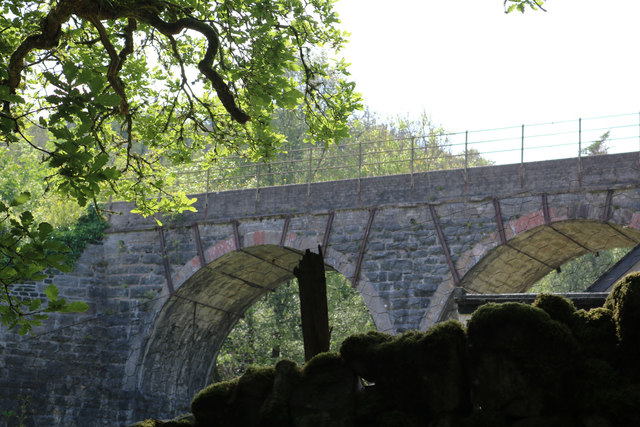
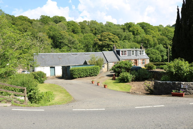
Aldons Hill Images

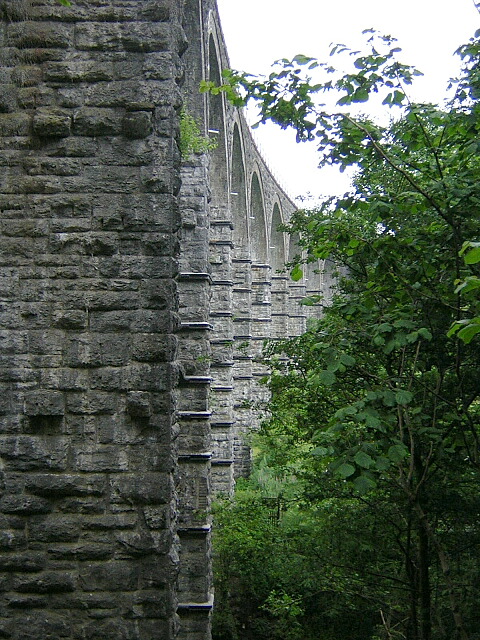
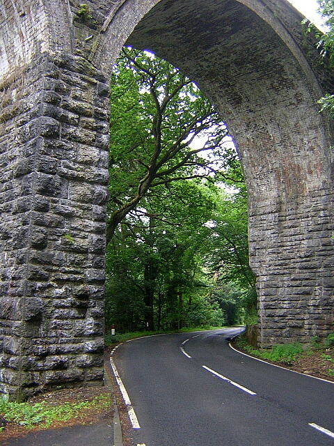
Images are sourced within 2km of 55.172975/-4.8440405 or Grid Reference NX1890. Thanks to Geograph Open Source API. All images are credited.

River Stinchar Near Pinmore Bridge
By the banks of the River Stinchar, between Pinmore and Pinwherry
Viaduct at Holmhead, Pinmore On the Girvan to Stranraer railway. Seen from the A714 Girvan to Newton Stewart road.
Viaduct at Holmhead, Pinmore
On the Girvan to Stranraer railway. Seen from the A714 Girvan to Newton Stewart road.
River Stinchar from Pinmore Bridge
Old Milestone by the A714, north of Laggansarroch Bridge, Colmonell Parish By the A714, in parish of Colmonell (District), North of Daljarrock railway bridge, on straight opposite double metal field gate.

Inscription reads:- : GIRVAN / 7 : : BARRHILL / 5½ :

Surveyed

Milestone Society National ID: AYS_GVBH07
Old Milestone by the A714, north of Laggansarroch Bridge, Colmonell Parish
By the A714, in parish of Colmonell (District), North of Daljarrock railway bridge, on straight opposite double metal field gate. Inscription reads:- : GIRVAN / 7 : : BARRHILL / 5½ : Surveyed Milestone Society National ID: AYS_GVBH07
Pinmore Chapel Just off the A714.
Pinmore Chapel
Just off the A714.
Kinclair Viaduct, Pinmore At Holmhead, thanks to the Ayrshire Rivers Trust Website it's called Kinclair
Kinclair Viaduct, Pinmore
At Holmhead, thanks to the Ayrshire Rivers Trust Website it's called Kinclair
The A714 to Newton Stewart Via Pinwherry and Barrhill.
The A714 to Newton Stewart
Via Pinwherry and Barrhill.
The A714 to Girvan Via Pinmore, viewed from near Holmhead Farm.
The A714 to Girvan
Via Pinmore, viewed from near Holmhead Farm.
Pinmore Chapel Situated next to the A714.
Pinmore Chapel
Situated next to the A714.
Memorial at Pinmore Chapel Located just off the A714 at Holmhead Farm.
Memorial at Pinmore Chapel
Located just off the A714 at Holmhead Farm.
Pinmore Chapel Just off the A714 at Holmhead.
Pinmore Chapel
Just off the A714 at Holmhead.
Pinmore Chapel Viewed from the A714 at Holmhead.
Pinmore Chapel
Viewed from the A714 at Holmhead.
Kinclair Viaduct At Holmhead, thanks to the Ayrshire Rivers Trust Website it's called Kinclair
Kinclair Viaduct
At Holmhead, thanks to the Ayrshire Rivers Trust Website it's called Kinclair
Holmhead Farm Viewed from the A714.
Holmhead Farm
Viewed from the A714.
Viaduct Near Pinmore Viaduct on the Ayr to Stranraer railway line
Viaduct Near Pinmore
Viaduct on the Ayr to Stranraer railway line
Arch on Railway Viaduct Near Pinmore The A714 passes through an arch on a railway viaduct near Pinmore
Arch on Railway Viaduct Near Pinmore
The A714 passes through an arch on a railway viaduct near Pinmore
Show me another place!

Aldons Hill is located at Grid Ref: NX1890 (Lat: 55.172975, Lng: -4.8440405)

Unitary Authority: South Ayrshire

Police Authority: Ayrshire

What 3 Words

///inhales.foiled.warms. Near Girvan, South Ayrshire

Nearby Locations

Fell Hill Aldons Hill

Related Wikis

Pinmore railway station

Pinmore railway station served the hamlet of Pinmore, South Ayrshire, Scotland from 1877 to 1965 on the Girvan and Portpatrick Junction Railway. ��2�...

Pinwherry railway station

Pinwherry railway station served the village of Pinwherry, South Ayrshire, Scotland from 1887 to 1965 on the Girvan and Portpatrick Junction Railway....

Pinwherry

Pinwherry is a hamlet in the civil parish of Colmonell, in the council area of South Ayrshire, Scotland. It is 8 miles south of Girvan. In 1961 it had...

Ardmillan Castle

Ardmillan Castle is a ruinous Scottish castle dating from the late 16th century. It lies on the A77 on the edge of the Firth of Clyde south of Girvan....

Nearby Amenities

Located within 500m of 55.172975,-4.8440405
Fell Hill
Natural: peak
Lat/Long: 55.1720387/-4.8488619
The data included in this document is from www.openstreetmap.org. The data is made available under ODbL.

Have you been to Aldons Hill?

Leave your review of Aldons Hill below (or comments, questions and feedback).