Cnap na Stri

Hill, Mountain in Inverness-shire

Scotland

Cnap na Stri

Cnap na Stri Looking across newly-replanted forestry from the right of way to Allt Garbh.
Cnap na Stri Credit: Patrick Mackie

Cnap na Stri is a hill located in the county of Inverness-shire, Scotland. It is situated within the Scottish Highlands, approximately 12 miles south of the city of Inverness. With an elevation of around 2,441 feet (744 meters), Cnap na Stri is classified as a Corbett, which refers to a Scottish mountain between 2,500 and 3,000 feet in height.

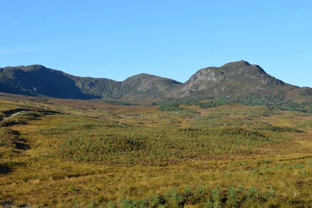
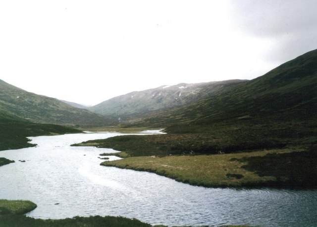
The hill is characterized by its distinct conical shape and rugged terrain, making it a popular destination for hillwalkers and outdoor enthusiasts. It offers stunning panoramic views of the surrounding landscape, including the nearby mountains of Glen Strathfarrar and the Great Glen.

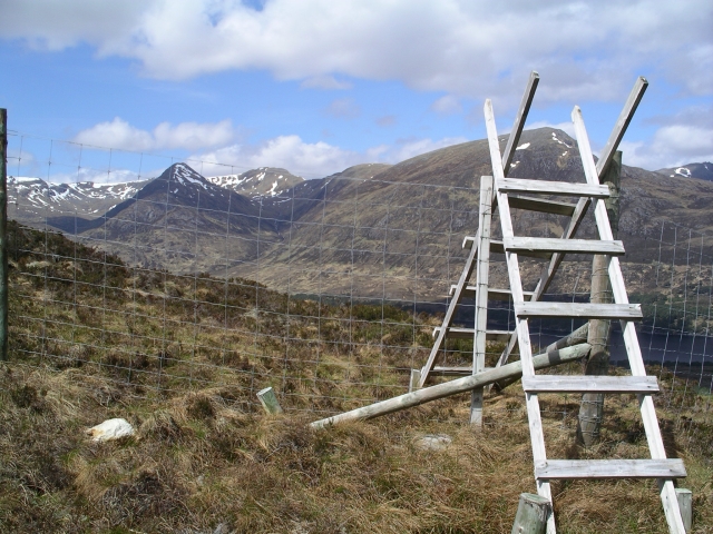
To reach Cnap na Stri, one can follow various walking routes, with the most common starting point being the small village of Cannich. The ascent typically takes between 3-4 hours, depending on fitness levels and weather conditions. The path is well-defined but can be challenging, especially in certain sections that require scrambling over rocky terrain.

Cnap na Stri is known for its rich biodiversity, with a variety of plant and animal species inhabiting its slopes. The hill is home to several species of birds, including golden eagles and peregrine falcons, which can often be spotted soaring above its peaks.

Overall, Cnap na Stri provides an excellent opportunity for outdoor enthusiasts to explore the natural beauty of the Scottish Highlands and enjoy breathtaking views from its summit.

If you have any feedback on the listing, please let us know in the comments section below.
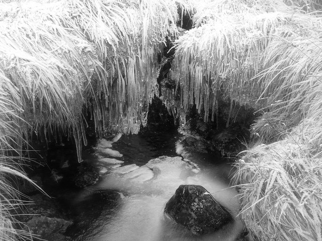
Cnap na Stri Images

Images are sourced within 2km of 57.232043/-5.0002821 or Grid Reference NH1919. Thanks to Geograph Open Source API. All images are credited.

Cnap na Stri Looking across newly-replanted forestry from the right of way to Allt Garbh.
Cnap na Stri
Looking across newly-replanted forestry from the right of way to Allt Garbh.
Boggy hollow north of Creag nan Calman The steep north face of Creag nan Calman rears above the marshy area which lies west of and drains into Loch nan Gillean.
Boggy hollow north of Creag nan Calman
The steep north face of Creag nan Calman rears above the marshy area which lies west of and drains into Loch nan Gillean.
Pine trees on moorland A very boggy path descends from an estate road to be near to the Allt Garbh, both descending to Glen Affric and passes these pine trees en route. The lightly snowed mountain to the right of the image is Tom a' Choinich with an outlying top of it or of Carn Eighe more central. The steep ridge to the left side of the frame rises to Sgurr na Lapaich.
Pine trees on moorland
A very boggy path descends from an estate road to be near to the Allt Garbh, both descending to Glen Affric and passes these pine trees en route. The lightly snowed mountain to the right of the image is Tom a' Choinich with an outlying top of it or of Carn Eighe more central. The steep ridge to the left side of the frame rises to Sgurr na Lapaich.
Track to Loch an Sguid Just short of the loch
Track to Loch an Sguid
Just short of the loch
Loch an Sguid View over loch an Sguid to the Coire Gorm and Aonach Shasuinn
Loch an Sguid
View over loch an Sguid to the Coire Gorm and Aonach Shasuinn
Stalker's Bothy His argocat was there but no sign of the stalker
Stalker's Bothy
His argocat was there but no sign of the stalker
Frozen Hollow Icicles, frost covered grass and a trickle of water on the northern slopes of Aonach Shasuinn.
Frozen Hollow
Icicles, frost covered grass and a trickle of water on the northern slopes of Aonach Shasuinn.
Carn a Choire Ghairbh from Loch an Sguid
Loch an Sguid Nameless glen south of Glen Affric
Loch an Sguid
Nameless glen south of Glen Affric
Summit of Carn nan Coireachean Cruaidh On the map at 872m, a GPS check gave 875m. Somewhere around that number, most likely.
Summit of Carn nan Coireachean Cruaidh
On the map at 872m, a GPS check gave 875m. Somewhere around that number, most likely.
Along the ridge of Carn nan Coireachean Cruaidh Looking towards Point 862m, over the grass-covered ridge.
Along the ridge of Carn nan Coireachean Cruaidh
Looking towards Point 862m, over the grass-covered ridge.
Point 862m A GPS check announced 865m, but there's a certain amount of innacuracy in these things.
Point 862m
A GPS check announced 865m, but there's a certain amount of innacuracy in these things.
NNE from the end of the Carn nan Coireachean ridge
Eastwards from the end of the Carn nan Coireachean ridge Looking down into Coireachean Cruaidh from the ridge.
Eastwards from the end of the Carn nan Coireachean ridge
Looking down into Coireachean Cruaidh from the ridge.
NE along the ridge of Carn nan Coireachean Cruaidh
A ridge-top outcrop
A ridge-top outcrop
"Stairway to heaven" A stile across the deer fence on the way up to Na Cnapain, looking across Glen Affric  to Mam Sodhail
"Stairway to heaven"
A stile across the deer fence on the way up to Na Cnapain, looking across Glen Affric to Mam Sodhail
Regenerating pine forest, Glen Affric Sheltered by a deer fence, these young Scots pines are regenerating naturally to replace the much depleted old pine forest.
Regenerating pine forest, Glen Affric
Sheltered by a deer fence, these young Scots pines are regenerating naturally to replace the much depleted old pine forest.
Show me another place!

Cnap na Stri is located at Grid Ref: NH1919 (Lat: 57.232043, Lng: -5.0002821)

Unitary Authority: Highland

Police Authority: Highlands and Islands

What 3 Words

///cheeks.grub.reframe. Near Cannich, Highland

Nearby Locations

Cnap na Stri

Related Wikis

Aonach Shasuinn

Aonach Shasuinn (888 m) is a mountain in the Northwest Highlands of Scotland. It lies in Inverness-shire, on the southern side of Glen Affric. Taking the...
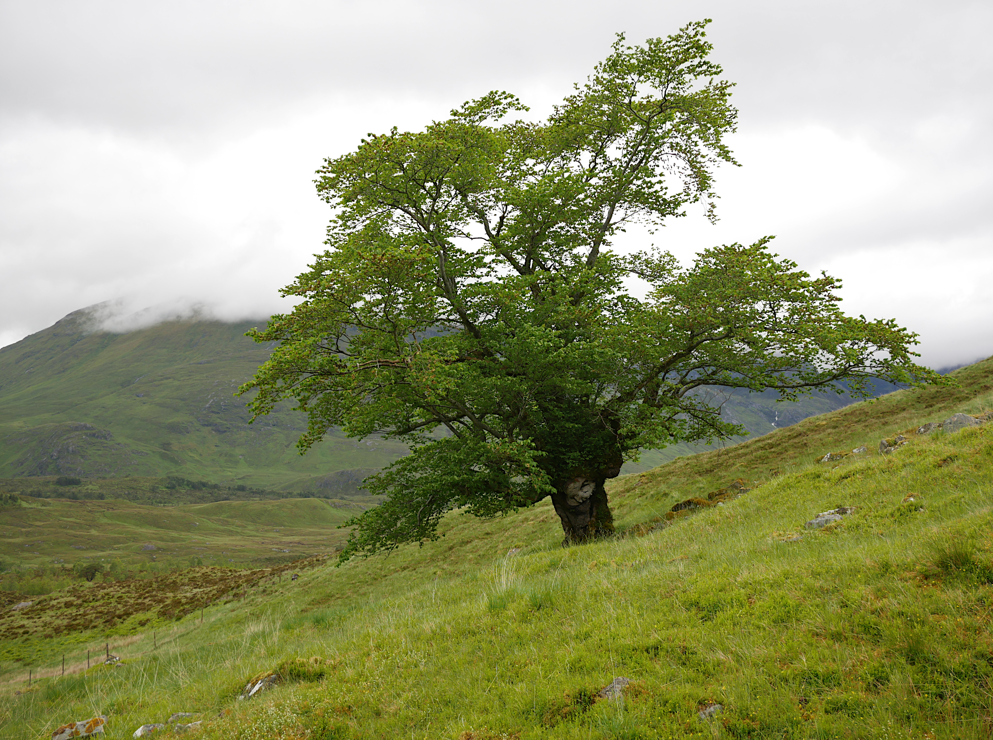
Last Ent of Affric

The Last Ent of Affric is an ancient elm in the Scottish Highlands, designated a Tree of National Special Interest (TNSI) by the Woodland Trust and named...

Tom a' Chòinich

Tom a' Chòinich (Scottish Gaelic: An Tom Còinnich) is a mountain in the Northwest Highlands of Scotland. It is a Munro with a height of 1,112 metres (3...

Sgùrr nan Conbhairean

Sgùrr nan Conbhairean (Scottish Gaelic for 'peak of the dog-men') is a mountain in the Northwest Highlands of Scotland, lying north of Loch Cluanie and...

Nearby Amenities

Located within 500m of 57.232043,-5.0002821
Cnap na Stri
Ele: 724
Natural: peak
Old Name: Cnap na Streapaid
Wikidata: Q13127168
Lat/Long: 57.2319523/-5.0006394
The data included in this document is from www.openstreetmap.org. The data is made available under ODbL.

Have you been to Cnap na Stri?

Leave your review of Cnap na Stri below (or comments, questions and feedback).