Fell Hill
Hill, Mountain in Ayrshire
Scotland
Fell Hill
Fell Hill is a prominent geographical feature located in the region of Ayrshire, Scotland. Situated near the town of Ayr, this hill/mountain (depending on classification) offers stunning views and a rich history.
Rising to an elevation of approximately 362 meters (1,188 feet), Fell Hill is a popular destination for outdoor enthusiasts, hikers, and nature lovers. Its distinctive shape and position make it a noticeable landmark in the surrounding landscape. The hill is part of the Southern Uplands, a range of hills and mountains that stretches across the southern parts of Scotland.
Fell Hill boasts a diverse range of flora and fauna, making it an ideal habitat for various species of plants and animals. The hill is covered in lush vegetation, including heather, grasses, and wildflowers. It is home to several bird species, such as peregrine falcons, buzzards, and kestrels, making it a haven for birdwatchers.
The history of Fell Hill is intertwined with the local community. In the past, the hill was utilized for farming and grazing purposes. However, it also served as a strategic vantage point during conflicts, including the Wars of Independence. Ruins of old defensive structures and fortifications can still be found on the hill, providing a glimpse into its historical significance.
Fell Hill offers various walking and hiking trails, allowing visitors to explore its beauty and enjoy the panoramic views of the surrounding countryside. Whether it's for leisurely walks or more challenging hikes, the hill provides a rewarding experience for outdoor enthusiasts.
If you have any feedback on the listing, please let us know in the comments section below.
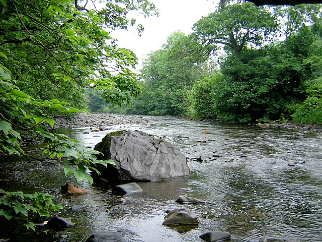
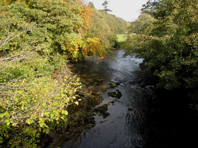
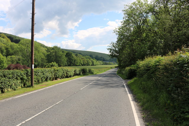
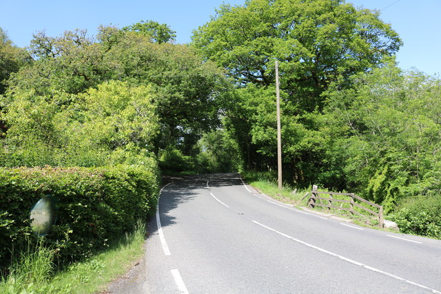
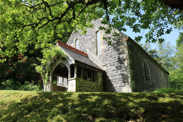
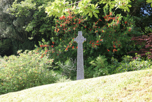
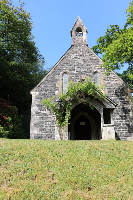
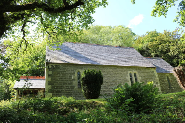
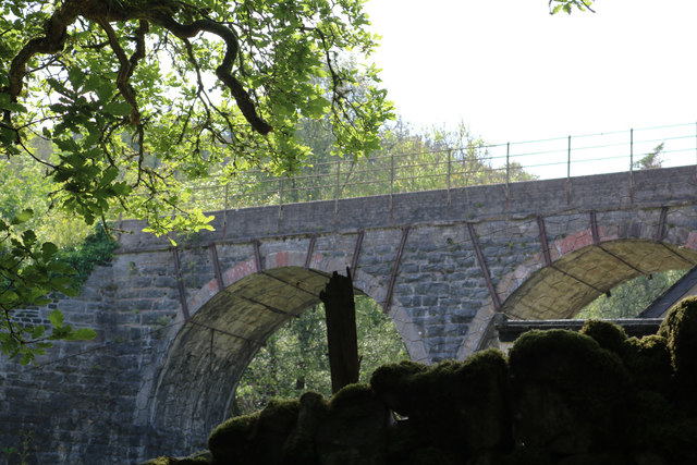
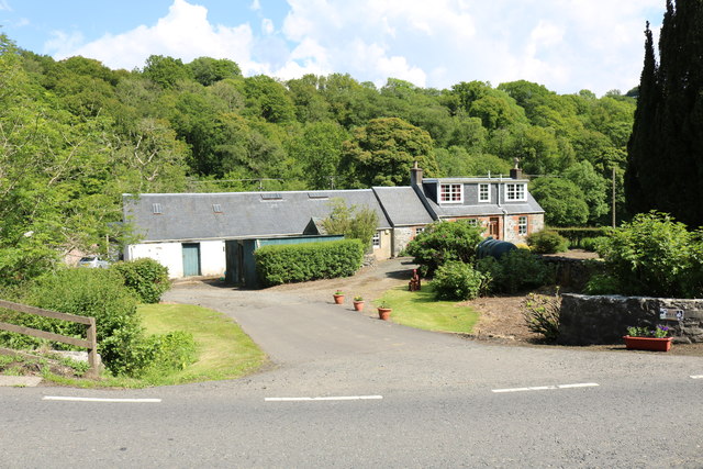
Fell Hill Images
Images are sourced within 2km of 55.171857/-4.8492067 or Grid Reference NX1890. Thanks to Geograph Open Source API. All images are credited.
Fell Hill is located at Grid Ref: NX1890 (Lat: 55.171857, Lng: -4.8492067)
Unitary Authority: South Ayrshire
Police Authority: Ayrshire
What 3 Words
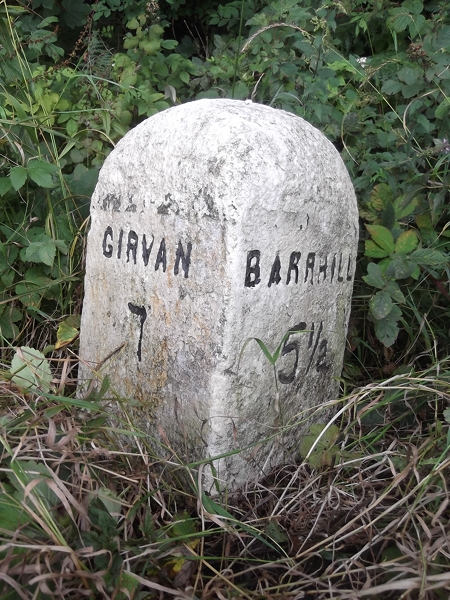
///finely.acoustics.shape. Near Girvan, South Ayrshire
Nearby Locations
Related Wikis

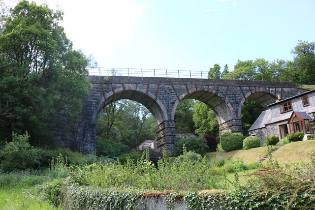
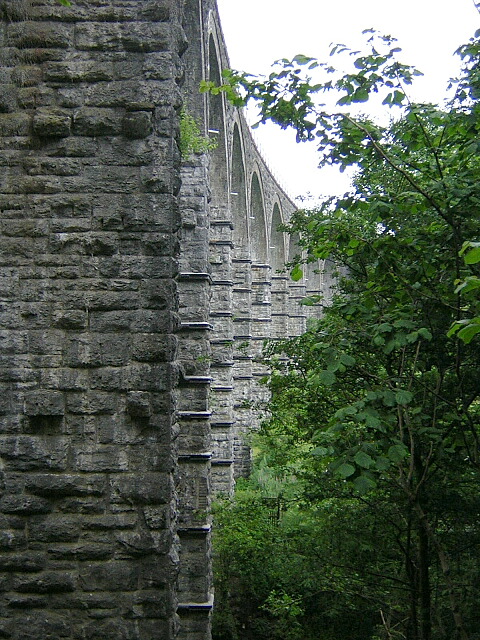
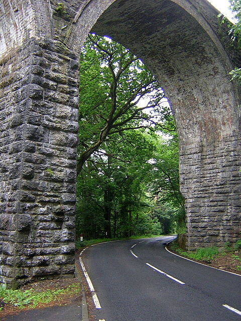
Pinmore railway station
Pinmore railway station served the hamlet of Pinmore, South Ayrshire, Scotland from 1877 to 1965 on the Girvan and Portpatrick Junction Railway. ��2�...

Pinwherry railway station
Pinwherry railway station served the village of Pinwherry, South Ayrshire, Scotland from 1887 to 1965 on the Girvan and Portpatrick Junction Railway....

Pinwherry
Pinwherry is a hamlet in the civil parish of Colmonell, in the council area of South Ayrshire, Scotland. It is 8 miles south of Girvan. In 1961 it had...

Ardmillan Castle
Ardmillan Castle is a ruinous Scottish castle dating from the late 16th century. It lies on the A77 on the edge of the Firth of Clyde south of Girvan....

Lendalfoot
Lendalfoot is a small village located on Carleton Bay, parish of Colmonell in the old district of Carrick, now South Ayrshire, about six miles (ten kilometres...

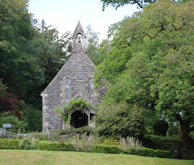
Dumbarton Collegiate Church
The Collegiate Church of St Mary, Dumbarton, Scotland, was founded in about 1453 by Isabella, Countess of Lennox and Duchess of Albany. During the medieval...

Colmonell
Colmonell (Scottish Gaelic: Cill Cholmain Eala) (meaning the church of St. Colman of Lainn Eala - in Lynally, County Offaly, Ireland) is a small village...
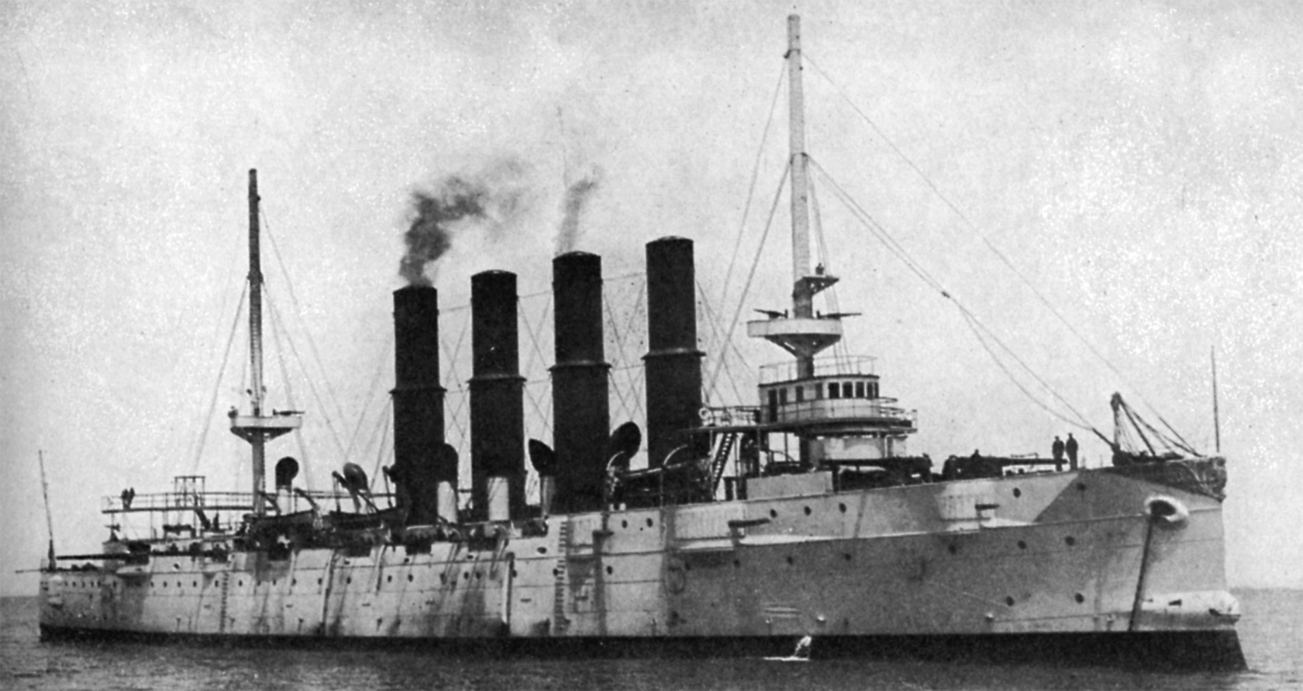
Russian cruiser Varyag (1899)
Varyag (Russian: Варя́г) sometimes also spelled Variag, was a Russian protected cruiser. Varyag became famous for her crew's stoicism at the Battle of...
Nearby Amenities
Located within 500m of 55.171857,-4.8492067Have you been to Fell Hill?
Leave your review of Fell Hill below (or comments, questions and feedback).