A' Chailleach
Hill, Mountain in Argyllshire
Scotland
A' Chailleach
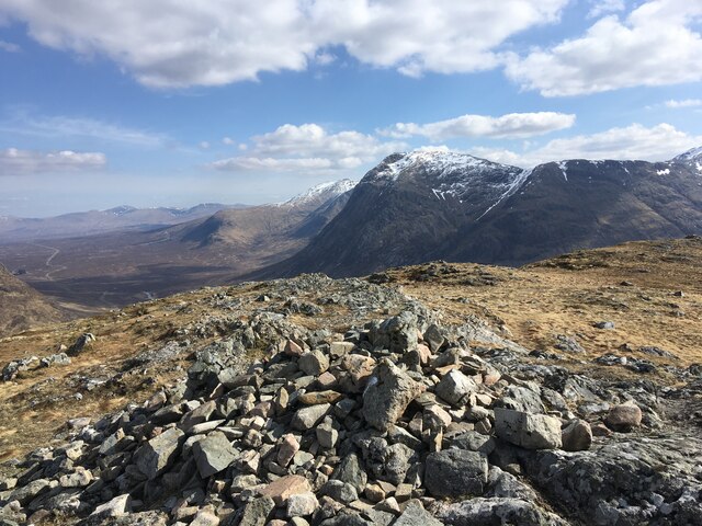
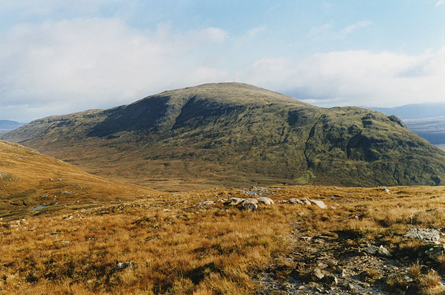
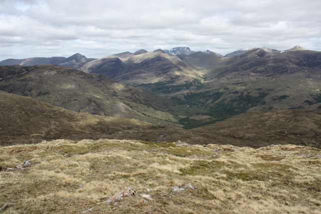
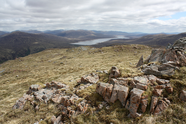
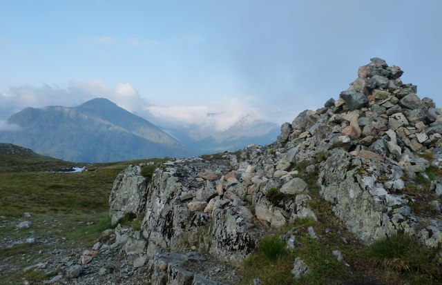
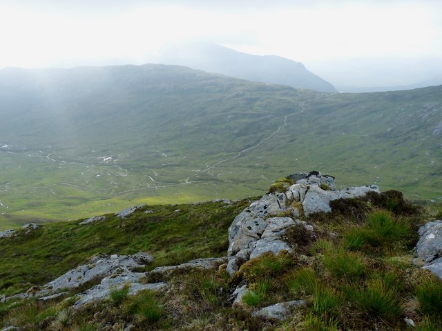
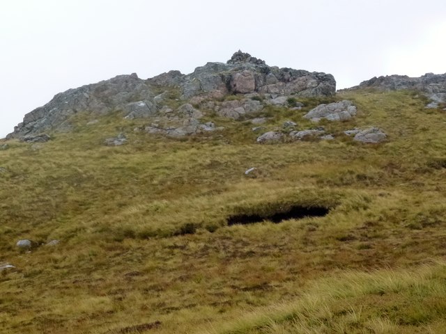
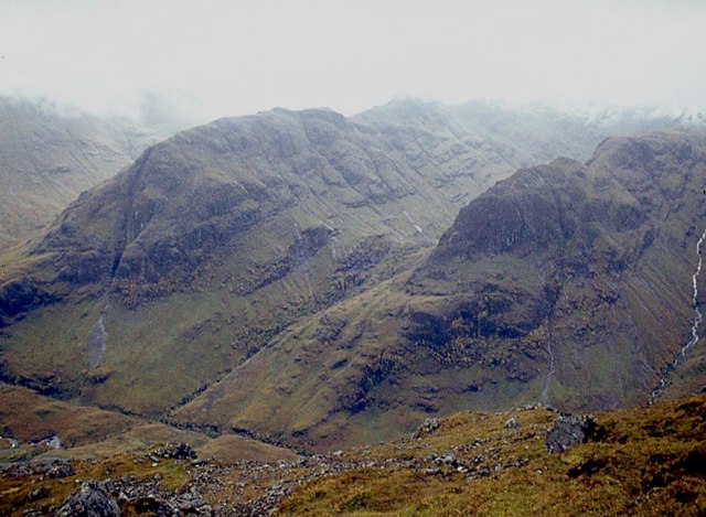
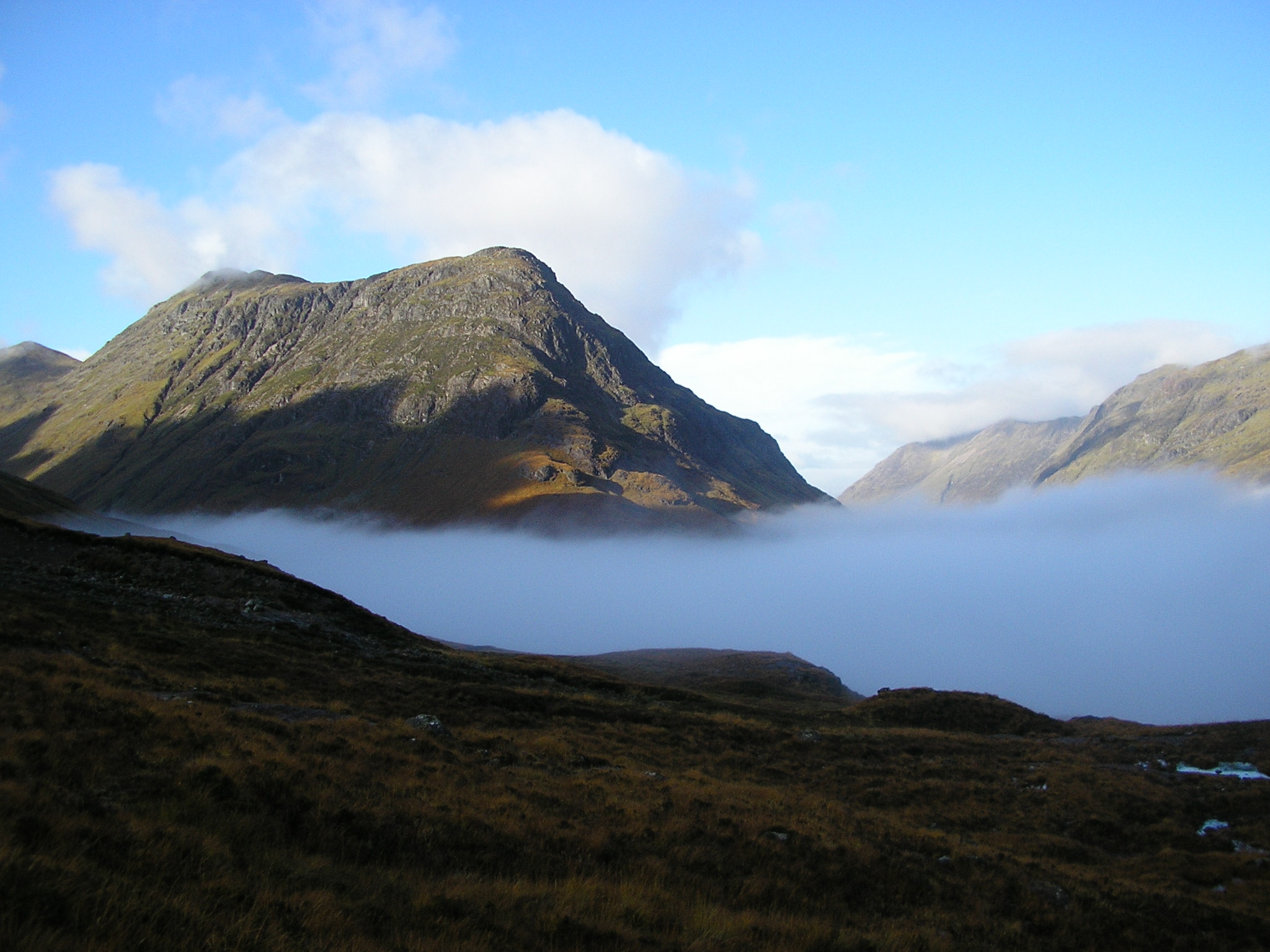
A' Chailleach is a prominent hill located in the region of Argyllshire, Scotland. With its stunning landscape and rich history, it has become a popular destination for hikers and outdoor enthusiasts. Rising to a height of 997 meters (3,270 feet), A' Chailleach is classified as a Munro, which is a Scottish mountain exceeding 914 meters (3,000 feet).
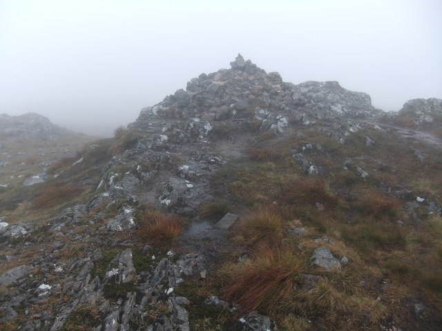
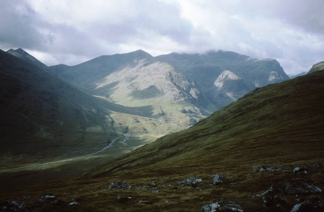
The hill is situated in the Glen Etive range, offering breathtaking panoramic views of the surrounding area. Its distinctive shape and rugged terrain make it stand out amongst the other peaks in the region. A' Chailleach is known for its steep slopes, rocky outcrops, and challenging ridges, making it an ideal destination for experienced climbers and mountaineers.
One of the notable features of A' Chailleach is the presence of several small lochs, or lakes, scattered around its base. These lochs are often visited by wildlife, including deer and various species of birds, creating a picturesque and tranquil setting. The hill is also home to diverse flora and fauna, with heather, moss, and lichens covering its slopes, and rare alpine plants can be found at higher elevations.
A' Chailleach holds historical significance as well. In Gaelic, its name translates to "The Old Woman," and it is said to be named after a mythical figure in Scottish folklore. Local legends and stories add to the mystical aura surrounding the hill, captivating visitors and sparking their curiosity.
Overall, A' Chailleach offers a mesmerizing blend of natural beauty, challenging terrain, and cultural heritage, making it a must-visit destination for adventurers and nature enthusiasts in Argyllshire.
If you have any feedback on the listing, please let us know in the comments section below.
A' Chailleach Images
Images are sourced within 2km of 56.678043/-4.9573991 or Grid Reference NN1857. Thanks to Geograph Open Source API. All images are credited.
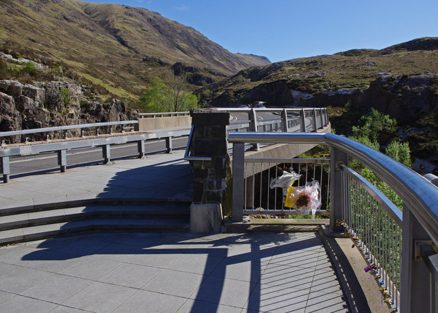
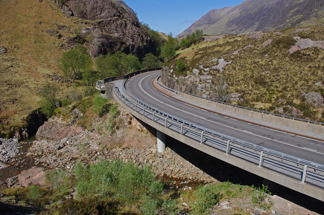
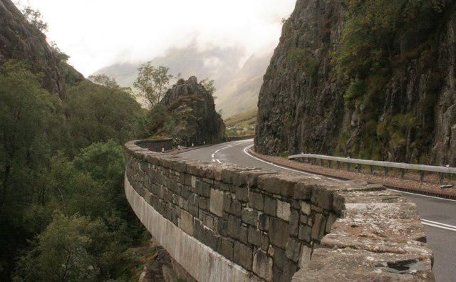
![A82 in Glen Coe The road here has been widened, and a viewing platform has been constructed beside a lay-by for visitors to look at the Meeting of Three Waters waterfall [<a title="https://www.geograph.org.uk/photo/5104364" href="https://www.geograph.org.uk/photo/5104364">Link</a>].](https://s3.geograph.org.uk/geophotos/05/10/43/5104387_ac818875.jpg)
A' Chailleach is located at Grid Ref: NN1857 (Lat: 56.678043, Lng: -4.9573991)
Unitary Authority: Highland
Police Authority: Highlands and Islands
What 3 Words
///desiring.charities.reinvest. Near Glencoe, Highland
Nearby Locations
Related Wikis

Glen Coe
Glen Coe (Scottish Gaelic: Gleann Comhann pronounced [klan̪ˠˈkʰo.ən̪ˠ]) is a glen of volcanic origins, in the Highlands of Scotland. It lies in the north...

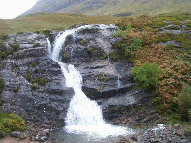
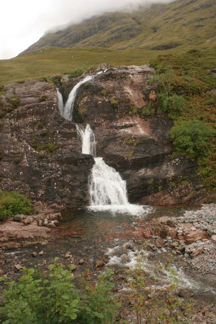
Meeting of Three Waters
Meeting of Three Waters is a waterfall of Scotland.The waterfall is situated at the foot of the Three Sisters of Glen Coe - a popular hiking and skiing...

Coire Gabhail
Coire Gabhail (Corrie of the Bounty, or The Hollow of Capture) is a high level glen in the Bidean nam Bian mountain massif to the south of Glen Coe, Highland...

Kinlochleven
Kinlochleven () (Scottish Gaelic: Ceann Loch Lìobhann) is a village located in Lochaber, in the Scottish Highlands and lies at the eastern end of Loch...
Buachaille Etive Beag
Buachaille Etive Beag (, Scottish Gaelic: Buachaille Èite Beag, 'little herdsman of Etive') is a mountain between Glen Coe and Glen Etive in the Highlands...

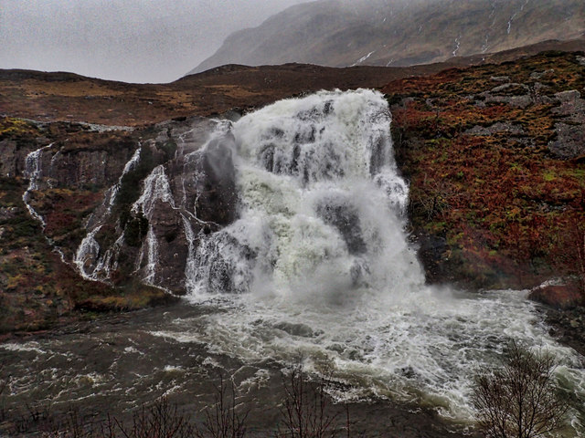
Grey Mare's Tail, Kinlochmore
Grey Mare's Tail, Kinlochmore, is a waterfall of Scotland. == See also == Waterfalls of Scotland == References ==

Loch Achtriochtan
Loch Achtriochtan or Loch Trychardan is a small shallow freshwater loch located to the east of Glencoe village in Lochaber in the Scottish Highlands. It...

Aonach Eagach
The Aonach Eagach (Scottish Gaelic for 'notched ridge') is a large mountain ridge in the Scottish Highlands, marking the northern edge of Glen Coe. It...
Nearby Amenities
Located within 500m of 56.678043,-4.9573991Have you been to A' Chailleach?
Leave your review of A' Chailleach below (or comments, questions and feedback).