Higher Kinnerton

Settlement in Flintshire

Wales

Higher Kinnerton

Burton Lodge Farm Farm on Stringer's Lane near Honkley
Burton Lodge Farm Credit: Eirian Evans

Higher Kinnerton is a small village located in the county of Flintshire, Wales. Situated approximately 7 miles west of the city of Chester, it is nestled within the picturesque countryside of North Wales. The village has a population of around 1,500 residents.

Known for its tranquil surroundings and charming character, Higher Kinnerton offers a peaceful and idyllic lifestyle. The village is surrounded by lush green fields and rolling hills, providing ample opportunities for outdoor activities such as walking, cycling, and horse riding. The nearby River Dee adds to the beauty of the area, attracting nature enthusiasts and anglers.

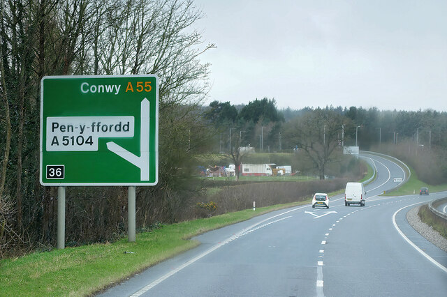
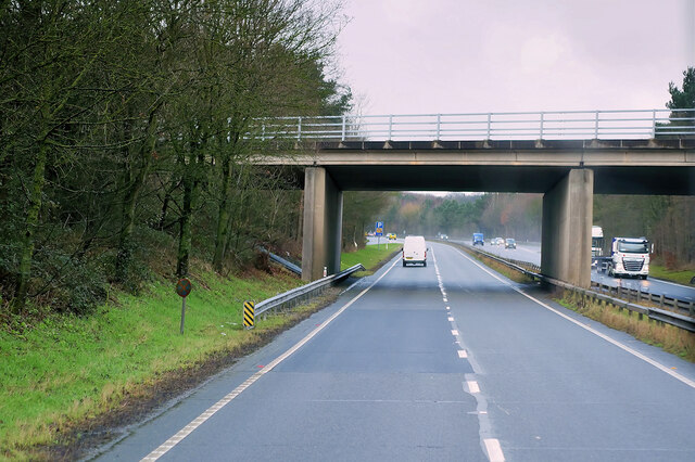
Despite its rural setting, Higher Kinnerton is well-connected to neighboring towns and cities. The A55 North Wales Expressway runs nearby, providing easy access to major transport links. The village also benefits from regular bus services, ensuring convenient transportation for residents.

Higher Kinnerton boasts a close-knit and friendly community. It is home to a range of amenities, including a post office, a primary school, a village hall, and several local businesses. The village pub, The Blue Bell Inn, serves as a popular gathering spot for both locals and visitors, offering a warm and welcoming atmosphere.

Overall, Higher Kinnerton offers a tranquil and picturesque setting, appealing to those seeking a peaceful countryside lifestyle while still having access to modern amenities and nearby urban centers.

If you have any feedback on the listing, please let us know in the comments section below.

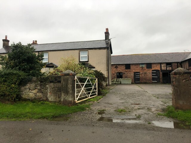
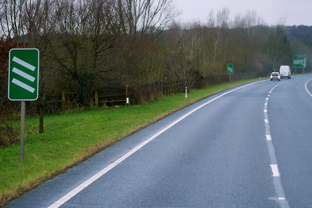
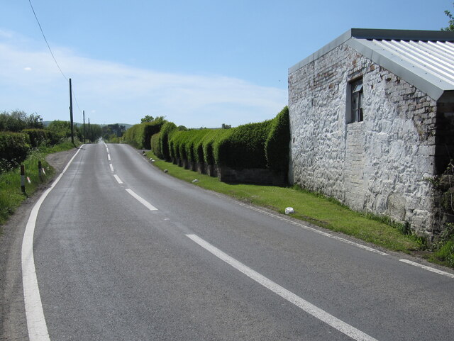
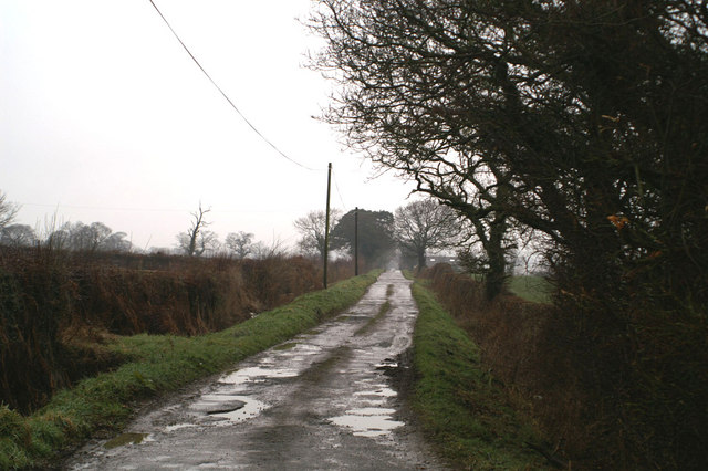
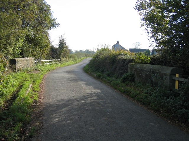
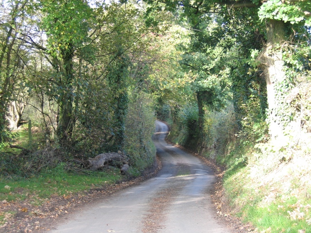
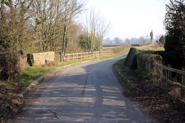
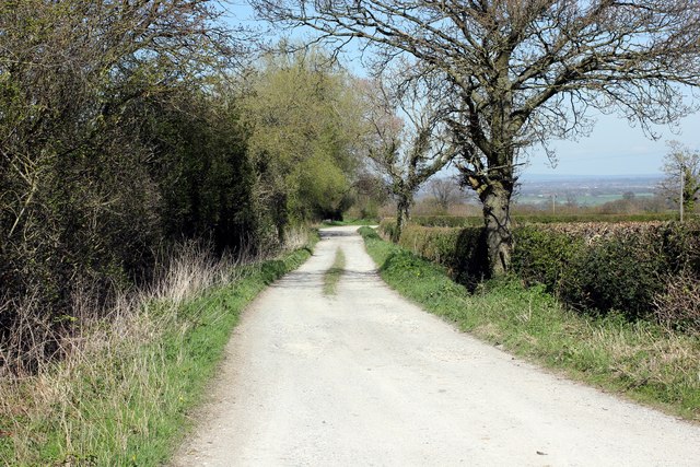
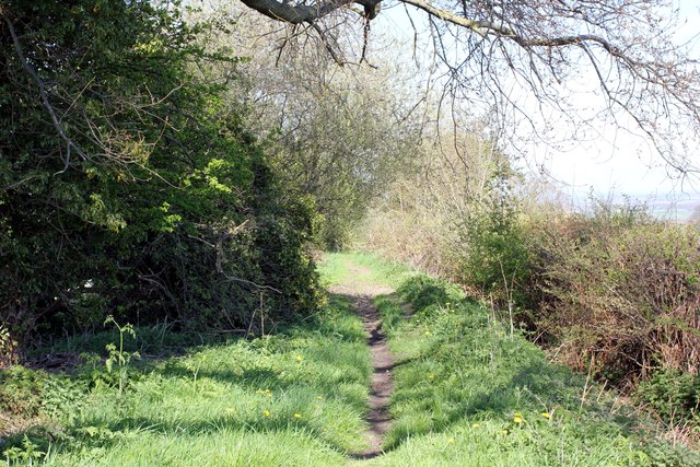
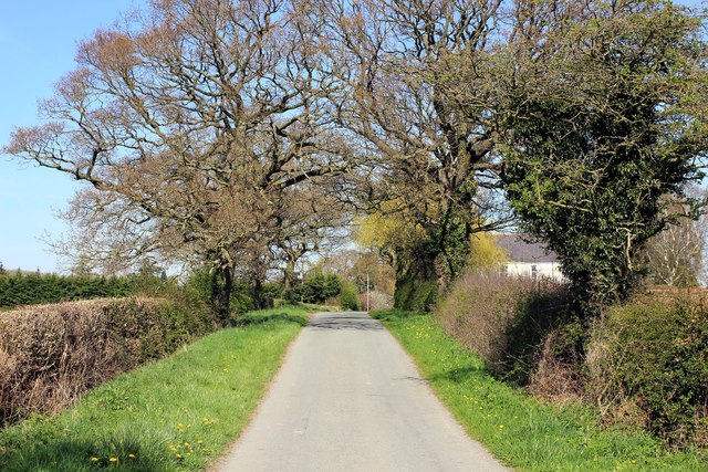
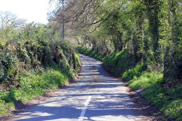
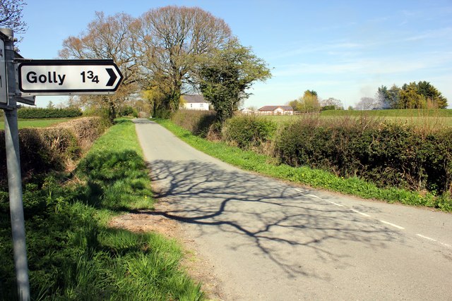
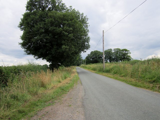
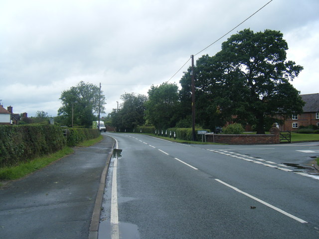
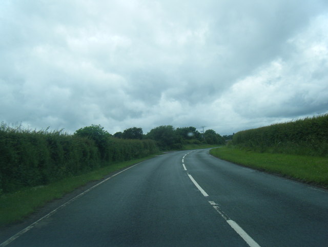
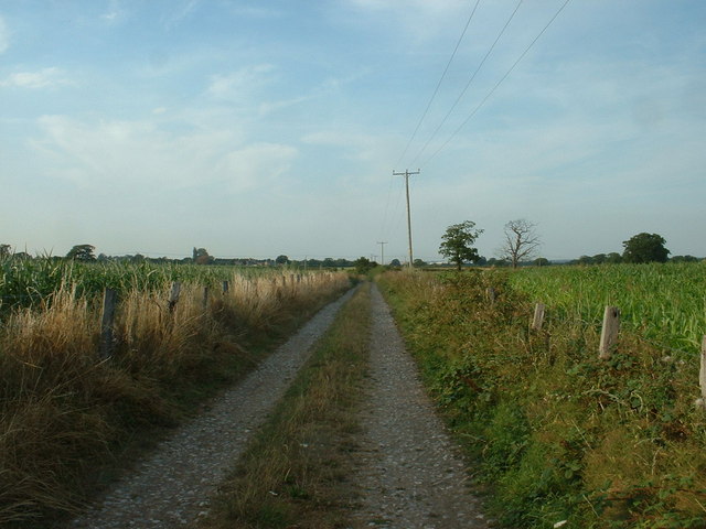
Higher Kinnerton Images

Images are sourced within 2km of 53.143801/-3.004111 or Grid Reference SJ3261. Thanks to Geograph Open Source API. All images are credited.

Burton Lodge Farm Farm on Stringer's Lane near Honkley
Burton Lodge Farm
Farm on Stringer's Lane near Honkley
North Wales Expressway towards Junction 36 at Broughton The A55, also known as the North Wales Expressway (Gwibffordd Gogledd Cymru), is the major road in North Wales running for 88 miles between Chester and Holyhead via Conwy and Bangor. 

The A55 is a very high quality road, much of it rebuilt since the 1970s in response to traffic problems in Colwyn Bay, Colwyn and Llandudno caused by traffic having to pass through town centres on totally unsuitable streets, (especially in Conwy where lorries often scraped their paintwork as they passed through 12th century arches in the town's walls), leading to the construction of an east-west expressway bypassing the urban centres. It is a dual carriageway primary route for its entire length with the exception of the point where it crosses the Britannia Bridge over the Menai Strait. All of its junctions are grade separated except for two roundabouts; one east of Penmaenmawr and one in Llanfairfechan. The road originally ran from Chester to Bangor but was extended parallel to the A5 across Anglesey right into Holyhead Docks in 2001.

<span class="nowrap"><a title="http://www.sabre-roads.org.uk/wiki/index.php?title=A55" rel="nofollow ugc noopener" href="http://www.sabre-roads.org.uk/wiki/index.php?title=A55">Link</a><img style="margin-left:2px;" alt="External link" title="External link - shift click to open in new window" src="https://s1.geograph.org.uk/img/external.png" width="10" height="10"/></span>  SABRE
North Wales Expressway towards Junction 36 at Broughton
The A55, also known as the North Wales Expressway (Gwibffordd Gogledd Cymru), is the major road in North Wales running for 88 miles between Chester and Holyhead via Conwy and Bangor. The A55 is a very high quality road, much of it rebuilt since the 1970s in response to traffic problems in Colwyn Bay, Colwyn and Llandudno caused by traffic having to pass through town centres on totally unsuitable streets, (especially in Conwy where lorries often scraped their paintwork as they passed through 12th century arches in the town's walls), leading to the construction of an east-west expressway bypassing the urban centres. It is a dual carriageway primary route for its entire length with the exception of the point where it crosses the Britannia Bridge over the Menai Strait. All of its junctions are grade separated except for two roundabouts; one east of Penmaenmawr and one in Llanfairfechan. The road originally ran from Chester to Bangor but was extended parallel to the A5 across Anglesey right into Holyhead Docks in 2001. LinkExternal link SABRE
North Wales Expressway (A55)  at Junction 36 The A55, also known as the North Wales Expressway (Gwibffordd Gogledd Cymru), is the major road in North Wales running for 88 miles between Chester and Holyhead via Conwy and Bangor. 

The A55 is a very high quality road, much of it rebuilt since the 1970s in response to traffic problems in Colwyn Bay, Colwyn and Llandudno caused by traffic having to pass through town centres on totally unsuitable streets, (especially in Conwy where lorries often scraped their paintwork as they passed through 12th century arches in the town's walls), leading to the construction of an east-west expressway bypassing the urban centres. It is a dual carriageway primary route for its entire length with the exception of the point where it crosses the Britannia Bridge over the Menai Strait. All of its junctions are grade separated except for two roundabouts; one east of Penmaenmawr and one in Llanfairfechan. The road originally ran from Chester to Bangor but was extended parallel to the A5 across Anglesey right into Holyhead Docks in 2001.

<span class="nowrap"><a title="http://www.sabre-roads.org.uk/wiki/index.php?title=A55" rel="nofollow ugc noopener" href="http://www.sabre-roads.org.uk/wiki/index.php?title=A55">Link</a><img style="margin-left:2px;" alt="External link" title="External link - shift click to open in new window" src="https://s1.geograph.org.uk/img/external.png" width="10" height="10"/></span>  SABRE
North Wales Expressway (A55) at Junction 36
The A55, also known as the North Wales Expressway (Gwibffordd Gogledd Cymru), is the major road in North Wales running for 88 miles between Chester and Holyhead via Conwy and Bangor. The A55 is a very high quality road, much of it rebuilt since the 1970s in response to traffic problems in Colwyn Bay, Colwyn and Llandudno caused by traffic having to pass through town centres on totally unsuitable streets, (especially in Conwy where lorries often scraped their paintwork as they passed through 12th century arches in the town's walls), leading to the construction of an east-west expressway bypassing the urban centres. It is a dual carriageway primary route for its entire length with the exception of the point where it crosses the Britannia Bridge over the Menai Strait. All of its junctions are grade separated except for two roundabouts; one east of Penmaenmawr and one in Llanfairfechan. The road originally ran from Chester to Bangor but was extended parallel to the A5 across Anglesey right into Holyhead Docks in 2001. LinkExternal link SABRE
North Wales Expressway (A55), Bridge at Junction 36 The A55, also known as the North Wales Expressway (Gwibffordd Gogledd Cymru), is the major road in North Wales running for 88 miles between Chester and Holyhead via Conwy and Bangor. 

The A55 is a very high quality road, much of it rebuilt since the 1970s in response to traffic problems in Colwyn Bay, Colwyn and Llandudno caused by traffic having to pass through town centres on totally unsuitable streets, (especially in Conwy where lorries often scraped their paintwork as they passed through 12th century arches in the town's walls), leading to the construction of an east-west expressway bypassing the urban centres. It is a dual carriageway primary route for its entire length with the exception of the point where it crosses the Britannia Bridge over the Menai Strait. All of its junctions are grade separated except for two roundabouts; one east of Penmaenmawr and one in Llanfairfechan. The road originally ran from Chester to Bangor but was extended parallel to the A5 across Anglesey right into Holyhead Docks in 2001.

<span class="nowrap"><a title="http://www.sabre-roads.org.uk/wiki/index.php?title=A55" rel="nofollow ugc noopener" href="http://www.sabre-roads.org.uk/wiki/index.php?title=A55">Link</a><img style="margin-left:2px;" alt="External link" title="External link - shift click to open in new window" src="https://s1.geograph.org.uk/img/external.png" width="10" height="10"/></span>  SABRE
North Wales Expressway (A55), Bridge at Junction 36
The A55, also known as the North Wales Expressway (Gwibffordd Gogledd Cymru), is the major road in North Wales running for 88 miles between Chester and Holyhead via Conwy and Bangor. The A55 is a very high quality road, much of it rebuilt since the 1970s in response to traffic problems in Colwyn Bay, Colwyn and Llandudno caused by traffic having to pass through town centres on totally unsuitable streets, (especially in Conwy where lorries often scraped their paintwork as they passed through 12th century arches in the town's walls), leading to the construction of an east-west expressway bypassing the urban centres. It is a dual carriageway primary route for its entire length with the exception of the point where it crosses the Britannia Bridge over the Menai Strait. All of its junctions are grade separated except for two roundabouts; one east of Penmaenmawr and one in Llanfairfechan. The road originally ran from Chester to Bangor but was extended parallel to the A5 across Anglesey right into Holyhead Docks in 2001. LinkExternal link SABRE
Benchmark at Bradbrook Farm, Kinnerton Ordnance Survey benchmark on a roadside barn at Bradbrook Farm, Kinnerton Road, Kinnerton. The mark was levelled at 62.045m above Newlyn Datum, verified in 1959. 
See also <a href="https://www.geograph.org.uk/photo/7454009">SJ3260 : Kinnerton Road by Bradbrook Farm</a> 
<span class="nowrap"><a title="https://www.bench-marks.org.uk/bm189931" rel="nofollow ugc noopener" href="https://www.bench-marks.org.uk/bm189931">Link</a><img style="margin-left:2px;" alt="External link" title="External link - shift click to open in new window" src="https://s1.geograph.org.uk/img/external.png" width="10" height="10"/></span>
Benchmark at Bradbrook Farm, Kinnerton
Ordnance Survey benchmark on a roadside barn at Bradbrook Farm, Kinnerton Road, Kinnerton. The mark was levelled at 62.045m above Newlyn Datum, verified in 1959. See also SJ3260 : Kinnerton Road by Bradbrook Farm LinkExternal link
Kinnerton Road by Bradbrook Farm Looking along the very straight Kinnerton Road, the barn on the right at Bradbrook Farm has an Ordnance Survey benchmark on the nearest corner <a href="https://www.geograph.org.uk/photo/7454001">SJ3260 : Benchmark at Bradbrook Farm, Kinnerton</a>
Kinnerton Road by Bradbrook Farm
Looking along the very straight Kinnerton Road, the barn on the right at Bradbrook Farm has an Ordnance Survey benchmark on the nearest corner SJ3260 : Benchmark at Bradbrook Farm, Kinnerton
Middle Lane, Kinnerton
Stone Bridge over Stringer's Brook The brook passes under the road at a sharp angle, hence the offset parapets.
Stone Bridge over Stringer's Brook
The brook passes under the road at a sharp angle, hence the offset parapets.
Sunken Lane Lane running from Town Ditch to Sandy Lane.  At the bottom of the hill, according to the map, it crosses the beginnings of a tributary of Stringer's Brook.
Sunken Lane
Lane running from Town Ditch to Sandy Lane. At the bottom of the hill, according to the map, it crosses the beginnings of a tributary of Stringer's Brook.
Stringer's Brook Bridge on Stringer's Lane Stringer's Lane passing over Stringer's Brook as it heads towards Honkley.
Stringer's Brook Bridge on Stringer's Lane
Stringer's Lane passing over Stringer's Brook as it heads towards Honkley.
Bridleway off Middle Lane
Bridleway off Middle Lane The bridleway gets a bit more overgrown here.
Bridleway off Middle Lane
The bridleway gets a bit more overgrown here.
Sandy Lane Sandy Lane heading north east towards Higher Kinnerton.
Sandy Lane
Sandy Lane heading north east towards Higher Kinnerton.
Stringers Lane Stringers Lane from the junction with Sandy Lane.
Stringers Lane
Stringers Lane from the junction with Sandy Lane.
This way to Golly Signpost to Golly on Sandy Lane.
This way to Golly
Signpost to Golly on Sandy Lane.
Sandy Lane
Sandy Lane
Brick Road junction
Brick Road junction
Main Road west of Lower Kinnerton
Show me another place!

Higher Kinnerton is located at Grid Ref: SJ3261 (Lat: 53.143801, Lng: -3.004111)

Unitary Authority: Flintshire

Police Authority: North Wales

What 3 Words

///dreams.flocking.rejects. Near Broughton, Flintshire

Related Wikis

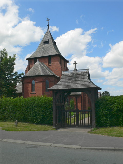
All Saints Church, Higher Kinnerton

All Saints Church is in Main Road, Higher Kinnerton, Flintshire, Wales. It is an active Anglican parish church in the Diocese of Chester, the archdeaconry...

Higher Kinnerton

Higher Kinnerton is a village and community within rural Flintshire, Wales, close to the Wales-England border. Its sister village, Lower Kinnerton, is...

Kinnerton railway station

Kinnerton railway station was a station in Higher Kinnerton, Flintshire, Wales. The station was opened on 2 February 1891 and closed on 30 April 1962....

Lower Kinnerton Hall

Lower Kinnerton Hall, also known as Bridge Farmhouse, stands adjacent to the England-Wales border to the west of the village of Lower Kinnerton, Cheshire...

Nearby Amenities

Located within 500m of 53.143801,-3.004111
Higher Kinnerton
Name Cy: Kinnerton Uchaf
Name En: Higher Kinnerton
Place: village
Wikidata: Q5758202
Lat/Long: 53.1439618/-3.0034398
Pub
The Royal Oak
Addr Postcode: CH4 9BE
Addr Street: Kinnerton Lane
Fhrs Id: 1070776
Source Addr: FHRS Open Data
Lat/Long: 53.1474547/-3.0003415
Post Office
Higher Kinnerton Post Office
Name Cy: Swyddfa'r Post Higher Kinnerton
Lat/Long: 53.1435357/-3.0035806
Grit Bin
Lat/Long: 53.1422851/-3.001601
Villagestore
Addr Housename: Villagestore
Addr Postcode: CH4 9AJ
Addr Street: Main Road
Shop: convenience
Lat/Long: 53.1432955/-3.004425
Bus Stop
Higher Kinnerton, Main Road / Higher Kinnerton Church
Bus: yes
Naptan AtcoCode: 5120AWD71287
Naptan Bearing: NE
Naptan CommonName: Higher Kinnerton Church
Naptan Crossing: Bennett`s Lane
Naptan Indicator: o/s
Naptan Landmark: All Saints` Church
Naptan LocalityName: Higher Kinnerton
Naptan NaptanCode: fliawpa
Naptan ShortCommonName: Higher Kinnerton Church
Naptan Street: Main Road
Public Transport: platform
Shelter: yes
Source: naptan_import
Lat/Long: 53.1436833/-3.0043043
Bus Stop
Higher Kinnerton, Main Road / Royal Oak
Bus: yes
Naptan AtcoCode: 5120AWD71286
Naptan Bearing: NE
Naptan CommonName: Royal Oak
Naptan Crossing: Kinnerton Way
Naptan Indicator: before
Naptan Landmark: Royal Oak PH
Naptan LocalityName: Higher Kinnerton
Naptan NaptanCode: fliawpm
Naptan Street: Main Road
Public Transport: platform
Source: naptan_import
Lat/Long: 53.1471165/-3.0007078
Bus Stop
Higher Kinnerton, Sandy Lane / Blantern Road
Bus: yes
Naptan AtcoCode: 5120FLX17041
Naptan Bearing: SW
Naptan BusStopType: CUS
Naptan CommonName: Blantern Road
Naptan Crossing: Blantern Road
Naptan Indicator: opp
Naptan LocalityName: Higher Kinnerton
Naptan NaptanCode: fliawpj
Naptan Street: Sandy Lane
Public Transport: platform
Source: naptan_import
Lat/Long: 53.1459133/-2.9976913
Turning Circle
Turning Circle: knuckle
Lat/Long: 53.1425615/-3.004128
Community Centre
Scout hut
Lat/Long: 53.1461662/-3.0019619
Crossing
Crossing: unmarked
Crossing Island: no
Crossing Markings: no
Kerb: lowered
Tactile Paving: no
Lat/Long: 53.1462413/-2.998743
Turning Circle
Lat/Long: 53.1471776/-3.0024552
Direction: 190
Generator Method: photovoltaic
Generator Output Electricity: yes
Generator Solar Modules: 18
Generator Source: solar
Generator Type: solar_photovoltaic_panel
Location: roof
Power: generator
Lat/Long: 53.1467292/-2.9997198
Direction: SE
Generator Method: photovoltaic
Generator Output Electricity: yes
Generator Solar Modules: 14
Generator Source: solar
Generator Type: solar_photovoltaic_panel
Location: roof
Power: generator
Lat/Long: 53.1431179/-3.0006605
Direction: 195
Generator Method: photovoltaic
Generator Output Electricity: yes
Generator Solar Modules: 16
Generator Source: solar
Generator Type: solar_photovoltaic_panel
Location: roof
Power: generator
Lat/Long: 53.1434856/-3.0016483
Direction: 170
Generator Method: photovoltaic
Generator Output Electricity: yes
Generator Solar Modules: 18
Generator Source: solar
Generator Type: solar_photovoltaic_panel
Location: roof
Power: generator
Lat/Long: 53.1448808/-3.0009019
Direction: 215
Generator Method: photovoltaic
Generator Output Electricity: yes
Generator Solar Modules: 16
Generator Source: solar
Generator Type: solar_photovoltaic_panel
Location: roof
Power: generator
Lat/Long: 53.1467043/-3.0054261
Direction: SSW
Generator Method: photovoltaic
Generator Output Electricity: yes
Generator Solar Modules: 14
Generator Source: solar
Generator Type: solar_photovoltaic_panel
Location: roof
Power: generator
Lat/Long: 53.1437539/-3.007236
Direction: SSW
Generator Method: photovoltaic
Generator Output Electricity: yes
Generator Solar Modules: 11
Generator Source: solar
Generator Type: solar_photovoltaic_panel
Location: roof
Power: generator
Lat/Long: 53.1427654/-3.005919
Direction: SSW
Generator Method: photovoltaic
Generator Output Electricity: yes
Generator Solar Modules: 12
Generator Source: solar
Generator Type: solar_photovoltaic_panel
Location: roof
Power: generator
Lat/Long: 53.1430735/-3.0056119
Direction: 215
Generator Method: photovoltaic
Generator Output Electricity: yes
Generator Solar Modules: 16
Generator Source: solar
Generator Type: solar_photovoltaic_panel
Location: roof
Power: generator
Lat/Long: 53.1429174/-3.004539
Direction: 215
Generator Method: photovoltaic
Generator Output Electricity: yes
Generator Solar Modules: 16
Generator Source: solar
Generator Type: solar_photovoltaic_panel
Location: roof
Power: generator
Lat/Long: 53.1430923/-3.003907
Direction: 215
Generator Method: photovoltaic
Generator Output Electricity: yes
Generator Solar Modules: 16
Generator Source: solar
Generator Type: solar_photovoltaic_panel
Location: roof
Power: generator
Lat/Long: 53.1432957/-3.0042097
Direction: 125
Generator Method: photovoltaic
Generator Output Electricity: yes
Generator Solar Modules: 16
Generator Source: solar
Generator Type: solar_photovoltaic_panel
Location: roof
Power: generator
Lat/Long: 53.142007/-3.0042406
Direction: 215
Generator Method: photovoltaic
Generator Output Electricity: yes
Generator Solar Modules: 10
Generator Source: solar
Generator Type: solar_photovoltaic_panel
Location: roof
Power: generator
Lat/Long: 53.1422294/-3.0041715
Direction: 215
Generator Method: photovoltaic
Generator Output Electricity: yes
Generator Solar Modules: 12
Generator Source: solar
Generator Type: solar_photovoltaic_panel
Location: roof
Power: generator
Lat/Long: 53.1413305/-3.0068705
Direction: 230
Generator Method: photovoltaic
Generator Output Electricity: yes
Generator Solar Modules: 14
Generator Source: solar
Generator Type: solar_photovoltaic_panel
Location: roof
Power: generator
Lat/Long: 53.1459673/-3.0033629
Direction: SE
Generator Method: photovoltaic
Generator Output Electricity: yes
Generator Solar Modules: 10
Generator Source: solar
Generator Type: solar_photovoltaic_panel
Location: roof
Power: generator
Lat/Long: 53.1461579/-3.0038049
Direction: SE
Generator Method: photovoltaic
Generator Output Electricity: yes
Generator Solar Modules: 7
Generator Source: solar
Generator Type: solar_photovoltaic_panel
Location: roof
Power: generator
Lat/Long: 53.1461941/-3.0037666
Direction: 265
Generator Method: photovoltaic
Generator Output Electricity: yes
Generator Solar Modules: 16
Generator Source: solar
Generator Type: solar_photovoltaic_panel
Location: roof
Power: generator
Lat/Long: 53.1462238/-3.0053109
Post Box
Brand: Royal Mail
Brand Wikidata: Q638098
Brand Wikipedia: en:Royal Mail
Collection Times: Mo-Fr 16:00; Sa 11:15; Su off
Drive Through: no
Note: Priority Post Box
Operator: Royal Mail
Operator Wikidata: Q638098
Post Box Type: wall
Ref: CH4 220
Royal Cypher: GVIR
Royal Cypher Wikidata: Q33102169
Lat/Long: 53.1434942/-3.0035815
Defibrillator
Defibrillator Location: outside Kinnerton Village Hall
Emergency: defibrillator
Indoor: no
Lat/Long: 53.1437086/-3.0036499
Post Box
Brand: Royal Mail
Brand Wikidata: Q638098
Brand Wikipedia: en:Royal Mail
Collection Times: Mo-Fr 09:00; Sa 07:00; Su off
Drive Through: no
Operator: Royal Mail
Operator Wikidata: Q638098
Post Box Type: lamp
Ref: CH4 160D
Royal Cypher: EIIR
Royal Cypher Wikidata: Q33102113
Lat/Long: 53.1471616/-3.0006067
Crossing
Lat/Long: 53.1479615/-3.0030476
Direction: 190
Generator Method: photovoltaic
Generator Output Electricity: yes
Generator Solar Modules: 4
Generator Source: solar
Generator Type: solar_photovoltaic_panel
Location: roof
Power: generator
Lat/Long: 53.1442289/-2.999741
Direction: 100
Generator Method: photovoltaic
Generator Output Electricity: yes
Generator Solar Modules: 10
Generator Source: solar
Generator Type: solar_photovoltaic_panel
Location: roof
Power: generator
Lat/Long: 53.144239/-2.999635
Direction: 195
Generator Method: photovoltaic
Generator Output Electricity: yes
Generator Solar Modules: 6
Generator Source: solar
Generator Type: solar_photovoltaic_panel
Location: roof
Power: generator
Lat/Long: 53.1440306/-3.0009668
Direction: 195
Generator Method: photovoltaic
Generator Output Electricity: yes
Generator Solar Modules: 6
Generator Source: solar
Generator Type: solar_photovoltaic_panel
Location: roof
Power: generator
Lat/Long: 53.144019/-3.000892
Bus Stop
Higher Kinnerton, Main Road / Royal Oak
Bus: yes
Naptan AtcoCode: 5120WDB22231
Naptan Bearing: SW
Naptan CommonName: Royal Oak
Naptan Crossing: Kinnerton Way
Naptan Indicator: after
Naptan Landmark: Royal Oak PH
Naptan LocalityName: Higher Kinnerton
Naptan NaptanCode: flimatg
Naptan Street: Main Road
Public Transport: platform
Source: naptan_import
Lat/Long: 53.1470471/-3.000544
Bus Stop
Higher Kinnerton, Main Road / Higher Kinnerton Church
Bus: yes
Naptan AtcoCode: 5120WDB22290
Naptan Bearing: SW
Naptan CommonName: Higher Kinnerton Church
Naptan Crossing: Bennett`s Lane
Naptan Indicator: opp
Naptan Landmark: All Saints` Church
Naptan LocalityName: Higher Kinnerton
Naptan NaptanCode: flimdwm
Naptan ShortCommonName: Higher Kinnerton Church
Naptan Street: Main Road
Public Transport: platform
Source: naptan_import
Lat/Long: 53.1433133/-3.0044751
Bus Stop
Higher Kinnerton, Bennett`s Lane / Higher Kinnerton Church
Bus: yes
Naptan AtcoCode: 5120FLX17072
Naptan Bearing: NW
Naptan BusStopType: CUS
Naptan CommonName: Higher Kinnerton Church
Naptan Crossing: Burton Drive
Naptan Indicator: after Post Office
Naptan Landmark: Higher Kinnerton Post Office
Naptan LocalityName: Higher Kinnerton
Naptan NaptanCode: fliawpd
Naptan ShortCommonName: Higher Kinnerton Post Office
Naptan Street: Bennett`s Lane
Public Transport: platform
Source: naptan_import
Lat/Long: 53.1434934/-3.0037802
Cafe
Walters
Cuisine: coffee_shop
Fixme: This building has three seperate parts - on the South side on Main Road is a private house, on the corner is Walters cafe and on Park Avenue is a residential building. The map needs editing to show this corrrectly.
Outdoor Seating: yes
Lat/Long: 53.1439456/-3.0042985
The data included in this document is from www.openstreetmap.org. The data is made available under ODbL.

Have you been to Higher Kinnerton?

Leave your review of Higher Kinnerton below (or comments, questions and feedback).