Higher Marsh
Settlement in Somerset South Somerset
England
Higher Marsh
Higher Marsh is a small rural village located in the county of Somerset in southwestern England. Situated approximately 12 miles south of the county town of Taunton, Higher Marsh is nestled within the beautiful countryside of the Blackdown Hills Area of Outstanding Natural Beauty.
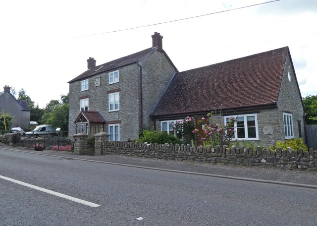
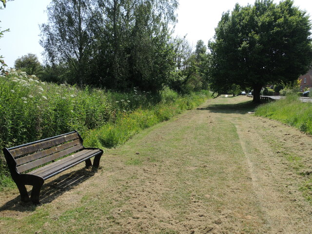
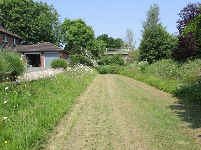
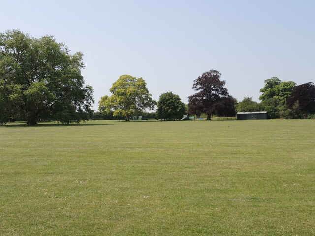
The village is characterized by its picturesque setting, with rolling hills, lush green fields, and charming traditional cottages dotting the landscape. It is a close-knit community, with a population of around 300 residents.
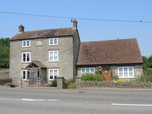
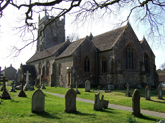
Although small in size, Higher Marsh has a rich history, dating back to the medieval period. The village retains much of its historic charm, with several well-preserved buildings and landmarks. The St. Mary's Church, a Grade II listed building, is a prominent feature in the village, displaying stunning architectural details and serving as a gathering place for religious ceremonies and community events.
The village offers a peaceful and tranquil environment, providing an escape from the hustle and bustle of city life. It is a popular destination for nature enthusiasts and outdoor lovers, with numerous walking and cycling routes in the surrounding countryside.
Despite its rural location, Higher Marsh benefits from good transport links, making it easily accessible for both residents and visitors. The nearby A303 road provides convenient connections to major towns and cities in the region.
In conclusion, Higher Marsh, Somerset, is a quaint and idyllic village that offers a peaceful retreat within the stunning natural beauty of the Blackdown Hills. With its rich history, close community, and abundance of outdoor activities, Higher Marsh provides a charming getaway for those seeking a slower pace of life.
If you have any feedback on the listing, please let us know in the comments section below.
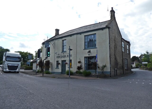
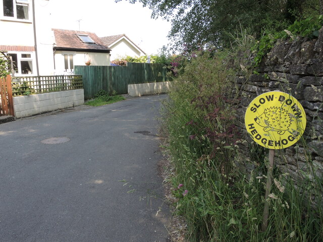
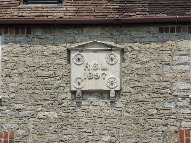
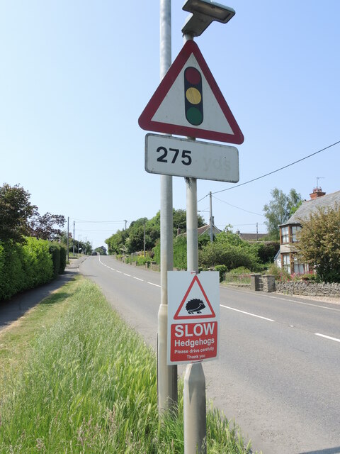
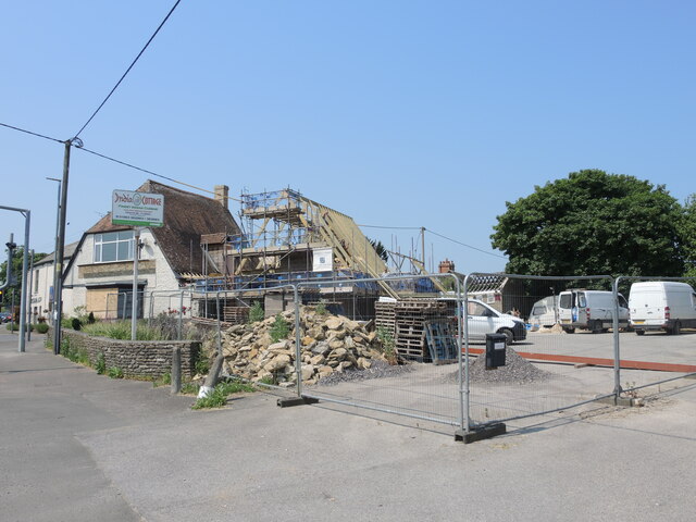
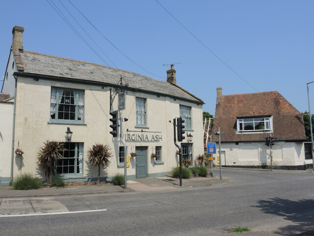
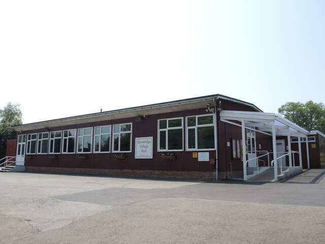
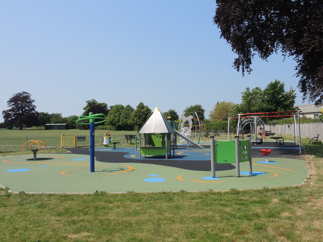
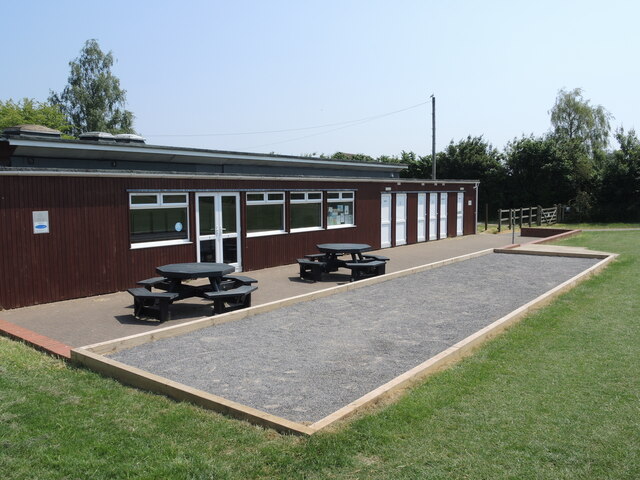
Higher Marsh Images
Images are sourced within 2km of 50.97877/-2.3859693 or Grid Reference ST7320. Thanks to Geograph Open Source API. All images are credited.
Higher Marsh is located at Grid Ref: ST7320 (Lat: 50.97877, Lng: -2.3859693)
Administrative County: Somerset
District: South Somerset
Police Authority: Avon and Somerset
What 3 Words
///sidelined.relocated.unlucky. Near Henstridge, Somerset
Nearby Locations
Related Wikis

Henstridge railway station
Henstridge railway station was a station at Henstridge in the county of Somerset, in England. It was located on the Somerset and Dorset Joint Railway....
Henstridge
Henstridge is a village and civil parish in Somerset, England, situated 5 miles (8.0 km) east of Sherborne in the South Somerset district, near the border...
Church of St Nicholas, Henstridge
The Church of St Nicholas in Henstridge, Somerset, England was built in the 12th century. It is a Grade II* listed building. == History == The church was...

Yenston
Yenston is a small hamlet in Somerset within the Parish of Henstridge. Located on the A357, the hamlet is located between Templecombe and Henstridge....

Yenston Priory
Yenston Priory was a Benedictine priory in Henstridge, Somerset, England. It was a cell of the Abbey of Sever in Normandy, France. It was founded by Hugh...
Stalbridge railway station
Stalbridge railway station was a station in Stalbridge in the county of Dorset, England. It was located on the Somerset and Dorset Joint Railway. Sited...
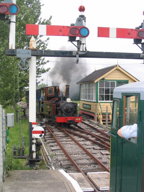
Gartell Light Railway
The Gartell Light Railway is a privately run narrow gauge railway located at Yenston in the Blackmore Vale, south of Templecombe, in Somerset, England...

Stalbridge
Stalbridge () is a town and civil parish in Dorset, England, situated in the Blackmore Vale, near the border with Somerset. In the 2011 census the civil...
Nearby Amenities
Located within 500m of 50.97877,-2.3859693Have you been to Higher Marsh?
Leave your review of Higher Marsh below (or comments, questions and feedback).