Higher Kingcombe
Settlement in Dorset
England
Higher Kingcombe
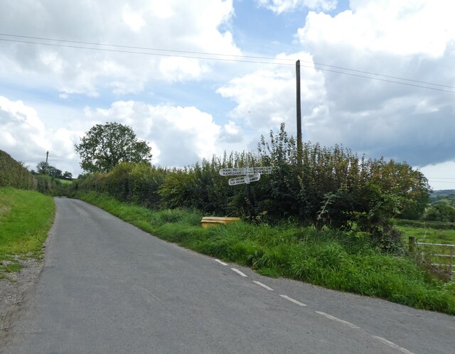
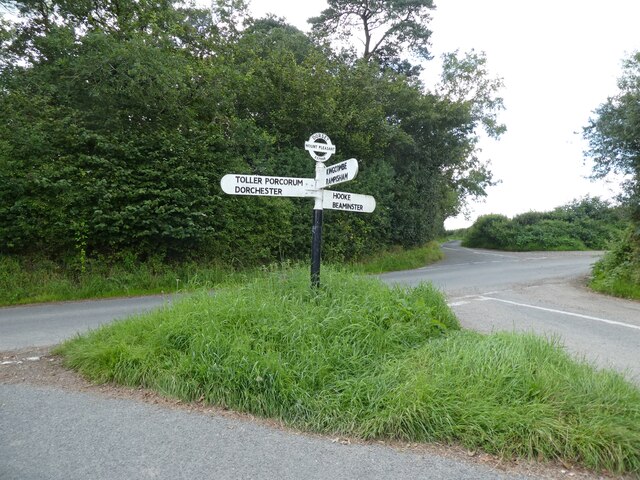
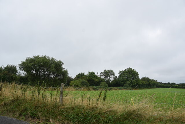
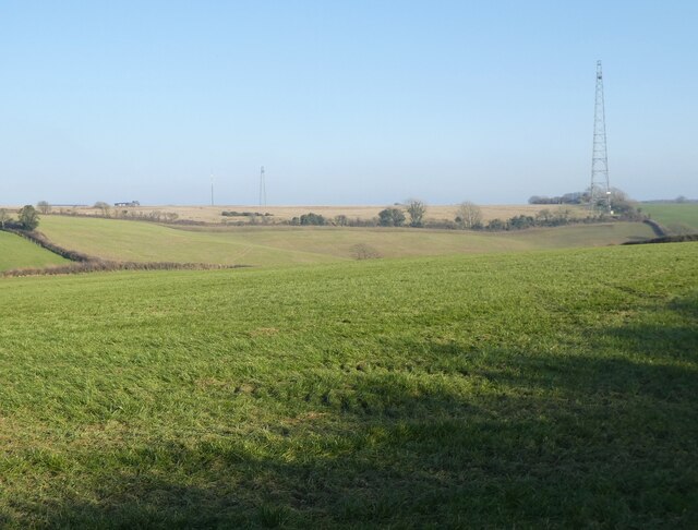
Higher Kingcombe is a small village located in the county of Dorset, England. Situated in the heart of the Dorset Area of Outstanding Natural Beauty, this picturesque hamlet is surrounded by stunning countryside and offers a peaceful and idyllic setting for its residents and visitors.
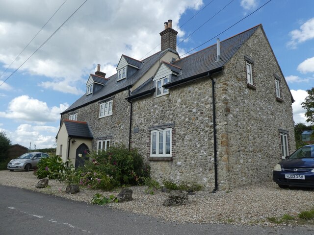
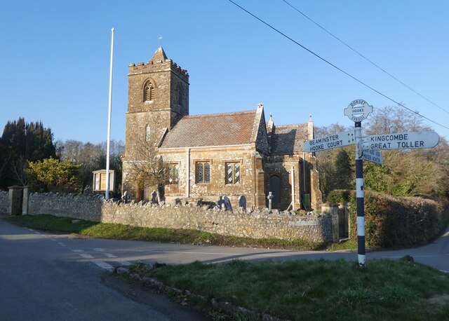
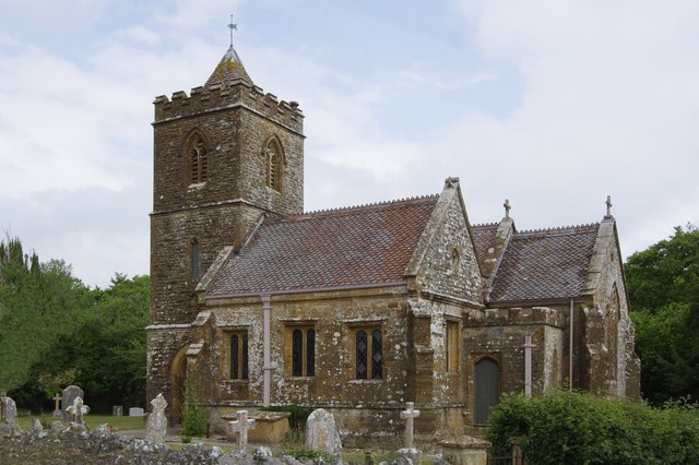
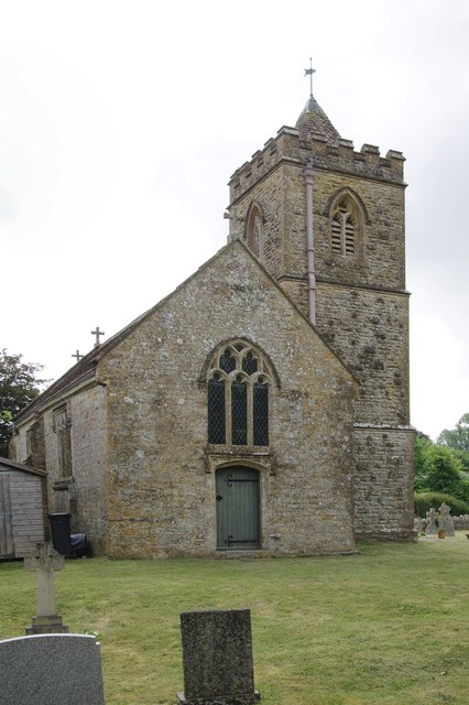
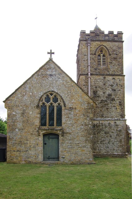
The village is renowned for its beautiful traditional cottages, many of which date back to the 17th and 18th centuries, adding to its charm and character. The local church, St. Michael and All Angels, is a prominent landmark in the village and holds regular services for the community.
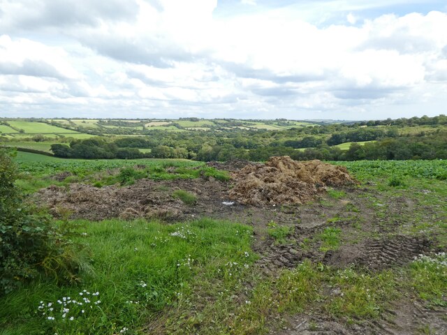
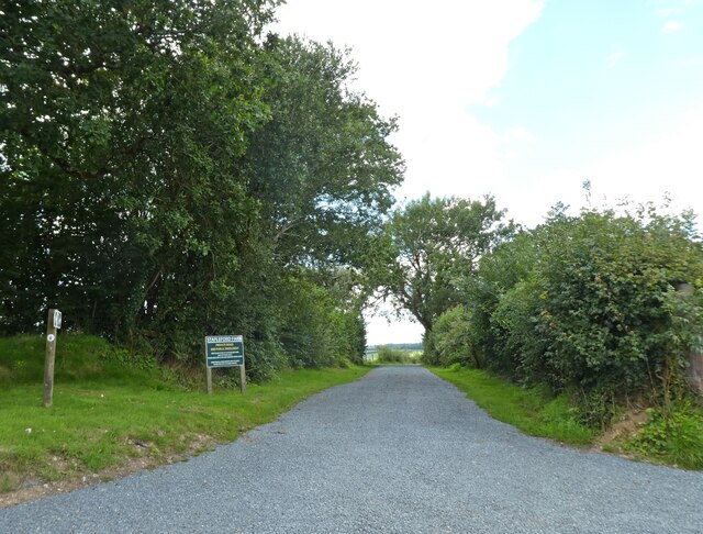
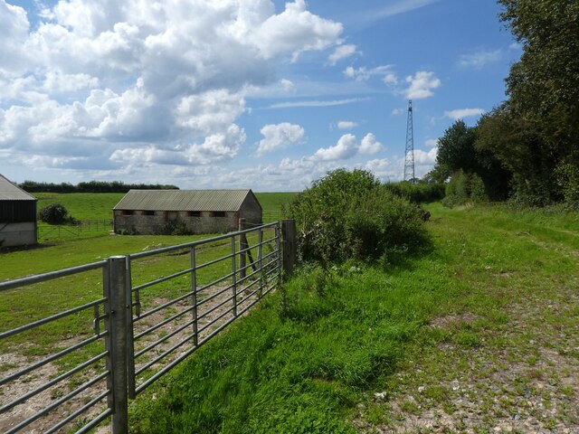
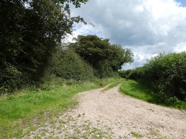
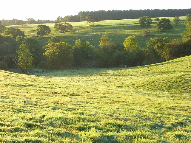
Nature lovers and outdoor enthusiasts are drawn to Higher Kingcombe due to its close proximity to the Kingcombe Meadows Nature Reserve. This reserve is home to a diverse range of wildlife, including rare species of butterflies, birds, and wildflowers. The reserve also offers various walking trails, allowing visitors to explore and appreciate the natural beauty of the surrounding landscape.
The village has a strong sense of community, with regular village events and activities organized throughout the year. These events often take place in the village hall, which serves as a hub for social gatherings and community meetings.
While Higher Kingcombe may be a small village, it benefits from its close proximity to larger towns and cities. Dorchester, the county town of Dorset, is a short drive away and offers a wider range of amenities, including shops, restaurants, and leisure facilities. Overall, Higher Kingcombe is a charming and tranquil village, perfect for those seeking a peaceful rural retreat.
If you have any feedback on the listing, please let us know in the comments section below.
Higher Kingcombe Images
Images are sourced within 2km of 50.797574/-2.644222 or Grid Reference SY5499. Thanks to Geograph Open Source API. All images are credited.


Higher Kingcombe is located at Grid Ref: SY5499 (Lat: 50.797574, Lng: -2.644222)
Unitary Authority: Dorset
Police Authority: Dorset
What 3 Words
///target.careful.lordship. Near Maiden Newton, Dorset
Nearby Locations
Related Wikis

Hooke, Dorset
Hooke is a small village and civil parish in the county of Dorset in southern England, situated about 7 miles (11 km) northeast of the town of Bridport...

Rampisham Down
Rampisham Down is a chalk hill in the Dorset Downs, eight miles north west of Dorchester in west Dorset, England. The highest part of the hill is 221...
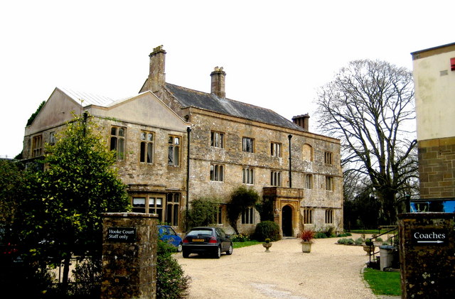
Hooke Court
Hooke Court is a 17th-century manor house in the parish of Hooke in Dorset, England. It is a Grade II* listed building built around the time of the English...

Drackenorth
Drackenorth or Drakenorth is a prominent hill, 221 metres (725 ft) high, 3 km NNE of Powerstock on the Jubilee Trail in the county of Dorset in southern...

Warren Hill, Hooke, Dorset
Warren Hill is a prominent elevation, 215 metres (705 ft) high, 1 kilometre southwest of the hamlet of Hooke, in the county of Dorset in southern England...
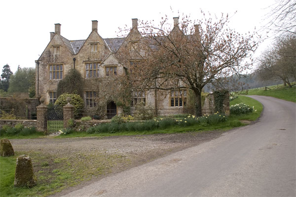
Wraxall Manor
Wraxall Manor is a grade II* listed manor house in Wraxall, Dorset, England. The house was built in about 1630, probably for William Lawrence. == References... ==
Aunt Mary's Bottom
Aunt Mary's Bottom (grid reference ST546023) is an 8.62 hectare biological Site of Special Scientific Interest in Dorset, England notified in 1991. �...
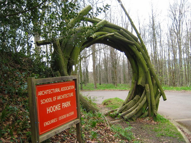
Hooke Park
Hooke Park is a 142 hectare woodland in Dorset, South West England located near the town of Beaminster and within the Dorset Area of Outstanding Natural...
Nearby Amenities
Located within 500m of 50.797574,-2.644222Have you been to Higher Kingcombe?
Leave your review of Higher Kingcombe below (or comments, questions and feedback).