A' Chràileag
Hill, Mountain in Ross-shire
Scotland
A' Chràileag
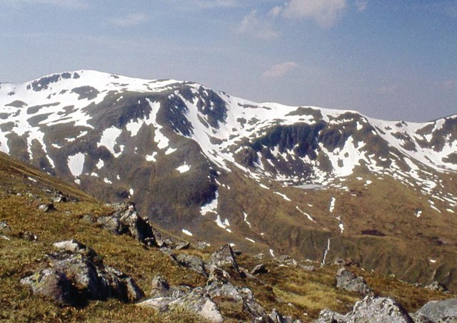
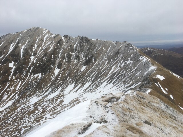
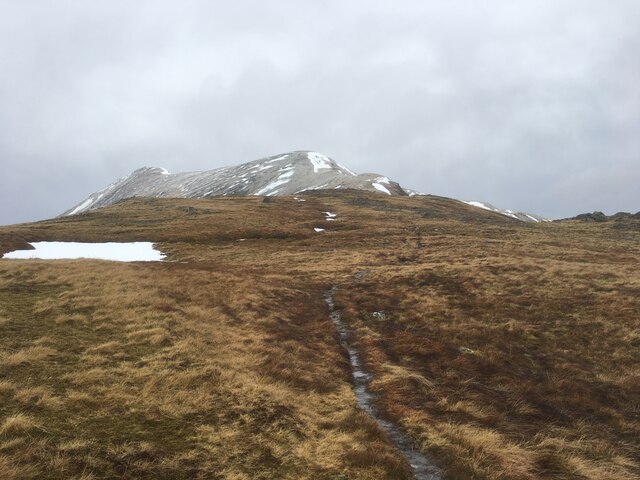
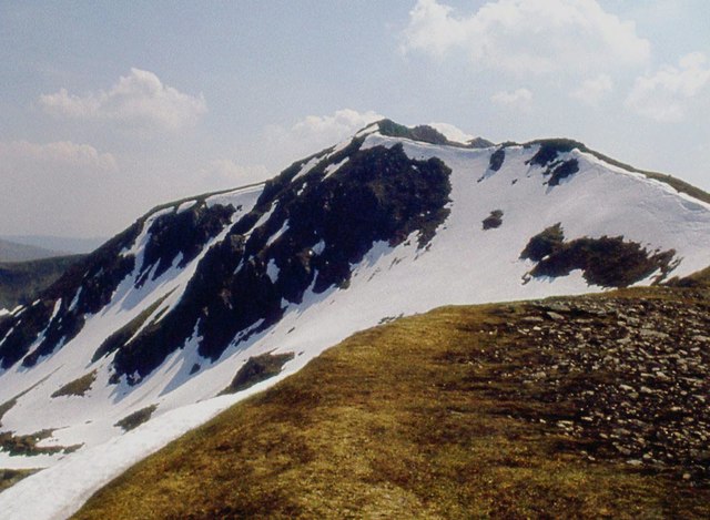
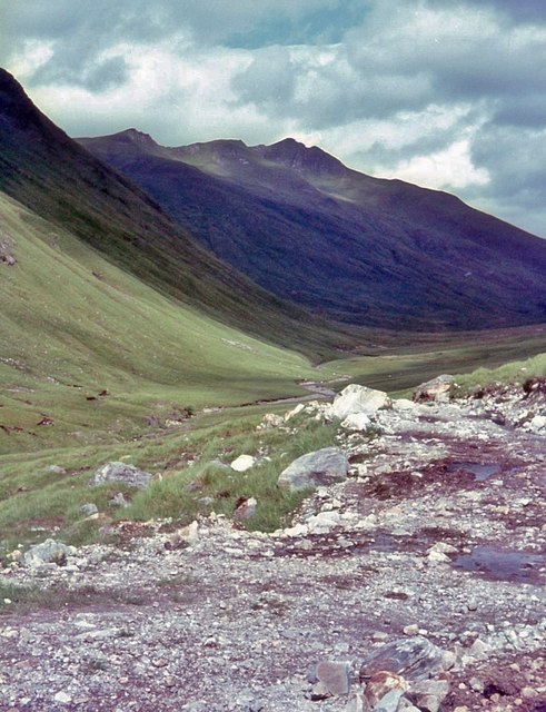
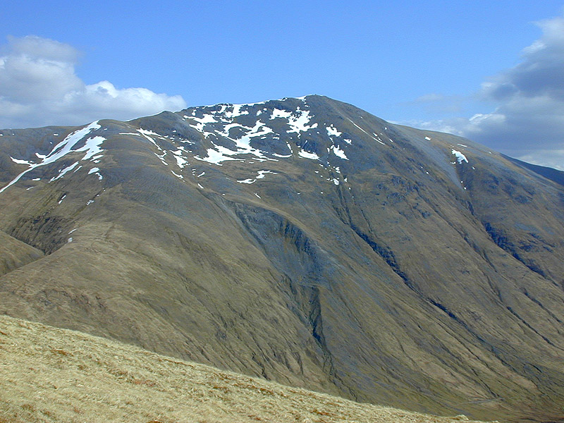
A' Chràileag is a prominent hill located in the county of Ross-shire, in the Highlands of Scotland. It is part of the Torridon mountain range and stands at an impressive height of 3,055 feet (931 meters). The hill is known for its distinctive shape, with its summit forming a sharp pyramid-like peak that is visible from afar.
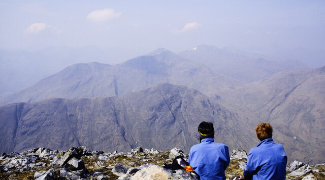
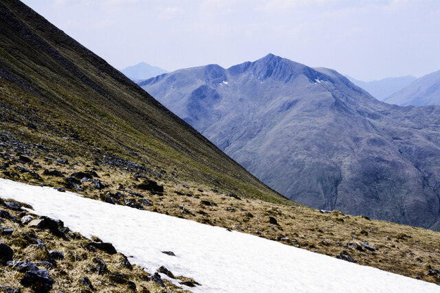
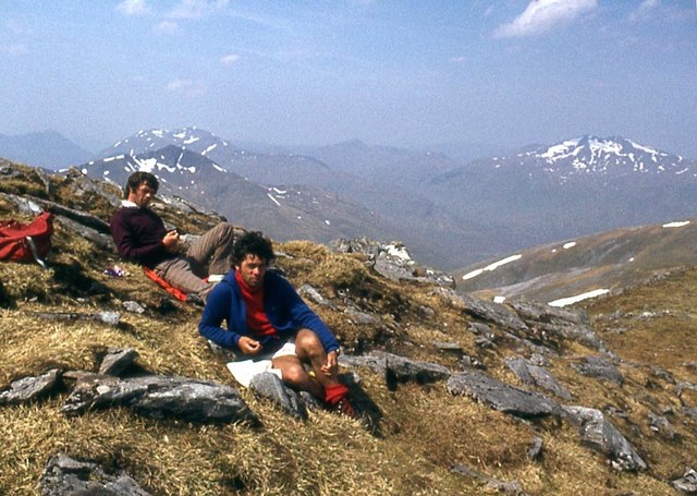
A' Chràileag is a popular destination for hillwalkers and mountaineers due to its challenging ascent and breathtaking panoramic views from the top. The hill is often climbed in conjunction with its neighboring peak, Mullach an Rathain, which is the highest peak in the Torridon range.
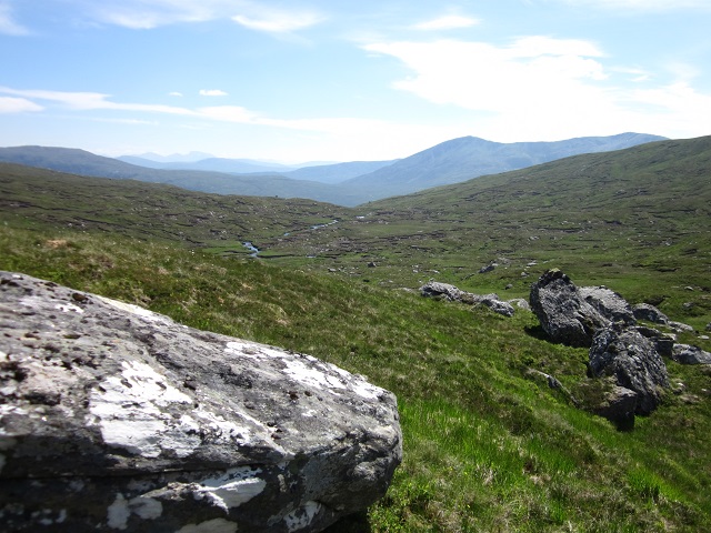
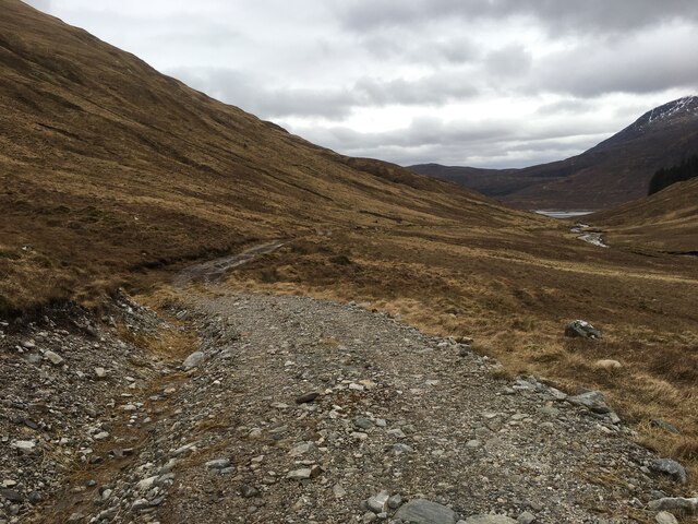
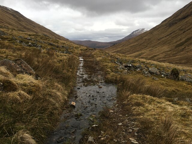
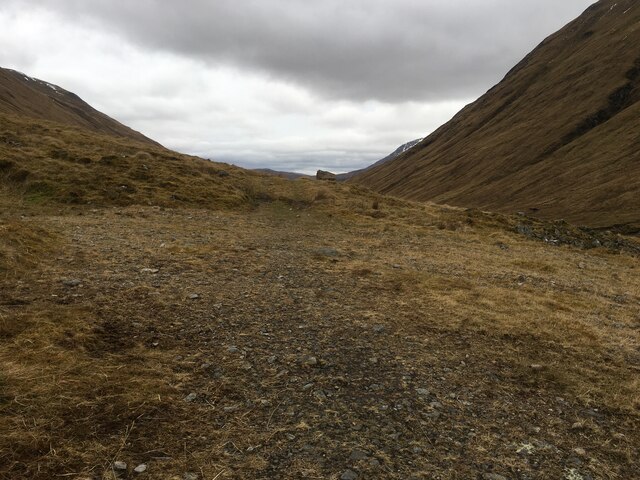
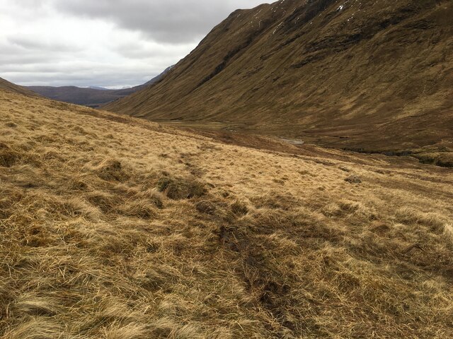
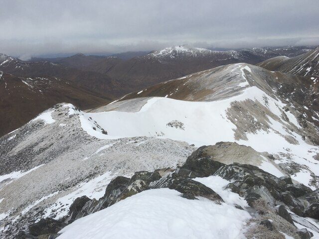
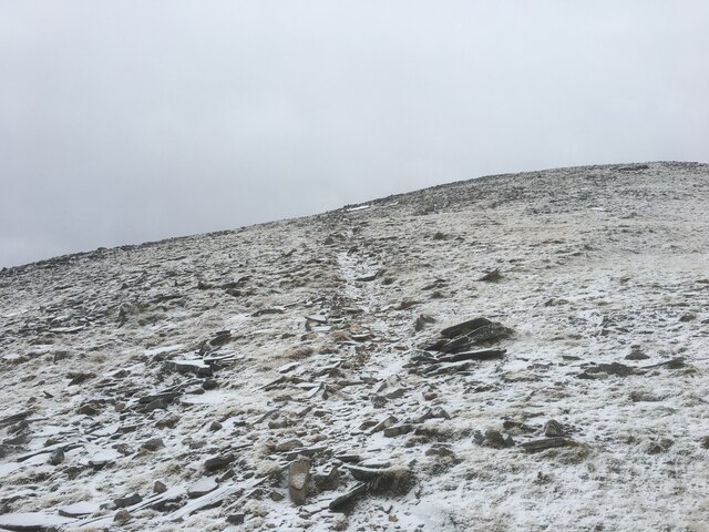
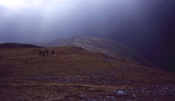
The ascent of A' Chràileag typically starts from the village of Kinlochewe, where a well-defined path leads walkers through a combination of open moorland, steep slopes, and rocky terrain. As the hill is located in a relatively remote area, it offers a sense of isolation and tranquility, allowing visitors to connect with nature and enjoy the peaceful surroundings.
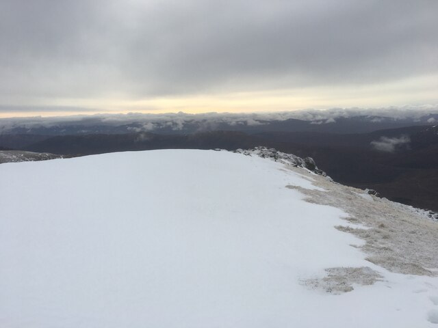
On a clear day, the summit of A' Chràileag offers stunning vistas across the surrounding landscape, including the nearby Loch Clair and Loch Coulin. The hill is also home to a variety of wildlife, including red deer, golden eagles, and ptarmigans, making it a haven for nature enthusiasts and birdwatchers.
Overall, A' Chràileag is a remarkable hill in Ross-shire, offering a challenging yet rewarding climb, breathtaking views, and the opportunity to immerse oneself in the natural beauty of the Scottish Highlands.
If you have any feedback on the listing, please let us know in the comments section below.
A' Chràileag Images
Images are sourced within 2km of 57.184306/-5.1549335 or Grid Reference NH0914. Thanks to Geograph Open Source API. All images are credited.

A' Chràileag is located at Grid Ref: NH0914 (Lat: 57.184306, Lng: -5.1549335)
Unitary Authority: Highland
Police Authority: Highlands and Islands
What 3 Words
///regular.beauty.stitching. Near Glenelg, Highland
Nearby Locations
Related Wikis
A' Chràlaig
A' Chralaig (Scottish Gaelic: A' Chràileag) is a mountain in the Northwest Highlands of Scotland, north of Loch Cluanie and south of Glen Affric. It is...

Am Bàthach
Am Bàthach is a Scottish mountain situated at the head of Glen Shiel, at the western end of Loch Cluanie some 38 km (24 mi) south east of Kyle of Lochalsh...

Mullach Fraoch-choire
Mullach Fraoch-choire is a 1,102-metre (3,615 ft) mountain – a Munro – in the Northwest Highlands of Scotland on a ridge extending north for 8 kilometres...

Sgùrr nan Conbhairean
Sgùrr nan Conbhairean (Scottish Gaelic for 'peak of the dog-men') is a mountain in the Northwest Highlands of Scotland, lying north of Loch Cluanie and...

Ciste Dhubh
Ciste Dhubh is a mountain in the Scottish Highlands, between Glen Shiel and Glen Affric. With a height of 979 metres (3,212 ft), it is classed as a Munro...

Aonach Meadhoin
Aonach Meadhoin is a Munro mountain situated in the Kintail region of Scotland. It stands on the northern side of Glen Shiel some 31 kilometres south east...
Last Ent of Affric
The Last Ent of Affric is an ancient elm in the Scottish Highlands, designated a Tree of National Special Interest (TNSI) by the Woodland Trust and named...

Glen Affric
Glen Affric (Scottish Gaelic: Gleann Afraig) is a glen south-west of the village of Cannich in the Highland region of Scotland, some 15 miles (25 kilometres...
Nearby Amenities
Located within 500m of 57.184306,-5.1549335Have you been to A' Chràileag?
Leave your review of A' Chràileag below (or comments, questions and feedback).