Cnoc an Àite Mhòir

Hill, Mountain in Sutherland

Scotland

Cnoc an Àite Mhòir

Common Sandpiper by the river This little wader obligingly posed on one of the fishing piers on the River Inver.
Common Sandpiper by the river Credit: Gordon Hatton

Cnoc an Àite Mhòir is a prominent hill located in the county of Sutherland in the Scottish Highlands. With an elevation of approximately 862 meters (2,828 feet), it is classified as a Corbett, which is a Scottish mountain between 2,500 and 3,000 feet in height.

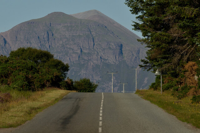
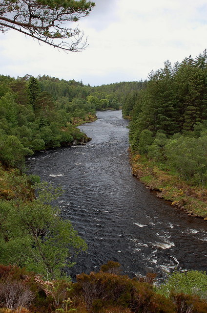
Situated in the far north of Scotland, Cnoc an Àite Mhòir offers breathtaking panoramic views of the surrounding landscape. From its summit, one can see vast stretches of rugged terrain, including rolling hills, lochs, and distant mountain ranges. On a clear day, it is even possible to catch a glimpse of the North Sea.

The hill is characterized by its steep slopes and rocky terrain, making it a challenging but rewarding climb for outdoor enthusiasts and hillwalkers. The ascent typically begins from the small village of Scourie, where a well-defined path leads up to the summit. Along the way, hikers may encounter a variety of wildlife, including red deer and golden eagles.

Cnoc an Àite Mhòir is also known for its historical significance. The hill is believed to have been used as a stronghold by the Clan Mackay during the medieval period. Remnants of their fortifications can still be seen on the hillside, adding to its allure for history enthusiasts.

Overall, Cnoc an Àite Mhòir offers a thrilling and rewarding experience for those seeking to explore the rugged beauty of the Scottish Highlands. Its stunning vistas, challenging terrain, and historical significance make it a must-visit destination for outdoor adventurers and nature lovers alike.

If you have any feedback on the listing, please let us know in the comments section below.

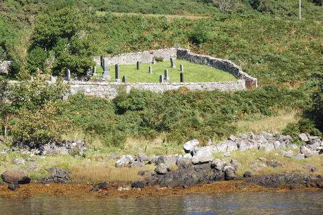
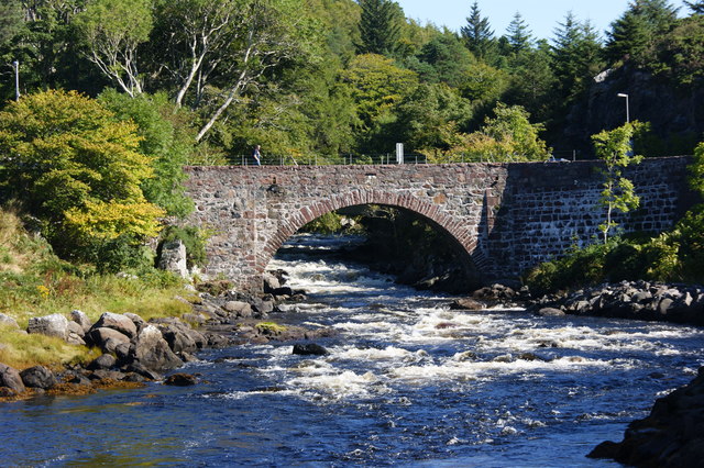
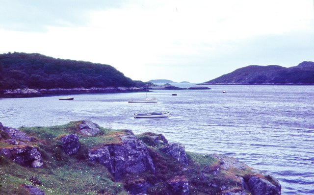
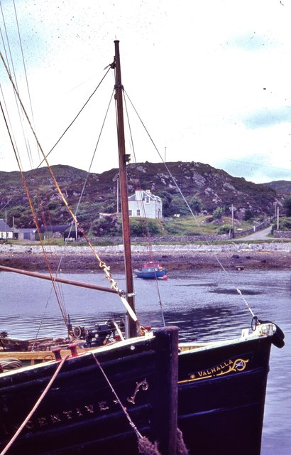
Cnoc an Àite Mhòir Images

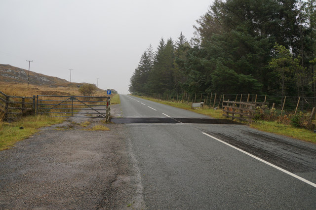
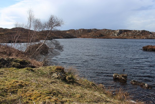
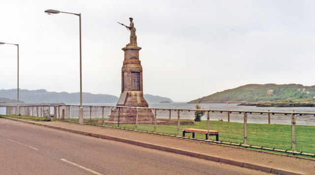
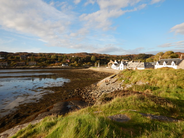
Images are sourced within 2km of 58.165934/-5.241475 or Grid Reference NC0924. Thanks to Geograph Open Source API. All images are credited.

Common Sandpiper by the river This little wader obligingly posed on one of the fishing piers on the River Inver.
Common Sandpiper by the river
This little wader obligingly posed on one of the fishing piers on the River Inver.
Fishing piers on the Inver There are a number of timber and stone piers built out into the River Inver for the convenience of salmon fishermen.
Fishing piers on the Inver
There are a number of timber and stone piers built out into the River Inver for the convenience of salmon fishermen.
Upstream along the Inver This section of the river is relatively wide, shallow and slow running. There are both timber and stone piers to be seen either side of the river.
Upstream along the Inver
This section of the river is relatively wide, shallow and slow running. There are both timber and stone piers to be seen either side of the river.
Loch nan Eun A small loch beside the A837
Loch nan Eun
A small loch beside the A837
A Highland Road on the NC500, the A837 near Lochinver, Sutherland View looking east along the A837 as it leaves Lochinver towards Ullapool and the South.  Part of the NC500 tourist route, the A837 is an important route for transporting fish landed at Lochinver to Britain and the European continent.  The mountain in the background is Quinag, one of the impressive rocky peaks of the Assynt region in north western Scotland.
A Highland Road on the NC500, the A837 near Lochinver, Sutherland
View looking east along the A837 as it leaves Lochinver towards Ullapool and the South. Part of the NC500 tourist route, the A837 is an important route for transporting fish landed at Lochinver to Britain and the European continent. The mountain in the background is Quinag, one of the impressive rocky peaks of the Assynt region in north western Scotland.
Fishing platform, River Inver One of several wooden stages along the S bank of the river.
Fishing platform, River Inver
One of several wooden stages along the S bank of the river.
Looking westwards along the River Inver A view of the river downstream before it descends to the sea at Loch Inver.
Looking westwards along the River Inver
A view of the river downstream before it descends to the sea at Loch Inver.
Fishing jetty and weirs, River Inver There are several weirs along this level stretch of the river, with fishing places.
Fishing jetty and weirs, River Inver
There are several weirs along this level stretch of the river, with fishing places.
Footbridge and weir, River Inver Plenty of water here after wet weather in the NW Highlands. An elegant fishing hut is just visible through the trees on the other bank.
Footbridge and weir, River Inver
Plenty of water here after wet weather in the NW Highlands. An elegant fishing hut is just visible through the trees on the other bank.
Cattle grid on the A837 near Cnoc an Tolla Bhaid
Loch nan Eun
Loch nan Eun
Lochinver: War Memorial and SW towards the sea, 1994 The eponymous town, noted for its fishing, has no proper access except from the north, on the A837 from Ledmore along Loch Assynt and via Inchnadamph. The view is SW, to the sea about 2 1/2 miles away.
Lochinver: War Memorial and SW towards the sea, 1994
The eponymous town, noted for its fishing, has no proper access except from the north, on the A837 from Ledmore along Loch Assynt and via Inchnadamph. The view is SW, to the sea about 2 1/2 miles away.
Lochinver Coastal village on the River Inver.
Lochinver
Coastal village on the River Inver.
Lochinver Cemetery Looking north from the southern bank of river Inver.
Lochinver Cemetery
Looking north from the southern bank of river Inver.
Bridge over the river Inver Carrying the Baddidaroch Road over the river.
Bridge over the river Inver
Carrying the Baddidaroch Road over the river.
Looking west towards the open sea, Lochinver I am willing to accept a challenge on precise location of viewpoint
Looking west towards the open sea, Lochinver
I am willing to accept a challenge on precise location of viewpoint
Fishing vessels at Culag Pier, Lochinver
River Inver The last kilometre of the Inver is a turbulent one, the river running through a deep forested valley with several small falls and rapids.
River Inver
The last kilometre of the Inver is a turbulent one, the river running through a deep forested valley with several small falls and rapids.
Show me another place!

Cnoc an Àite Mhòir is located at Grid Ref: NC0924 (Lat: 58.165934, Lng: -5.241475)

Unitary Authority: Highland

Police Authority: Highlands and Islands

What 3 Words

///forced.alleyway.requested. Near Clachtoll, Highland

Related Wikis

Loch an Tuirc

Loch an Tuirc is a large irregular shaped, shallow loch, located about two miles north-by-north-east of Lochinver in the Assynt district of Sutherland...

Loch Culag

Loch Culag also known as Loch na Doire Daraich is a small freshwater shallow loch, located south of Lochinver in the Assynt district of Sutherland, Highland...

Strathan, Sutherland

Strathan is a remote scattered coastal village, located in Bàgh an t-strathain Bay, which lies on the south shore of the sea loch, Loch Inver, in the Assynt...

Loch Inver

Loch Inver is a 3.62-kilometre-long (1+61⁄64-nautical-mile) sea loch in Assynt, Sutherland and is on the northwest coast of Scotland. The loch meets the...

Nearby Amenities

Located within 500m of 58.165934,-5.241475
Power: pole
Lat/Long: 58.1624942/-5.244365
Power: pole
Lat/Long: 58.1623867/-5.2432197
Material: wood
Power: pole
Lat/Long: 58.1623117/-5.2425143
Material: wood
Power: pole
Lat/Long: 58.1621688/-5.241192
Material: wood
Power: pole
Lat/Long: 58.1619296/-5.2388263
Material: wood
Power: pole
Lat/Long: 58.1620542/-5.2400386
Power: pole
Lat/Long: 58.1619785/-5.2387546
Power: pole
Lat/Long: 58.1621921/-5.2383984
Power: pole
Lat/Long: 58.162569/-5.2375165
Power: pole
Lat/Long: 58.1626573/-5.2456577
Power: pole
Lat/Long: 58.1628935/-5.2469893
Power: pole
Lat/Long: 58.1630681/-5.2474799
Power: pole
Lat/Long: 58.1667365/-5.2497274
Power: pole
Lat/Long: 58.1663946/-5.2488143
Power: pole
Lat/Long: 58.1661199/-5.2481155
Power: pole
Lat/Long: 58.1660927/-5.2473309
Power: pole
Lat/Long: 58.1656948/-5.2457142
Power: pole
Lat/Long: 58.1655315/-5.2450776
Power: pole
Lat/Long: 58.165014/-5.2447583
Power: pole
Lat/Long: 58.1643794/-5.2443748
Power: pole
Lat/Long: 58.1642059/-5.243672
Power: pole
Lat/Long: 58.1640149/-5.2429303
Power: pole
Lat/Long: 58.1636021/-5.2430082
Power: pole
Lat/Long: 58.1630732/-5.2431153
Power: pole
Lat/Long: 58.1633813/-5.2424865
Recycling
Lochinver Recycling Centre
Addr City: Lochinver
Addr Postcode: IV27 4JB
Addr Street: Torbreck
Owner: Highland Council
Ownership: municipal
Recycling Type: centre
Website: https://www.highland.gov.uk/directory_record/1096832/lochinver_recycling_centre/category/484/recycling_centres
Wikidata: Q106085798
Lat/Long: 58.1645541/-5.2392256
The data included in this document is from www.openstreetmap.org. The data is made available under ODbL.

Have you been to Cnoc an Àite Mhòir?

Leave your review of Cnoc an Àite Mhòir below (or comments, questions and feedback).