Martin Hill
Hill, Mountain in Pembrokeshire
Wales
Martin Hill
Martin Hill is a prominent and picturesque hill located in Pembrokeshire, Wales. Standing at an elevation of approximately 163 meters (535 feet), it is part of the Preseli Hills, a range known for its rugged beauty and rich history.
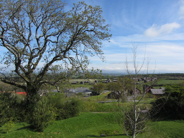
Covered in a patchwork of heather, gorse, and grass, Martin Hill offers breathtaking panoramic views of the surrounding countryside, including the nearby coastal areas and the Preseli Hills themselves. On clear days, it is even possible to see as far as the Irish Sea.
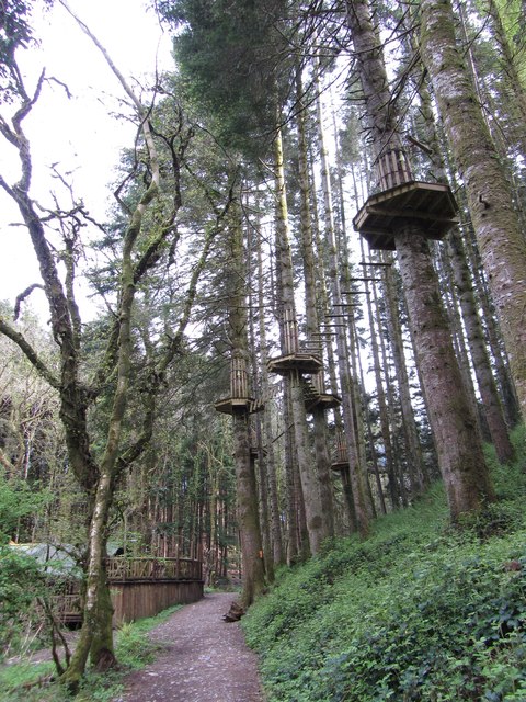
The hill is popular among hikers and nature enthusiasts, offering various walking trails that cater to different difficulty levels. The most common route begins from the nearby village of Rosebush and takes approximately two hours to complete. Along the way, visitors can admire the diverse flora and fauna, including bird species such as red kites, buzzards, and skylarks.
Martin Hill also holds historical significance, as it is believed to be the source of the iconic bluestones used in the construction of Stonehenge, located more than 250 kilometers (155 miles) away. The bluestones were transported from Martin Hill to the ancient monument around 5,000 years ago, making it a site of archaeological interest.
Overall, Martin Hill offers a captivating blend of natural beauty and historical significance, making it a must-visit destination for those exploring the enchanting landscapes of Pembrokeshire.
If you have any feedback on the listing, please let us know in the comments section below.
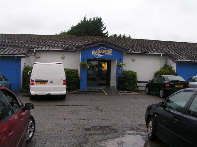
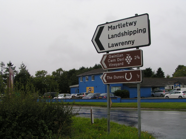
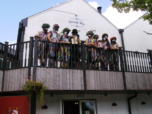
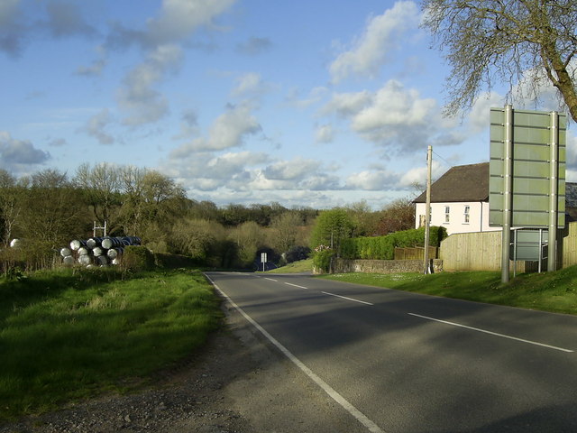
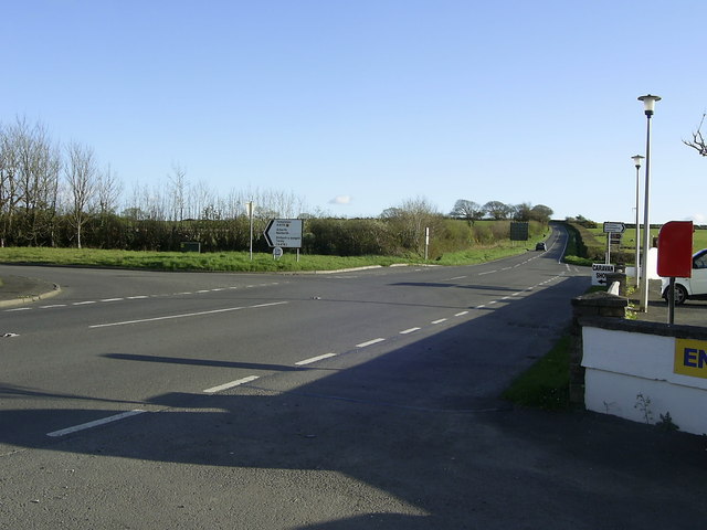
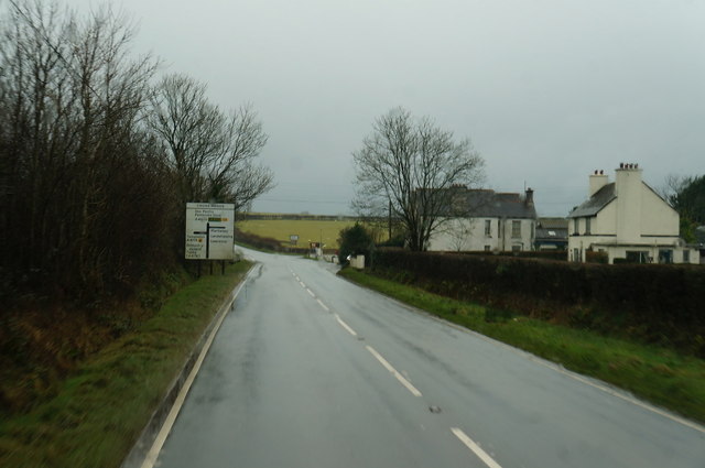
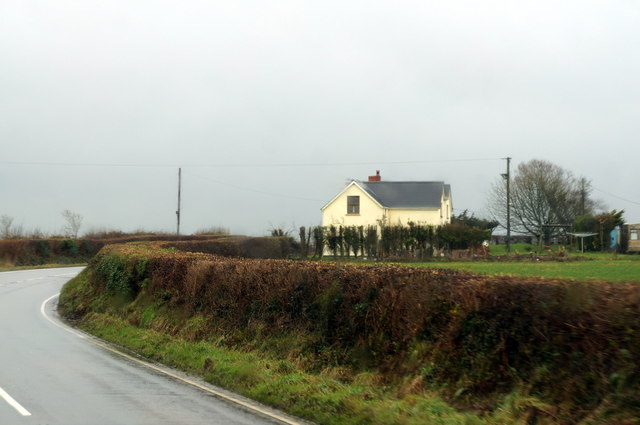
Martin Hill Images
Images are sourced within 2km of 51.76957/-4.7987404 or Grid Reference SN0611. Thanks to Geograph Open Source API. All images are credited.


Martin Hill is located at Grid Ref: SN0611 (Lat: 51.76957, Lng: -4.7987404)
Unitary Authority: Pembrokeshire
Police Authority: Dyfed Powys
What 3 Words
///dots.remarked.comedians. Near Templeton, Pembrokeshire
Nearby Locations
Related Wikis

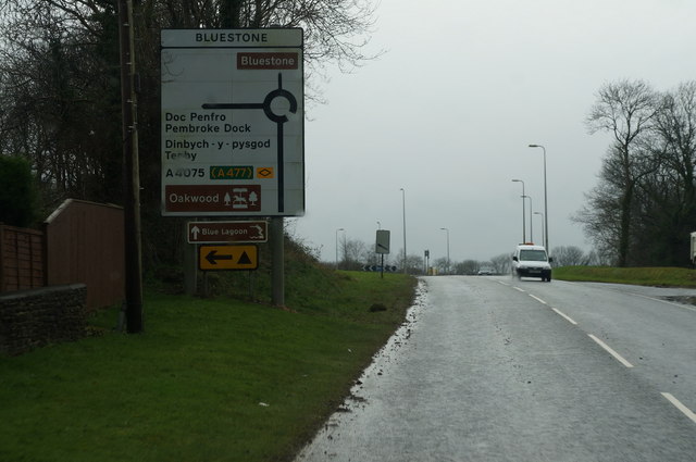
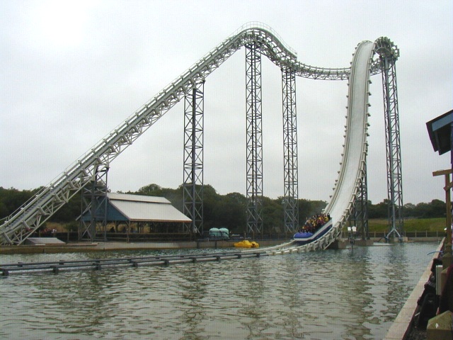
Oakwood Theme Park
Oakwood Theme Park (formerly Oakwood Leisure Park, Oakwood Coaster Country & Oakwood Park) is a theme park in Pembrokeshire, Wales. Oakwood opened in the...

Speed: No Limits
Speed: No Limits is a roller coaster at Oakwood Theme Park, Pembrokeshire, UK. It is a Gerstlauer Euro-Fighter and contains a 90° chain lift hill and a...

Blue Lagoon Water Park, Pembrokeshire
Blue Lagoon Water Park is an indoor waterpark near Canaston Bridge, Narberth in Pembrokeshire, Wales in the Bluestone National Park Resort. It opened in...

Megafobia
Megafobia is a wooden roller coaster located at Oakwood Theme Park, Pembrokeshire, Wales, United Kingdom. It opened on 30 April 1996 and was built by Custom...

Bluestone, Pembrokeshire
Bluestone National Park Resort is a holiday park in Pembrokeshire, southwest Wales. The resort falls partly within the boundaries of the Pembrokeshire...

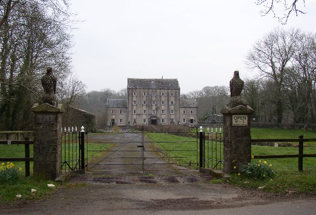
The Grove, Narberth
The Grove is a Grade II listed building of historical significance located south of Narberth, Pembrokeshire. It was built by Daniel Poyer in about 1680...

Reynalton
Reynalton is a small village and parish in Pembrokeshire, Wales, near Tenby and Kilgetty, and is in Kilgetty/Begelly community. == History == === Parish... ===
Blackpool Mill
Blackpool Mill is a 19th century flour mill in the community of Martletwy, in the Pembrokeshire Coast National Park. It sits to the west of Blackpool Bridge...
Nearby Amenities
Located within 500m of 51.76957,-4.7987404Have you been to Martin Hill?
Leave your review of Martin Hill below (or comments, questions and feedback).