A' Chruach
Hill, Mountain in Argyllshire
Scotland
A' Chruach
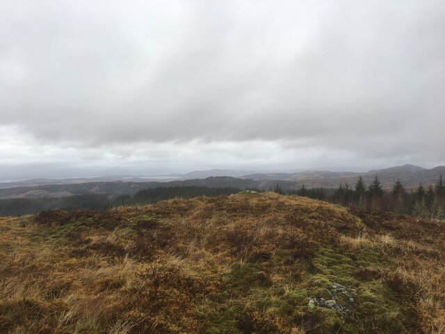
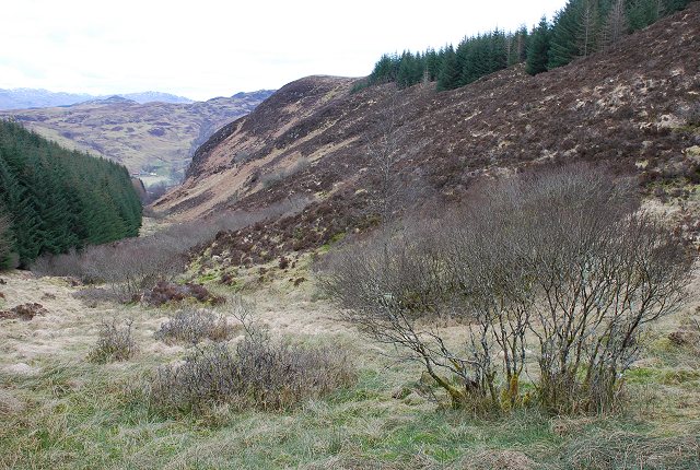
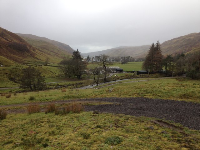
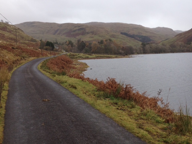
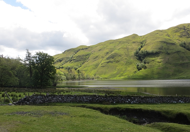
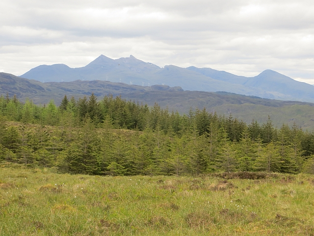
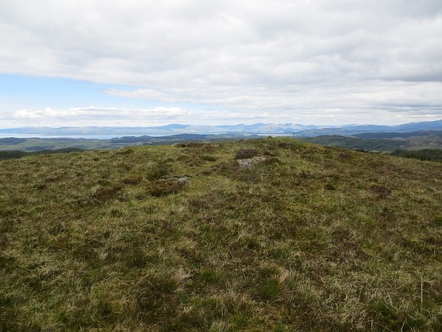
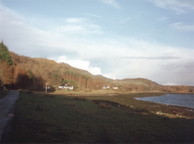
A' Chruach is a prominent hill located in Argyllshire, Scotland. It stands at an impressive height of 415 meters (1,361 feet) above sea level and is part of the picturesque landscape of the region. Situated near the village of Ardrishaig, A' Chruach offers breathtaking panoramic views of the surrounding area, including Loch Fyne and the nearby mountain range.
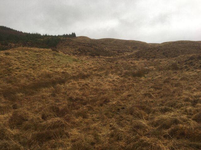
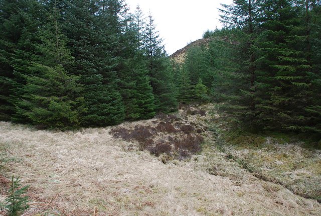
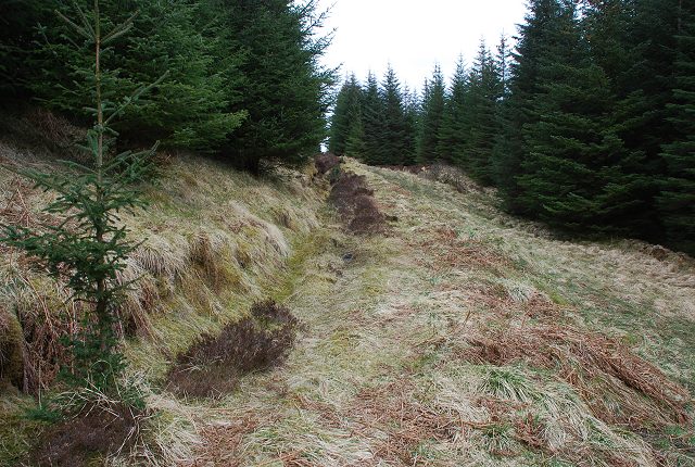
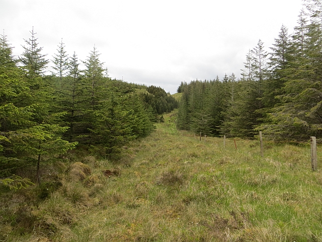
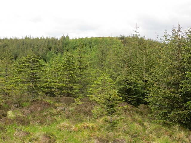
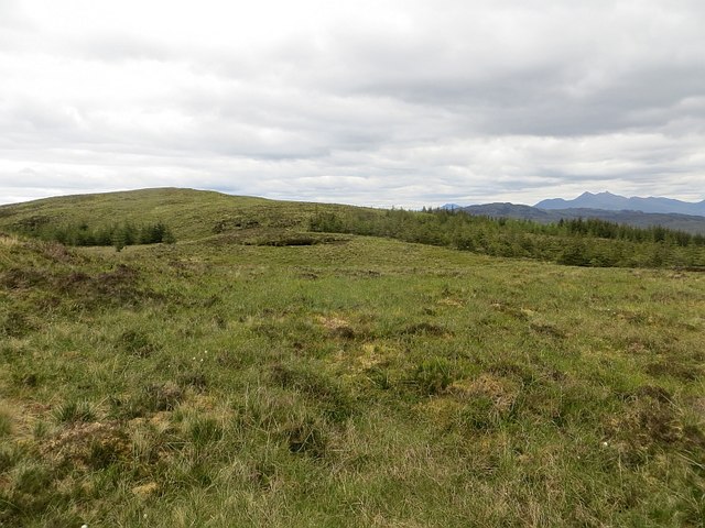
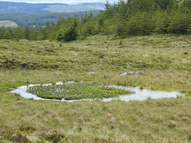
As one approaches the hill, its distinctive shape becomes apparent. A' Chruach is characterized by its steep slopes and rocky terrain, which make it a challenging but rewarding hike for outdoor enthusiasts. The hill is covered in a mix of heather, grass, and scattered boulders, adding to its natural beauty.
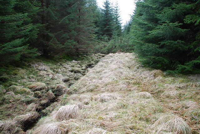
The ascent to the summit of A' Chruach can be achieved by following a well-defined path that winds its way up the hillside. Along the way, walkers may encounter various wildlife, including deer, birds of prey, and smaller mammals such as rabbits and hares.
Reaching the top of A' Chruach offers a sense of accomplishment and a chance to take in the breathtaking views of the surrounding countryside. On a clear day, one can see for miles, with the rugged mountains and rolling hills stretching out in all directions.
A' Chruach is a popular destination for hillwalkers and nature enthusiasts, offering a challenging yet accessible outdoor experience. Its stunning vistas, diverse flora and fauna, and tranquil atmosphere make it a must-visit location in Argyllshire for those seeking to connect with nature and experience the beauty of the Scottish highlands.
If you have any feedback on the listing, please let us know in the comments section below.
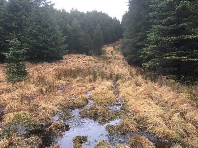
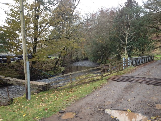
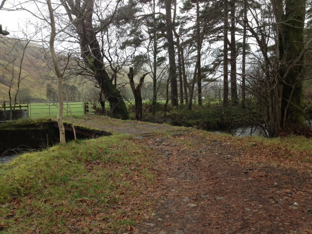
A' Chruach Images
Images are sourced within 2km of 56.342854/-5.3938561 or Grid Reference NM9021. Thanks to Geograph Open Source API. All images are credited.
A' Chruach is located at Grid Ref: NM9021 (Lat: 56.342854, Lng: -5.3938561)
Unitary Authority: Argyll and Bute
Police Authority: Argyll and West Dunbartonshire
What 3 Words
///nickname.microchip.potential. Near Oban, Argyll & Bute
Nearby Locations
Related Wikis

Battle of Lagganmore
The Battle of Lagganmore took place in 1646 at Lagganmore in Glen Euchar, west of Loch Scammadale. It was part of the Wars of the Three Kingdoms, though...
Ardentallen
Ardentallen (Scottish Gaelic: Àird an t-Sàilein) is a village in Argyll and Bute, Scotland. == References ==

Lorn and Islands Hospital
Lorn & Islands Hospital is a rural general hospital on the southern outskirts of Oban in Argyll, Scotland. It is managed by NHS Highland. == History... ==

Loch Avich
Loch of Avich is a large freshwater loch that lies approximately 1 mi (1.6 km) west of Loch Awe in Argyll and Bute in Scotland. It is the second biggest...
Nearby Amenities
Located within 500m of 56.342854,-5.3938561Have you been to A' Chruach?
Leave your review of A' Chruach below (or comments, questions and feedback).