Creag Mhòr

Hill, Mountain in Ross-shire

Scotland

Creag Mhòr

House at Allt-nan-sùgh Allt-nan-sùgh is a small, scattered settlement above Loch Long. The image was made in May 1995 when the property in view appeared to be in need of a new roof; in a later image it has clearly had one - <a title="https://www.geograph.org.uk/photo/3515162" href="https://www.geograph.org.uk/photo/3515162">Link</a> .
In the distance beyond the head of Loch Long are the peaks Ben Killilan and Sgùman Còinntich.
House at Allt-nan-sùgh Credit: Trevor Littlewood

Creag Mhòr is a prominent hill located in the county of Ross-shire, in the Scottish Highlands. It stands at an elevation of approximately 867 meters (2,844 feet) and is a popular destination for hikers and outdoor enthusiasts.

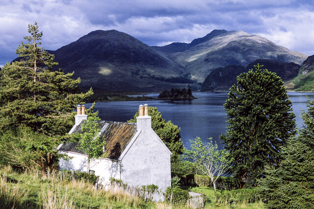
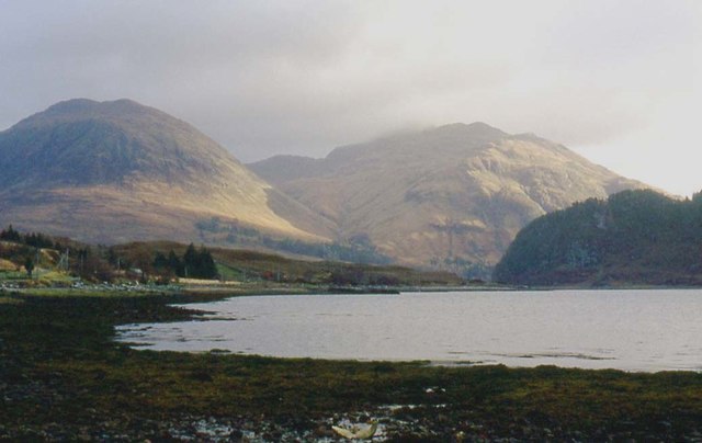
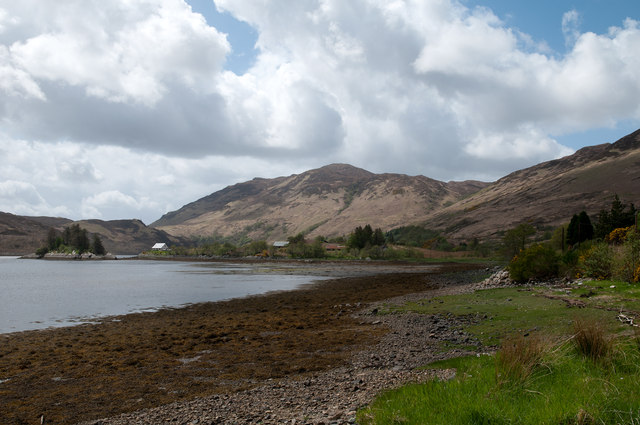
Situated within the remote and rugged landscape of the Scottish Highlands, Creag Mhòr offers breathtaking panoramic views of the surrounding area. On a clear day, visitors can enjoy vistas of rolling hills, deep glens, and shimmering lochs. The hill provides a fantastic vantage point to appreciate the natural beauty and wilderness of Ross-shire.

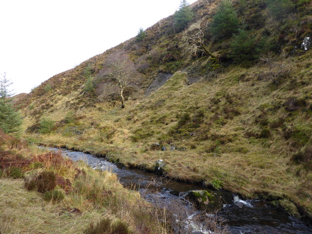
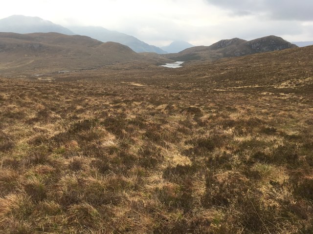
The ascent to the summit of Creag Mhòr can be challenging, with steep and rocky terrain to navigate. However, the effort is rewarded with stunning views and a sense of accomplishment. The hill is known to have a variety of wildlife, including deer, mountain hares, and various bird species, which adds to the allure of the climb.

Creag Mhòr is often accessed from nearby Kinlochewe, a small village in the region. There are several well-marked trails that lead to the hill, allowing visitors to choose a route that suits their preferences and fitness levels. It is advisable to check weather conditions and come prepared with appropriate clothing and equipment, as the Scottish Highlands are known for their changeable weather.

Overall, Creag Mhòr offers a rewarding and unforgettable experience for outdoor enthusiasts seeking to immerse themselves in the wild beauty of the Scottish Highlands.

If you have any feedback on the listing, please let us know in the comments section below.
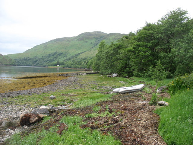
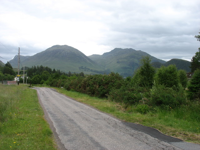
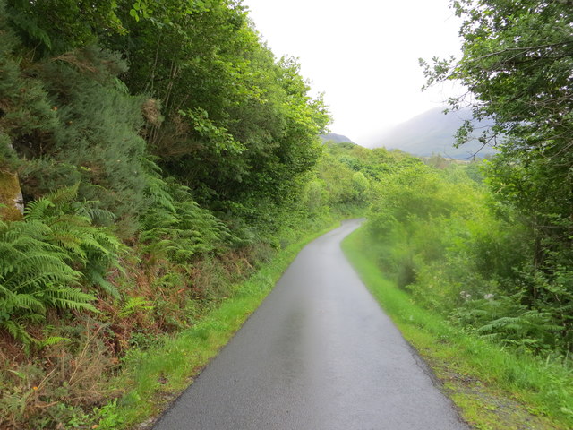
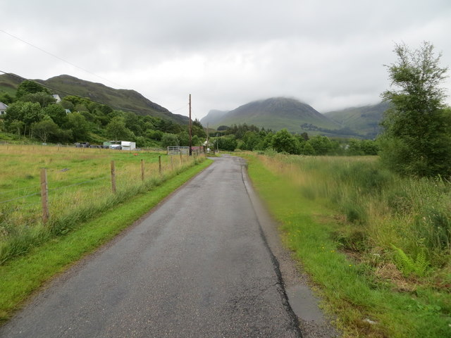
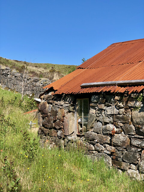
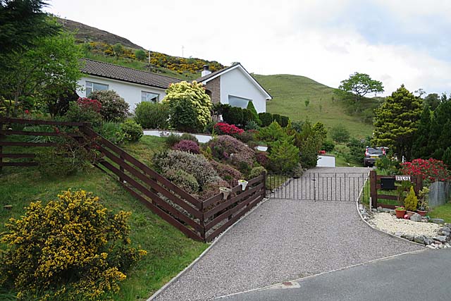
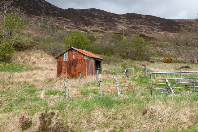
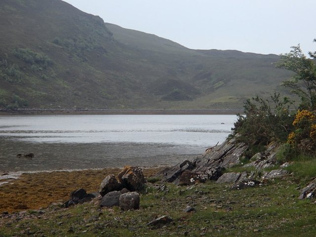
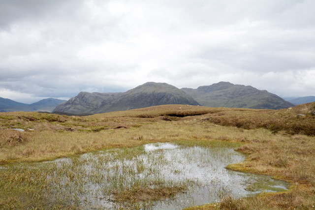
Creag Mhòr Images

Images are sourced within 2km of 57.32653/-5.4843863 or Grid Reference NG9031. Thanks to Geograph Open Source API. All images are credited.

House at Allt-nan-sùgh Allt-nan-sùgh is a small, scattered settlement above Loch Long. The image was made in May 1995 when the property in view appeared to be in need of a new roof; in a later image it has clearly had one - <a title="https://www.geograph.org.uk/photo/3515162" href="https://www.geograph.org.uk/photo/3515162">Link</a> .
In the distance beyond the head of Loch Long are the peaks Ben Killilan and Sgùman Còinntich.
House at Allt-nan-sùgh
Allt-nan-sùgh is a small, scattered settlement above Loch Long. The image was made in May 1995 when the property in view appeared to be in need of a new roof; in a later image it has clearly had one - Link . In the distance beyond the head of Loch Long are the peaks Ben Killilan and Sgùman Còinntich.
Ebbing tide at Sallachy
Ford on forestry track, Gleann Udalain
Allt Gleann Udalain
Allt Gleann Udalain
Loch na h-Onaich North arm of Loch na h-Onaich from just below Loch Innis nan Seangan.
Loch na h-Onaich
North arm of Loch na h-Onaich from just below Loch Innis nan Seangan.
Loch Innis nan Seangan Wild camp above Loch Innis na Seangan.
Loch Innis nan Seangan
Wild camp above Loch Innis na Seangan.
Beside Loch Long There are many longer lochs in Scotland, including the other Loch Long (west of Loch Lomond).
Beside Loch Long
There are many longer lochs in Scotland, including the other Loch Long (west of Loch Lomond).
Entering Sallachy The hills beyond are part of the extensive Killilan Forest.
Entering Sallachy
The hills beyond are part of the extensive Killilan Forest.
Minor road approaching Tornasithe Looking north-eastward.
Minor road approaching Tornasithe
Looking north-eastward.
Minor road approaching Sallachy Looking north-eastward.
Minor road approaching Sallachy
Looking north-eastward.
Rustic Charm—The Weathered Stone Barn with a Rusty Tin Roof
The Garden at Duloe A neat garden by the road, with the sort of rhododendrons and azaleas that do well in the north-west Highland climate.
The Garden at Duloe
A neat garden by the road, with the sort of rhododendrons and azaleas that do well in the north-west Highland climate.
Minor road near Allt-nan-Sugh Looking south-westward from 'The Berry'.
Minor road near Allt-nan-Sugh
Looking south-westward from 'The Berry'.
Corrugated metal building near Sallachy Sallachy is a settlement of scattered homes on the north side of Loch Long; the building seen here lies to the west of the village on the lower slopes of Creag Mhòr.
Corrugated metal building near Sallachy
Sallachy is a settlement of scattered homes on the north side of Loch Long; the building seen here lies to the west of the village on the lower slopes of Creag Mhòr.
Loch Long at Sallachy Sallachy is a dispersed collection of homes lying on the north side of Loch Long; Beinn Conchra is the mountain in the distance.
Loch Long at Sallachy
Sallachy is a dispersed collection of homes lying on the north side of Loch Long; Beinn Conchra is the mountain in the distance.
Loch Long view There are splendid, ever-changing local views on the drive by the loch, for example here at Sallachy.
Loch Long view
There are splendid, ever-changing local views on the drive by the loch, for example here at Sallachy.
Boggy moorland on Creag Mhòr The pool and bog lie a short distance south of the summit of Creag Mhòr. The distant hills are Sguman Coinntich and Ben Killilan, both east of the head of Loch Long.
Boggy moorland on Creag Mhòr
The pool and bog lie a short distance south of the summit of Creag Mhòr. The distant hills are Sguman Coinntich and Ben Killilan, both east of the head of Loch Long.
Forestry road, Gleann Udalain The road here passes through an area of clear fell.
Forestry road, Gleann Udalain
The road here passes through an area of clear fell.
Show me another place!

Creag Mhòr is located at Grid Ref: NG9031 (Lat: 57.32653, Lng: -5.4843863)

Unitary Authority: Highland

Police Authority: Highlands and Islands

What 3 Words

///besotted.ties.speech. Near Lochcarron, Highland

Nearby Locations

Creag Mhòr

Related Wikis

Sallachy

Sallachy (Scottish Gaelic: Salachaidh) is a hamlet on the north shore of Loch Long in the district of Skye and Lochalsh in the Scottish Highlands and is...

Loch Long, Highlands

Loch Long is a sea loch situated on the western coast of Scotland, in the Highlands. It is a popular destination for tourists and fishers. The nearby...

Loch Anna

Loch Anna is a small, upland, freshwater loch approximately 2.4 km (1.5 mi) north of Loch Alsh at Ardelve, in Lochalsh, Scotland. It lies in a northwest...

Killilan

Killilan (Scottish Gaelic: Cill Fhaolain) is a remote hamlet, at the base of Ben Killilan, at the east end of Loch Long, in Lochalsh in the Highlands of...

Nearby Amenities

Located within 500m of 57.32653,-5.4843863
Creag Mhòr
Corbett: no
Ele: 407
Graham: no
Marilyn: yes
Munro: no
Natural: peak
Prominence: 159
Lat/Long: 57.3263122/-5.4844363
The data included in this document is from www.openstreetmap.org. The data is made available under ODbL.

Have you been to Creag Mhòr?

Leave your review of Creag Mhòr below (or comments, questions and feedback).