A' Bheinn
Hill, Mountain in Argyllshire
Scotland
A' Bheinn
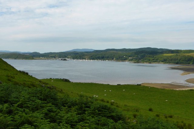
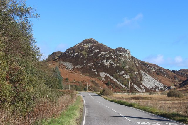
A' Bheinn, located in Argyllshire, is a prominent hill/mountain in the western region of Scotland. Standing at an elevation of approximately 937 meters (3,074 feet), it is a popular destination for hikers and outdoor enthusiasts seeking breathtaking views and challenging terrain.
Situated within the stunning landscape of the Scottish Highlands, A' Bheinn offers panoramic vistas of the surrounding area, including the nearby Loch Awe. Its distinctive shape and rugged terrain make it a distinctive landmark in the region.
The ascent to the summit of A' Bheinn can be quite demanding, with steep slopes and rocky sections that require careful navigation. However, the rewarding views and sense of accomplishment make it a worthwhile challenge for experienced walkers.
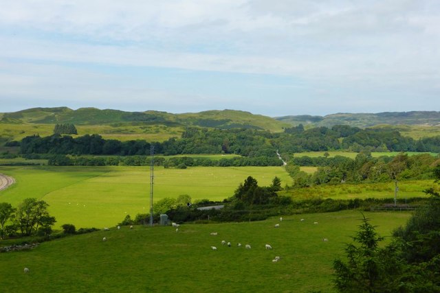
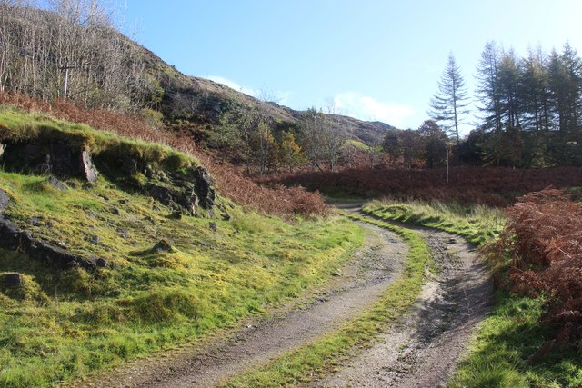
The hill/mountain is renowned for its diverse flora and fauna. The lower slopes are covered in lush vegetation, including heather, grasses, and wildflowers, while higher up, the landscape transforms into rocky outcrops and scree slopes. This varied terrain provides a habitat for a range of wildlife, including red deer, mountain hares, and various bird species.
A' Bheinn is a designated Site of Special Scientific Interest (SSSI), highlighting its importance in terms of conservation and preservation. It is also a part of the broader Argyll Forest Park, offering visitors the opportunity to explore the wider natural beauty of the area.
Overall, A' Bheinn is a stunning natural landmark in Argyllshire, attracting outdoor enthusiasts who seek a challenging yet rewarding climb, as well as those who simply wish to immerse themselves in the breathtaking scenery of the Scottish Highlands.
If you have any feedback on the listing, please let us know in the comments section below.
A' Bheinn Images
Images are sourced within 2km of 56.177847/-5.4752515 or Grid Reference NM8403. Thanks to Geograph Open Source API. All images are credited.
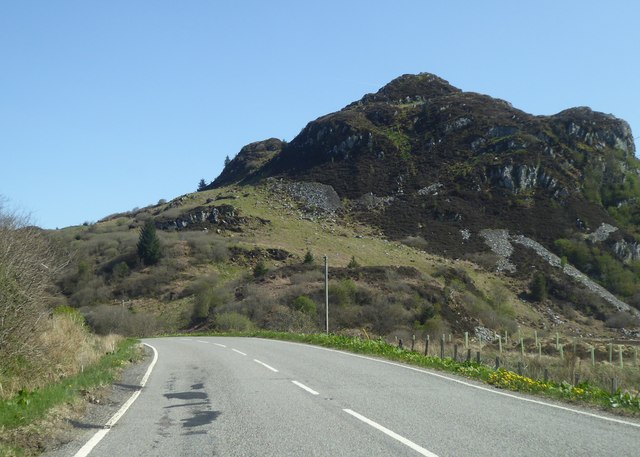
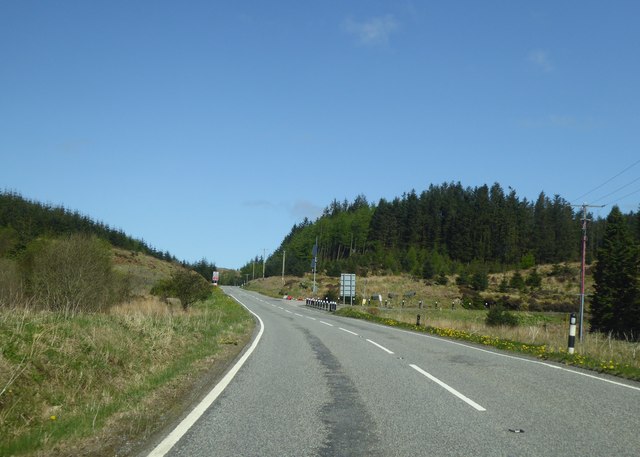
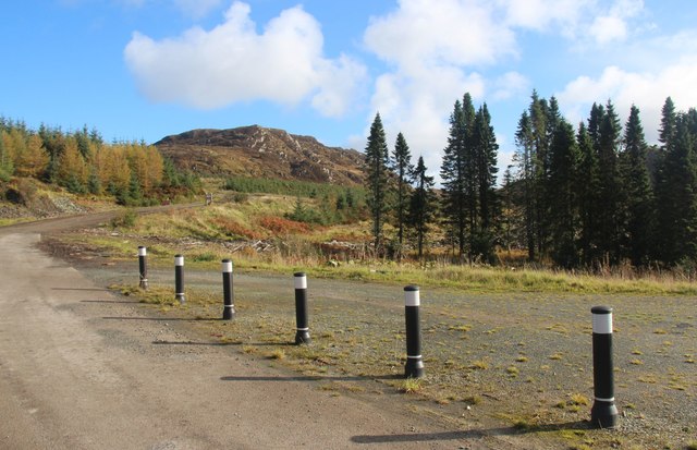
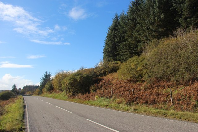
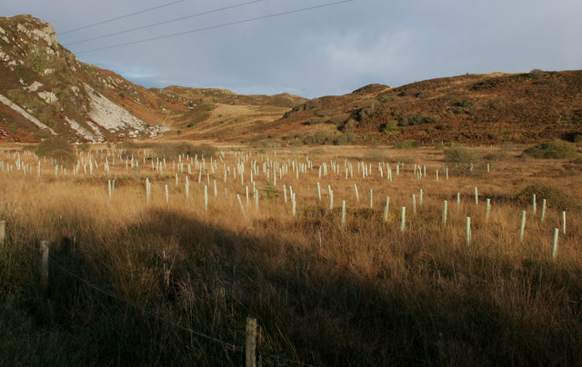
![Dun Chonallaich Seen from beside the A816. At the summit of the hill are the remains of a fort [<span class="nowrap"><a title="https://canmore.org.uk/site/22772/dun-chonallaich" rel="nofollow ugc noopener" href="https://canmore.org.uk/site/22772/dun-chonallaich">Link</a><img style="margin-left:2px;" alt="External link" title="External link - shift click to open in new window" src="https://s1.geograph.org.uk/img/external.png" width="10" height="10"/></span>]. Numerous trees have recently been planted beside the road here.](https://s0.geograph.org.uk/geophotos/05/95/84/5958480_a90cee9e.jpg)
A' Bheinn is located at Grid Ref: NM8403 (Lat: 56.177847, Lng: -5.4752515)
Unitary Authority: Argyll and Bute
Police Authority: Argyll and West Dunbartonshire
What 3 Words
///skin.pickle.increases. Near Lochgilphead, Argyll & Bute
Nearby Locations
Related Wikis
Ford, Argyll
Ford (Scottish Gaelic: Àth na Crà) is a small village at the southern end of Loch Awe in Argyll, Scotland. The village originated as a stopping point on...
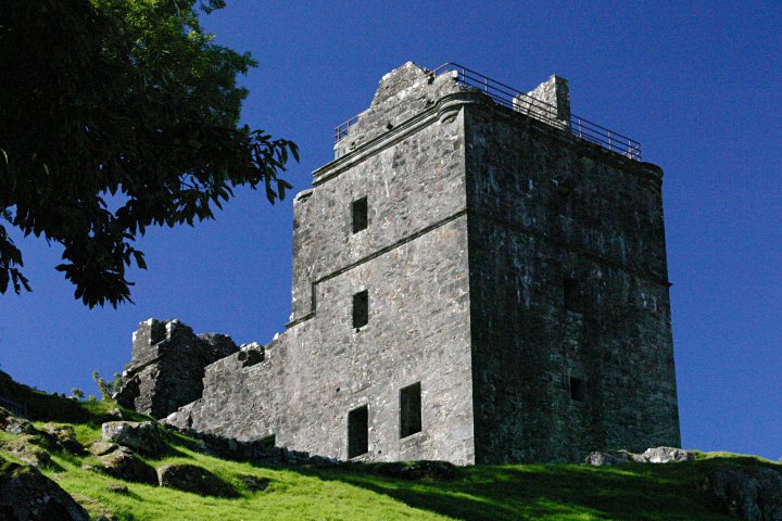
Carnasserie Castle
Carnasserie Castle (also spelled Carnassarie) is a ruined 16th-century tower house, noted for its unusual plan and renaissance detailing. It is located...

Dunan Aula
Dunan Aula, also known in Scottish Gaelic as Dùnan Amhlaidh, is the site of an exposed cist, located in the parish of Craignish, in Argyll and Bute, Scotland...

Ardfern
Ardfern (Scottish Gaelic: Aird Fheàrna, meaning "the head-land of alder-trees") is a village in Argyll and Bute, Scotland. It lies on the south coast of...

Eilean Mhic Chrion
Eilean Mhic Chrion is a tidal island sheltering Ardfern in Loch Craignish, Scotland. Eilean Mhic Chrion is one of 43 tidal islands that can be walked to...
Eilean Rìgh
Eilean Rìgh is an island in the Inner Hebrides of the west coast of Scotland. It lies in Loch Craignish, about 300 metres (1⁄8 mile) off the Argyll coastline...

Craignish
Craignish (Scottish Gaelic, Creiginis) is a peninsula in Argyll, on the west coast of Scotland. It lies around 25 miles (40 km) south of Oban, and 10 miles...

Kilmartin Stones
The Kilmartin Stones are a collection of 79 ancient graveslabs (one exception being a side-slab of a tomb chest) at Kilmartin parish church in the village...
Nearby Amenities
Located within 500m of 56.177847,-5.4752515Have you been to A' Bheinn?
Leave your review of A' Bheinn below (or comments, questions and feedback).