Cnoc Feadaige

Hill, Mountain in Ross-shire

Scotland

Cnoc Feadaige

Rubh' a' Choin
Rubh' a' Choin Credit: Mick Garratt

Cnoc Feadaige, also known as Feadaige Hill, is a prominent hill located in Ross-shire, in the Scottish Highlands. It forms part of the larger mountainous region of Scotland and is situated near the village of Aultbea.

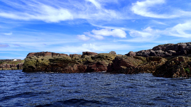
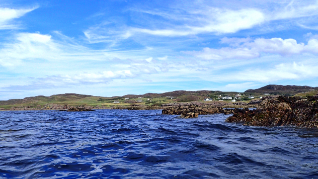
Rising to an elevation of approximately 386 meters (1,266 feet), Cnoc Feadaige offers breathtaking panoramic views of the surrounding countryside. The hill is covered in a mixture of heather, grassland, and scattered patches of woodland, providing a diverse and picturesque landscape.

The ascent to the summit of Cnoc Feadaige is relatively moderate, making it an ideal destination for hikers of all levels. The hill is accessible via a well-defined path that winds its way through the lower slopes and gradually climbs towards the top. Along the way, visitors can admire the abundance of flora and fauna that call this hill their home.

Once at the summit, hikers are rewarded with stunning vistas across Loch Ewe and the rugged peaks of the Torridon Mountains in the distance. On a clear day, it is even possible to catch a glimpse of the Isle of Skye.

Cnoc Feadaige is a popular destination for outdoor enthusiasts and nature lovers alike. Its tranquil surroundings and unspoiled beauty make it an ideal spot for picnics, photography, or simply enjoying the peacefulness of the Scottish Highlands. Whether you are seeking a challenging hike or a leisurely stroll, Cnoc Feadaige offers a memorable experience for all who visit.

If you have any feedback on the listing, please let us know in the comments section below.

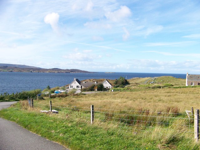
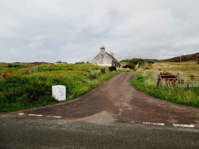
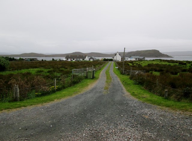
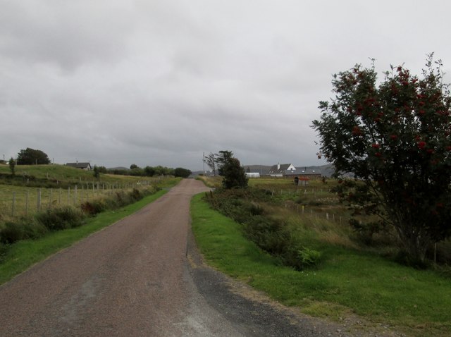
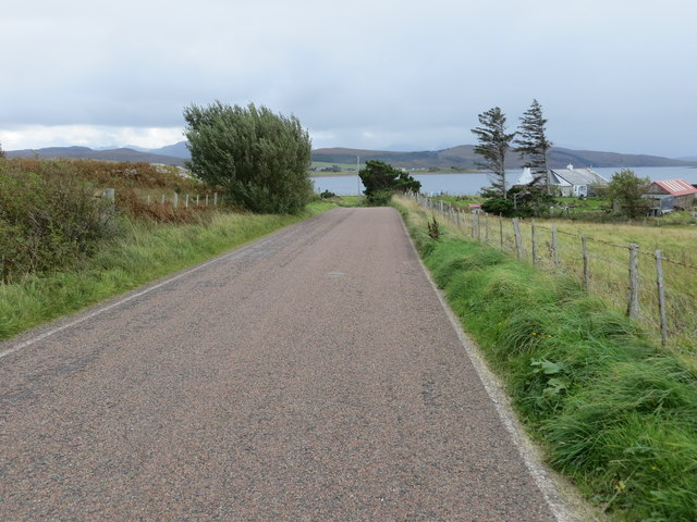
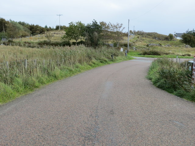
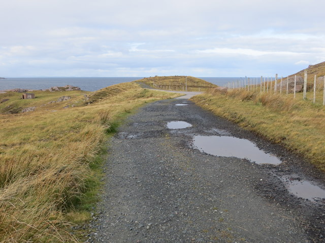
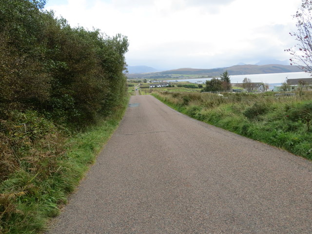
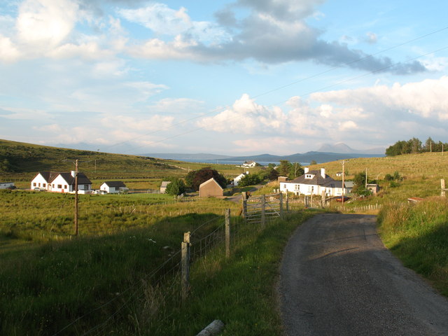
Cnoc Feadaige Images

Images are sourced within 2km of 57.864015/-5.6365818 or Grid Reference NG8491. Thanks to Geograph Open Source API. All images are credited.

Rubh' a' Choin
Rubh' a' Choin
Sgeirean Mòra
Sgeirean Mòra
Remains of Jetty, Mellon Charles I first visited Loch Ewe in 2013 and was amazed on discovering its role in World War II. An unassuming role modestly portrayed in a few information boards scattered around its coast. WW2 remains abound, anti aircraft gun emplacements, military buildings and foundations. Loch Ewe is a deep sea loch and during the war it was used to muster merchant shipping in relative safety before heading off with vital supplies to Murmansk in war torn Russia, in what has become known as the Arctic Convoys. The convoys, of up to 40 ships with Navy escorts, sailed close to the Arctic pack ice in an attempt to avoid German U Boats. Many were unsuccessful.

To protect the ships while in Loch Ewe an anti submarine net or boom was laid across the loch at its narrowest point, about 3km. Barrage balloons and anti aircraft guns provided protection against airborne attack. During the war military personnel outnumbered the local population by 3:1.

Mellon Charles was the Boom Defence Depot. The most visible remains is this concrete jetty forming an island that has been adopted by a colony of terns which took to divebombing us as we paddled past.

The seas around Mellon Charles are particularly rich in marine life and have been designated by the Scottish Wildlife Trust as part of their Snorkel Trail. Yet in spite this accolade the beach was exceptionally quiet. Golden sands but marred only by a thick tide mark of drying kelp. Only one other car arrived, an ex-serviceman looking up old haunts. He was stationed here for two weeks in 1972 as part of the Royal Marines Arctic warfare section.
Remains of Jetty, Mellon Charles
I first visited Loch Ewe in 2013 and was amazed on discovering its role in World War II. An unassuming role modestly portrayed in a few information boards scattered around its coast. WW2 remains abound, anti aircraft gun emplacements, military buildings and foundations. Loch Ewe is a deep sea loch and during the war it was used to muster merchant shipping in relative safety before heading off with vital supplies to Murmansk in war torn Russia, in what has become known as the Arctic Convoys. The convoys, of up to 40 ships with Navy escorts, sailed close to the Arctic pack ice in an attempt to avoid German U Boats. Many were unsuccessful. To protect the ships while in Loch Ewe an anti submarine net or boom was laid across the loch at its narrowest point, about 3km. Barrage balloons and anti aircraft guns provided protection against airborne attack. During the war military personnel outnumbered the local population by 3:1. Mellon Charles was the Boom Defence Depot. The most visible remains is this concrete jetty forming an island that has been adopted by a colony of terns which took to divebombing us as we paddled past. The seas around Mellon Charles are particularly rich in marine life and have been designated by the Scottish Wildlife Trust as part of their Snorkel Trail. Yet in spite this accolade the beach was exceptionally quiet. Golden sands but marred only by a thick tide mark of drying kelp. Only one other car arrived, an ex-serviceman looking up old haunts. He was stationed here for two weeks in 1972 as part of the Royal Marines Arctic warfare section.
Mellon Charles Beach
Ship mooring point An anchorage for ocean going ships.
Ship mooring point
An anchorage for ocean going ships.
Slipway at Ormiscaig Recycling the concrete anchor points used to hold the submarine netting across Loch Ewe.
Slipway at Ormiscaig
Recycling the concrete anchor points used to hold the submarine netting across Loch Ewe.
The Perfume Studio at Mellon Charles
Farm track north of the Perfume Studio
Remains of World War II defences at Leacan Donna
Rubha Mor peninsula above Mellon Charles The fine view to the south from a small sandstone outcrop above the scattered houses of Mellon Charles on Loch Ewe.
Rubha Mor peninsula above Mellon Charles
The fine view to the south from a small sandstone outcrop above the scattered houses of Mellon Charles on Loch Ewe.
Perfume  Studio  Mellon  Charles At the end of the minor road from Aultbea, but well worth the trip for an excellent lunch in the cafe
Perfume Studio Mellon Charles
At the end of the minor road from Aultbea, but well worth the trip for an excellent lunch in the cafe
Minor  road  to  crofts The fridge at the roadside says Hen, Duck and Quail eggs, I did not investigate
Minor road to crofts
The fridge at the roadside says Hen, Duck and Quail eggs, I did not investigate
Track  to  crofts  in  Ormiscaig The water beyond is Loch Ewe and the land beyond is the Isle of Ewe
Track to crofts in Ormiscaig
The water beyond is Loch Ewe and the land beyond is the Isle of Ewe
Minor  road  passing  through  Ormiscaig One of a number of crofting community's along this road
Minor road passing through Ormiscaig
One of a number of crofting community's along this road
Road near Ormiscaig Looking south-eastward.
Road near Ormiscaig
Looking south-eastward.
Road at Mellon Charles Looking south-eastward.
Road at Mellon Charles
Looking south-eastward.
Track at Ploc Leacan Donna Looking north-westward.
Track at Ploc Leacan Donna
Looking north-westward.
Road between Mellon Charles and Ormiscaig Looking south-eastward.
Road between Mellon Charles and Ormiscaig
Looking south-eastward.
Show me another place!

Cnoc Feadaige is located at Grid Ref: NG8491 (Lat: 57.864015, Lng: -5.6365818)

Unitary Authority: Highland

Police Authority: Highlands and Islands

What 3 Words

///freshen.fallen.hack. Near Gairloch, Highland

Related Wikis

Mellon Charles

Mellon Charles (Scottish Gaelic: Meallan Theàrlaich) is a remote crofting village on the north east shore of Loch Ewe near Gairloch in Wester Ross, in...

Ormiscaig

Ormiscaig (Scottish Gaelic: Ormasgaig) is a remote crofting village on the north east shore of Loch Ewe in Achnasheen, Ross-shire, Scottish Highlands and...
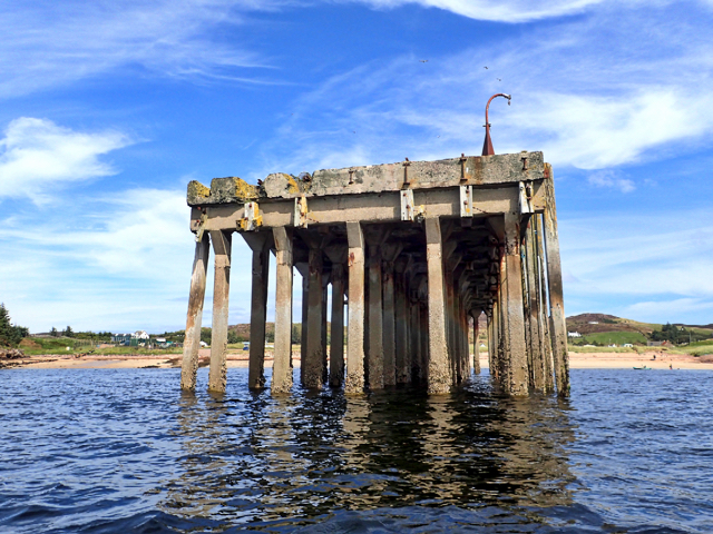
Loch Ewe

Loch Ewe (Scottish Gaelic: Loch Iùbh) is a sea loch in the region of Wester Ross in the Northwest Highlands of Scotland. The shores are inhabited by a...

Isle of Ewe

The Isle of Ewe (Scottish Gaelic: Eilean Iùbh) is a small Scottish island on the west coast of Ross and Cromarty. The island is inhabited by a single family...

Rubha Mòr

Rubha Mòr is a remote peninsula in west Scotland, in the western region of Ross and Cromarty. The peninsula stretches from Greenstone Point in the north...

Aultbea

Aultbea (Gaelic: An t-Allt Beithe) is a small coastal fishing village in the North-West Highlands of Scotland. It is situated on the southeast shore of...

Cove, Highland

Cove is a remote hamlet located on the northwestern shore of the sea loch Loch Ewe, and 8 mi (13 km) northwest of Poolewe in Ross-shire, Scottish Highlands...

Achgarve

Achgarve (Scottish Gaelic: An t-Achadh Garbh - the rough field) is a small coastal crofting and fishing hamlet, situated between Gruinard Bay and Loch...

Nearby Amenities

Located within 500m of 57.864015,-5.6365818
Source: PGS
Lat/Long: 57.8655867/-5.644185
Source: PGS
Lat/Long: 57.8651262/-5.6438377
Source: PGS
Lat/Long: 57.8650862/-5.6436657
Source: PGS
Lat/Long: 57.8649715/-5.642448
Source: PGS
Lat/Long: 57.8644774/-5.6421856
Source: PGS
Lat/Long: 57.8644789/-5.6420917
Source: PGS
Lat/Long: 57.8643414/-5.6420533
Source: PGS
Lat/Long: 57.8641787/-5.6421537
Source: PGS
Lat/Long: 57.8639772/-5.6413317
Source: PGS
Lat/Long: 57.863449/-5.6412381
Source: PGS
Lat/Long: 57.8635053/-5.6399552
Source: PGS
Lat/Long: 57.8634305/-5.6396097
Source: PGS
Lat/Long: 57.8633564/-5.6390799
Source: PGS
Lat/Long: 57.8632086/-5.6388426
Source: PGS
Lat/Long: 57.8630116/-5.6386765
Source: PGS
Lat/Long: 57.8628617/-5.6385992
Source: PGS
Lat/Long: 57.862632/-5.6386148
Source: PGS
Lat/Long: 57.8626056/-5.6387918
Source: PGS
Lat/Long: 57.861919/-5.6394113
Source: PGS
Lat/Long: 57.8616257/-5.6405363
Source: PGS
Lat/Long: 57.8615737/-5.6406776
Source: PGS
Lat/Long: 57.861352/-5.6410775
Source: PGS
Lat/Long: 57.860908/-5.6420463
Power: pole
Lat/Long: 57.8657787/-5.6380765
Power: pole
Lat/Long: 57.8654144/-5.6382888
Power: pole
Lat/Long: 57.8650479/-5.6385092
Power: pole
Lat/Long: 57.865775/-5.6380917
Power: pole
Lat/Long: 57.8654906/-5.6372484
Power: pole
Lat/Long: 57.8652707/-5.636649
Power: pole
Lat/Long: 57.8650112/-5.6359765
Power: pole
Lat/Long: 57.8647181/-5.6352475
Power: pole
Lat/Long: 57.8615104/-5.6307994
Power: pole
Lat/Long: 57.8619649/-5.6318219
Power: pole
Lat/Long: 57.8622911/-5.6326087
Power: pole
Lat/Long: 57.8627536/-5.6335802
Power: pole
Lat/Long: 57.8630307/-5.6343753
Power: pole
Lat/Long: 57.8599946/-5.6332895
Power: pole
Lat/Long: 57.8598213/-5.6357891
Power: pole
Lat/Long: 57.8597071/-5.6371226
Power: pole
Lat/Long: 57.859799/-5.6380936
Power: pole
Lat/Long: 57.859705/-5.6389063
Power: pole
Lat/Long: 57.864537/-5.6359029
Power: pole
Lat/Long: 57.8643902/-5.6365324
Power: pole
Lat/Long: 57.8650856/-5.6339085
Power: pole
Lat/Long: 57.861779/-5.6296567
The data included in this document is from www.openstreetmap.org. The data is made available under ODbL.

Have you been to Cnoc Feadaige?

Leave your review of Cnoc Feadaige below (or comments, questions and feedback).