Narachan Hill

Hill, Mountain in Argyllshire

Scotland

Narachan Hill

Bridge over Drochaid Burn on a newly formed track
Bridge over Drochaid Burn on a newly formed track Credit: John Ferguson

Narachan Hill is a prominent natural landmark located in the stunning region of Argyllshire, Scotland. Situated within the Loch Lomond and The Trossachs National Park, this hill is a part of the Arrochar Alps range, which offers breathtaking views and a haven for outdoor enthusiasts.

Standing at an elevation of approximately 817 meters (2,680 feet), Narachan Hill boasts a distinctive conical shape, covered in lush green vegetation that adds to its picturesque appeal. The hill is made up of ancient volcanic rock, providing a unique geological landscape that attracts geologists and nature enthusiasts alike.

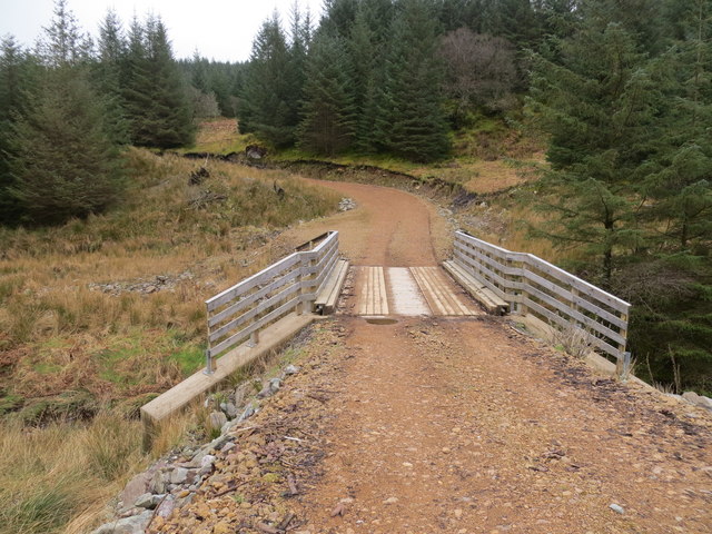
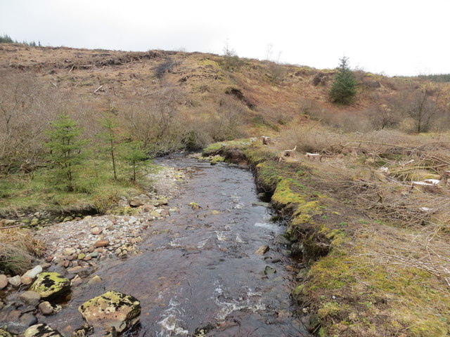
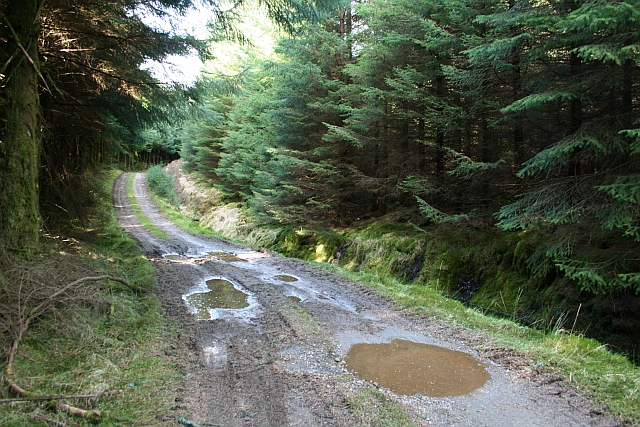
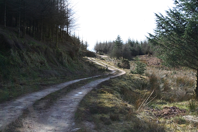
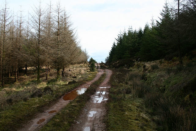
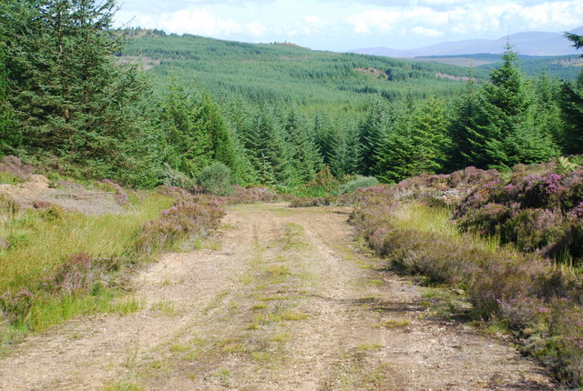
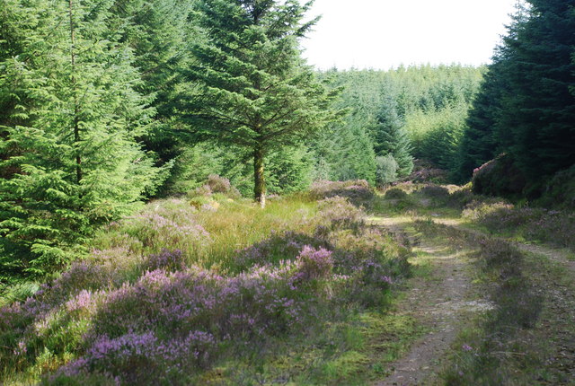
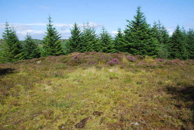
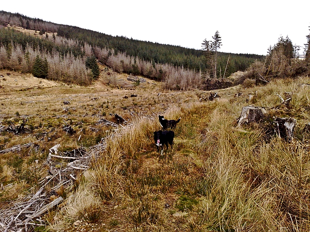
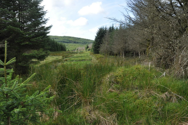
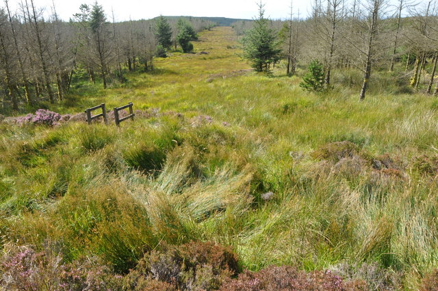
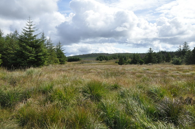
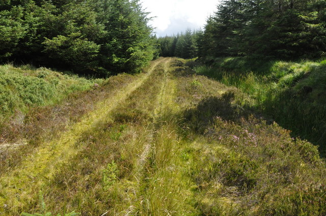
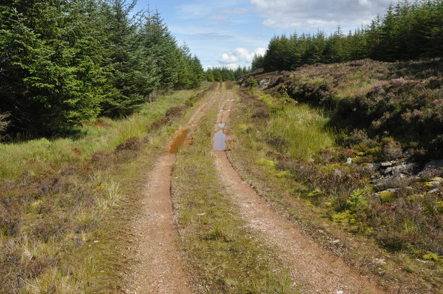
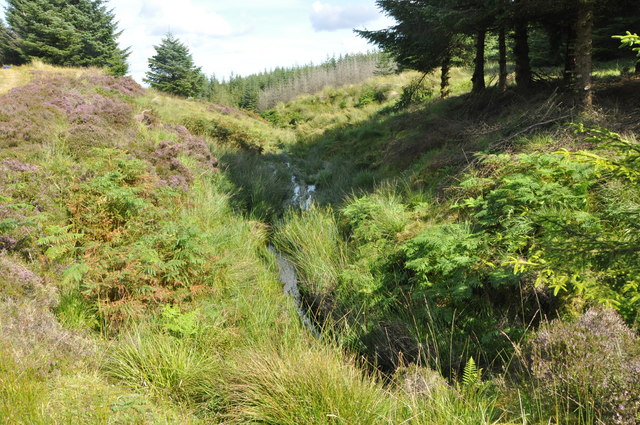
The ascent to the summit of Narachan Hill is a challenging yet rewarding experience, with a variety of paths and trails to suit different skill levels. The most popular route starts from Arrochar village, taking hikers through a mix of woodlands, open moorland, and rocky terrain. Along the way, visitors can revel in the beauty of the surrounding nature, including vibrant wildflowers, cascading waterfalls, and diverse wildlife.

Reaching the peak of Narachan Hill rewards climbers with breathtaking panoramic views of Loch Long and the surrounding mountains, including the iconic Cobbler and Ben Lomond. On clear days, it is possible to see as far as the Isle of Arran and the Firth of Clyde, making it a popular spot for photographers and nature enthusiasts seeking a true Scottish landscape experience.

Overall, Narachan Hill in Argyllshire offers a memorable and challenging outdoor adventure, providing a glimpse into Scotland's natural beauty and captivating scenery.

If you have any feedback on the listing, please let us know in the comments section below.

Narachan Hill Images

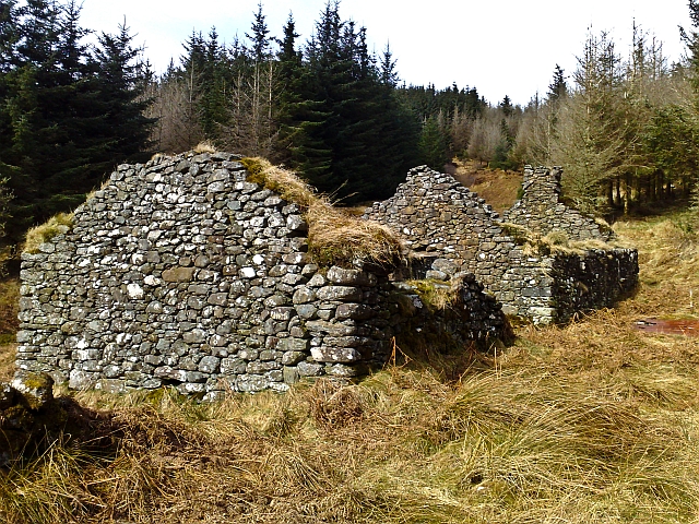
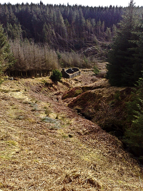
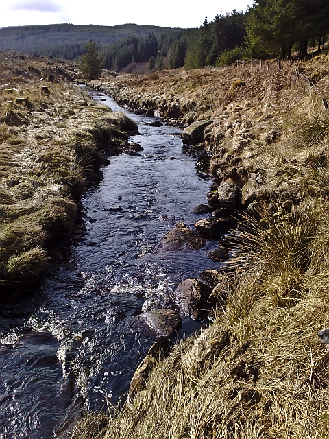
Images are sourced within 2km of 55.665639/-5.5723062 or Grid Reference NR7547. Thanks to Geograph Open Source API. All images are credited.

Bridge over Drochaid Burn on a newly formed track
Allt Chaltuinn
Allt Chaltuinn
Kintyre Forestry Track Some of these puddles still had ice on their surfaces.
Kintyre Forestry Track
Some of these puddles still had ice on their surfaces.
Kintyre Forestry Road (2) The North West side of Cnoc a' Mhinisteir.
Kintyre Forestry Road (2)
The North West side of Cnoc a' Mhinisteir.
Kintyre Forestry Road (3) At the top of the Narachan Glen.
Kintyre Forestry Road (3)
At the top of the Narachan Glen.
Forest track, SE of Loch Ulagadale, Kintyre Track shows no signs of frequent heavy use, but not overgrown as yet. Hills in right background are in the North of Arran.
Forest track, SE of Loch Ulagadale, Kintyre
Track shows no signs of frequent heavy use, but not overgrown as yet. Hills in right background are in the North of Arran.
Forest track, West Kintyre More evidence of deer tracks than of vehicles in muddy sections.
Forest track, West Kintyre
More evidence of deer tracks than of vehicles in muddy sections.
Forest clearing, Lorgie Hill, Kintyre Pretty much at the end of a track, no real signs of being in current use.
Forest clearing, Lorgie Hill, Kintyre
Pretty much at the end of a track, no real signs of being in current use.
Clearfell around Narachan Walking towards the ruined farmstead of Narachan.
Clearfell around Narachan
Walking towards the ruined farmstead of Narachan.
Narachan A long-abandoned farmstead hidden away in the forestry.
Narachan
A long-abandoned farmstead hidden away in the forestry.
Spout Gill Looking down on the ruin of Narachan.
Spout Gill
Looking down on the ruin of Narachan.
Carra Water at Narachan A short lived river that pours into Carradale Bay at Carradale just a few miles away.
Carra Water at Narachan
A short lived river that pours into Carradale Bay at Carradale just a few miles away.
Forest fire-break, near Allt Chaltuinn, Kintyre Looking Southwest, following the line of a stream that heads down towards the Allt Chaltuinn burn. A fair number of dead trees to the right.
Forest fire-break, near Allt Chaltuinn, Kintyre
Looking Southwest, following the line of a stream that heads down towards the Allt Chaltuinn burn. A fair number of dead trees to the right.
Forest fire-break, Kintyre A large number of dead looking trees on either side of the fire-break.
Forest fire-break, Kintyre
A large number of dead looking trees on either side of the fire-break.
Lochan in Forest, Kintyre Lochan that contributes eventually to the Narachan Burn <a href="https://www.geograph.org.uk/gridref/NR7747">NR7747</a>. It appeared to be covered in water lilies.
Lochan in Forest, Kintyre
Lochan that contributes eventually to the Narachan Burn NR7747. It appeared to be covered in water lilies.
Forest track, Kintyre Overgrown forest track, still with signs of occasional vehicle use.
Forest track, Kintyre
Overgrown forest track, still with signs of occasional vehicle use.
Forest road, Kintyre Trees close to the road on the left, further back on the right.
Forest road, Kintyre
Trees close to the road on the left, further back on the right.
Forest stream, Kintyre The stream heads away to the NE to join the Narachan Burn after about 1.5km. This reaches the sea on the East coast of Kintyre at Waterfoot<a href="https://www.geograph.org.uk/gridref/NR8037">NR8037</a>. Approx 0.5km to the SW a stream starts that reaches the West coast of Kintyre at Tayinloan <a href="https://www.geograph.org.uk/gridref/NR6945">NR6945</a>, so NR7547 is on the watershed between the West and East coast of Kintyre.
Forest stream, Kintyre
The stream heads away to the NE to join the Narachan Burn after about 1.5km. This reaches the sea on the East coast of Kintyre at WaterfootNR8037. Approx 0.5km to the SW a stream starts that reaches the West coast of Kintyre at Tayinloan NR6945, so NR7547 is on the watershed between the West and East coast of Kintyre.
Show me another place!

Narachan Hill is located at Grid Ref: NR7547 (Lat: 55.665639, Lng: -5.5723062)

Unitary Authority: Argyll and Bute

Police Authority: Argyll and West Dunbartonshire

What 3 Words

///heave.different.march. Near Lochranza, North Ayrshire

Nearby Locations

Narachan Hill

Related Wikis

Largie Castle, Rhunahaorine

Largie Castle is a ruined castle at Rhunahaorine, Argyll and Bute, Scotland. == History == The castle was built by Clan MacDonald of Largie.After the battle...

Battle of Rhunahaorine Moss

The Battle of Rhunahaorine Moss was a battle between Covenanters led by General David Leslie and Royalist forces led by Alasdair Mac Colla Chiotaich (Sir...

Largie Castle, Tayinloan

Largie Castle is a former mansion house at Tayinloan, Kintyre, Argyll and Bute, Scotland. It was designed by architect Charles Wilson for The Hon. Augustus...
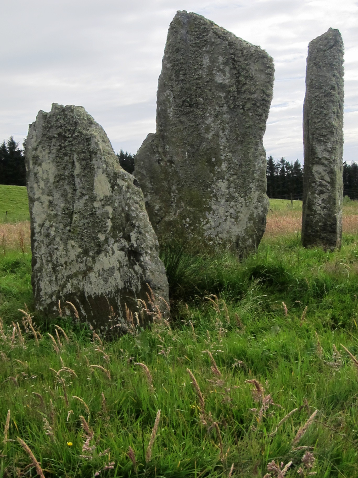
Ballochroy

Ballochroy is a megalithic site in Kintyre on the Argyll peninsula in Scotland. It consists of three vertical stones, side by side, aligned with various...

Nearby Amenities

Located within 500m of 55.665639,-5.5723062
Narachan Hill
Ele: 284
Ele Ft: 935
Natural: peak
Source: OS7
Lat/Long: 55.6662127/-5.5737765
The data included in this document is from www.openstreetmap.org. The data is made available under ODbL.

Have you been to Narachan Hill?

Leave your review of Narachan Hill below (or comments, questions and feedback).