Cruach Mhic Gougain
Hill, Mountain in Argyllshire
Scotland
Cruach Mhic Gougain
Cruach Mhic Gougain is a prominent hill located in Argyllshire, Scotland. It is part of the Scottish Highlands, an area known for its stunning natural beauty and rugged landscapes. The hill stands at a height of approximately 732 meters (2,402 feet), making it a notable peak in the region.
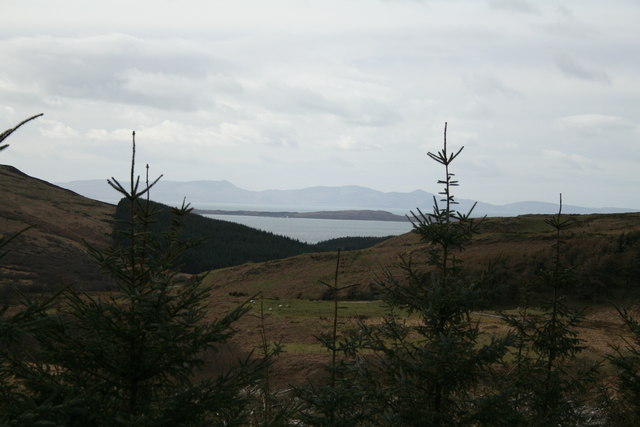
Situated in the heart of Argyllshire, Cruach Mhic Gougain offers breathtaking panoramic views of the surrounding countryside. On clear days, visitors can see the vast expanse of rolling hills, scattered lochs, and distant mountains that make up the picturesque Scottish landscape.
The hill is a popular destination for hikers and outdoor enthusiasts, with several well-marked trails leading to its summit. The ascent can be challenging, particularly in adverse weather conditions, but the effort is rewarded by the breathtaking vistas that await at the top. The route is often lined with lush vegetation, including heather and moss, adding to the natural beauty of the area.
Cruach Mhic Gougain is also home to a diverse range of flora and fauna. The hillside is covered in a patchwork of heather, grasses, and wildflowers, providing a habitat for various bird species and small mammals. It is not uncommon to spot red deer, mountain hares, or golden eagles in the vicinity.
Overall, Cruach Mhic Gougain is a captivating natural landmark in Argyllshire, offering visitors an opportunity to immerse themselves in the stunning Scottish countryside and appreciate the region's unique biodiversity.
If you have any feedback on the listing, please let us know in the comments section below.
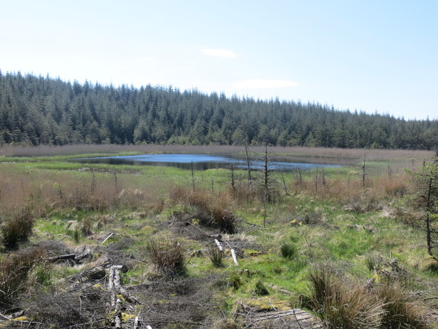
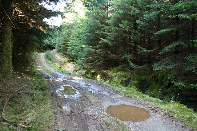
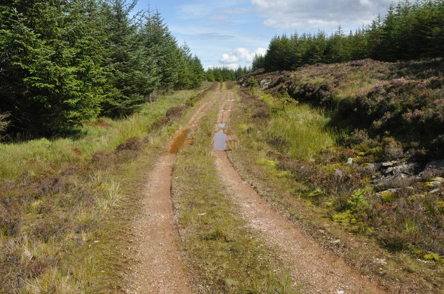
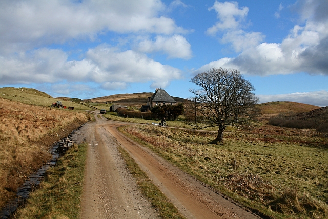
Cruach Mhic Gougain Images
Images are sourced within 2km of 55.693574/-5.5751588 or Grid Reference NR7550. Thanks to Geograph Open Source API. All images are credited.


Cruach Mhic Gougain is located at Grid Ref: NR7550 (Lat: 55.693574, Lng: -5.5751588)
Unitary Authority: Argyll and Bute
Police Authority: Argyll and West Dunbartonshire
What 3 Words
///tribes.wiggling.sped. Near Lochranza, North Ayrshire
Nearby Locations
Related Wikis
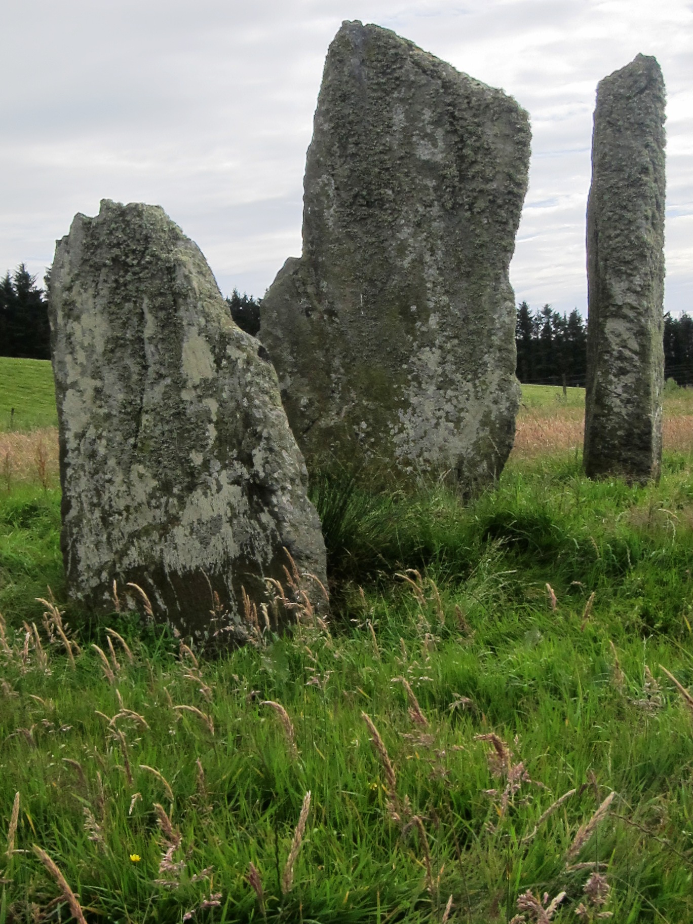
Ballochroy
Ballochroy is a megalithic site in Kintyre on the Argyll peninsula in Scotland. It consists of three vertical stones, side by side, aligned with various...

Battle of Rhunahaorine Moss
The Battle of Rhunahaorine Moss was a battle between Covenanters led by General David Leslie and Royalist forces led by Alasdair Mac Colla Chiotaich (Sir...
Largie Castle, Rhunahaorine
Largie Castle is a ruined castle at Rhunahaorine, Argyll and Bute, Scotland. == History == The castle was built by Clan MacDonald of Largie.After the battle...

Clachan, Kintyre
Clachan is a small village in North Kintyre, Argyll & Bute, Scotland. Clachan is the site of an old church, which was the principal church for the North...
Nearby Amenities
Located within 500m of 55.693574,-5.5751588Have you been to Cruach Mhic Gougain?
Leave your review of Cruach Mhic Gougain below (or comments, questions and feedback).