Caoikain
Hill, Mountain in Argyllshire
Scotland
Caoikain

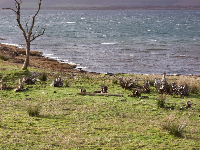
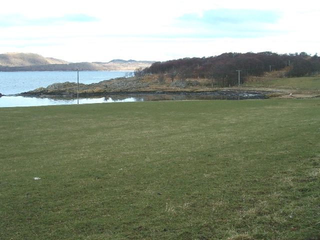
Caoikain is a prominent hill located in the county of Argyllshire, Scotland. Situated in the western part of the country, it is part of the picturesque landscape that characterizes this region. With an elevation of approximately 600 meters (1969 feet), Caoikain offers stunning panoramic views of the surrounding countryside.
The hill is known for its rugged beauty, with its slopes covered in heather and grasses, creating a vibrant green landscape during the warmer months. It is also home to a variety of wildlife, including red deer, mountain hares, and various bird species, making it a popular spot for nature enthusiasts and wildlife photographers.
Caoikain is a popular destination for hikers and hillwalkers, offering a range of trails and paths to explore. The ascent to the summit can be challenging, with steep inclines and rocky terrain, but the effort is rewarded with breathtaking views over the nearby lochs and glens.
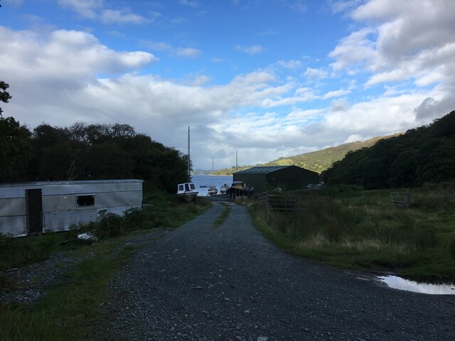
The hill is easily accessible from nearby towns and villages, with several parking areas available for visitors. It is recommended to check weather conditions and be adequately prepared before embarking on a hike to Caoikain, as the weather in this region can be unpredictable and changeable.
Overall, Caoikain in Argyllshire is a natural gem, offering both stunning natural beauty and a challenging outdoor experience for those seeking to explore the Scottish Highlands.
If you have any feedback on the listing, please let us know in the comments section below.
Caoikain Images
Images are sourced within 2km of 55.982662/-5.6014985 or Grid Reference NR7582. Thanks to Geograph Open Source API. All images are credited.


Caoikain is located at Grid Ref: NR7582 (Lat: 55.982662, Lng: -5.6014985)
Unitary Authority: Argyll and Bute
Police Authority: Argyll and West Dunbartonshire
What 3 Words
///unfounded.formed.named. Near Ardrishaig, Argyll & Bute
Nearby Locations
Related Wikis
Eilean Loain
Eilean Loain is a small island in Loch Sween and one of the Inner Hebrides of Scotland. It is about 2 kilometres (1 mi) west of the settlement of Kilmichael...

Ashfield, Argyll and Bute
Ashfield is a village in the civil parish of North Knapdale, in Knapdale, in the council area of Argyll and Bute, Scotland. It has a sheep farm and cottage...

Taynish National Nature Reserve
Taynish National Nature Reserve (Scottish Gaelic: Tèarmann Nàdair Nàiseanta Taighnis) is situated southwest of the village of Tayvallich in the council...

Loch Sween
Loch Sween (Scottish Gaelic: Loch Suain or Loch Suibhne) is a sea loch located near Lochgilphead, Argyll and Bute, Scotland. Castle Sween is located on...
Tayvallich
Tayvallich (pronounced TAY-vee-AL-ich; Scottish Gaelic: Taigh a' Bhealaich [t̪ʰɤj ə ˈvjal̪ˠɪç]) is a small village in the Knapdale area of Argyll and Bute...

Achnamara
Achnamara (Scottish Gaelic: Achadh na Mara) is a village in the Scottish council area of Argyll and Bute. Its location is approximately 56°1' N 5°34' W...
Achahoish
Achahoish (Scottish Gaelic: Achadh a’ Chòis) is a village on the west coast of Knapdale in the Scottish council area of Argyll and Bute. In 1882, Wilson...

Knapdale
Knapdale (Scottish Gaelic: Cnapadal, IPA: [ˈkɾaʰpət̪əl̪ˠ]) forms a rural district of Argyll and Bute in the Scottish Highlands, adjoining Kintyre to the...
Have you been to Caoikain?
Leave your review of Caoikain below (or comments, questions and feedback).