Cnoc Olaig

Hill, Mountain in Inverness-shire

Scotland

Cnoc Olaig

Low tide at Isleornsay
Low tide at Isleornsay Credit: Hugh Venables

Cnoc Olaig is a prominent hill located in Inverness-shire, Scotland. Standing at an elevation of approximately 441 meters (1,447 feet), it is a popular destination for hikers and outdoor enthusiasts seeking breathtaking views and a moderate level of challenge.

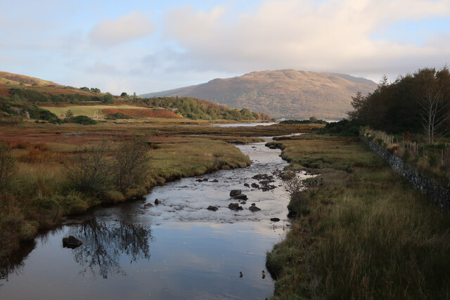
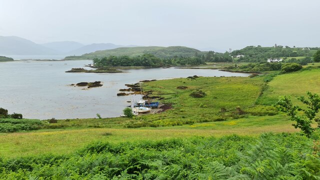
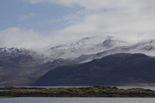
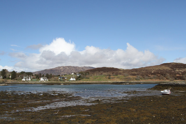
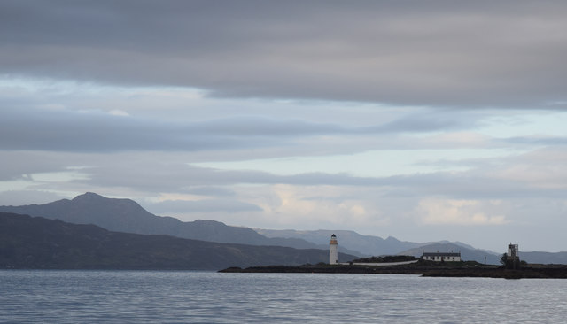
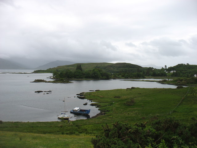
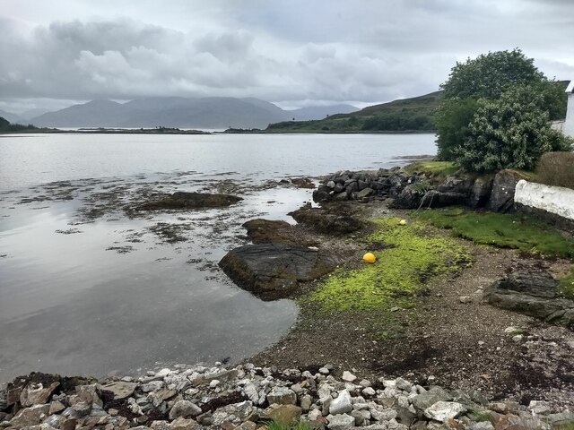
Situated near the village of Drumnadrochit, Cnoc Olaig offers panoramic vistas of the surrounding countryside, including the picturesque Loch Ness and the Great Glen. The hill is part of the wider Highlands region, known for its stunning natural beauty and rich history.

The ascent up Cnoc Olaig involves a well-defined path, making it accessible to both experienced hikers and those new to hill-walking. The trail is generally clear and marked, although appropriate footwear and clothing are advisable due to the unpredictable Scottish weather conditions.

At the summit, visitors are rewarded with stunning vistas that stretch for miles, showcasing the rugged Scottish landscape in all its glory. On a clear day, it is possible to see the distant peaks of the Cairngorms National Park to the east and Ben Nevis, the highest mountain in the British Isles, to the southwest.

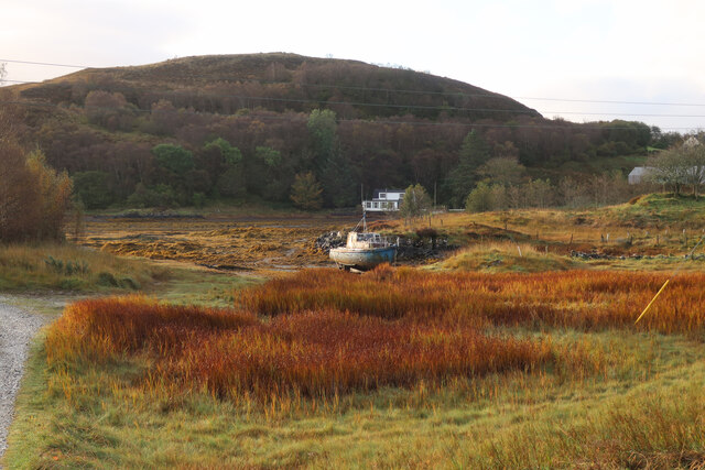
The hill is surrounded by lush greenery, with heather, grasses, and wildflowers dotting the landscape. Wildlife such as red deer, golden eagles, and smaller birds can often be spotted in the area, adding to the natural charm and tranquility of the surroundings.

Overall, Cnoc Olaig is a captivating destination for those seeking to immerse themselves in the beauty of the Scottish Highlands, offering a memorable experience for nature lovers and adventurers alike.

If you have any feedback on the listing, please let us know in the comments section below.
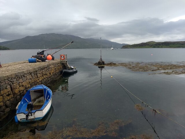
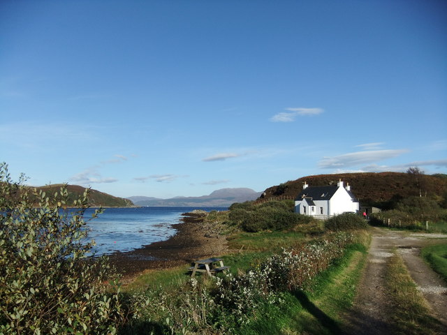
Cnoc Olaig Images

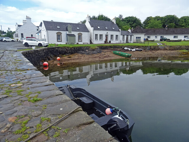
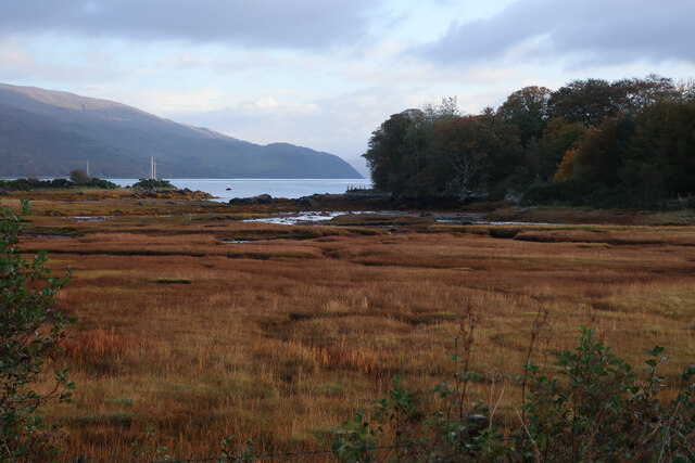
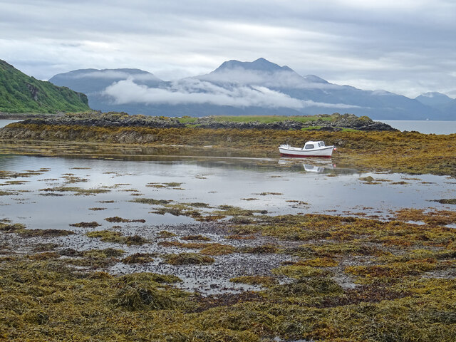
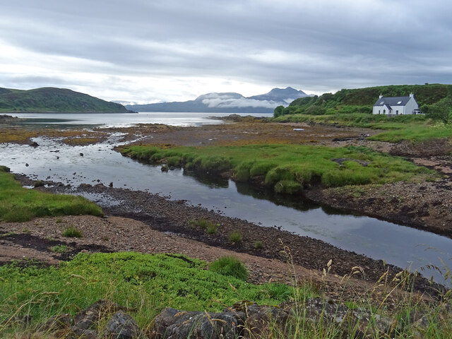
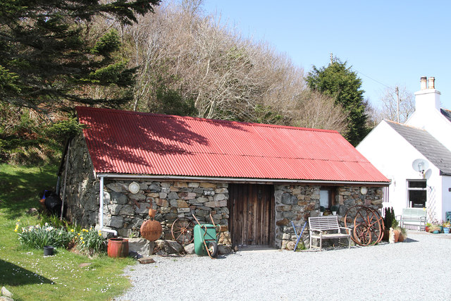
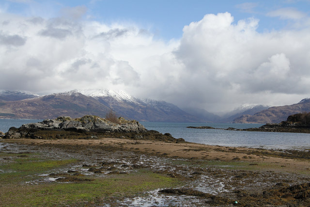
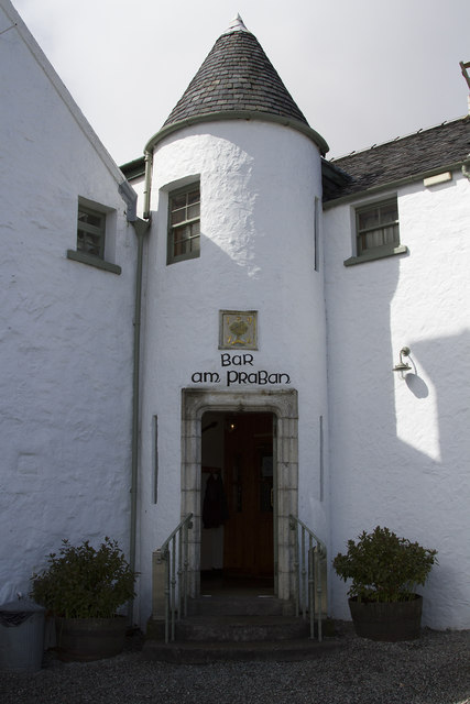
Images are sourced within 2km of 57.142985/-5.8040454 or Grid Reference NG6912. Thanks to Geograph Open Source API. All images are credited.

Low tide at Isleornsay
Allt Duisdale
Allt Duisdale
Across Harbour to Isle of Ornsay
A851 near Duisdalemore
Isleornsay Reflections A still morning at Isleornsay on the Sleat peninsula of Skye. Looking to the hotel and houses reflected in the water beside the little pier.
Isleornsay Reflections
A still morning at Isleornsay on the Sleat peninsula of Skye. Looking to the hotel and houses reflected in the water beside the little pier.
Saltmarsh at Duisdalebeg
Camus Croise Mid tide looking across Camus Croise to the Glenelg peninsula and the peak of Beinn Sgritheall on a misty atmospheric morning.
Camus Croise
Mid tide looking across Camus Croise to the Glenelg peninsula and the peak of Beinn Sgritheall on a misty atmospheric morning.
House on the Shore, Camus Croise House at Camus Croise on the Sleat peninsula of Skye looking across the Sound of Sleat to Glenelg with the peak of Beinn Sgritheall just showing.
House on the Shore, Camus Croise
House at Camus Croise on the Sleat peninsula of Skye looking across the Sound of Sleat to Glenelg with the peak of Beinn Sgritheall just showing.
Duisdalebeg shed The shed is next to an all white house right on the bay shore.
Duisdalebeg shed
The shed is next to an all white house right on the bay shore.
Duisdalebeg view This tiny village has stunning mountain views, which were enhanced by the fresh snow.
Duisdalebeg view
This tiny village has stunning mountain views, which were enhanced by the fresh snow.
The Bar entrance to the hotel in Isleornsay There is wonderful bar beyond this door, but the best thing about this tiny village is the view across the loch.
The Bar entrance to the hotel in Isleornsay
There is wonderful bar beyond this door, but the best thing about this tiny village is the view across the loch.
View from the pier at Isleornsay The mist shrouded hills in the background of the picture are on the mainland. The spit of foreground land is actually an island that is connected at low tide to the Isle of Skye.
View from the pier at Isleornsay
The mist shrouded hills in the background of the picture are on the mainland. The spit of foreground land is actually an island that is connected at low tide to the Isle of Skye.
Looking across the bay The widely spaced houses of his hamlet aid the view of this bay.
Looking across the bay
The widely spaced houses of his hamlet aid the view of this bay.
Isle Ornsay light, Skye
Isleornsay harbour
Isleornsay harbour
Looking towards the channel between Isle Ornsay and Skye
The pier at Isleornsay
By Camus Croise
By Camus Croise
Show me another place!

Cnoc Olaig is located at Grid Ref: NG6912 (Lat: 57.142985, Lng: -5.8040454)

Unitary Authority: Highland

Police Authority: Highlands and Islands

What 3 Words

///colder.shame.fame. Near Armadale, Highland

Related Wikis

Té Bheag

Té Bheag (Scottish Gaelic pronunciation: [ˈtʲʰeː ˈvek]) is a blended Scotch whisky made by Pràban na Linne Ltd in Scotland. It is one of Sir Iain Noble...

Camuscross

Camuscross (Scottish Gaelic: Camus Croise) is a small crofting township on the Isle of Skye in Scotland. Camuscross is situated on Camus Croise bay, on...

Isleornsay

Isleornsay (Scottish Gaelic: Eilean Iarmain) is a village lying off the main Armadale to Sleat road (the A851) on the Isle of Skye in Scotland. It overlooks...

A851 road

The A851 road is one of the principal roads of the Isle of Skye in the Inner Hebrides off the west coast of mainland Scotland. It connects the ferry port...

Nearby Amenities

Located within 500m of 57.142985,-5.8040454
Bus Stop
Road End
Local Ref: AT
Naptan AtcoCode: 6700712848
Naptan Bearing: SW
Naptan CommonName: Road End
Naptan Indicator: at
Naptan Landmark: Road End
Naptan NaptanCode: 45326945
Naptan Street: A851
Naptan Verified: no
Source: naptan_import
Lat/Long: 57.1466797/-5.8070482
Bus Stop
Road End
Naptan AtcoCode: 6700712848A
Naptan Bearing: NE
Naptan CommonName: Road End
Naptan Indicator: opp
Naptan Landmark: Road End
Naptan NaptanCode: 45326939
Naptan Street: A851
Naptan Verified: no
Source: naptan_import
Lat/Long: 57.1467453/-5.8071624
Post Office
Isle Ornsay Post Office
Addr Postcode: IV43 8QU
Brand: Post Office
Brand Wikidata: Q1783168
Ref Pol Id: 141404
Source: survey
Lat/Long: 57.1438917/-5.8102743
Post Box
Ref: IV43 91
Source: survey
Lat/Long: 57.1438733/-5.8105658
Eilean Iarmain
Alt Name: Isleornsay
Alt Name Gd: Eilean Diarmaid
Name En: Isleornsay
Name Gd: Eilean Iarmain
Note: Eilean Iarmain is the normal name for this place
Place: hamlet
Source Alt Name Gd: OS_OpenData_StreetView
Wikidata: Q1018725
Wikipedia: en:Isleornsay
Lat/Long: 57.1449354/-5.7998908
Source: survey
Lat/Long: 57.1455914/-5.7989595
Flòraidh Skye
Shop: clothes
Source: survey
Lat/Long: 57.1455358/-5.7992149
Telephone
Booth: KX100
Covered: booth
Source: survey
Lat/Long: 57.1443401/-5.8008105
Post Box
Post Box Design: type_m
Post Box Type: lamp
Ref: IV43 128
Source: survey
Lat/Long: 57.1436956/-5.8018183
Seamark Light Category: vertical
Seamark Light Character: F
Seamark Light Colour: red
Seamark Light Height: 3
Seamark Light Multiple: 2
Seamark Light Range: 2
Seamark Light Reference: A 3946
Seamark Type: light_minor
Source: US NGA Pub. 114. 2011-05-26.
Lat/Long: 57.1458833/-5.7985
Coille Challtainn
Tourism: guest_house
Lat/Long: 57.1439276/-5.8099955
Charging Station
Lat/Long: 57.1454717/-5.7992022
Duisdalebeg
Alt Name Gd: Dùisdeil Bheag
Name En: Duisdalebeg
Name Gd: Duisdeil Beag
Place: hamlet
Lat/Long: 57.1449271/-5.8103178
Power: pole
Lat/Long: 57.1386162/-5.8056451
Power: pole
Lat/Long: 57.1391612/-5.8044816
Power: pole
Lat/Long: 57.1395042/-5.8036543
Power: pole
Lat/Long: 57.1405904/-5.8069777
Power: pole
Lat/Long: 57.140823/-5.8075997
Power: pole
Lat/Long: 57.1407215/-5.807803
Power: pole
Lat/Long: 57.1412927/-5.8070985
Power: pole
Lat/Long: 57.14228/-5.8067764
Power: pole
Lat/Long: 57.1417667/-5.8069455
Power: pole
Lat/Long: 57.1453586/-5.800347
Power: pole
Lat/Long: 57.1450441/-5.801118
Power: pole
Lat/Long: 57.1445996/-5.8022251
Power: pole
Lat/Long: 57.1443801/-5.8032195
Power: pole
Lat/Long: 57.1443081/-5.8040629
Power: pole
Lat/Long: 57.1444489/-5.805001
Power: pole
Lat/Long: 57.1446816/-5.8065369
Power: pole
Lat/Long: 57.1449436/-5.8083184
Power: pole
Lat/Long: 57.1451861/-5.8099086
Tòrr an Daimh
Ele: 60
Natural: peak
Lat/Long: 57.1406529/-5.7989184
Cnoc Òlaig
Place: locality
Lat/Long: 57.1430642/-5.8039778
Cnoc na Buaile Càrnaich
Natural: hill
Place: locality
Lat/Long: 57.1408056/-5.8091062
Man Made: mast
Tower Type: communication
Lat/Long: 57.1463805/-5.8081812
Man Made: mast
Tower Type: communication
Lat/Long: 57.1463764/-5.808251
The data included in this document is from www.openstreetmap.org. The data is made available under ODbL.

Have you been to Cnoc Olaig?

Leave your review of Cnoc Olaig below (or comments, questions and feedback).