Cnoc nam Ban

Hill, Mountain in Argyllshire

Scotland

Cnoc nam Ban

Loch Spelve South east of the island of Mull
Loch Spelve Credit: Eirian Evans

Cnoc nam Ban is a prominent hill located in Argyllshire, Scotland. Situated in the western part of the country, it forms part of the picturesque landscape of the region. Standing at an elevation of approximately 600 meters (1,969 feet), it is considered a mountain by many standards.

The hill is characterized by its rugged and steep slopes, covered in heather and sparse vegetation. Its position offers breathtaking panoramic views of the surrounding countryside, including the nearby Loch Long and Loch Goil, as well as the Argyll Forest Park. On clear days, it is even possible to catch glimpses of the neighboring islands of Bute and Arran in the distance.

Cnoc nam Ban is a popular destination for hikers and outdoor enthusiasts, with several well-marked trails leading to its summit. The ascent can be challenging, requiring a moderate level of fitness and stamina, but the reward is well worth the effort. From the top, visitors are treated to a magnificent vista of the surrounding mountains and glens, as well as the sparkling waters of the lochs.

The hill is also known for its historical significance. It is said that Cnoc nam Ban was once used as a gathering place for local clans, serving as a strategic vantage point during times of conflict. Remnants of ancient fortifications can still be seen on its slopes, providing a glimpse into the area's rich past.

Overall, Cnoc nam Ban is a stunning natural landmark in Argyllshire, offering visitors a chance to immerse themselves in Scotland's wild and rugged beauty. Whether you are an avid hiker, a history enthusiast, or simply seeking tranquility in nature, this hill is sure to leave a lasting impression.

If you have any feedback on the listing, please let us know in the comments section below.
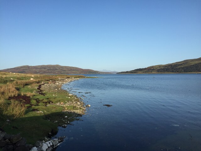
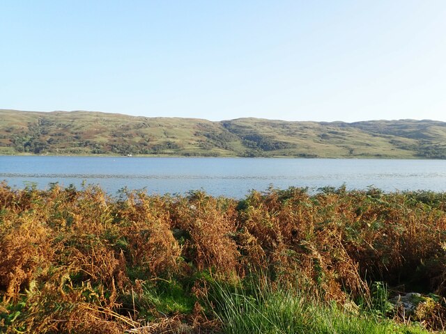
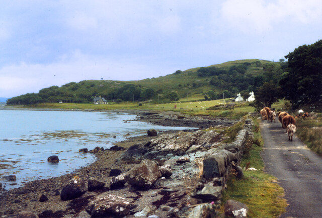
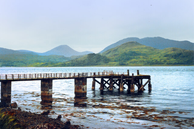
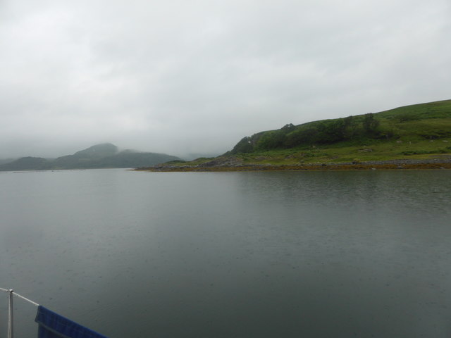
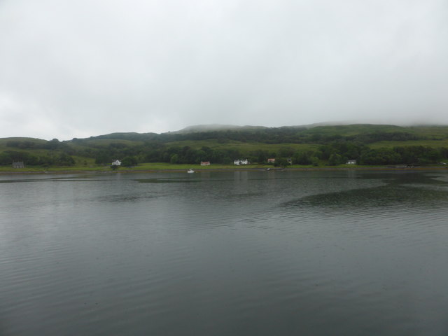
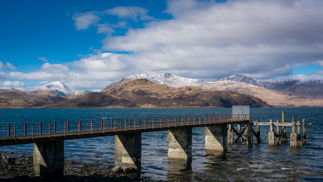
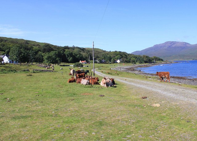
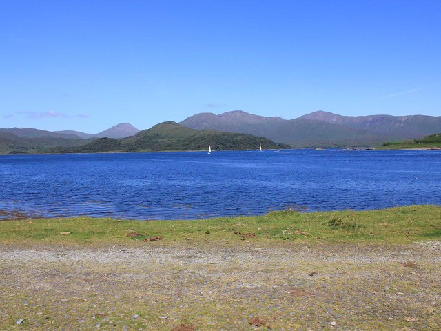
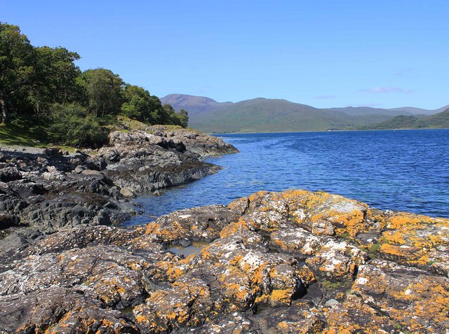
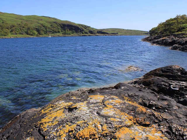
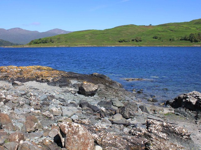
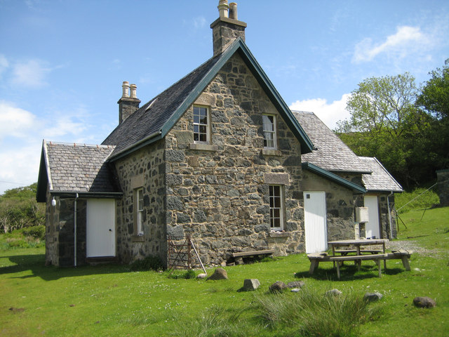
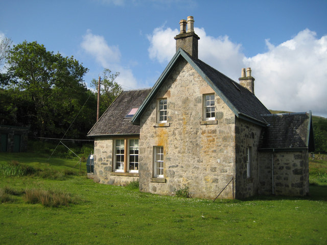
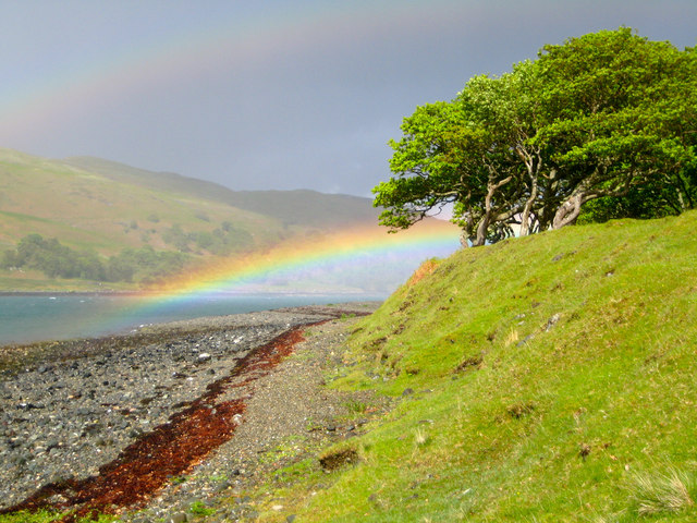
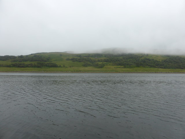
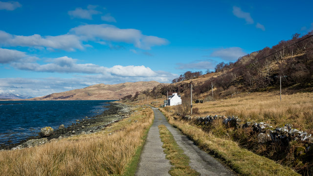
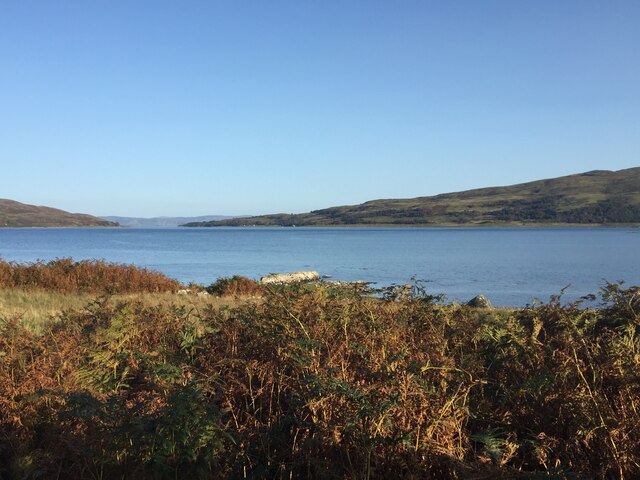
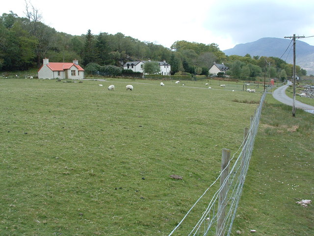
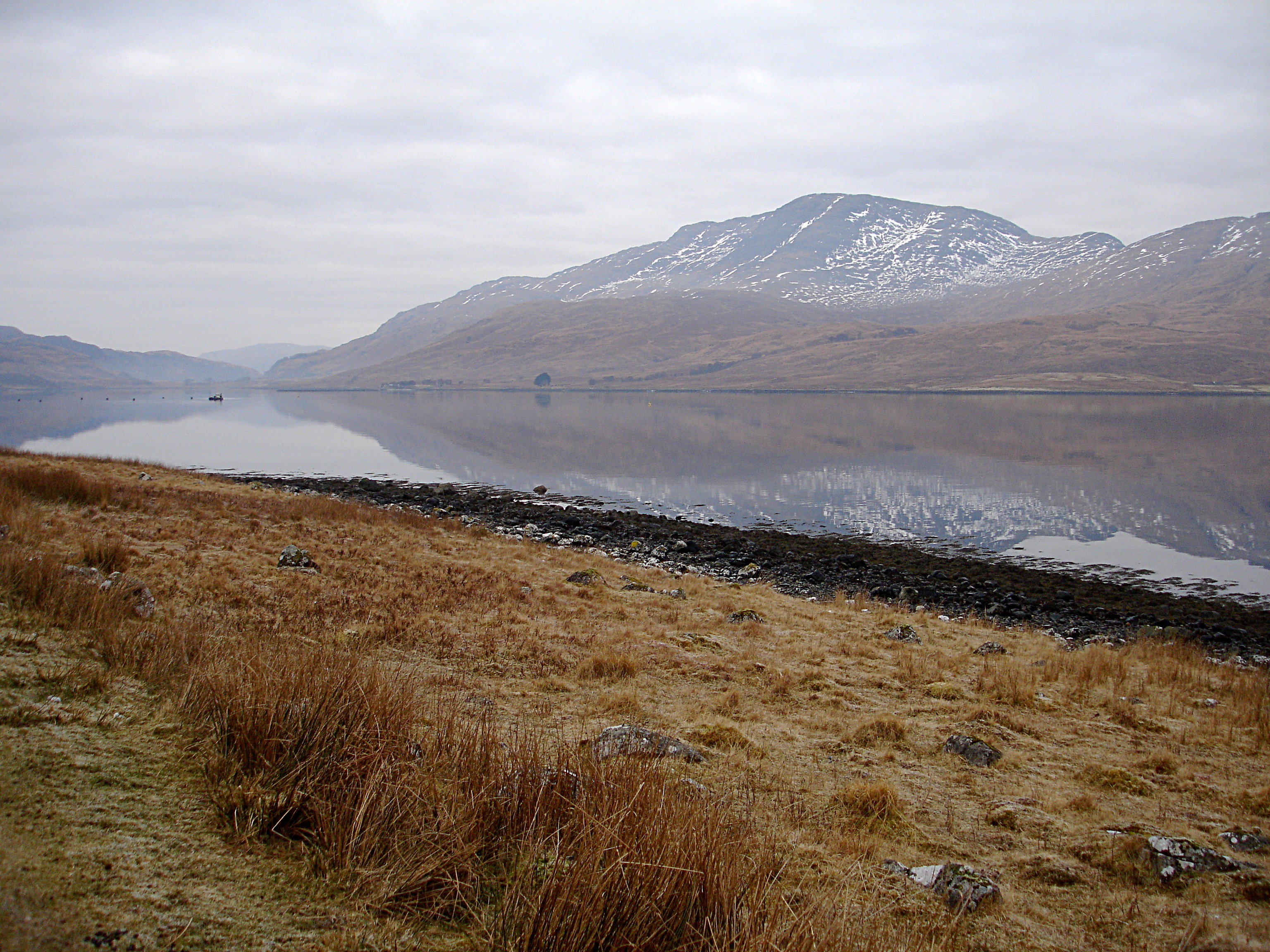
Cnoc nam Ban Images

Images are sourced within 2km of 56.378289/-5.7270704 or Grid Reference NM6926. Thanks to Geograph Open Source API. All images are credited.

Loch Spelve South east of the island of Mull
Loch Spelve
South east of the island of Mull
Looking south over Loch Spelve
Pedestrians at Croggan A stroll beside the sea. See also <a href="https://www.geograph.org.uk/photo/393942">NM7027 : Traffic jam in Croggan !</a>
Pedestrians at Croggan
A stroll beside the sea. See also NM7027 : Traffic jam in Croggan !
Croggan Pier 1983 A rather blurry old holiday snap from the 1980s showing this old pier was in a derelict state even then.
A more recent picture from 2017 <a href="https://www.geograph.org.uk/photo/5324220">NM7027 : Croggan Pier</a> shows it's still there and hasn't got into much more of a state. If anything, it's looking slightly tidier, but that might just be my old picture.
Croggan Pier 1983
A rather blurry old holiday snap from the 1980s showing this old pier was in a derelict state even then. A more recent picture from 2017 NM7027 : Croggan Pier shows it's still there and hasn't got into much more of a state. If anything, it's looking slightly tidier, but that might just be my old picture.
Uamhag Labhruinn
Uamhag Labhruinn
Croggan from Loch Spelve
Croggan Pier
Croggan Pier
Crogan, Mull From the end of the metalled road.
Crogan, Mull
From the end of the metalled road.
Crogan, Mull Looking NW from the end of the metalled road across Loch Spelve. The peninsula in the middle distance is Cruach Ardura, and the land on the right is Rubha na Cille.
Crogan, Mull
Looking NW from the end of the metalled road across Loch Spelve. The peninsula in the middle distance is Cruach Ardura, and the land on the right is Rubha na Cille.
Entrance to Loch Spelve Looking west towards Croggan.
Entrance to Loch Spelve
Looking west towards Croggan.
Entrance to Loch Spelve Looking east towards the Firth of Lorn.
Entrance to Loch Spelve
Looking east towards the Firth of Lorn.
Entrance to Loch Spelve Looking NNW across the entrance.
Entrance to Loch Spelve
Looking NNW across the entrance.
The Schoolhouse Croggan View showing front and back doors.
The Schoolhouse Croggan
View showing front and back doors.
The Schoolhouse Croggan Viewed from the W showing the old school room behind and the lounge and bedrooms.
The Schoolhouse Croggan
Viewed from the W showing the old school room behind and the lounge and bedrooms.
Rainbow over Loch Spleve Croggan How this cheered us up after a soaking!
Rainbow over Loch Spleve Croggan
How this cheered us up after a soaking!
Sithean Dubh
Sithean Dubh
Dalnaha and the road to Croggan
Loch Spelve This is a sea loch on the southeast coast of Mull
Loch Spelve
This is a sea loch on the southeast coast of Mull
Show me another place!

Cnoc nam Ban is located at Grid Ref: NM6926 (Lat: 56.378289, Lng: -5.7270704)

Unitary Authority: Argyll and Bute

Police Authority: Argyll and West Dunbartonshire

What 3 Words

///unframed.ramming.narrating. Near Lochbuie, Argyll & Bute

Nearby Locations

Cnoc nam Ban

Related Wikis

Loch Spelve

Loch Spelve is a sea loch on the southeast coast of the Isle of Mull, off the west coast of Scotland. It is almost landlocked with a relatively narrow...

Croggan

Croggan is a small scattered settlement on the Loch Spelve sea loch, in the south of the Isle of Mull, Argyll and Bute, Scotland. It is located in the...

Firth of Lorn

The Firth of Lorn or Lorne (Scottish Gaelic: An Linne Latharnach) is the inlet of the sea between the south-east coast of the Isle of Mull and the mainland...

Creach-Beinn (Mull)

Creach-Beinn (698 m) is a mountain in the south of the Isle of Mull, Scotland. It rises above the northern shore of Loch Spelve. A rocky mountain with...

Nearby Amenities

Located within 500m of 56.378289,-5.7270704
Source: PGS
Lat/Long: 56.3809523/-5.7333304
Created By: dmgroom_coastlines
Source: PGS
Lat/Long: 56.381076/-5.732752
Source: PGS
Lat/Long: 56.3813014/-5.7318431
Created By: dmgroom_coastlines
Source: PGS
Lat/Long: 56.381629/-5.730945
Source: PGS
Lat/Long: 56.3818563/-5.7302911
Source: PGS
Lat/Long: 56.3820801/-5.7295313
Source: PGS
Lat/Long: 56.382277/-5.7286583
Source: PGS
Lat/Long: 56.3825008/-5.7274135
Source: PGS
Lat/Long: 56.3826171/-5.7262819
Power: pole
Lat/Long: 56.3795875/-5.7348391
Power: pole
Lat/Long: 56.3800359/-5.7341102
Power: pole
Lat/Long: 56.3803712/-5.7330057
Power: pole
Lat/Long: 56.3807354/-5.7317588
Power: pole
Lat/Long: 56.3810684/-5.7306434
Power: pole
Lat/Long: 56.3813635/-5.729639
Power: pole
Lat/Long: 56.3817239/-5.7284304
Power: pole
Lat/Long: 56.381865/-5.7271807
Power: pole
Lat/Long: 56.3819978/-5.7259996
Power: pole
Lat/Long: 56.3821306/-5.724817
Power: pole
Lat/Long: 56.3822595/-5.7237194
The data included in this document is from www.openstreetmap.org. The data is made available under ODbL.

Have you been to Cnoc nam Ban?

Leave your review of Cnoc nam Ban below (or comments, questions and feedback).