Carnysgubor

Hill, Mountain in Pembrokeshire

Wales

Carnysgubor

Port Lieuog With adult grey seals and their pups.
Port Lieuog Credit: David Lally

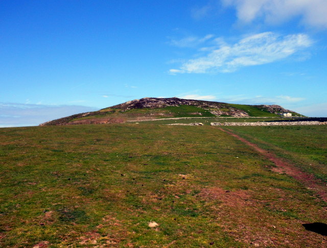
Carnysgubor is a prominent hill located in the county of Pembrokeshire, Wales. Situated near the village of Nevern, it is a popular destination for hikers and nature enthusiasts. The hill stands at an elevation of approximately 338 meters (1,109 feet) and offers stunning panoramic views of the surrounding countryside.

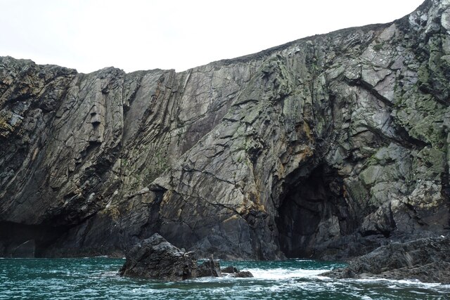
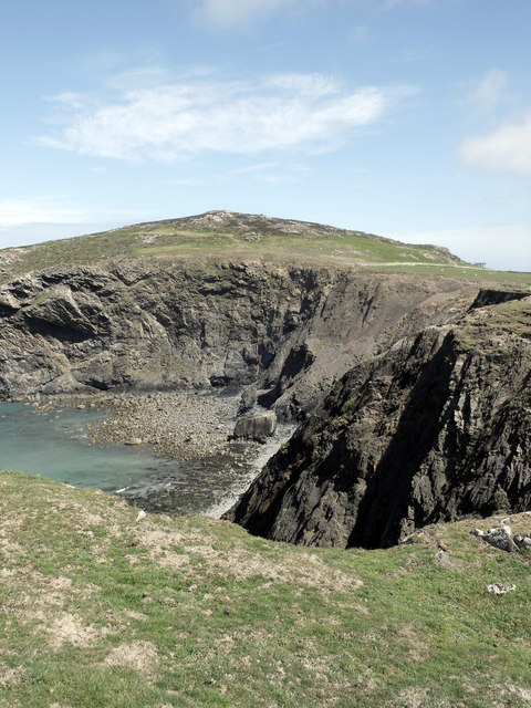
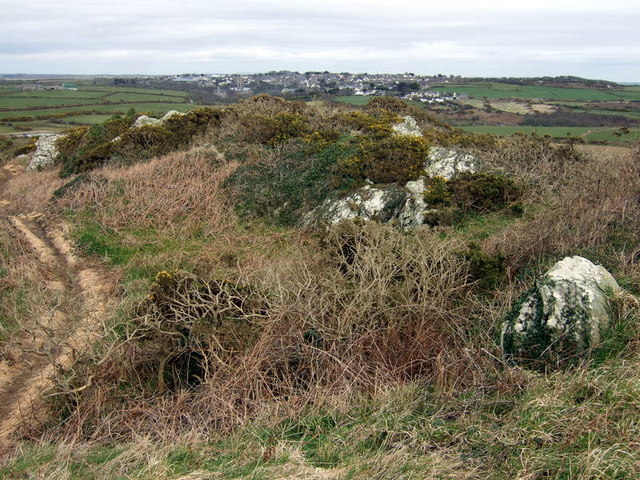
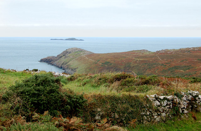
Carnysgubor is a part of the Preseli Hills, a range known for its rugged and picturesque landscapes. The hill is characterized by its rocky terrain and is covered in heather and grasses, which give it a distinct appearance. The area is also home to a variety of wildlife, including birds, small mammals, and reptiles.

There are several walking trails that lead to the summit of Carnysgubor, providing visitors with the opportunity to explore the hill and its surroundings. The routes vary in difficulty, catering to both experienced hikers and those seeking a more leisurely stroll. Along the way, walkers can enjoy the diverse flora and fauna, as well as the tranquil atmosphere of the countryside.

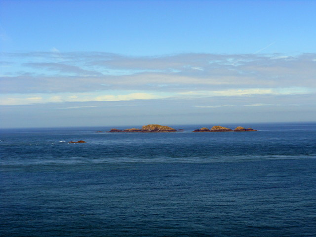
At the top of Carnysgubor, there is a trig point, which serves as a navigation marker and offers a great spot to take in the breathtaking views. On clear days, it is possible to see as far as the Preseli Hills, the nearby coast, and even the distant mountains of Snowdonia. The hill provides a peaceful and relaxing retreat, where visitors can immerse themselves in the beauty of the Welsh countryside.

If you have any feedback on the listing, please let us know in the comments section below.
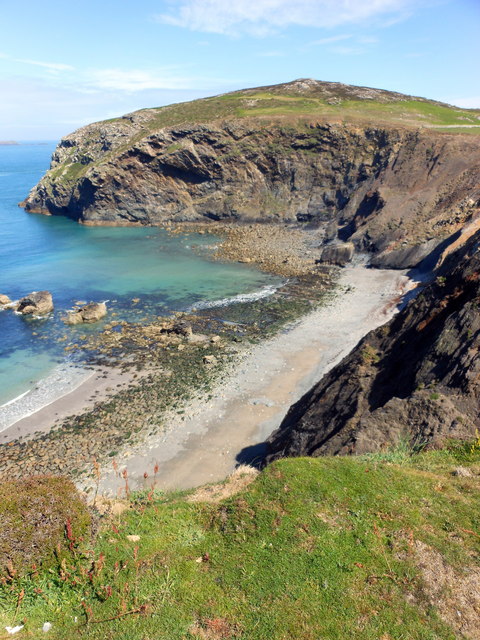
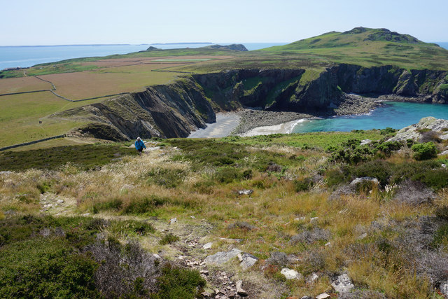
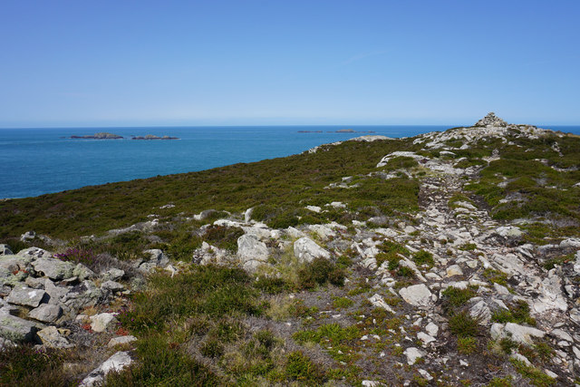
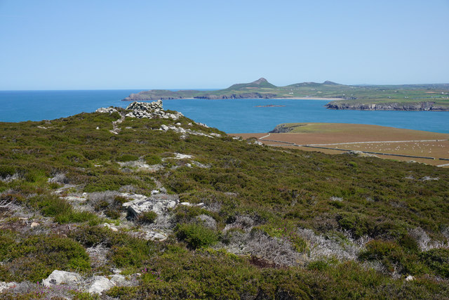
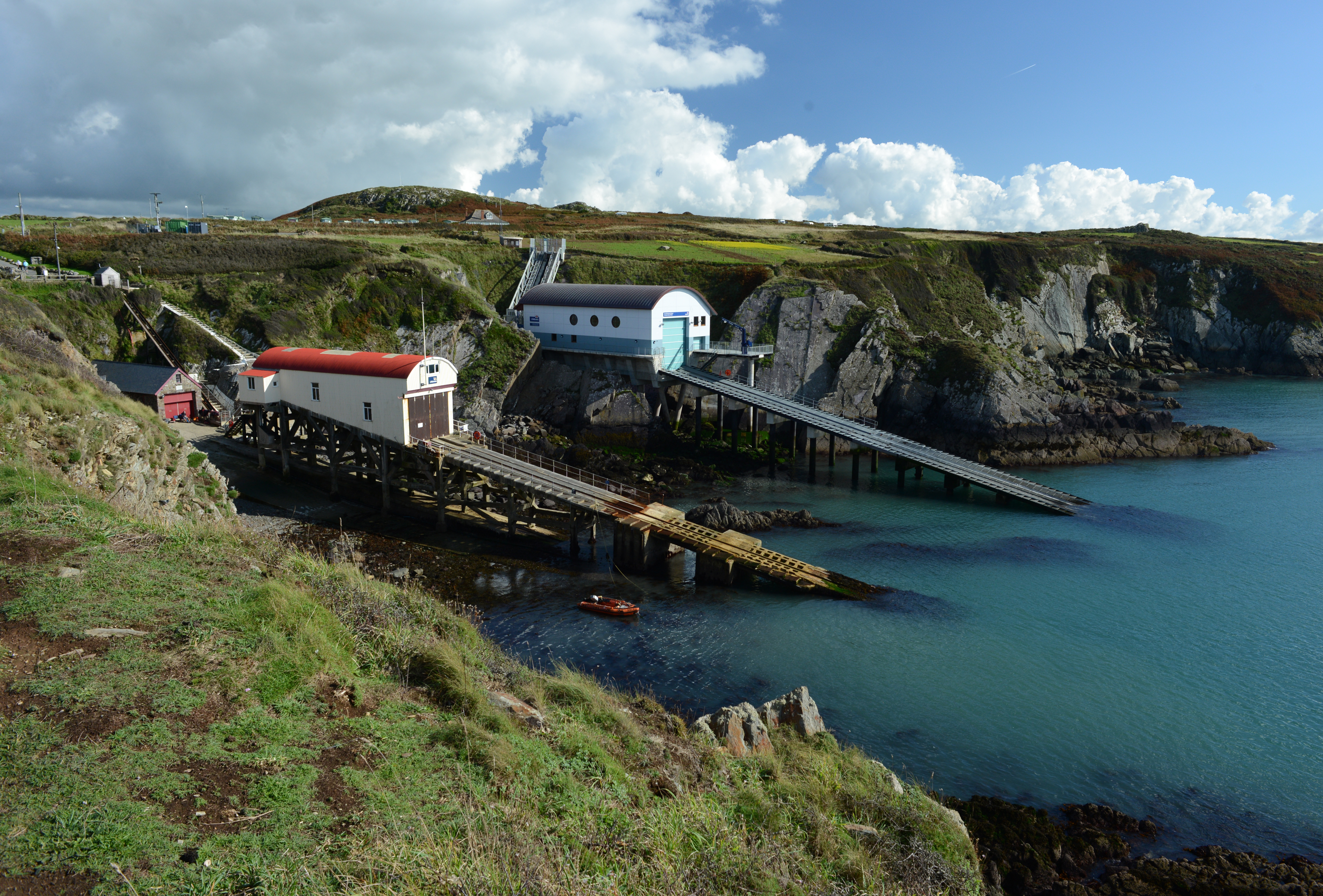
Carnysgubor Images

Images are sourced within 2km of 51.872415/-5.3432085 or Grid Reference SM6924. Thanks to Geograph Open Source API. All images are credited.

Port Lieuog With adult grey seals and their pups.
Port Lieuog
With adult grey seals and their pups.
Ramsey Island cave Not sure if this is Ogof Tywood or Ogof Organ.  The rock here is a metamorphic sandstone with strata at what looks to be about a 70 degree incline.  According to our guide this distortion is due to the igneous intrusion to the south which is now Carnllundain.
Ramsey Island cave
Not sure if this is Ogof Tywood or Ogof Organ. The rock here is a metamorphic sandstone with strata at what looks to be about a 70 degree incline. According to our guide this distortion is due to the igneous intrusion to the south which is now Carnllundain.
Pembrokeshire skyline View from the arched doorway of St Non’s Chapel, Ramsey Island silhouetted by the evening sun.

From Ynys Bery, Ynys Cantwr and Foel Fawr on the left, to Carn Llundain, the highest point of Ramsey Island, on the right.
Pembrokeshire skyline
View from the arched doorway of St Non’s Chapel, Ramsey Island silhouetted by the evening sun. From Ynys Bery, Ynys Cantwr and Foel Fawr on the left, to Carn Llundain, the highest point of Ramsey Island, on the right.
Ramsey Island at sunset Across the bay from St Justinian’s.
Ramsey Island at sunset
Across the bay from St Justinian’s.
Carn Llundain The highest point on Ramsey Island.
Carn Llundain
The highest point on Ramsey Island.
Sunset behind Ramsey Island
Carreg-gwylan and Trwyn Bendro: Ramsey
Trig point on Ramsey Island The rustic triangulation pillar which has an Ordnance Survey flush bracket bench mark serial number S7057 is described in detail at <span class="nowrap"><a title="http://trigpointinguk.com/trigs/trig-details.php?t=5580" rel="nofollow ugc noopener" href="http://trigpointinguk.com/trigs/trig-details.php?t=5580">Link</a><img style="margin-left:2px;" alt="External link" title="External link - shift click to open in new window" src="https://s1.geograph.org.uk/img/external.png" width="10" height="10"/></span>
Trig point on Ramsey Island
The rustic triangulation pillar which has an Ordnance Survey flush bracket bench mark serial number S7057 is described in detail at LinkExternal link
Carnllundain, Ramsey Island
Carnysgubor and The Bungalow, Ramsey Island
Aber Mawr Cliffs & Carnysgubor, Ramsey Island
Llechau-Uchaf rocks from Ramsey Island
Aber Mawr, Ramsey Island
Ogof Colomennod, Ramsey Island
The eastern side of Carnllundain From the trig point, you can see all over the island and also to the mainland, where Whitesands and St David's are clearly visible. In the far distance are the Preseli Hills.
The eastern side of Carnllundain
From the trig point, you can see all over the island and also to the mainland, where Whitesands and St David's are clearly visible. In the far distance are the Preseli Hills.
Path on Carnysgubor The main route to the third highest point on Ramsey Island (Carnllundain has a subsidiary peak higher than this). The view extends over Aber Mawr to Carnllundain with Skomer Island on the far skyline.
Path on Carnysgubor
The main route to the third highest point on Ramsey Island (Carnllundain has a subsidiary peak higher than this). The view extends over Aber Mawr to Carnllundain with Skomer Island on the far skyline.
The summit of Carnysgubor The hill has a small summit ridge with a couple of subsidiary lumps.
The summit of Carnysgubor
The hill has a small summit ridge with a couple of subsidiary lumps.
Subsidiary peak and cairn on Carnysgubor Carn Llidi and Whitesands Bay are very clear on the mainland. The image also shows the flat north eastern corner of the island where most of its farming takes place.
Subsidiary peak and cairn on Carnysgubor
Carn Llidi and Whitesands Bay are very clear on the mainland. The image also shows the flat north eastern corner of the island where most of its farming takes place.
Show me another place!

Carnysgubor is located at Grid Ref: SM6924 (Lat: 51.872415, Lng: -5.3432085)

Unitary Authority: Pembrokeshire

Police Authority: Dyfed Powys

What 3 Words

///nooks.strike.inferior. Near St Davids, Pembrokeshire

Related Wikis

Nearby Amenities

Located within 500m of 51.872415,-5.3432085
Carnysgubor
Natural: peak
Lat/Long: 51.8720446/-5.3434183
The data included in this document is from www.openstreetmap.org. The data is made available under ODbL.

Have you been to Carnysgubor?

Leave your review of Carnysgubor below (or comments, questions and feedback).