Cnoc Pheadair

Hill, Mountain in Inverness-shire

Scotland

Cnoc Pheadair

Craigview, near Kinloid/Ceann an Leothaid A smallholding and island of green in Arisaig.
Craigview, near Kinloid/Ceann an Leothaid Credit: M J Richardson

Cnoc Pheadair, also known as Peter's Hill, is a prominent hill located in Inverness-shire, Scotland. With an elevation of 606 meters (1,988 feet), it is classified as a Corbett, a term used to describe a Scottish mountain between 2,500 and 3,000 feet (762 and 914 meters) in height.

Situated in the northwest of Inverness-shire, Cnoc Pheadair offers breathtaking panoramic views of the surrounding landscape. It is part of a range of hills known as the Fannichs, which also includes several other notable peaks such as Sgurr Mor and Meall a' Chrasgaidh. The hill is located within the Fannichs Nature Reserve, an area renowned for its rich biodiversity and stunning natural beauty.

Hiking enthusiasts are drawn to Cnoc Pheadair due to its accessible trails and relatively straightforward ascent. The most popular route to the summit starts from the A832 road near the village of Torran. The path gradually ascends through heather-covered slopes, offering picturesque views of Loch a' Bhraoin and the surrounding countryside.

At the summit, walkers are rewarded with a breathtaking vista that spans across the vast wilderness of the Scottish Highlands. On clear days, it is possible to see as far as the distant peaks of Ben Wyvis and An Teallach. The summit is marked by a cairn, providing a picturesque spot for hikers to rest and take in the awe-inspiring scenery.

Overall, Cnoc Pheadair is a captivating hill that offers outdoor enthusiasts an opportunity to immerse themselves in the natural beauty of Inverness-shire while enjoying a rewarding hike to its summit.

If you have any feedback on the listing, please let us know in the comments section below.

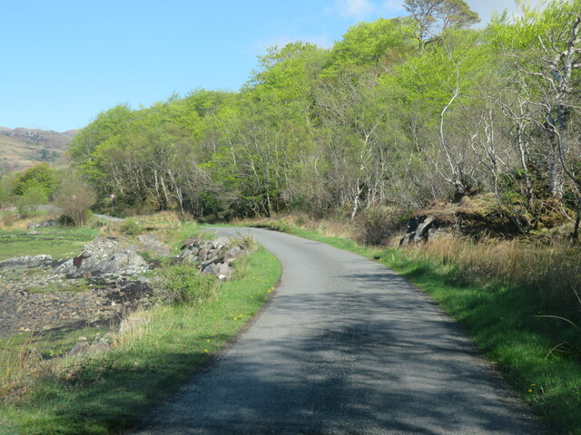
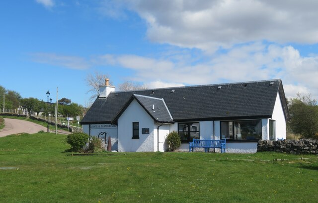
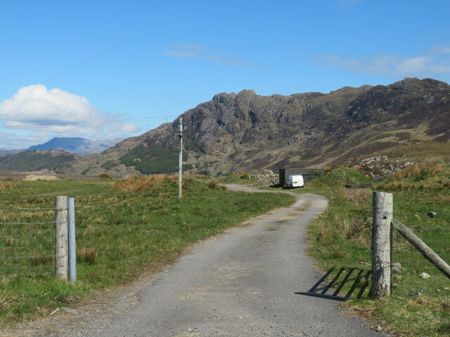
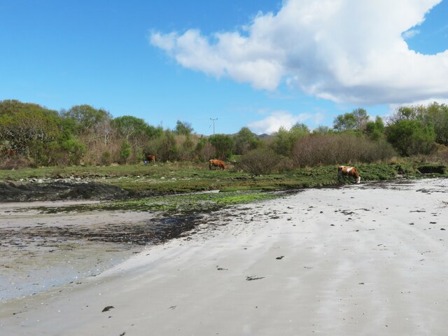
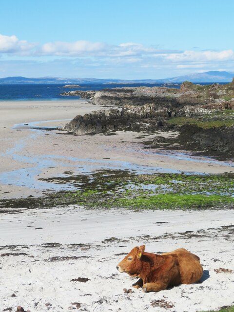
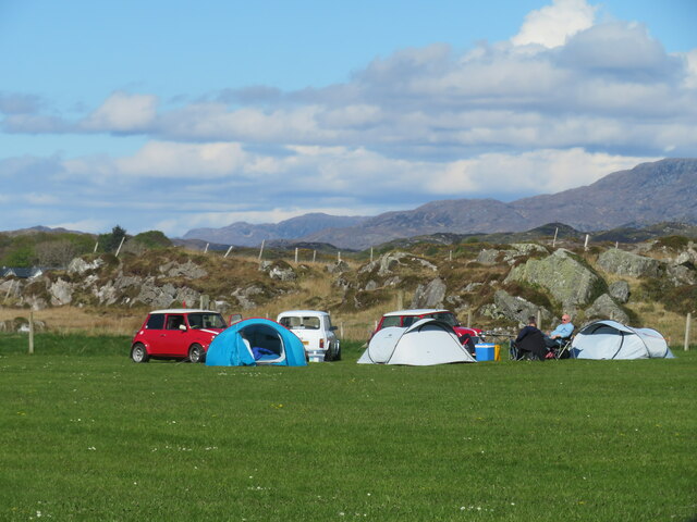
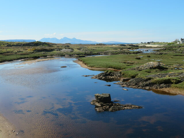
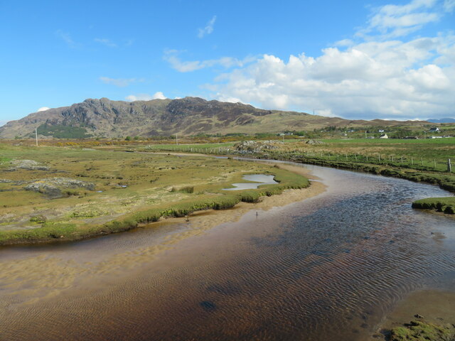
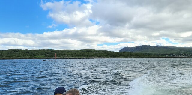
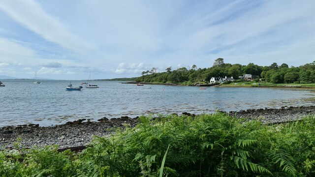
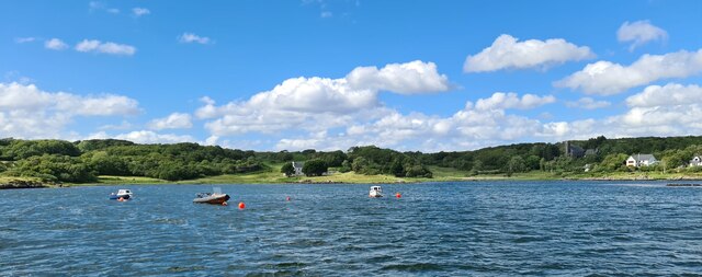
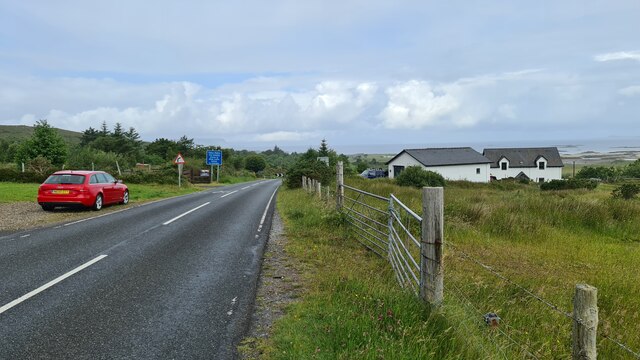
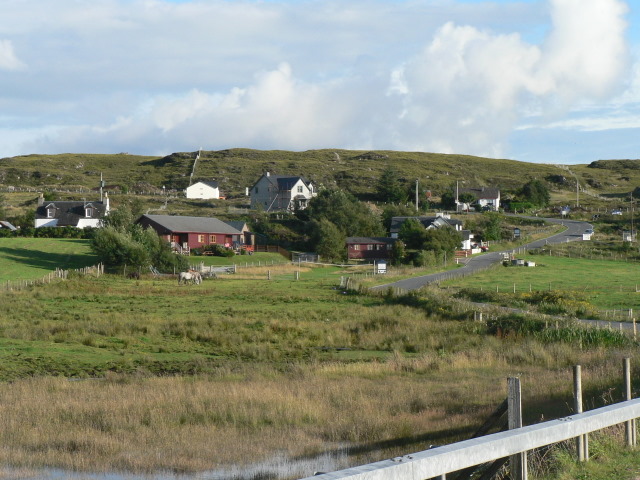
Cnoc Pheadair Images

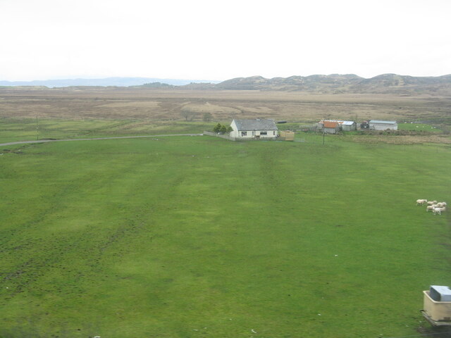
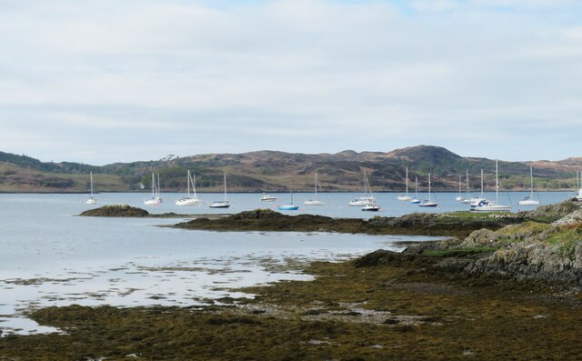
Images are sourced within 2km of 56.91727/-5.8465172 or Grid Reference NM6587. Thanks to Geograph Open Source API. All images are credited.

Craigview, near Kinloid/Ceann an Leothaid A smallholding and island of green in Arisaig.
Craigview, near Kinloid/Ceann an Leothaid
A smallholding and island of green in Arisaig.
The Arisaig Hotel Close to the village centre and just across the road from the sea.
The Arisaig Hotel
Close to the village centre and just across the road from the sea.
Yachts at Arisaig I'm no yachtsman, but it strikes me that a degree of expertise is needed to navigate through the many rocky shoals and islets just off the coast here.
Yachts at Arisaig
I'm no yachtsman, but it strikes me that a degree of expertise is needed to navigate through the many rocky shoals and islets just off the coast here.
Road through woodland The road from Rhue to Arisaig, about a mile short of that village.
Road through woodland
The road from Rhue to Arisaig, about a mile short of that village.
Rhue road near Arisaig A popular photo subject, simply because there's just 70m or so of this road cutting a corner of the grid square.
Rhue road near Arisaig
A popular photo subject, simply because there's just 70m or so of this road cutting a corner of the grid square.
Land, Sea and Island Centre, Arisaig Heritage and information centre at Arisaig.
Land, Sea and Island Centre, Arisaig
Heritage and information centre at Arisaig.
Farm road, Achraig The road doesn't appear to go anywhere in particular, but there is a good view towards the craggy slopes of Creag Mhor.
Farm road, Achraig
The road doesn't appear to go anywhere in particular, but there is a good view towards the craggy slopes of Creag Mhor.
White sand at Gortenachullish White sand beach at the road end from Back of Keppoch.
White sand at Gortenachullish
White sand beach at the road end from Back of Keppoch.
Beach bovine Just lazing on the beach and soaking up the spring sunshine at Gortenachullish.
Beach bovine
Just lazing on the beach and soaking up the spring sunshine at Gortenachullish.
Mini camping Mini enthusiasts with mini tents at Back of Keppoch.
Mini camping
Mini enthusiasts with mini tents at Back of Keppoch.
Allt Cam Carach heading seawards The last few metres of this burn which by this point has brackish waters. The mountains of Rum can be seen on the horizon.
Allt Cam Carach heading seawards
The last few metres of this burn which by this point has brackish waters. The mountains of Rum can be seen on the horizon.
Upstream along  Allt Cam Carach A slow and sluggish burn which drains a large area of low lying bog and scrubland known as Mointeach Mhor.
Upstream along Allt Cam Carach
A slow and sluggish burn which drains a large area of low lying bog and scrubland known as Mointeach Mhor.
Post Office and shop at Arisaig/Arasaig In the village on the B8008, which would have been the main Fort William-Mallaig road until it was bypassed.
Post Office and shop at Arisaig/Arasaig
In the village on the B8008, which would have been the main Fort William-Mallaig road until it was bypassed.
Loch nan Ceall Taking a trip from Arisaig to Eigg
Loch nan Ceall
Taking a trip from Arisaig to Eigg
Looking towards Morroch Point
Arisaig harbour
Arisaig harbour
Back of Keppoch
Back of Keppoch
Southbound platyform at Arisaig station On the West Highland Line.
Southbound platyform at Arisaig station
On the West Highland Line.
Show me another place!

Cnoc Pheadair is located at Grid Ref: NM6587 (Lat: 56.91727, Lng: -5.8465172)

Unitary Authority: Highland

Police Authority: Highlands and Islands

What 3 Words

///earlobes.promises.labels. Near Arisaig, Highland

Related Wikis

Arisaig railway station

Arisaig railway station serves the village of Arisaig on the west coast of the Highland region of Scotland. This station is on the West Highland Line,...
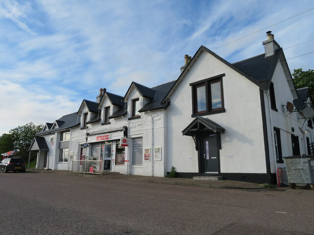
Arisaig

Arisaig (Scottish Gaelic: Àrasaig) is a village in Lochaber, Inverness-shire. It lies 7 miles (11 kilometres) south of Mallaig on the west coast of the...

Back of Keppoch

Back of Keppoch (Gaelic: Cùl na Ceapaich) is a small coastal settlement in the northwest Scottish Highlands, 40 miles (65 kilometres) west of Fort William...

Làrach Mòr

Làrach Mòr is a garden in Lochaber, in the western Highlands of Scotland. It lies 1 kilometre (0.62 mi) east of Arisaig, in the crook of a bend in the...

Nearby Amenities

Located within 500m of 56.91727,-5.8465172
Arisaig War Memorial
Historic: memorial
Lat/Long: 56.91625/-5.84835
Material: wood
Power: pole
Lat/Long: 56.920461/-5.8467919
Material: wood
Power: pole
Lat/Long: 56.9192795/-5.847508
Material: wood
Power: pole
Lat/Long: 56.9132386/-5.8494794
Material: wood
Power: pole
Lat/Long: 56.9138272/-5.8497584
Material: wood
Power: pole
Lat/Long: 56.9144099/-5.8500159
Material: wood
Power: pole
Lat/Long: 56.9151127/-5.8503699
Material: wood
Power: pole
Lat/Long: 56.9157657/-5.8506811
Material: wood
Power: pole
Lat/Long: 56.9173587/-5.8517835
Material: wood
Power: pole
Lat/Long: 56.9177262/-5.8510298
Material: wood
Power: pole
Lat/Long: 56.91806/-5.850386
Material: wood
Power: pole
Lat/Long: 56.9184685/-5.8496055
Material: wood
Power: pole
Lat/Long: 56.9189194/-5.8486989
Material: wood
Power: pole
Lat/Long: 56.9182562/-5.8499783
Power: pole
Lat/Long: 56.919057/-5.8508474
Power: pole
Lat/Long: 56.9198549/-5.8515957
Power: pole
Lat/Long: 56.9204492/-5.852218
The data included in this document is from www.openstreetmap.org. The data is made available under ODbL.

Have you been to Cnoc Pheadair?

Leave your review of Cnoc Pheadair below (or comments, questions and feedback).