Cnoc na Croiche

Hill, Mountain in Inverness-shire

Scotland

Cnoc na Croiche

Half of Five in Kilmore Field in front of An Doras Dearg, Kilmore.
Half of Five in Kilmore Credit: Ruud van Ruitenbeek

Cnoc na Croiche is a prominent hill located in Inverness-shire, Scotland. It is situated near the village of Gorthleck, approximately 15 miles south of the city of Inverness. With an elevation of 349 meters (1,145 feet), it offers stunning panoramic views of the surrounding countryside.

The hill is known for its distinctive shape, which resembles a hanging basket or gallows, hence its name, which translates to "Hill of the Gallows" in English. This name has historical significance, as it is believed that the spot was once used for public executions during the medieval period.

Cnoc na Croiche is a popular destination for outdoor enthusiasts and hikers due to its accessibility and captivating scenery. The hill is easily accessible via a well-marked footpath that winds its way to the summit. Along the way, visitors can enjoy the lush green landscape, dotted with heather and wildflowers.

From the top, on a clear day, one can enjoy breathtaking views of the surrounding Loch Ness, the Great Glen, and the picturesque Scottish Highlands. The hill also offers an ideal vantage point to observe the diverse wildlife inhabiting the area, including red deer, golden eagles, and various species of birds.

Overall, Cnoc na Croiche is a must-visit destination for nature lovers and history enthusiasts in Inverness-shire. Its unique shape, historical significance, and stunning views make it a memorable experience for all who venture to its summit.

If you have any feedback on the listing, please let us know in the comments section below.

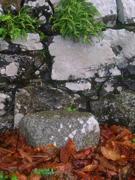
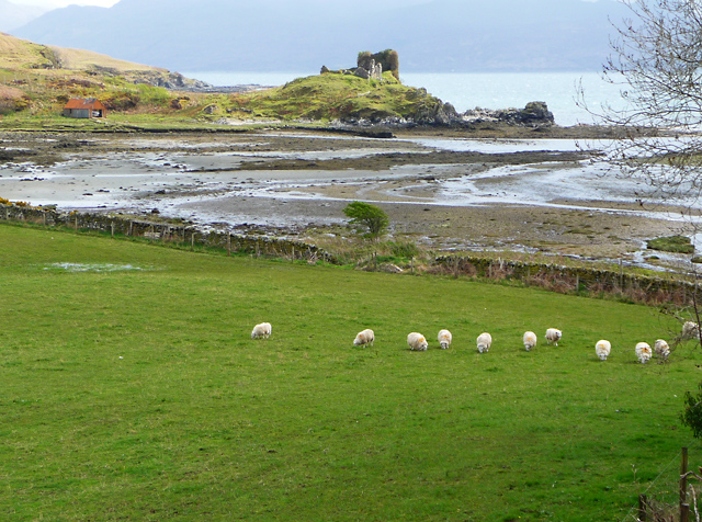
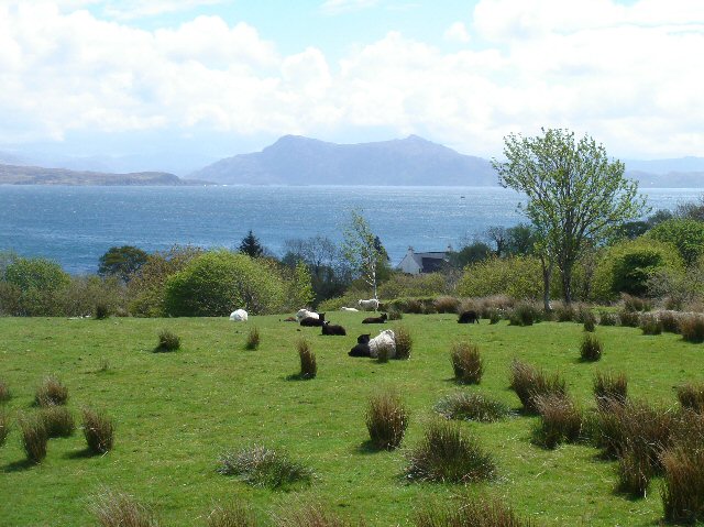
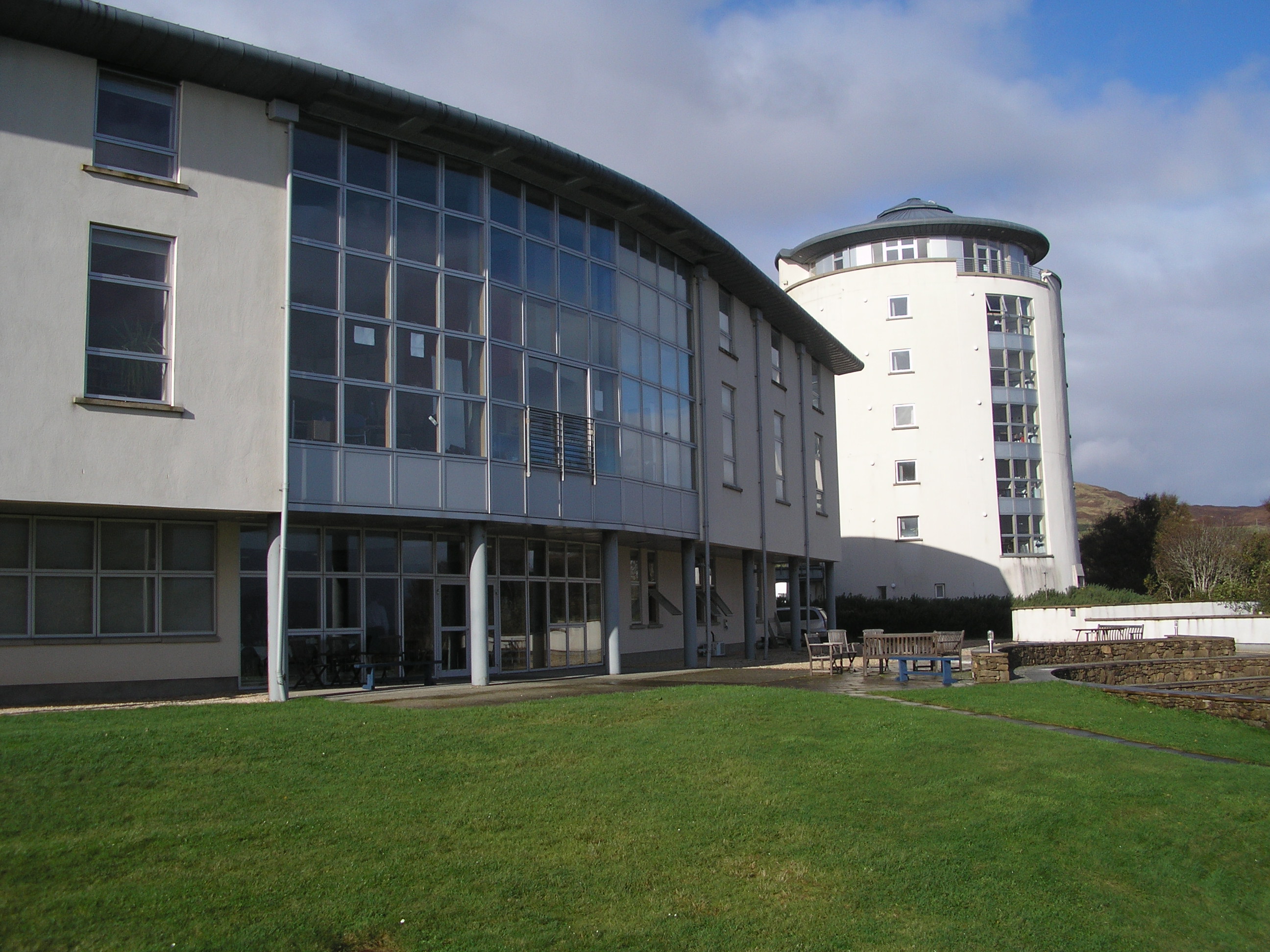
Cnoc na Croiche Images

Images are sourced within 2km of 57.096291/-5.8660404 or Grid Reference NG6507. Thanks to Geograph Open Source API. All images are credited.

Half of Five in Kilmore Field in front of An Doras Dearg, Kilmore.
Half of Five in Kilmore
Field in front of An Doras Dearg, Kilmore.
The view from Teangue This view looks down from our holiday cottage towards Knock Bay and the water between Skye and the mainland.
The view from Teangue
This view looks down from our holiday cottage towards Knock Bay and the water between Skye and the mainland.
Heavy snow on Skye Looking down on Knock Castle from our cottage up the hill at Teangue. The very heavy snow started in the early morning, lasted for about 6 hours and left about 6 inches of snow.  All of the snow had gone by late evening.
Heavy snow on Skye
Looking down on Knock Castle from our cottage up the hill at Teangue. The very heavy snow started in the early morning, lasted for about 6 hours and left about 6 inches of snow. All of the snow had gone by late evening.
Knock Castle in the snow Our ramble to Knock castle in the quickly melting snow made for a very wet walk.
Knock Castle in the snow
Our ramble to Knock castle in the quickly melting snow made for a very wet walk.
Flora MacDonald Hostel Quite a small hostel, at Kilmore on Sleat. Good views across the Sound of Sleat.

A similar view 10 years ago, with another Trees For Life minibus: <a href="https://www.geograph.org.uk/photo/856992">NG6506 : Flora MacDonald hostel</a>
Flora MacDonald Hostel
Quite a small hostel, at Kilmore on Sleat. Good views across the Sound of Sleat. A similar view 10 years ago, with another Trees For Life minibus: NG6506 : Flora MacDonald hostel
Old Milestone by the A851, Kilmore, Isle of Skye Highland granite milestone by the A851, in parish of Sleat (District), Kilmore Church, South end of wall in front of church.

Inscription once read:-
: (Ardvasar / 3) : : (Broadford / 14) :

Surveyed

Milestone Society National ID: HI_SKBFAM13
Old Milestone by the A851, Kilmore, Isle of Skye
Highland granite milestone by the A851, in parish of Sleat (District), Kilmore Church, South end of wall in front of church. Inscription once read:- : (Ardvasar / 3) : : (Broadford / 14) : Surveyed Milestone Society National ID: HI_SKBFAM13
Sleat War Memorial Located just north of the church in Kilmore, the monument lists the fallen men of Sleat in each of the two world wars of the twentieth century.
The water is the southern end of the Sound of Sleat, with the Scottish mainland beyond.
Sleat War Memorial
Located just north of the church in Kilmore, the monument lists the fallen men of Sleat in each of the two world wars of the twentieth century. The water is the southern end of the Sound of Sleat, with the Scottish mainland beyond.
New houses in Ferindonald Two new buildings, the one on the left incomplete, overlooking the Sound of Sleat.
New houses in Ferindonald
Two new buildings, the one on the left incomplete, overlooking the Sound of Sleat.
Arainn Ostaig The original part of the Sabhal Mor Ostaig Gaelic College, now a campus of the UHI.
Arainn Ostaig
The original part of the Sabhal Mor Ostaig Gaelic College, now a campus of the UHI.
Rough grazings above the Sound of Sleat Cattle are on this ground in Ferindonald. The view is to the Scottish mainland.
Rough grazings above the Sound of Sleat
Cattle are on this ground in Ferindonald. The view is to the Scottish mainland.
Bàgh a' Chnuic Knock Bay, with the remains of Knock Castle beyond.
Bàgh a' Chnuic
Knock Bay, with the remains of Knock Castle beyond.
Converted church
Converted church
Sabhal Mor Ostaig Some of the older buildings of the Sabhal Mor Ostaig Gaelic College, which now forms part of the University of the Highlands and Islands.
Sabhal Mor Ostaig
Some of the older buildings of the Sabhal Mor Ostaig Gaelic College, which now forms part of the University of the Highlands and Islands.
Tree horizon Trees to the north of Sabhal Mor Ostaig College.
Tree horizon
Trees to the north of Sabhal Mor Ostaig College.
Sabhal Mòr Ostaig The handsome architecture of some of the new buildings at Sabhal Mòr Ostaig college. This campus is part of the University of the Highlands and Islands and is the only college in the world where all teaching and administration is conducted in Scottish Gaelic.
Sabhal Mòr Ostaig
The handsome architecture of some of the new buildings at Sabhal Mòr Ostaig college. This campus is part of the University of the Highlands and Islands and is the only college in the world where all teaching and administration is conducted in Scottish Gaelic.
Contrasting greenhouses In the grounds of Sabhal Mòr Ostaig Gaelic College. The hills in the background are on the Scottish mainland,above Loch Nevis,
Contrasting greenhouses
In the grounds of Sabhal Mòr Ostaig Gaelic College. The hills in the background are on the Scottish mainland,above Loch Nevis,
Show me another place!

Cnoc na Croiche is located at Grid Ref: NG6507 (Lat: 57.096291, Lng: -5.8660404)

Unitary Authority: Highland

Police Authority: Highlands and Islands

What 3 Words

///decoding.origins.trudges. Near Armadale, Highland

Nearby Locations

Kilmore Cnoc na Croiche

Related Wikis

Ferindonald

Ferindonald or Ferrindonald (Scottish Gaelic: Fearann Dòmhnaill) is a crofting township, located on the east coast of the Sleat peninsula, lying on the...

Kilmore, Skye

Kilmore (Gaelic: A' Chille Mhór) is a small hamlet, on the east coast of the Sleat peninsula of the Isle of Skye is in the Scottish council area of Highland...

Bun-sgoil Shlèite

Bun-sgoil Shlèite is a primary school on the Sleat peninsula of the island of Skye in Scotland. It is Scotland's only Gaelic Medium School with an English...

Sabhal Mòr Ostaig

Sabhal Mòr Ostaig ([ˌs̪ɔɫ̪ ˌmoɾ ˈɔs̪t̪ɪkʲ]) (Great Barn of Ostaig) is a public higher education college situated in the Sleat peninsula in the south of...

Nearby Amenities

Located within 500m of 57.096291,-5.8660404
Kilmore
Name En: Kilmore
Name Gd: A' Chill Mhòr
Place: hamlet
Source: survey
Wikidata: Q13156762
Wikipedia: en:Kilmore, Skye
Lat/Long: 57.0941454/-5.8710158
Post Box
Ref: IV44 106
Source: survey
Lat/Long: 57.0935433/-5.8692022
Bus Stop
Bus: yes
Public Transport: platform
Shelter: yes
Source: survey
Lat/Long: 57.0936291/-5.8691283
Ferindonald
Name En: Ferindonald
Name Gd: Fearann Dòmhnaill
Place: village
Source: survey
Wikidata: Q2781315
Wikipedia: en:Ferindonald
Lat/Long: 57.0976166/-5.8681259
Sleat War Memorial
Historic: memorial
Memorial: war_memorial
Lat/Long: 57.0947701/-5.8672796
Power: pole
Lat/Long: 57.1005876/-5.8664256
Power: pole
Lat/Long: 57.1001695/-5.8674181
Power: pole
Lat/Long: 57.0999101/-5.8679116
Power: pole
Lat/Long: 57.0993871/-5.8688584
Power: pole
Lat/Long: 57.0991365/-5.8697408
Power: pole
Lat/Long: 57.0989223/-5.870465
Power: pole
Lat/Long: 57.0984576/-5.8709532
Power: pole
Lat/Long: 57.097984/-5.8714816
Power: pole
Lat/Long: 57.0975528/-5.8719564
Power: pole
Lat/Long: 57.096951/-5.8725786
Power: pole
Lat/Long: 57.0965125/-5.8730239
Power: pole
Lat/Long: 57.0960331/-5.8736086
Power: pole
Lat/Long: 57.0966771/-5.8703008
Power: pole
Lat/Long: 57.0991746/-5.8648577
A' Chill Mhòr - Kilmore
Traffic Sign: city_limit
Traffic Sign Direction: forward
Lat/Long: 57.0954745/-5.8675422
Fearann Dòmhnaill - Ferindonald
Traffic Sign: city_limit
Traffic Sign Direction: backward
Lat/Long: 57.0954832/-5.8675443
Dùn Phàruig
Alt Name: Dùn Fhàirce
Alt Name En: Dun Faich
Historic: archaeological_site
Lat/Long: 57.0940236/-5.8641332
The data included in this document is from www.openstreetmap.org. The data is made available under ODbL.

Have you been to Cnoc na Croiche?

Leave your review of Cnoc na Croiche below (or comments, questions and feedback).