Cnoc Roll

Hill, Mountain in Inverness-shire

Scotland

Cnoc Roll

Ruins of Duntulm Castle
Ruins of Duntulm Castle Credit: Clive Nicholson

Cnoc Roll is a prominent hill located in the county of Inverness-shire, Scotland. Standing at an impressive height of approximately 430 meters (1,410 feet), it offers breathtaking panoramic views of the surrounding countryside.

The hill is situated in the northern part of Inverness-shire, near the village of Invermoriston. It is part of the larger Glenmoriston Estate, which covers a vast area of scenic beauty and is known for its diverse wildlife and rich history.

Cnoc Roll boasts a variety of natural features, including a distinctive rounded summit that is easily recognizable from a distance. The hill is predominantly covered in heather and grass, providing a haven for various species of flora and fauna. It is not uncommon to spot native Scottish wildlife such as red deer, mountain hares, and golden eagles in the area.

For outdoor enthusiasts and nature lovers, Cnoc Roll offers excellent opportunities for hiking and hillwalking. There are several well-marked trails that lead up to the summit, catering to both beginners and experienced hikers. Along the way, visitors can enjoy the peaceful surroundings and take in the stunning views of the surrounding lochs, glens, and mountains.

Cnoc Roll is also steeped in history. The hill has been inhabited for thousands of years, with evidence of ancient settlements and burial sites found in the vicinity. Its strategic position overlooking the Great Glen and nearby Loch Ness makes it an important landmark with historical significance.

Overall, Cnoc Roll is a picturesque and enticing destination that combines natural beauty, outdoor activities, and a rich heritage, making it a must-visit location for those exploring Inverness-shire.

If you have any feedback on the listing, please let us know in the comments section below.
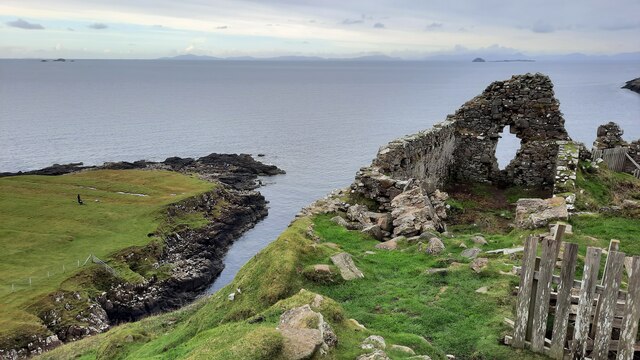
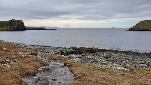
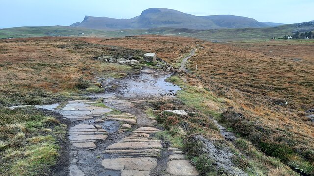
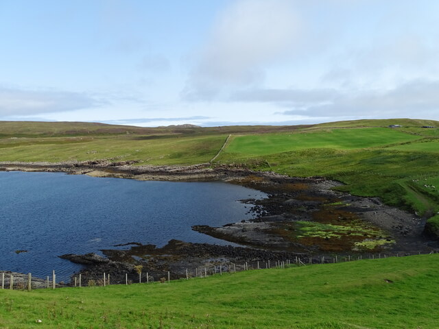
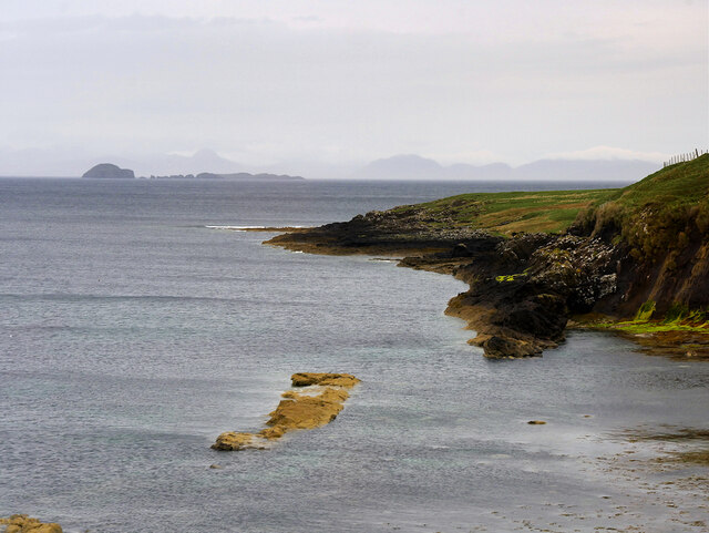
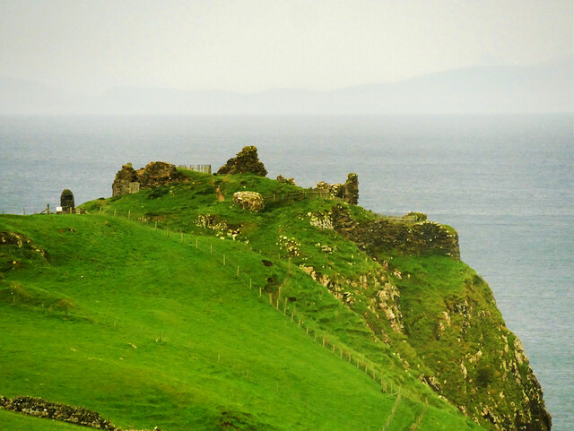
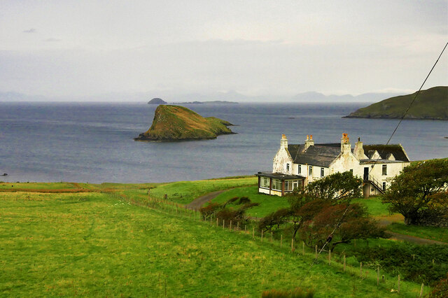
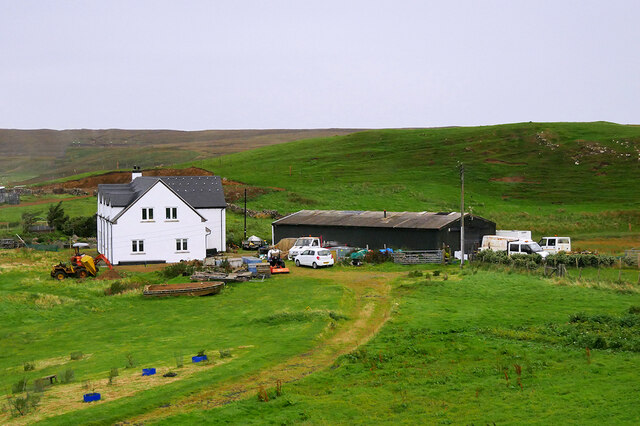
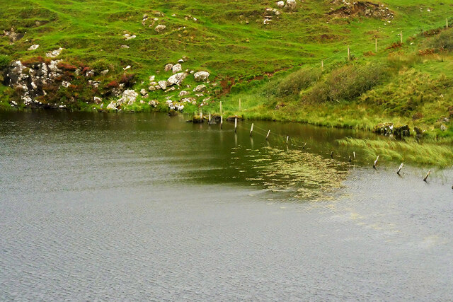
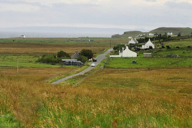
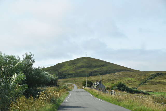
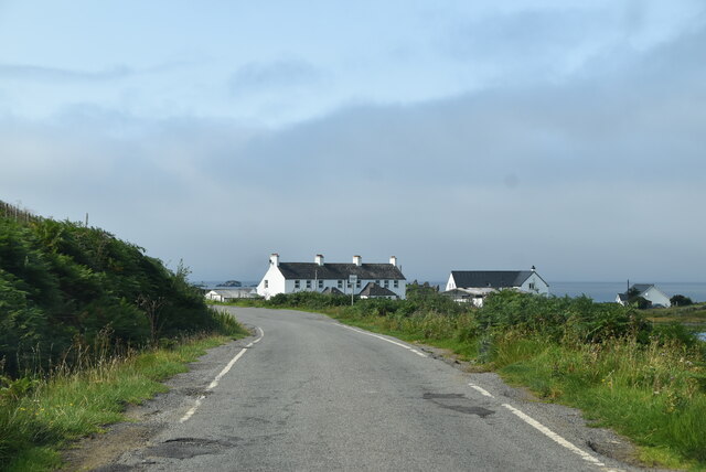
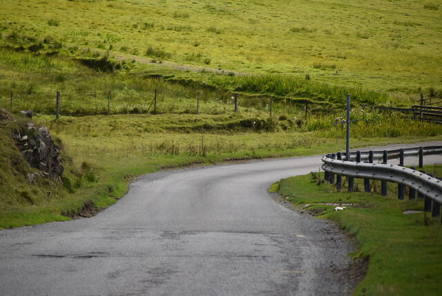
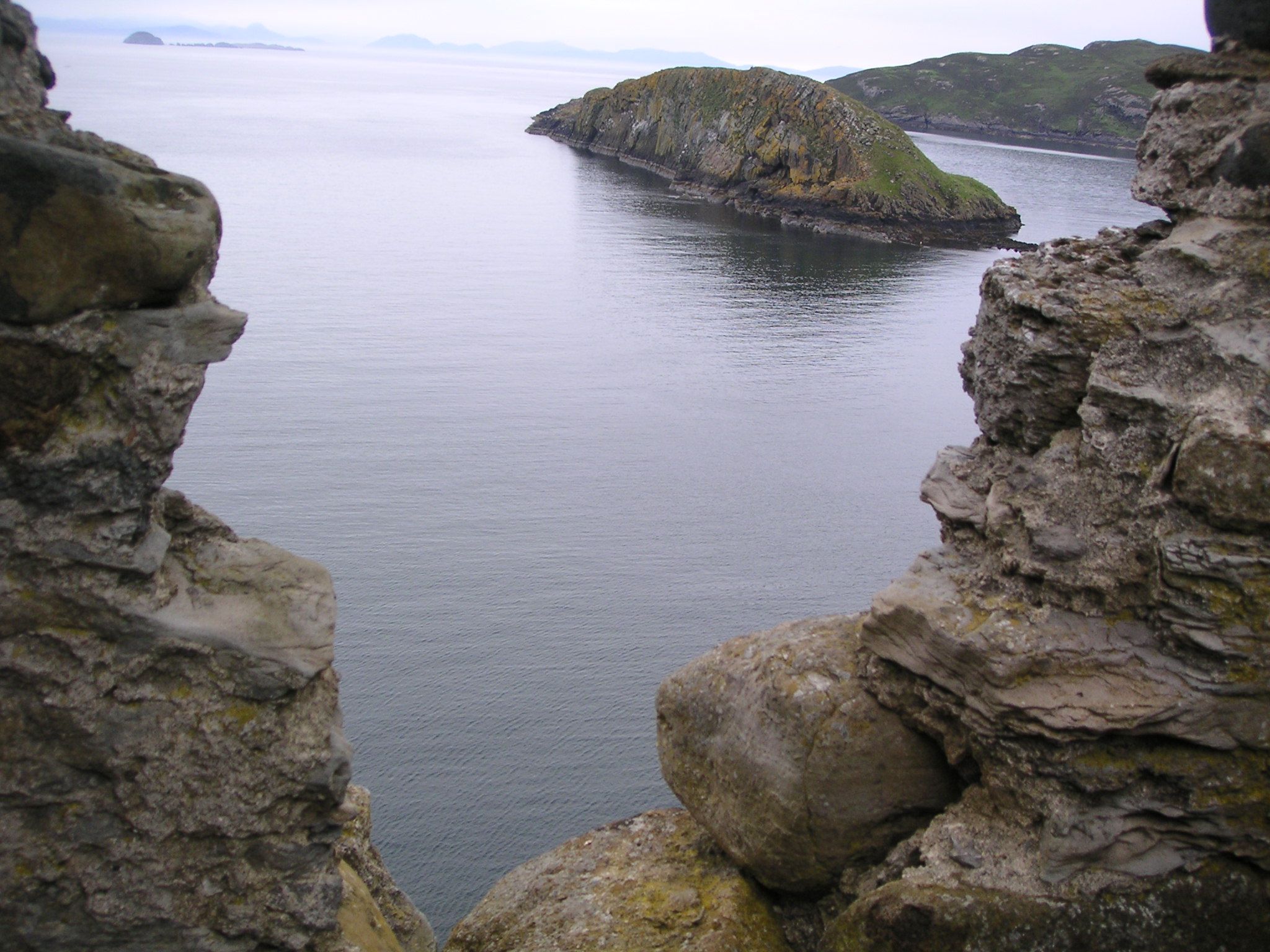
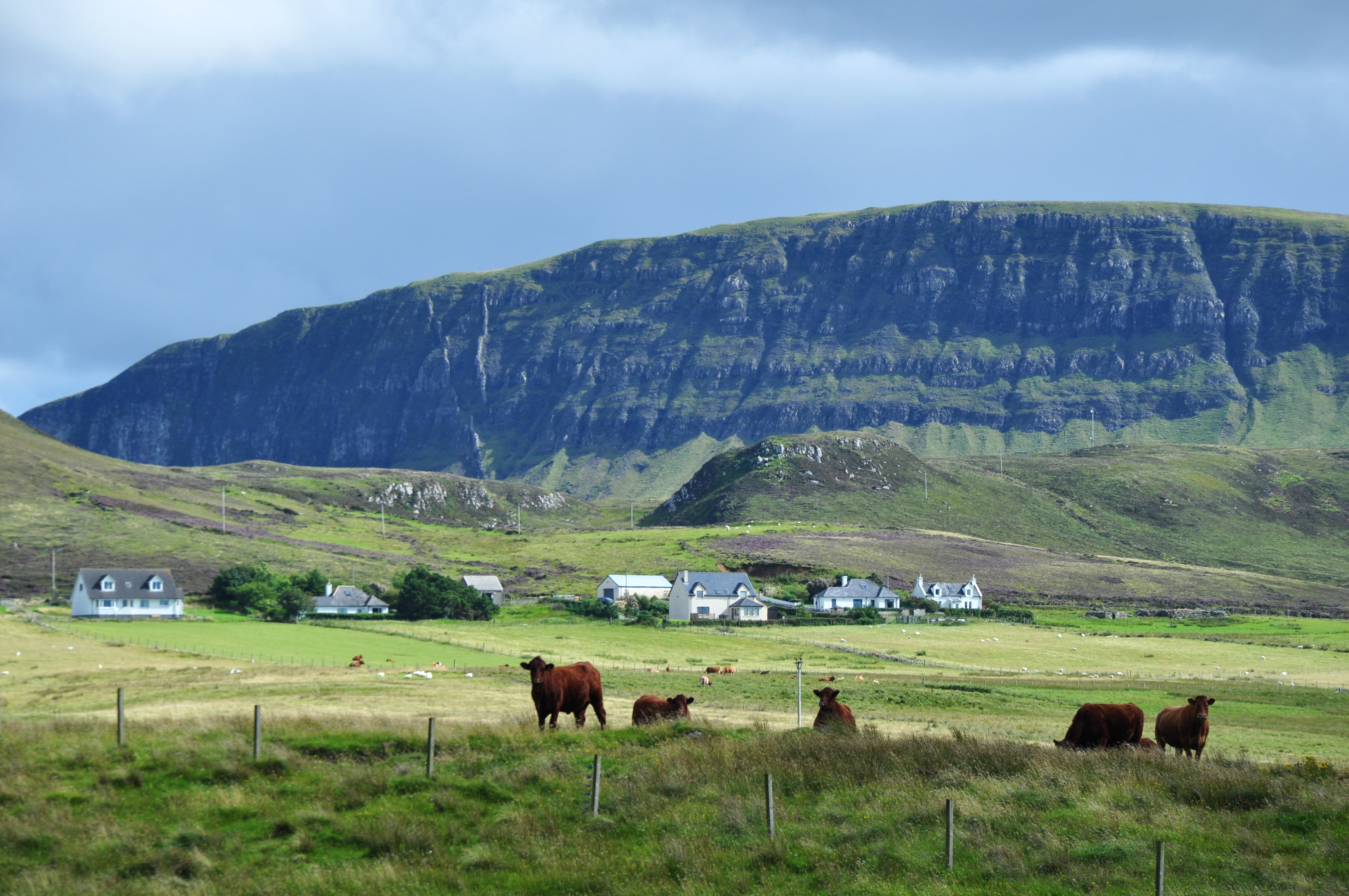
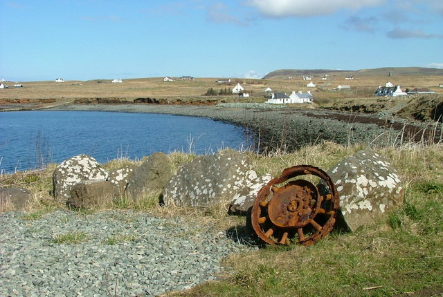
Cnoc Roll Images

Images are sourced within 2km of 57.680582/-6.3339606 or Grid Reference NG4173. Thanks to Geograph Open Source API. All images are credited.

Ruins of Duntulm Castle
The rocky shoreline in Duntulm Bay The view out to sea is framed by Duntulm Castle and the southern tip of Tulm Island.
The rocky shoreline in Duntulm Bay
The view out to sea is framed by Duntulm Castle and the southern tip of Tulm Island.
Path from Rubha Hunish
Port Duntulm
Port Duntulm
Coastline at Duntulm A large, flat rocky "island" left exposed at low tide.
Coastline at Duntulm
A large, flat rocky "island" left exposed at low tide.
Duntulm Castle The ruins of Duntulm Castle stand on the north coast of the Trotternish peninsula, near the hamlet of Duntulm. During the 17th century it was the seat of the chiefs of Clan MacDonald of Sleat. It is a scheduled monument (SM5307 <span class="nowrap"><a title="http://portal.historicenvironment.scot/designation/SM5307" rel="nofollow ugc noopener" href="http://portal.historicenvironment.scot/designation/SM5307">Link</a><img style="margin-left:2px;" alt="External link" title="External link - shift click to open in new window" src="https://s1.geograph.org.uk/img/external.png" width="10" height="10"/></span> Historic Environment Scotland).

The castle was built in the 14th and 15th centuries, when the area was subject to feuds between the rival MacLeod and Macdonald clans. The defences were improved in the 16th century, and by the early 17th century the MacDonalds had finally gained the upper hand in the area.

The castle was in use until ca1732. According to a local legend, the castle was abandoned after the infant son of the chieftain who dwelt there at the time fell from a window and was dashed on the rocks below. As a punishment, the nursemaid in the charge of the infant was set adrift on the North Atlantic in a small boat (Otta F Swire, Skye. The island and its legends. Third Edition Maclean Press 1999. ISBN 1-84158-479-7). The ghost of the nursemaid is said to still wander the ruins.
Duntulm Castle
The ruins of Duntulm Castle stand on the north coast of the Trotternish peninsula, near the hamlet of Duntulm. During the 17th century it was the seat of the chiefs of Clan MacDonald of Sleat. It is a scheduled monument (SM5307 LinkExternal link Historic Environment Scotland). The castle was built in the 14th and 15th centuries, when the area was subject to feuds between the rival MacLeod and Macdonald clans. The defences were improved in the 16th century, and by the early 17th century the MacDonalds had finally gained the upper hand in the area. The castle was in use until ca1732. According to a local legend, the castle was abandoned after the infant son of the chieftain who dwelt there at the time fell from a window and was dashed on the rocks below. As a punishment, the nursemaid in the charge of the infant was set adrift on the North Atlantic in a small boat (Otta F Swire, Skye. The island and its legends. Third Edition Maclean Press 1999. ISBN 1-84158-479-7). The ghost of the nursemaid is said to still wander the ruins.
Duntulm Castle Hotel and Tulm Island Originally a Highland shooting lodge dating back to the 1860s, the Hotel closed on 30th April 2014. Tulm Island lies just offshore in Tulm Bay, and the distant view is over the Fladda Chuain islands in the Minch with Harris on the horizon.
Duntulm Castle Hotel and Tulm Island
Originally a Highland shooting lodge dating back to the 1860s, the Hotel closed on 30th April 2014. Tulm Island lies just offshore in Tulm Bay, and the distant view is over the Fladda Chuain islands in the Minch with Harris on the horizon.
House and Barn near Duntulm
Loch Cleat, near Duntulm
A855, Shulista The A855 is approximately 33 miles long, encircling the Trotternish Peninsula at the north end of Skye. It is single-track for much of its length, undergoing fairly frequent repair as it is mostly built on top of a peat moor. Despite nominally being a coast road, the route is more often than not inland, with only glimpses of the sea available, particularly on the east coast of Trotternish. Despite this, however, it is a spectacular drive, and reveals some of Skye's finer features <span class="nowrap"><a title="https://www.sabre-roads.org.uk/wiki/index.php?title=A855" rel="nofollow ugc noopener" href="https://www.sabre-roads.org.uk/wiki/index.php?title=A855">Link</a><img style="margin-left:2px;" alt="External link" title="External link - shift click to open in new window" src="https://s1.geograph.org.uk/img/external.png" width="10" height="10"/></span> (SABRE).
A855, Shulista
The A855 is approximately 33 miles long, encircling the Trotternish Peninsula at the north end of Skye. It is single-track for much of its length, undergoing fairly frequent repair as it is mostly built on top of a peat moor. Despite nominally being a coast road, the route is more often than not inland, with only glimpses of the sea available, particularly on the east coast of Trotternish. Despite this, however, it is a spectacular drive, and reveals some of Skye's finer features LinkExternal link (SABRE).
Kilmaluag, Innlands
Kilmaluag, Innlands
Huts beside River Kilmaluag
Road to Balmaqueen
Road to Balmaqueen
Road to Kilmaluag
Road to Kilmaluag
Cattle grid on road
Cattle grid on road
A855 The A855 runs 33 miles around North Skye from Portree <a href="https://www.geograph.org.uk/photo/7431346">NG4743 : A87, A855 junction, Portree</a> to Uig <a href="https://www.geograph.org.uk/photo/7386522">NG3964 : A855 / A87 junction</a>, via Staffin.
<span class="nowrap"><a title="https://www.sabre-roads.org.uk/wiki/index.php?title=A855" rel="nofollow ugc noopener" href="https://www.sabre-roads.org.uk/wiki/index.php?title=A855">Link</a><img style="margin-left:2px;" alt="External link" title="External link - shift click to open in new window" src="https://s1.geograph.org.uk/img/external.png" width="10" height="10"/></span>
A855
The A855 runs 33 miles around North Skye from Portree NG4743 : A87, A855 junction, Portree to Uig NG3964 : A855 / A87 junction, via Staffin. LinkExternal link
A855 near Loch Cleat
A855 The A855 runs 33 miles around North Skye from Portree <a href="https://www.geograph.org.uk/photo/7431346">NG4743 : A87, A855 junction, Portree</a> to Uig <a href="https://www.geograph.org.uk/photo/7386522">NG3964 : A855 / A87 junction</a>, via Staffin.
<span class="nowrap"><a title="https://www.sabre-roads.org.uk/wiki/index.php?title=A855" rel="nofollow ugc noopener" href="https://www.sabre-roads.org.uk/wiki/index.php?title=A855">Link</a><img style="margin-left:2px;" alt="External link" title="External link - shift click to open in new window" src="https://s1.geograph.org.uk/img/external.png" width="10" height="10"/></span>
A855
The A855 runs 33 miles around North Skye from Portree NG4743 : A87, A855 junction, Portree to Uig NG3964 : A855 / A87 junction, via Staffin. LinkExternal link
Show me another place!

Cnoc Roll is located at Grid Ref: NG4173 (Lat: 57.680582, Lng: -6.3339606)

Unitary Authority: Highland

Police Authority: Highlands and Islands

What 3 Words

///eventful.haggling.generally. Near Uig, Highland

Related Wikis

Duntulm

Duntulm (Scottish Gaelic: Dùn Thuilm) is a township on the most northerly point of the Trotternish peninsula of the Isle of Skye made up of Shulista (north...

Kilmaluag

Kilmaluag (Scottish Gaelic: Cill Moluaig, meaning St. Moluag's Cell, Church or Chapel) is a township made up of several small settlements on the most northerly...
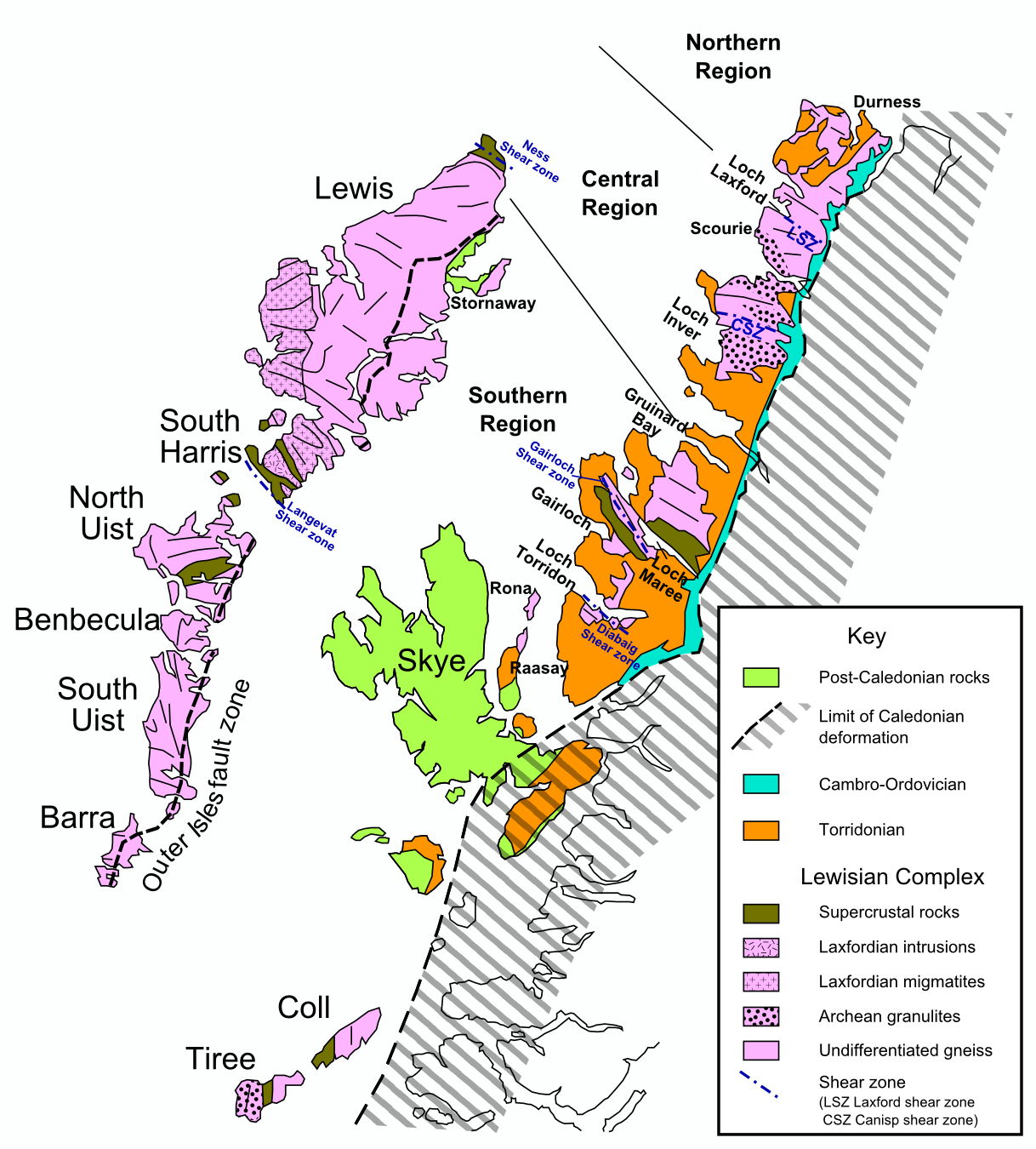
Hebridean Terrane

The Hebridean Terrane is one of the terranes that form part of the Caledonian orogenic belt in northwest Scotland. Its boundary with the neighbouring Northern...

Skye Museum of Island Life

The Skye Museum of Island Life is a museum in Kilmuir, Skye, Scotland, which is dedicated to preserving a township of thatched cottages as they would have...

Heribusta

Heribusta (Scottish Gaelic: Hearabusta), (also Herbusta), is a small crofting township on the Trotternish peninsula of the Isle of Skye in the Highlands...

Hungladder

Hungladder is a small village on north west coast of the Trotternish peninsula in Kilmuir, Portree, Isle of Skye, Scottish Highlands and is in the Scottish...

Kilmuir, Skye

Kilmuir (Scottish Gaelic: Cille Mhoire) is a village on the west coast of the Trotternish peninsula in the north of the island of Skye. It is in the Scottish...

Flodigarry

Flodigarry (Scottish Gaelic: Flòdaigearraidh) is a scattered settlement on the north east side of the Trotternish peninsula on the island of Skye, and...

Nearby Amenities

Located within 500m of 57.680582,-6.3339606
Passing Place
Lat/Long: 57.6830363/-6.3343812
Passing Place
Lat/Long: 57.6827186/-6.3364126
Bus Stop
Duntulm Hotel
Bench: no
Bin: no
Bus: yes
Lit: no
Naptan AtcoCode: 6700712628
Naptan Bearing: SW
Naptan CommonName: Duntulm Hotel
Naptan Indicator: at Hotel Road End
Naptan Landmark: Hotel
Naptan NaptanCode: 45327967
Naptan Street: A855
Naptan Verified: no
Public Transport: platform
Shelter: no
Source: naptan_import
Tactile Paving: no
Lat/Long: 57.6823761/-6.3390635
Duntulm Castle Hotel
Addr City: South Duntulm
Addr Postcode: IV51 9UF
Disused Tourism: hotel
Website: http://www.duntulm.com/
Lat/Long: 57.6831893/-6.3403528
Turning Circle
Lat/Long: 57.6810928/-6.3402238
Passing Place
Lat/Long: 57.6829141/-6.3313764
Duntulm
Place: hamlet
Wikidata: Q2382330
Wikipedia: en:Duntulm
Lat/Long: 57.6820256/-6.3409695
Material: wood
Power: pole
Lat/Long: 57.6826676/-6.3391194
Material: wood
Power: pole
Lat/Long: 57.6822517/-6.3394251
Material: wood
Power: pole
Lat/Long: 57.6816595/-6.3396424
Material: wood
Power: pole
Lat/Long: 57.6809268/-6.3398704
Material: wood
Power: pole
Lat/Long: 57.6803689/-6.3400877
Material: wood
Power: pole
Lat/Long: 57.679758/-6.3396344
Power: pole
Lat/Long: 57.6791514/-6.3391891
Power: pole
Lat/Long: 57.6788302/-6.3389665
Power: pole
Lat/Long: 57.6782895/-6.3385776
Power: pole
Lat/Long: 57.6776485/-6.3380894
Power: pole
Lat/Long: 57.6770261/-6.3376978
Communication Mobile Phone: yes
Man Made: antenna
Operator: O2
Lat/Long: 57.6802126/-6.3363648
Power: pole
Lat/Long: 57.6801572/-6.3256372
Power: pole
Lat/Long: 57.6798322/-6.3262048
Power: pole
Lat/Long: 57.67935/-6.3270906
Power: pole
Lat/Long: 57.6790121/-6.3276622
Power: pole
Lat/Long: 57.6785708/-6.3284111
Power: pole
Lat/Long: 57.6781855/-6.3291075
Power: pole
Lat/Long: 57.6777572/-6.3298282
Power: pole
Lat/Long: 57.677346/-6.3305569
Power: pole
Lat/Long: 57.677303/-6.3313017
Power: pole
Lat/Long: 57.6772707/-6.3322679
Power: pole
Lat/Long: 57.677219/-6.3336448
Power: pole
Lat/Long: 57.677163/-6.3350579
Power: pole
Lat/Long: 57.6771189/-6.3363804
Power: pole
Lat/Long: 57.6821008/-6.330581
Power: pole
Lat/Long: 57.6817274/-6.3300335
Power: pole
Lat/Long: 57.6813346/-6.3289526
Power: pole
Lat/Long: 57.6809235/-6.3277971
Power: pole
Lat/Long: 57.6805371/-6.3267182
Cnoc Roll
Natural: peak
Peak: hill
Lat/Long: 57.6806228/-6.3336987
Passing Place
Lat/Long: 57.6833007/-6.3295412
Post Box
Collection Times: Mo-Sa 08:30
Operator: Royal Mail
Operator Wikidata: Q638098
Post Box Mounting: pier
Post Box Type: lamp
Ref: IV51 73
Royal Cypher: scottish_crown
Source: survey
Lat/Long: 57.6813677/-6.3402047
The data included in this document is from www.openstreetmap.org. The data is made available under ODbL.

Have you been to Cnoc Roll?

Leave your review of Cnoc Roll below (or comments, questions and feedback).