Àird Dubh

Hill, Mountain in Argyllshire

Scotland

Àird Dubh

Eilean Chormaic, Port Uisken
Eilean Chormaic, Port Uisken Credit: Steven Brown

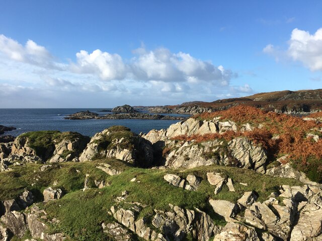
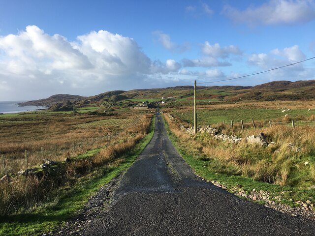
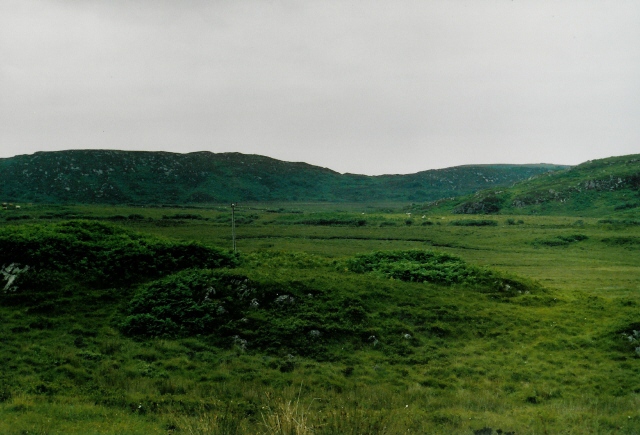
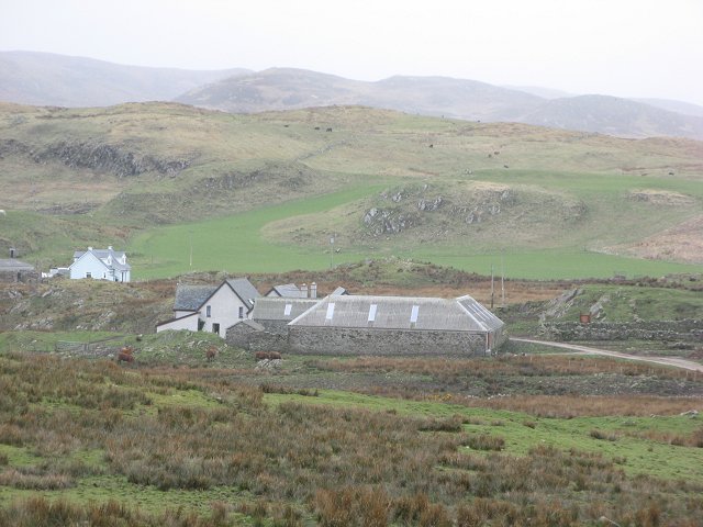
Àird Dubh is a prominent hill located in Argyllshire, Scotland. It is part of the stunning landscape of the Scottish Highlands, known for its rugged beauty and breathtaking vistas. Rising to an elevation of approximately 1,200 feet (366 meters), Àird Dubh offers a challenging but rewarding climb for outdoor enthusiasts and hikers.

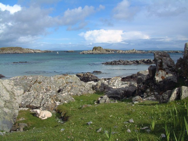
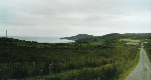
The hill is characterized by its steep slopes and rocky terrain, which add to its allure and make it a popular destination for climbers and mountaineers seeking a thrilling adventure. The ascent can be demanding, requiring a certain level of fitness and experience, but the panoramic views from the summit make it all worthwhile. On a clear day, visitors can admire the surrounding countryside, with its rolling hills, sparkling lochs, and distant mountains.

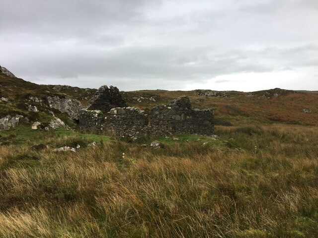
The hill is also home to a diverse range of flora and fauna. As hikers make their way up, they may encounter heather, wildflowers, and various species of birds, such as golden eagles and peregrine falcons. Additionally, the area surrounding Àird Dubh is known for its rich history and cultural heritage, with ancient ruins and archaeological sites scattered throughout the landscape.

Whether it is for the challenging climb, the stunning views, or the opportunity to immerse oneself in Scotland's natural wonders, Àird Dubh is a must-visit destination for outdoor enthusiasts and nature lovers alike.

If you have any feedback on the listing, please let us know in the comments section below.
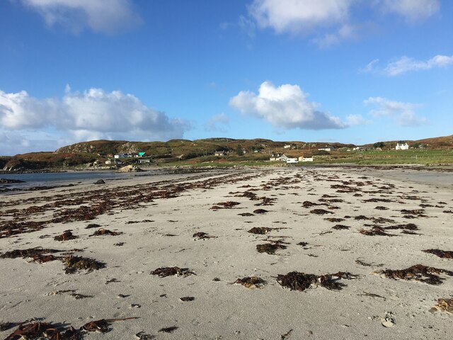
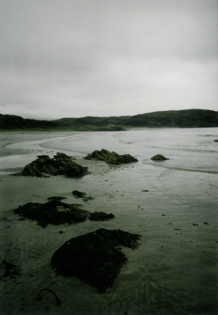
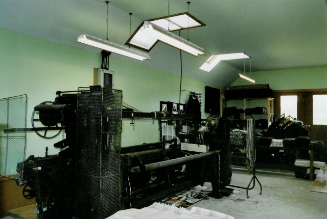
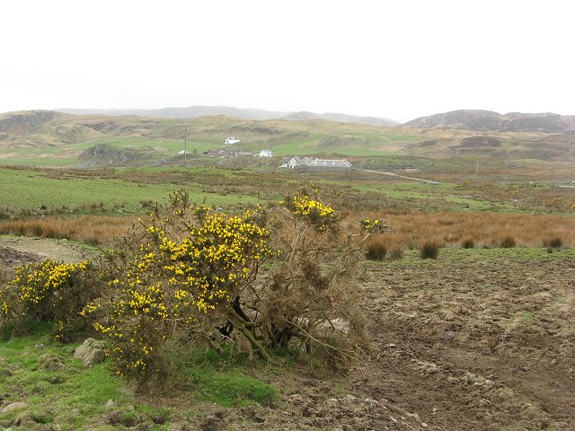
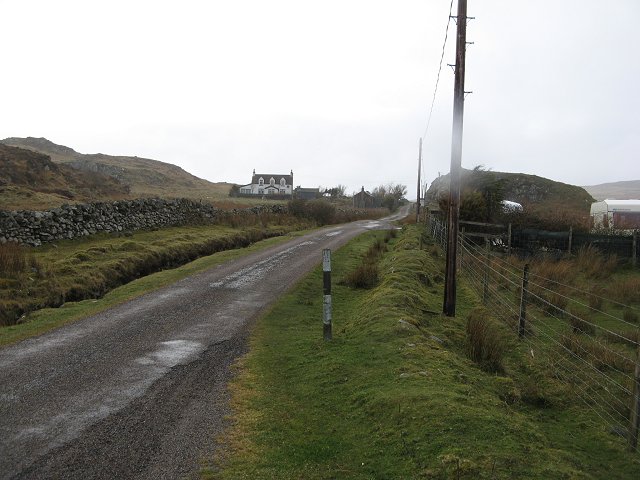
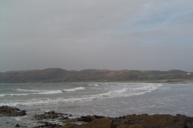
Àird Dubh Images

Images are sourced within 2km of 56.287415/-6.2302515 or Grid Reference NM3818. Thanks to Geograph Open Source API. All images are credited.

Eilean Chormaic, Port Uisken
Beach at Uisken
Beach at Uisken
Near the road end at Uisken
Phone box and postbox near Uisken
Road to Ardachy
Road to Ardachy
Ruin beside the road to Uisken
Port Uisken, Mull Coastline at Uisken on the south side of the Ross of Mull
Port Uisken, Mull
Coastline at Uisken on the south side of the Ross of Mull
Road to Ardalanish A dull day for going to one of the finest beaches in Mull...  The houses down the road are the small village of Ardalanish, the beach is in the cove on the left, the headland beyond is Rubh' Ardalanish.
Road to Ardalanish
A dull day for going to one of the finest beaches in Mull... The houses down the road are the small village of Ardalanish, the beach is in the cove on the left, the headland beyond is Rubh' Ardalanish.
Grazing land near Uisken Poor quality grazing is standard on Mull - no different here on the south coast. Looking northeast (inland) from the road to Uisken.
Grazing land near Uisken
Poor quality grazing is standard on Mull - no different here on the south coast. Looking northeast (inland) from the road to Uisken.
Ardalanish Bay A beautiful beach, even on a grey day!  Looking east towards Aird Dubh
Ardalanish Bay
A beautiful beach, even on a grey day! Looking east towards Aird Dubh
Hebridean woolcraft Isle of Mull weavers are based on a farm at Ardalanish. Well worth a visit (though our Hebridean teddy - made from local brown Hebridean wool - still smells a bit of machine oil !)
Hebridean woolcraft
Isle of Mull weavers are based on a farm at Ardalanish. Well worth a visit (though our Hebridean teddy - made from local brown Hebridean wool - still smells a bit of machine oil !)
Ardachy Farm with damp grazing.
Ardachy
Farm with damp grazing.
Ardachy Cattle grazing on wetland near Ardachy.
Ardachy
Cattle grazing on wetland near Ardachy.
Phone box, Uisken
Phone box, Uisken
Uisken Simple campsite on the beach.
Uisken
Simple campsite on the beach.
Ardchiavaig Coastal property amongst the usual wet grassland.
Ardchiavaig
Coastal property amongst the usual wet grassland.
A dreich day in Uisken Fine drizzle during an otherwise warm April.
A dreich day in Uisken
Fine drizzle during an otherwise warm April.
Ardalanish Bay
Ardalanish Bay
Show me another place!

Àird Dubh is located at Grid Ref: NM3818 (Lat: 56.287415, Lng: -6.2302515)

Unitary Authority: Argyll and Bute

Police Authority: Argyll and West Dunbartonshire

What 3 Words

///stylist.leader.jugs. Near Fionnphort, Argyll & Bute

Related Wikis

Uisken

Uisken (Scottish Gaelic: Uisgean, meaning "water-bay") is a settlement on a sandy bay on the Ross of Mull in the south of the Isle of Mull, on the west...

Ardalanish

Ardalanish (Scottish Gaelic: Àird Dealanais) is a village on the Isle of Mull in Argyll and Bute, Scotland. It is now an organic farm and weaving mill...

Knocknafenaig

Knocknafenaig (Scottish Gaelic: Cnoc na Fennaig) is a ruined township on the Isle of Mull, Scotland. Located in the south-western portion of the island...

Bunessan

Bunessan (Scottish Gaelic: Bun Easain) is a small village on the Ross of Mull in the south-west of the Isle of Mull, off the west coast of Scotland. The...

Suidhe

Suidhe (Scottish Gaelic: Suidhe) is a ruined township located on the southwestern peninsula of the Isle of Mull, Scotland. It lies just over 1 km to the...

Ross of Mull

The Ross of Mull (Scottish Gaelic: An Ros Mhuileach) is the largest peninsula of the Isle of Mull, about 28 kilometres (17 mi) long, and makes up the south...

Ardtun

Ardtun (Scottish Gaelic: Àird Tunna) is a settlement on the Isle of Mull, in Argyll and Bute, Scotland. Ardtun is within the parish of Kilfinichen and...

Knockan

Knockan (Scottish Gaelic: An Cnocan) is a township of six crofts in the community of Ardtun, in the south of the Isle of Mull off the west coast of Scotland...

Nearby Amenities

Located within 500m of 56.287415,-6.2302515
Created By: dmgroom_coastlines
Source: PGS
Lat/Long: 56.28583/-6.22326
Created By: dmgroom_coastlines
Source: PGS
Lat/Long: 56.2857/-6.2235
Created By: dmgroom_coastlines
Source: PGS
Lat/Long: 56.28363/-6.22756
Created By: dmgroom_coastlines
Source: PGS
Lat/Long: 56.28375/-6.22778
Created By: dmgroom_coastlines
Source: PGS
Lat/Long: 56.28388/-6.228
Created By: dmgroom_coastlines
Source: PGS
Lat/Long: 56.28402/-6.22822
Created By: dmgroom_coastlines
Source: PGS
Lat/Long: 56.28427/-6.22821
Source: PGS
Lat/Long: 56.2857626/-6.2262388
Source: PGS
Lat/Long: 56.2858907/-6.2268129
Source: PGS
Lat/Long: 56.2850045/-6.2279374
Created By: dmgroom_coastlines
Source: PGS
Lat/Long: 56.28456/-6.22957
Created By: dmgroom_coastlines
Source: PGS
Lat/Long: 56.28444/-6.22981
Created By: dmgroom_coastlines
Source: PGS
Lat/Long: 56.28445/-6.23027
Created By: dmgroom_coastlines
Source: PGS
Lat/Long: 56.28473/-6.23163
Created By: dmgroom_coastlines
Source: PGS
Lat/Long: 56.28474/-6.23209
Source: PGS
Lat/Long: 56.2850192/-6.2329014
Source: PGS
Lat/Long: 56.2857497/-6.2339847
Source: PGS
Lat/Long: 56.2862761/-6.2334052
Source: PGS
Lat/Long: 56.2864532/-6.2336174
Ardchiavaig
Place: hamlet
Lat/Long: 56.2903833/-6.2290573
Source: PGS
Lat/Long: 56.2859712/-6.2331792
The data included in this document is from www.openstreetmap.org. The data is made available under ODbL.

Have you been to Àird Dubh?

Leave your review of Àird Dubh below (or comments, questions and feedback).