Cnoc an Àrd-Rìgh

Hill, Mountain in Argyllshire

Scotland

Cnoc an Àrd-Rìgh

Isle of Colonsay Ferry Terminal A view of the Isle of Colonsay ferry terminal at Scalasaig. Taken from the Calmac ferry MV Lord Of The Isles as it powers away from the link span and jetty.
Isle of Colonsay Ferry Terminal Credit: Mr S Mudgey

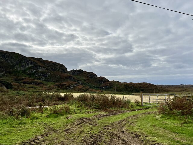
Cnoc an Àrd-Rìgh is a prominent hill located in Argyllshire, Scotland. It stands at an impressive height of 319 meters (1,046 feet) above sea level, offering stunning panoramic views of the surrounding countryside and nearby Loch Awe. The hill is situated near the small village of Dalavich and is a popular destination for hikers and outdoor enthusiasts.

The name Cnoc an Àrd-Rìgh translates to "Hill of the High King" in English, reflecting the hill's majestic presence and historical significance. It is believed that the hill may have been a site of ancient rituals or ceremonies, adding to its mystique and appeal.

The terrain of Cnoc an Àrd-Rìgh is rugged and challenging, with steep slopes and rocky outcrops that require a moderate level of fitness and hiking experience to navigate. However, the effort is well worth it for the breathtaking views and sense of accomplishment that come with reaching the summit.

Overall, Cnoc an Àrd-Rìgh is a must-visit destination for nature lovers and outdoor adventurers looking to explore the beautiful landscapes of Argyllshire and experience the rich history and natural beauty of Scotland.

If you have any feedback on the listing, please let us know in the comments section below.

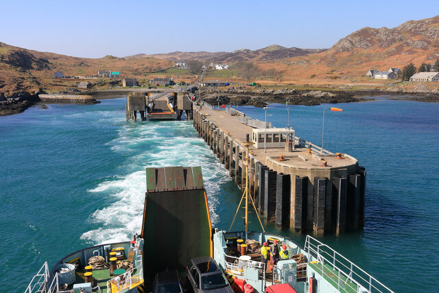
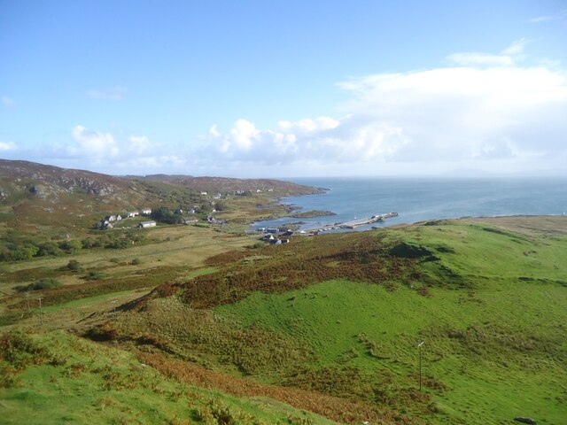
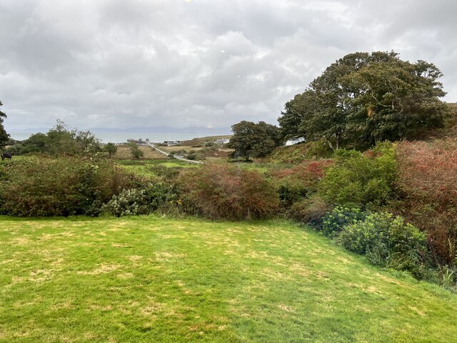
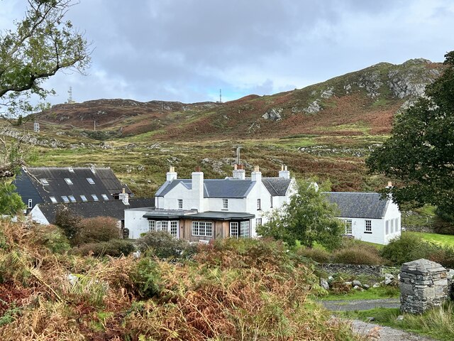
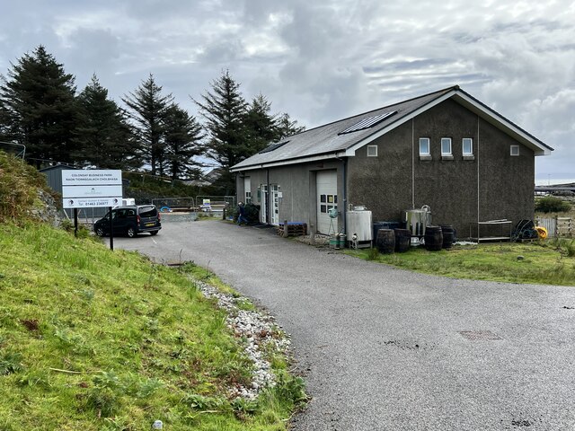
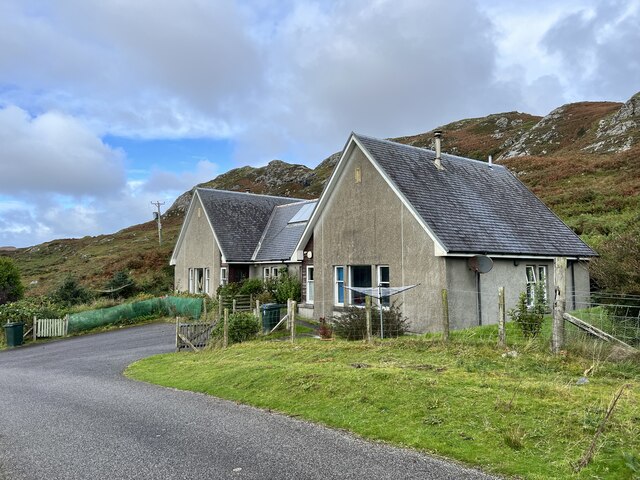
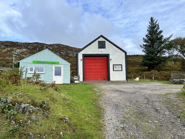
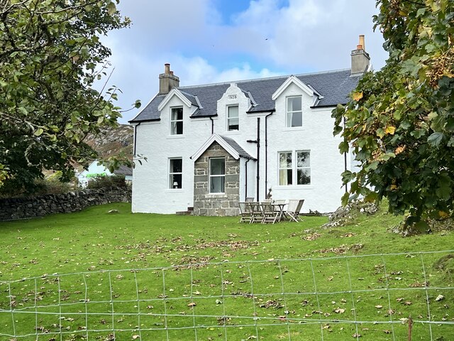
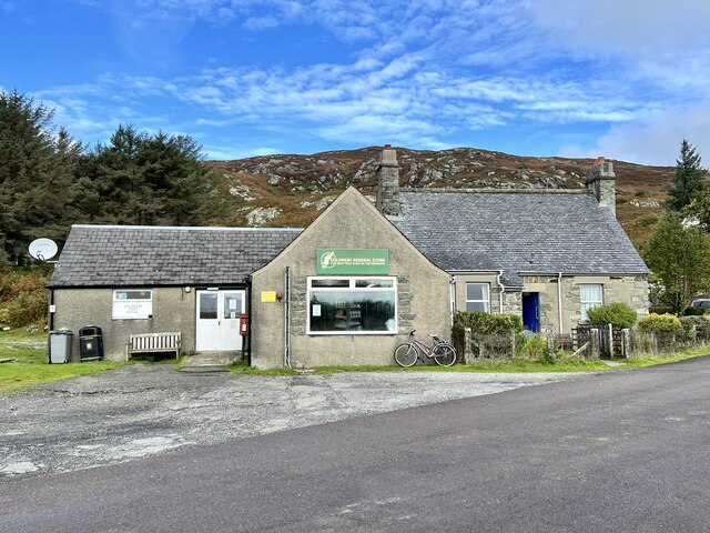
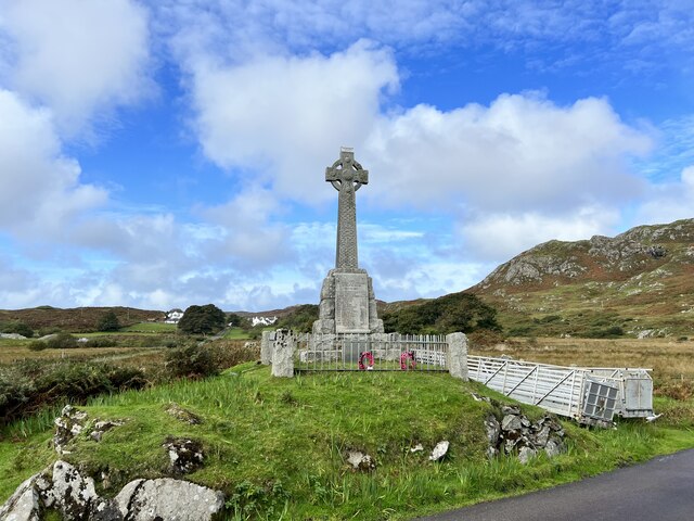
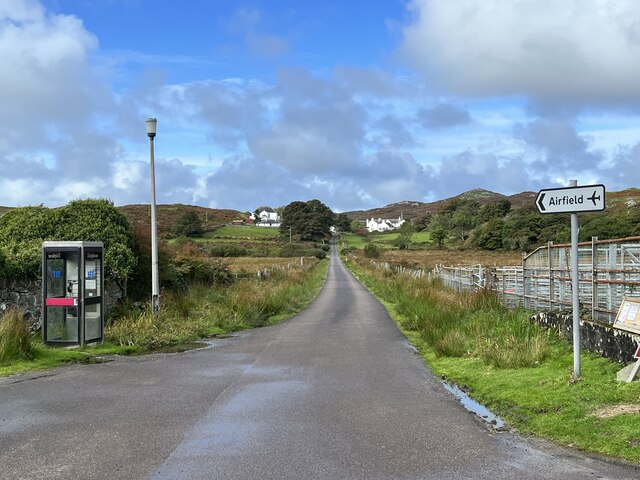
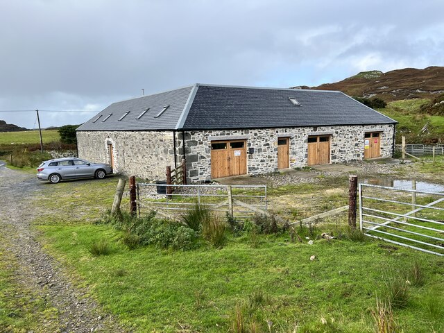
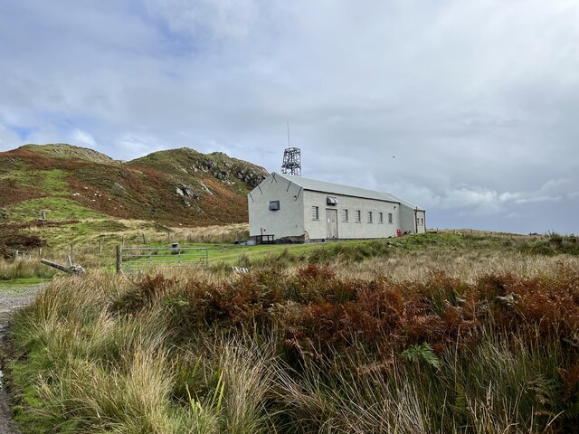
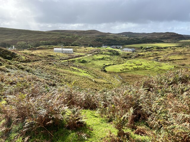
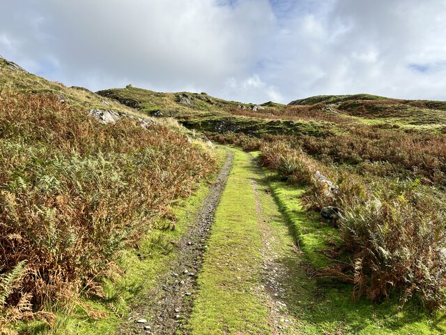
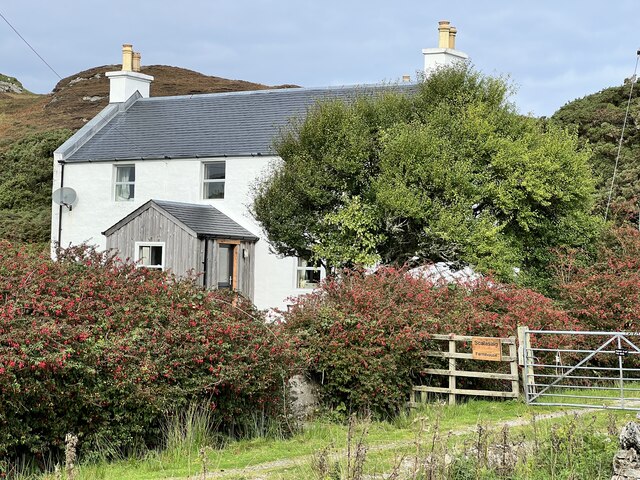
Cnoc an Àrd-Rìgh Images

Images are sourced within 2km of 56.062117/-6.2127714 or Grid Reference NR3793. Thanks to Geograph Open Source API. All images are credited.

Isle of Colonsay Ferry Terminal A view of the Isle of Colonsay ferry terminal at Scalasaig. Taken from the Calmac ferry MV Lord Of The Isles as it powers away from the link span and jetty.
Isle of Colonsay Ferry Terminal
A view of the Isle of Colonsay ferry terminal at Scalasaig. Taken from the Calmac ferry MV Lord Of The Isles as it powers away from the link span and jetty.
Cnoc na Faire Mor, Colonsay A fine viewpoint overlooking the village of Scalasaig and the Colonsay harbour.

Many maps (including perhaps some of those shown on this site) indicate a golf course on land to the right of this photo. It seems rather unlikely! Colonsay Golf Club is on the other side of the island, about 4km west of here and close to the Landing Strip.
Cnoc na Faire Mor, Colonsay
A fine viewpoint overlooking the village of Scalasaig and the Colonsay harbour. Many maps (including perhaps some of those shown on this site) indicate a golf course on land to the right of this photo. It seems rather unlikely! Colonsay Golf Club is on the other side of the island, about 4km west of here and close to the Landing Strip.
Garden of the Colonsay Hotel Looking towards Scalasaig Harbour.
Garden of the Colonsay Hotel
Looking towards Scalasaig Harbour.
Colonsay Hotel Category B listed. Listing reference LB4911.
Colonsay Hotel
Category B listed. Listing reference LB4911.
Colonsay Business Park In Scalasaig.
Colonsay Business Park
In Scalasaig.
Houses in Scalasaig On Colonsay.
Houses in Scalasaig
On Colonsay.
Colonsay Fire Station In Scalasaig.
Colonsay Fire Station
In Scalasaig.
Robaroran in Scalasaig Built in 1909.
Robaroran in Scalasaig
Built in 1909.
Colonsay General Store The best wee shop in the Hebrides.
Colonsay General Store
The best wee shop in the Hebrides.
War Memorial in Scalasaig On Colonsay.
War Memorial in Scalasaig
On Colonsay.
B8086 road In Scalasaig, Colonsay.
B8086 road
In Scalasaig, Colonsay.
Colonsay Smokery Housed in the Scalasaig Farm Steading.
Colonsay Smokery
Housed in the Scalasaig Farm Steading.
Colonsay Telephone Exchange Above Scalasaig.
Colonsay Telephone Exchange
Above Scalasaig.
Towards Scalasaig Farm From the old road between Scalasaig and Kiloran.
Towards Scalasaig Farm
From the old road between Scalasaig and Kiloran.
Old road between Scalasaig and Kiloran Just north of Scalasaig.
Old road between Scalasaig and Kiloran
Just north of Scalasaig.
Old road between Scalasaig and Kiloran Looking north.
Old road between Scalasaig and Kiloran
Looking north.
Scalasaig Farm House Category B listed. Listing reference LB4913
Scalasaig Farm House
Category B listed. Listing reference LB4913
Fields in the south of Colonsay From the B8086 road.
Fields in the south of Colonsay
From the B8086 road.
Show me another place!

Cnoc an Àrd-Rìgh is located at Grid Ref: NR3793 (Lat: 56.062117, Lng: -6.2127714)

Unitary Authority: Argyll and Bute

Police Authority: Argyll and West Dunbartonshire

What 3 Words

///awoke.country.apprehend. Near Scalasaig, Argyll & Bute

Related Wikis

Colonsay Group

The Colonsay Group is an estimated 5,000 m thick sequence of mildly metamorphosed Neoproterozoic sedimentary rocks that outcrop on the islands of Colonsay...

Colonsay

Colonsay (; Scottish Gaelic: Colbhasa; Scots: Colonsay) is an island in the Inner Hebrides of Scotland, located north of Islay and south of Mull. The ancestral...

Dùn Eibhinn

Dùn Eibhinn, also known as Dun Evan, Dun Eivan or Fort of Eyvind, is a hillfort located on the Inner Hebridean island of Colonsay, Scotland. The site is...

Colonsay Parish Church, Scalasaig

Colonsay Parish Church is a Category B listed Church of Scotland parish church in Scalasaig, Colonsay. == History == The church was built in 1801–04 at...

Nearby Amenities

Located within 500m of 56.062117,-6.2127714
Passing Place
Passing Place: left
Lat/Long: 56.0613828/-6.2200396
Passing Place
Passing Place: left
Lat/Long: 56.0616796/-6.2180364
Passing Place
Passing Place: left
Lat/Long: 56.0633191/-6.2133153
Power: pole
Lat/Long: 56.0596962/-6.208993
Power: pole
Lat/Long: 56.0609606/-6.2078937
Power: pole
Lat/Long: 56.0604368/-6.2178454
Power: pole
Lat/Long: 56.060586/-6.2159101
Power: pole
Lat/Long: 56.0606202/-6.2143979
Power: pole
Lat/Long: 56.0606993/-6.2113068
Generator Method: photovoltaic
Generator Output Electricity: yes
Generator Source: solar
Generator Type: solar_photovoltaic_panel
Location: roof
Power: generator
Lat/Long: 56.0600563/-6.207553
Power: pole
Lat/Long: 56.0586072/-6.2079273
Passing Place
Passing Place: right
Lat/Long: 56.0649133/-6.209323
The data included in this document is from www.openstreetmap.org. The data is made available under ODbL.

Have you been to Cnoc an Àrd-Rìgh?

Leave your review of Cnoc an Àrd-Rìgh below (or comments, questions and feedback).