Cnoc na Mòine-brathaidh

Hill, Mountain in Argyllshire

Scotland

Cnoc na Mòine-brathaidh

Coil A Ghuail Trigpoint Flush Bracket S9007
Coil A Ghuail Trigpoint Flush Bracket S9007 Credit: thejackrustles

Cnoc na Mòine-brathaidh is a hill located in Argyllshire, Scotland. It is situated in a remote and rugged area, offering stunning views of the surrounding landscape. The hill is known for its distinctive shape and is a popular destination for hikers and outdoor enthusiasts.

Cnoc na Mòine-brathaidh stands at a height of approximately 549 meters (1,801 feet) above sea level, making it a challenging but rewarding climb for those who reach the summit. The terrain is rough and rocky, with steep inclines and uneven ground, adding to the sense of adventure for those who choose to tackle the hill.

The hill is surrounded by a diverse range of flora and fauna, including heather, grasses, and wildflowers, as well as a variety of bird species and other wildlife. The area is also rich in history, with ancient ruins and archaeological sites scattered throughout the landscape.

Overall, Cnoc na Mòine-brathaidh offers a unique and memorable outdoor experience for visitors looking to explore the natural beauty of Argyllshire.

If you have any feedback on the listing, please let us know in the comments section below.

Cnoc na Mòine-brathaidh Images

Images are sourced within 2km of 55.787902/-6.1831085 or Grid Reference NR3762. Thanks to Geograph Open Source API. All images are credited.

Coil A Ghuail Trigpoint Flush Bracket S9007
Cachlaidh Mhòr Bog in the centre of Islay.
Cachlaidh Mhòr
Bog in the centre of Islay.
Woodland near Storakaig Beinn Bharra-dail on the skyline.
Woodland near Storakaig
Beinn Bharra-dail on the skyline.
Moorland Between Cluanach and Ballygrant Looking towards Cnoc nan Uan and Beinn Bharra-dail on the high ground to the south of Ballygrant.
Moorland Between Cluanach and Ballygrant
Looking towards Cnoc nan Uan and Beinn Bharra-dail on the high ground to the south of Ballygrant.
Moorland in the heart of Islay Looking across to an abandoned steading in the next grid square.
Moorland in the heart of Islay
Looking across to an abandoned steading in the next grid square.
Meadow with sloping moorland
Trigpoint, Cnoc Donn, Islay
Rockface near Neinn Bharra-dail
Outcrop on Beinn Bharra-dail
Woodland under Cnoc Oshamail
Druimnaskiach ruin, near Esknish, Islay
Derelict Tiervaagain Farm, Islay
Tiervaagain Cattle, Islay
Daill, Islay The big house situated south of Daill Farm.
Daill, Islay
The big house situated south of Daill Farm.
Daill Farm, Bridgend, Islay
Ford near Daill, Islay
Remains of Cill Bhraenan, Islay Apparently there are no remains of the ancient burial ground left, the present ruins being those of a much more recent township. The site originally commemorated St. Brendan, the voyager and dates from around 1494. See <span class="nowrap"><a title="http://www.scotlandsplaces.gov.uk/search_item/index.php?service=RCAHMS&id=37742&refer=L3NlYXJjaC9pbmRleC5waHA%2FYWN0aW9uPWRvX3NlYXJjaCZwX3R5cGU9ZnJlZV90ZXh0X3NlYXJjaCZwX25hbWU9Y2lsbCtiaHJhZW5hbg%3D%3D" rel="nofollow ugc noopener" href="http://www.scotlandsplaces.gov.uk/search_item/index.php?service=RCAHMS&id=37742&refer=L3NlYXJjaC9pbmRleC5waHA%2FYWN0aW9uPWRvX3NlYXJjaCZwX3R5cGU9ZnJlZV90ZXh0X3NlYXJjaCZwX25hbWU9Y2lsbCtiaHJhZW5hbg%3D%3D">Link</a><img style="margin-left:2px;" alt="External link" title="External link - shift click to open in new window" src="https://s1.geograph.org.uk/img/external.png" width="10" height="10"/></span> and <a href="https://www.geograph.org.uk/photo/2297460">NR3762 : Ruins of township at Cill Bhraenan, Islay</a>
Remains of Cill Bhraenan, Islay
Apparently there are no remains of the ancient burial ground left, the present ruins being those of a much more recent township. The site originally commemorated St. Brendan, the voyager and dates from around 1494. See LinkExternal link and NR3762 : Ruins of township at Cill Bhraenan, Islay
Remains of a wall near Daill Farm, Islay The area has many remains of an erstwhile township, including remnants of grass-covered walls, such as this one.
Remains of a wall near Daill Farm, Islay
The area has many remains of an erstwhile township, including remnants of grass-covered walls, such as this one.
Show me another place!

Cnoc na Mòine-brathaidh is located at Grid Ref: NR3762 (Lat: 55.787902, Lng: -6.1831085)

Unitary Authority: Argyll and Bute

Police Authority: Argyll and West Dunbartonshire

What 3 Words

///following.rapid.flying. Near Ballygrant, Argyll & Bute

Related Wikis

Dun Bhruichlinn

Dun Bhruichlinn is an Iron Age fort south of Esknish, Islay, Scotland. The fort, or dun is circular with an internal diameter of 16 metres and the walls...

Dun Guaidhre

Dun Guaidhre, also known as Dùn Ghùaidhre, is an Iron Age fort southwest of Kilmeny, Islay, Scotland. It is protected as a scheduled monument.Local tradition...
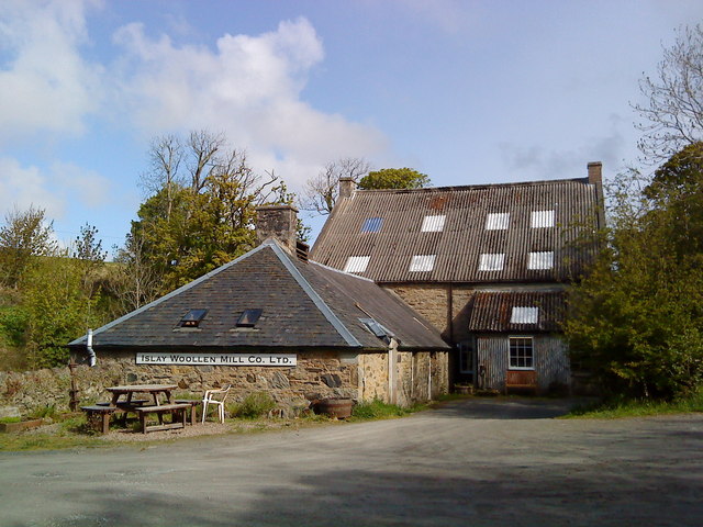
Islay Woollen Mill

Islay Woollen Mill is a Category A listed mill building near the Scottish village of Bridgend, Islay, Argyll and Bute. == History and architecture == The...

Dun Nosebridge

Dun Nosebridge is an Iron Age fort southeast of Bridgend, Islay, Scotland. The fort is on the right bank of the River Laggan.The name's origin is probably...

Have you been to Cnoc na Mòine-brathaidh?

Leave your review of Cnoc na Mòine-brathaidh below (or comments, questions and feedback).