Sliabh Riabhach

Downs, Moorland in Argyllshire

Scotland

Sliabh Riabhach

Cnoc na Faire Mor, Colonsay A fine viewpoint overlooking the village of Scalasaig and the Colonsay harbour.

Many maps (including perhaps some of those shown on this site) indicate a golf course on land to the right of this photo. It seems rather unlikely! Colonsay Golf Club is on the other side of the island, about 4km west of here and close to the Landing Strip.
Cnoc na Faire Mor, Colonsay Credit: Michael Earnshaw

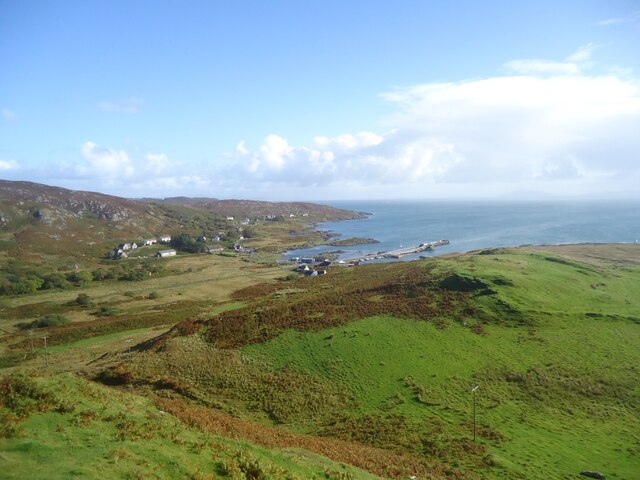
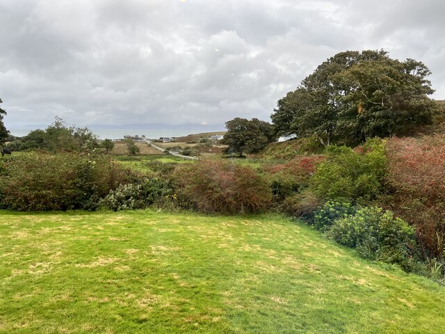
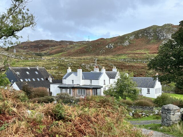
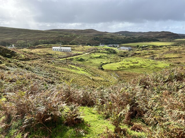
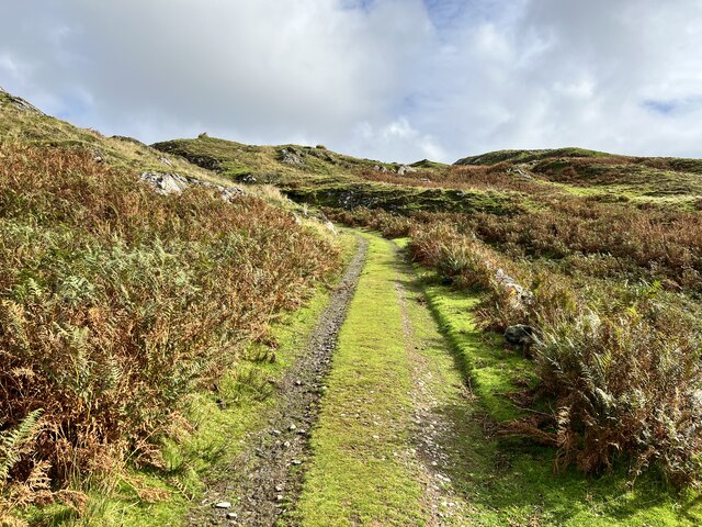
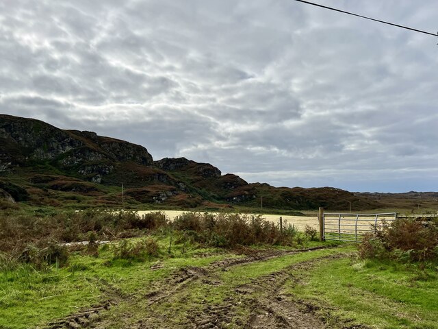
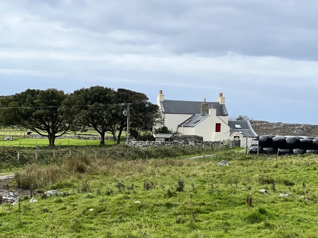
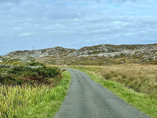
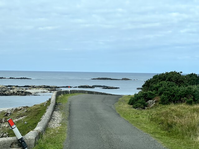
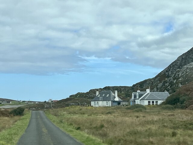
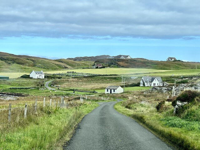
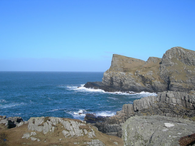
Sliabh Riabhach, located in Argyllshire, Scotland, is a rugged and remote area known for its vast expanse of downs and moorland. The landscape is characterized by rolling hills, rocky outcrops, and expansive stretches of heather and grasses.

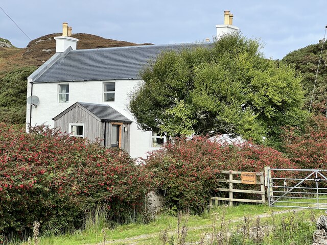
The area is sparsely populated, with only a few scattered villages and farms dotting the countryside. It is a popular destination for hikers and outdoor enthusiasts looking to explore the untamed beauty of the Scottish Highlands.

The weather in Sliabh Riabhach can be unpredictable, with frequent rain showers and strong winds sweeping across the moorland. The terrain can be challenging to navigate, with uneven footing and steep slopes in some areas.

Despite its ruggedness, Sliabh Riabhach is home to a diverse range of wildlife, including red deer, grouse, and various bird species. The area is also rich in archaeological sites, with ancient stone circles and burial mounds scattered throughout the landscape.

Overall, Sliabh Riabhach offers visitors a glimpse of the wild and untamed beauty of the Scottish countryside, making it a popular destination for those seeking a remote and peaceful retreat.

If you have any feedback on the listing, please let us know in the comments section below.

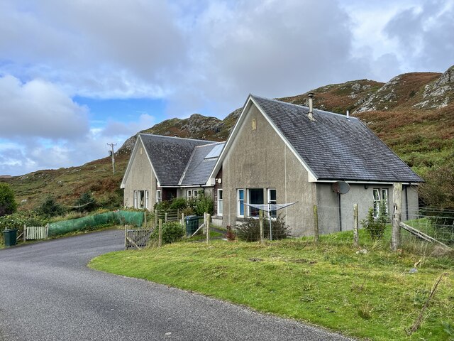
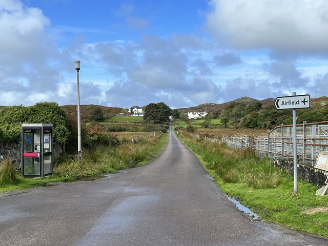
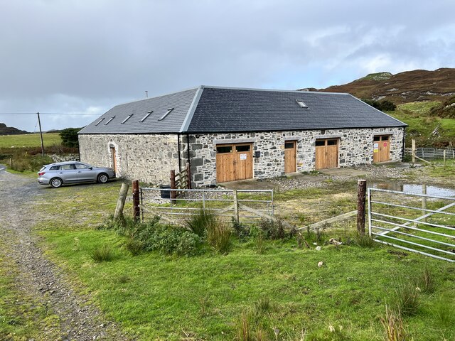
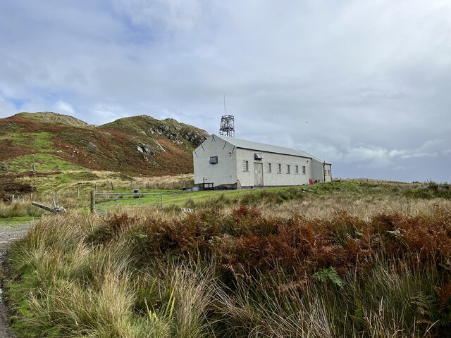
Sliabh Riabhach Images

Images are sourced within 2km of 56.064583/-6.2200823 or Grid Reference NR3793. Thanks to Geograph Open Source API. All images are credited.

Cnoc na Faire Mor, Colonsay A fine viewpoint overlooking the village of Scalasaig and the Colonsay harbour.

Many maps (including perhaps some of those shown on this site) indicate a golf course on land to the right of this photo. It seems rather unlikely! Colonsay Golf Club is on the other side of the island, about 4km west of here and close to the Landing Strip.
Cnoc na Faire Mor, Colonsay
A fine viewpoint overlooking the village of Scalasaig and the Colonsay harbour. Many maps (including perhaps some of those shown on this site) indicate a golf course on land to the right of this photo. It seems rather unlikely! Colonsay Golf Club is on the other side of the island, about 4km west of here and close to the Landing Strip.
Garden of the Colonsay Hotel Looking towards Scalasaig Harbour.
Garden of the Colonsay Hotel
Looking towards Scalasaig Harbour.
Colonsay Hotel Category B listed. Listing reference LB4911.
Colonsay Hotel
Category B listed. Listing reference LB4911.
Colonsay Business Park In Scalasaig.
Colonsay Business Park
In Scalasaig.
Houses in Scalasaig On Colonsay.
Houses in Scalasaig
On Colonsay.
B8086 road In Scalasaig, Colonsay.
B8086 road
In Scalasaig, Colonsay.
Colonsay Smokery Housed in the Scalasaig Farm Steading.
Colonsay Smokery
Housed in the Scalasaig Farm Steading.
Colonsay Telephone Exchange Above Scalasaig.
Colonsay Telephone Exchange
Above Scalasaig.
Towards Scalasaig Farm From the old road between Scalasaig and Kiloran.
Towards Scalasaig Farm
From the old road between Scalasaig and Kiloran.
Old road between Scalasaig and Kiloran Just north of Scalasaig.
Old road between Scalasaig and Kiloran
Just north of Scalasaig.
Old road between Scalasaig and Kiloran Looking north.
Old road between Scalasaig and Kiloran
Looking north.
Scalasaig Farm House Category B listed. Listing reference LB4913
Scalasaig Farm House
Category B listed. Listing reference LB4913
Fields in the south of Colonsay From the B8086 road.
Fields in the south of Colonsay
From the B8086 road.
Machrins farmhouse From the B8086 road.
Machrins farmhouse
From the B8086 road.
B8086 road In the south of Colonsay.
B8086 road
In the south of Colonsay.
B8086 road Near Maol Chlibhe.
B8086 road
Near Maol Chlibhe.
B8086 road Near Maol Chlibhe.
B8086 road
Near Maol Chlibhe.
B8086 road Approaching Lower Kilchattan.
B8086 road
Approaching Lower Kilchattan.
Show me another place!

Sliabh Riabhach is located at Grid Ref: NR3793 (Lat: 56.064583, Lng: -6.2200823)

Unitary Authority: Argyll and Bute

Police Authority: Argyll and West Dunbartonshire

What 3 Words

///gobbles.author.toggle. Near Scalasaig, Argyll & Bute

Related Wikis

Colonsay Group

The Colonsay Group is an estimated 5,000 m thick sequence of mildly metamorphosed Neoproterozoic sedimentary rocks that outcrop on the islands of Colonsay...

Colonsay

Colonsay (; Scottish Gaelic: Colbhasa; Scots: Colonsay) is an island in the Inner Hebrides of Scotland, located north of Islay and south of Mull. The ancestral...

Dùn Eibhinn

Dùn Eibhinn, also known as Dun Evan, Dun Eivan or Fort of Eyvind, is a hillfort located on the Inner Hebridean island of Colonsay, Scotland. The site is...

Dùn Meadhonach

Dùn Meadhonach (English: Middle Fort) is a hillfort located on the Inner Hebridean island of Colonsay, Scotland. The site is located at grid reference...

Nearby Amenities

Located within 500m of 56.064583,-6.2200823
Passing Place
Passing Place: left
Lat/Long: 56.0613828/-6.2200396
Passing Place
Passing Place: left
Lat/Long: 56.0616796/-6.2180364
Passing Place
Passing Place: left
Lat/Long: 56.0633191/-6.2133153
Power: pole
Lat/Long: 56.0604368/-6.2178454
The data included in this document is from www.openstreetmap.org. The data is made available under ODbL.

Have you been to Sliabh Riabhach?

Leave your review of Sliabh Riabhach below (or comments, questions and feedback).