Beinn Liathanach

Hill, Mountain in Argyllshire

Scotland

Beinn Liathanach

The A849 Near Ardfenaig.
The A849 Credit: Andrew Abbott

Beinn Liathanach is a prominent hill located in Argyllshire, Scotland. It is part of the Arrochar Alps mountain range and sits on the eastern shore of Loch Long. With an elevation of 879 meters (2,884 feet), it is considered a Corbett, a term used to describe Scottish hills between 2,500 and 3,000 feet in height.

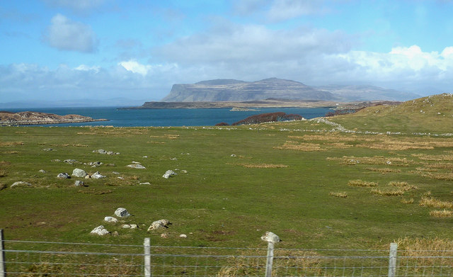
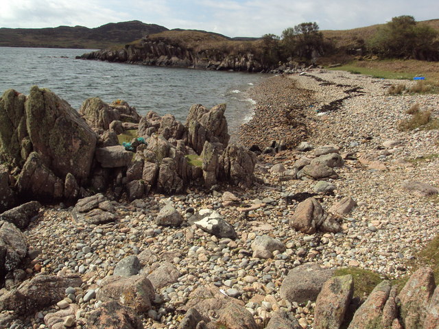
The hill is characterized by its steep slopes, rugged terrain, and rocky outcrops. It offers magnificent panoramic views of the surrounding landscape, including the nearby Loch Long and the Arrochar Alps. On clear days, one can see as far as the Firth of Clyde and the Isle of Arran in the distance.

The ascent of Beinn Liathanach can be challenging, particularly due to the steepness of the slopes and the uneven path. However, it is a popular destination for hillwalkers and mountaineers, who are rewarded with stunning vistas from the summit. The hill is often climbed in conjunction with its neighboring peaks, such as Beinn Bhuidhe and Beinn Ime, as part of longer hiking routes.

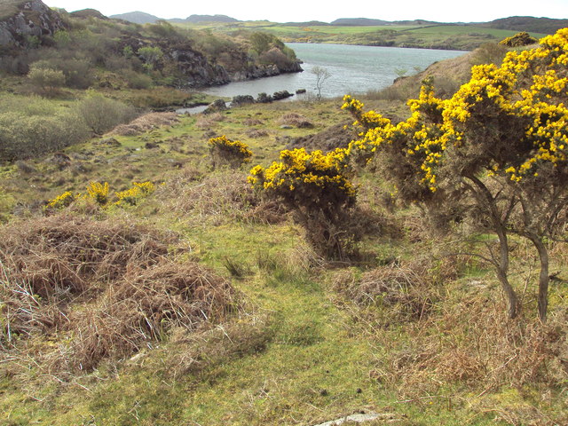
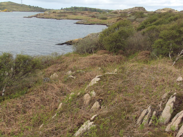
The area surrounding Beinn Liathanach is rich in flora and fauna, with heather, grasses, and mosses covering the lower slopes, while hardier plants and lichens can be found on the higher, exposed sections of the hill. It is also home to various bird species, including eagles and peregrine falcons, as well as red deer and wild goats.

Overall, Beinn Liathanach offers outdoor enthusiasts a challenging and rewarding hiking experience, coupled with breathtaking views of the Scottish Highlands.

If you have any feedback on the listing, please let us know in the comments section below.

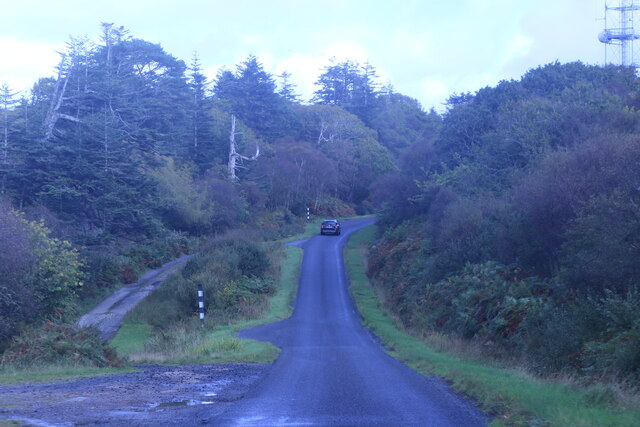
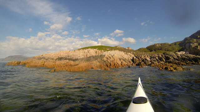
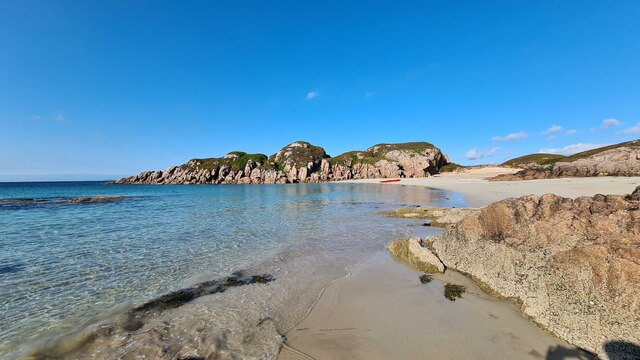
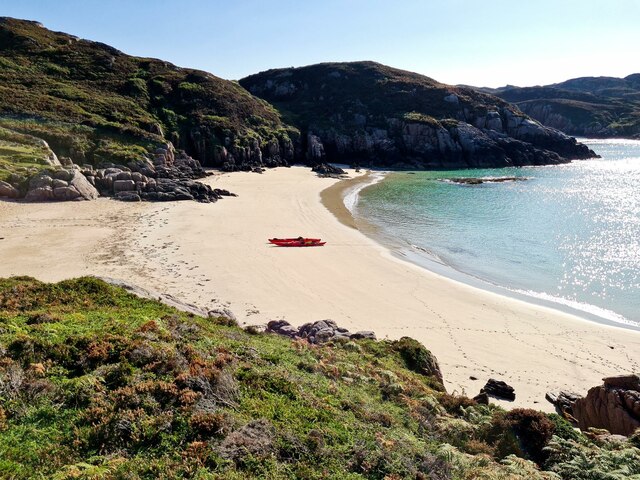
Beinn Liathanach Images

Images are sourced within 2km of 56.336566/-6.2806779 or Grid Reference NM3524. Thanks to Geograph Open Source API. All images are credited.

The A849 Near Ardfenaig.
The A849
Near Ardfenaig.
Rubh' Eilean an t-Santachaidh from the west, evening Taken during a paddle from Bunessan round to Fidden Farm on the Ross of Mull, the evening sun made for sore eyes paddling west, but provided great lighting looking back. The Ross of Mull Granite is here part of the RM1 zone of equigranular biotite monzogranite, well outside the zone with diorite xenoliths seen so well to the SW (eg. in Erraid). Reference: BGS Scotland Sheet 43S, "Ross of Mull", provisional series 1:50000, 1999. The lovely pink feldspars catch the rays of the setting sun, but the quartz crystals provide a rough time for any rock-hopping sea kayaker who gets a bit too close. There was very little swell here this evening, but further west as we approached the Sound of Iona, conditions got more exciting.
Rubh' Eilean an t-Santachaidh from the west, evening
Taken during a paddle from Bunessan round to Fidden Farm on the Ross of Mull, the evening sun made for sore eyes paddling west, but provided great lighting looking back. The Ross of Mull Granite is here part of the RM1 zone of equigranular biotite monzogranite, well outside the zone with diorite xenoliths seen so well to the SW (eg. in Erraid). Reference: BGS Scotland Sheet 43S, "Ross of Mull", provisional series 1:50000, 1999. The lovely pink feldspars catch the rays of the setting sun, but the quartz crystals provide a rough time for any rock-hopping sea kayaker who gets a bit too close. There was very little swell here this evening, but further west as we approached the Sound of Iona, conditions got more exciting.
Traigh Eilean an t-Santachaidh View along the beach called Traigh Eilean an t-Santachaidh
Traigh Eilean an t-Santachaidh
View along the beach called Traigh Eilean an t-Santachaidh
Traigh Eilean an t-Santachaidh View of Traigh Eilean an t-Santachaidh and the rocky promontory that separates it from Traigh na Margaidh
Traigh Eilean an t-Santachaidh
View of Traigh Eilean an t-Santachaidh and the rocky promontory that separates it from Traigh na Margaidh
Forecourt of Ardfenaig filling station
Ardfenaig Filling Station
A849 near Tiraghoil
A849 near Tiraghoil
Aird an Daraich Looking northeast across Loch Scridain to Bearreach. Remains of old oaks occur in the near fields [Daraich is 'oak' in the Gaelic]
Aird an Daraich
Looking northeast across Loch Scridain to Bearreach. Remains of old oaks occur in the near fields [Daraich is 'oak' in the Gaelic]
Tiraghoil and the A849 The road leads to the Iona Ferry at Fionnphort, 6km further on.
Tiraghoil and the A849
The road leads to the Iona Ferry at Fionnphort, 6km further on.
Lazy beds at Aird an Daraich By Ardness House near Bunessan on the A849 road to Fionnphort. The old traditional crofting method of cultivation, particularly of potatoes, by laying them on the surface and covering with seaweed and soil from the side [a precursor to modern raised beds; nothing is new!].
Lazy beds at Aird an Daraich
By Ardness House near Bunessan on the A849 road to Fionnphort. The old traditional crofting method of cultivation, particularly of potatoes, by laying them on the surface and covering with seaweed and soil from the side [a precursor to modern raised beds; nothing is new!].
Aird an Daraich A view across Loch na Lathaich, and the headland of Eorabus, to Bearraich.
Aird an Daraich
A view across Loch na Lathaich, and the headland of Eorabus, to Bearraich.
Eastern lobe of the beach; Traigh na Margaidh Looking over the bay to the easternmost beach - Traigh na Margaidh
Eastern lobe of the beach; Traigh na Margaidh
Looking over the bay to the easternmost beach - Traigh na Margaidh
Aird an Daraich Looking towards Loch na Lathaich and the distant mountains of Creach Bheinn and Bein na Sreine.
Aird an Daraich
Looking towards Loch na Lathaich and the distant mountains of Creach Bheinn and Bein na Sreine.
An t-Aird summit Rocks, heather & grass
An t-Aird summit
Rocks, heather & grass
Minor inlet on Loch Caol
Rocky beach on Loch na Lathaich, Isle of Mull
Beach at Rubh' nam Bùthan, Isle of Mull
Along the shoreline of Loch Caol, Isle of Mull
Show me another place!

Beinn Liathanach is located at Grid Ref: NM3524 (Lat: 56.336566, Lng: -6.2806779)

Unitary Authority: Argyll and Bute

Police Authority: Argyll and West Dunbartonshire

What 3 Words

///impeached.circles.cubed. Near Fionnphort, Argyll & Bute

Related Wikis

Camas Tuath

Camas Tuath (Scottish Gaelic: north bay) is an inlet bay on the Ross of Mull. The bay has two small tidal islands and two Quarrymans' Cottages which the...

Suidhe

Suidhe (Scottish Gaelic: Suidhe) is a ruined township located on the southwestern peninsula of the Isle of Mull, Scotland. It lies just over 1 km to the...

Ross of Mull

The Ross of Mull (Scottish Gaelic: An Ros Mhuileach) is the largest peninsula of the Isle of Mull, about 28 kilometres (17 mi) long, and makes up the south...

Bunessan

Bunessan (Scottish Gaelic: Bun Easain) is a small village on the Ross of Mull in the south-west of the Isle of Mull, off the west coast of Scotland. The...

Have you been to Beinn Liathanach?

Leave your review of Beinn Liathanach below (or comments, questions and feedback).