Beinn a' Ghuail
Hill, Mountain in Inverness-shire
Scotland
Beinn a' Ghuail

Beinn a' Ghuail is a prominent hill located in Inverness-shire, Scotland. Rising to a height of approximately 718 meters (2,356 feet), it offers stunning views of the surrounding landscape, making it a popular destination for hikers and nature enthusiasts.
Situated near the village of Beauly, Beinn a' Ghuail is part of the larger Glen Affric range. It is characterized by its rugged terrain, featuring steep slopes and rocky crags, which add to its allure. The hill is predominantly covered in heather and grass, providing a picturesque setting throughout the year.
Reaching the summit of Beinn a' Ghuail requires a moderate level of fitness and some hiking experience, as the ascent can be steep in certain sections. However, the reward is well worth the effort, as visitors are treated to breathtaking panoramic views of the surrounding mountains, glens, and lochs. On a clear day, it is possible to see as far as the Moray Firth and the Black Isle.
The hill is also known for its rich biodiversity, with a variety of plant and animal species calling it home. Rare wildflowers, such as the purple saxifrage and mountain avens, can be found growing in the crevices of the rocks. Birdwatchers may spot golden eagles and peregrine falcons soaring above, while red deer and mountain hares roam the lower slopes.
In summary, Beinn a' Ghuail is a captivating hill in Inverness-shire, Scotland, offering a challenging yet rewarding hiking experience and stunning views of the surrounding landscape. Its rugged terrain and diverse wildlife make it a must-visit destination for outdoor enthusiasts.
If you have any feedback on the listing, please let us know in the comments section below.
Beinn a' Ghuail Images
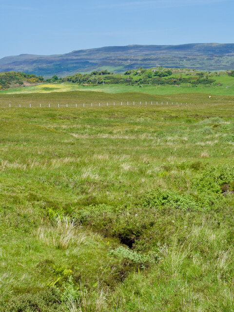
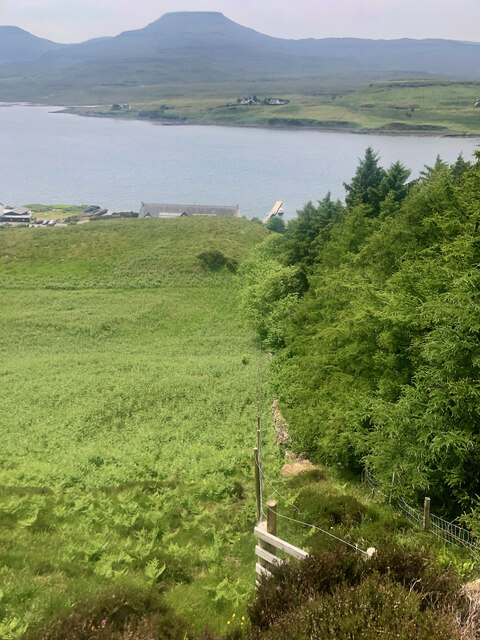
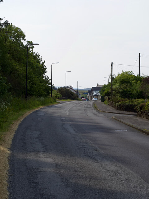
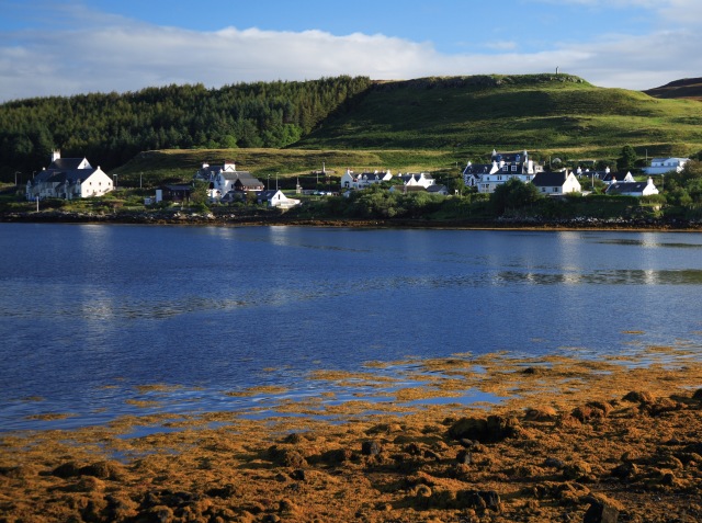
Images are sourced within 2km of 57.439474/-6.6030157 or Grid Reference NG2348. Thanks to Geograph Open Source API. All images are credited.
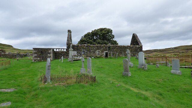
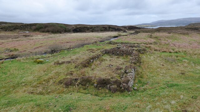
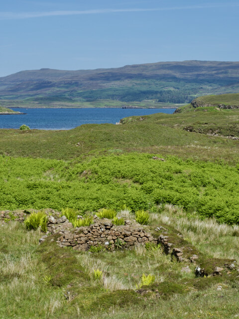
![Dun Totaig â a mass of tumbled stone and an invasion of bracken For historical information, see ‘Skye, Dun Totaig | Canmore’. 2023. Canmore.org.uk &lt;<span class="nowrap"><a title="https://canmore.org.uk/site/10834/skye-dun-totaig" rel="nofollow ugc noopener" href="https://canmore.org.uk/site/10834/skye-dun-totaig">Link</a><img style="margin-left:2px;" alt="External link" title="External link - shift click to open in new window" src="https://s1.geograph.org.uk/img/external.png" width="10" height="10"/></span> &gt; [accessed 14 July 2023]
](https://s3.geograph.org.uk/geophotos/07/54/17/7541799_32490dee.jpg)
Beinn a' Ghuail is located at Grid Ref: NG2348 (Lat: 57.439474, Lng: -6.6030157)
Unitary Authority: Highland
Police Authority: Highlands and Islands
What 3 Words
///boater.wordplay.gasp. Near Dunvegan, Highland
Nearby Locations
Related Wikis
Dunvegan Castle
Dunvegan Castle (Caisteal Dhùn Bheagain) is located 1 mile (1.6 km) to the north of Dunvegan on the Isle of Skye, off the west coast of Scotland. It is...
Dunvegan
Dunvegan (Scottish Gaelic: Dùn Bheagain) is a village on the Isle of Skye in Scotland. It is famous for Dunvegan Castle, seat of the chiefs of Clan MacLeod...
Eilean Mòr, Loch Dunvegan
Eilean Mòr is an uninhabited island in Loch Dunvegan in north west Skye, Scotland. At low water the island is connected to Eilean Dubh. == Footnotes ==
The Three Chimneys
The Three Chimneys is a restaurant in Colbost, Isle of Skye, Scotland. While in operation beforehand, the restaurant came to prominence after being taken...
Dun Fiadhairt
Dun Fiadhairt is an Iron Age broch located on the north coast of the island of Skye, in Scotland (grid reference NG23115042). == Location == Dun Fiadhairt...
Colbost
Colbost (Scottish Gaelic: Cealabost) is a scattered hamlet on the B884 road, in the Glendale estate, overlooking Loch Dunvegan on the Scottish island of...
Duirinish, Skye
Duirinish (Scottish Gaelic: Diùirinis) is a peninsula and civil parish on the island of Skye in Scotland. It is situated in the north west between Loch...
Totaig
Totaig (from Old Norse Topt-vík) is a small crofting settlement on the west coast of Loch Dunvegan on the Isle of Skye. The village of Dunvegan is 5 miles...
Nearby Amenities
Located within 500m of 57.439474,-6.6030157Have you been to Beinn a' Ghuail?
Leave your review of Beinn a' Ghuail below (or comments, questions and feedback).

